Beggardene Wood

Wood, Forest in Durham

England

Beggardene Wood

Farmland, Birtley
Farmland, Birtley Credit: N Chadwick

Beggardene Wood is a picturesque forest located in Durham, England. It covers an area of approximately 20 acres and is situated on the outskirts of the city. The wood is known for its diverse range of flora and fauna, making it a popular destination for nature enthusiasts and hikers.

The woodland consists mainly of native tree species such as oak, beech, and birch, creating a dense and vibrant canopy. Beneath the trees, the forest floor is adorned with a carpet of wildflowers, including bluebells, primroses, and foxgloves, which bloom in abundance during the spring and summer months.

Visitors to Beggardene Wood can enjoy a variety of walking trails that wind through the forest, offering beautiful views of the surrounding countryside. The paths are well-maintained and suitable for all ages and fitness levels. The wood is also home to a small stream, which adds to the tranquil atmosphere and provides a refreshing spot for picnics or quiet contemplation.

Wildlife is abundant in Beggardene Wood, with numerous bird species, including woodpeckers and owls, making their home in the trees. Squirrels can often be spotted darting through the branches, while rabbits and deer occasionally graze in the clearings.

The wood is open to the public year-round and is free to access. It is a popular spot for families, dog walkers, and photographers seeking to capture the beauty of nature. Beggardene Wood offers a peaceful retreat from the hustle and bustle of city life, providing a serene environment for visitors to connect with the natural world.

If you have any feedback on the listing, please let us know in the comments section below.

Beggardene Wood Images

Images are sourced within 2km of 54.896925/-1.6121259 or Grid Reference NZ2455. Thanks to Geograph Open Source API. All images are credited.

Farmland, Birtley
Farmland, Birtley
Farmland
Farmland
Floral display in colliery tub On small green at the southern  end of Ouston village.
Floral display in colliery tub
On small green at the southern end of Ouston village.
Tending to the flowers Floral display in a colliery tub, seen in <a href="https://www.geograph.org.uk/photo/7593635">NZ2554 : Floral display in colliery tub</a>.
Tending to the flowers
Floral display in a colliery tub, seen in NZ2554 : Floral display in colliery tub.
Royal tributes Civic pride of Ouston parish on show in the form of a floral display in a colliery tub, a flagpole to commemorate the Diamond Jubilee, and a bench for the Platinum Jubilee, both relating to the late Queen Elizabeth II.
Royal tributes
Civic pride of Ouston parish on show in the form of a floral display in a colliery tub, a flagpole to commemorate the Diamond Jubilee, and a bench for the Platinum Jubilee, both relating to the late Queen Elizabeth II.
Commemorative bench On a small green area at the southern end of Ouston village.
Commemorative bench
On a small green area at the southern end of Ouston village.
The Red Lion Pub on the corner of Ouston Lane and Millbanke Close.
The Red Lion
Pub on the corner of Ouston Lane and Millbanke Close.
Silverhills Nursery A view of the farm and the side of the greenhouses of Silverhills Nursery. The farm has cross country biking tracks
Silverhills Nursery
A view of the farm and the side of the greenhouses of Silverhills Nursery. The farm has cross country biking tracks
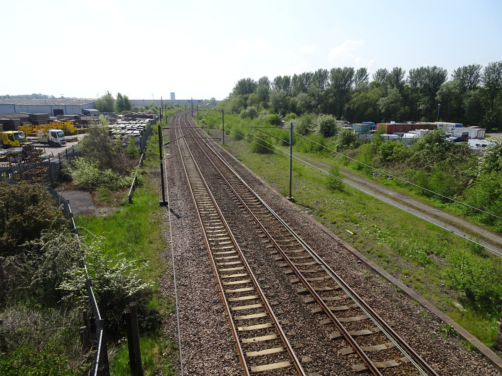
Railway sidings These sidings are on the East Coast Main Line, which runs from London's Kings Cross to Newcastle and beyond. Here you can see a local train travelling to Newcastle.
Railway sidings
These sidings are on the East Coast Main Line, which runs from London's Kings Cross to Newcastle and beyond. Here you can see a local train travelling to Newcastle.
Plantation on Kibblesworth Common The small Burn on the map is marked by the line of young trees in the middle distance.
Plantation on Kibblesworth Common
The small Burn on the map is marked by the line of young trees in the middle distance.
The road to High Urpeth Taken from the entrance to an old tip near Urpeth. High Urpeth is mostly hidden by the trees in the distance. The area to the left of the picture is called 'Mire Dubs' on the map. What on earth does this mean?
The road to High Urpeth
Taken from the entrance to an old tip near Urpeth. High Urpeth is mostly hidden by the trees in the distance. The area to the left of the picture is called 'Mire Dubs' on the map. What on earth does this mean?
Great North Forest Trail Cycle Trail on line of former Jarrow Railway
Great North Forest Trail
Cycle Trail on line of former Jarrow Railway
Kibblesworth Main Street
Beet Field Moormill Lane Looking NE from Great North Cycle Trail. Field boundary marks Moormill Lane
Beet Field Moormill Lane
Looking NE from Great North Cycle Trail. Field boundary marks Moormill Lane
Housing estate and farmland, Urpeth
Low Urpeth Farm
Low Urpeth Farm
Urpeth Bridge
Urpeth Bridge
Riding Farm
Riding Farm
Show me another place!

Beggardene Wood is located at Grid Ref: NZ2455 (Lat: 54.896925, Lng: -1.6121259)

Unitary Authority: Gateshead

Police Authority: Northumbria

What 3 Words

///bookmark.nobody.dried. Near Lamesley, Tyne & Wear

Related Wikis

Kibblesworth

Kibblesworth is a village 2 miles (3.2 km) west of Birtley, Tyne and Wear, England. Kibblesworth was a mainly rural community until the development of...

Ouston, County Durham

Ouston is a village in County Durham, about 8 miles (13 kilometres) south-west of Newcastle upon Tyne in the north-east of England. The main village of...

Birtley railway station

Birtley railway station served the town of Birtley, Tyne and Wear, England, from 1868 to 1955 on the East Coast Main Line. == History == The station opened...

Tyne Yard

Tyne Yard (TY) is a railway yard in Birtley, England, on the East Coast Main Line, operated by DB Cargo UK. The yard is the major freight yard of the North...

Nearby Amenities

Located within 500m of 54.896925,-1.6121259
Bewicke Main Colliery
Historic: mine
Mineral: coal
Source: NPE
Website: http://www.dmm.org.uk/colliery/b038.htm
Lat/Long: 54.8997686/-1.6080123
Barrier: lift_gate
Lat/Long: 54.8996965/-1.6070904
The data included in this document is from www.openstreetmap.org. The data is made available under ODbL.

Have you been to Beggardene Wood?

Leave your review of Beggardene Wood below (or comments, questions and feedback).