Ash Copse

Wood, Forest in Berkshire Vale of White Horse

England

Ash Copse

Bridge over the disused Wilts & Berks canal, Station road At the site of Shrivenham Wharf. <span class="nowrap"><a title="https://www.wbct.org.uk" rel="nofollow ugc noopener" href="https://www.wbct.org.uk">Link</a><img style="margin-left:2px;" alt="External link" title="External link - shift click to open in new window" src="https://s1.geograph.org.uk/img/external.png" width="10" height="10"/></span> <span class="nowrap"><a title="https://en.wikipedia.org/wiki/Wilts_%26_Berks_Canal" rel="nofollow ugc noopener" href="https://en.wikipedia.org/wiki/Wilts_%26_Berks_Canal">Link</a><img style="margin-left:2px;" alt="External link" title="External link - shift click to open in new window" src="https://s1.geograph.org.uk/img/external.png" width="10" height="10"/></span>
Bridge over the disused Wilts & Berks canal, Station road Credit: Vieve Forward

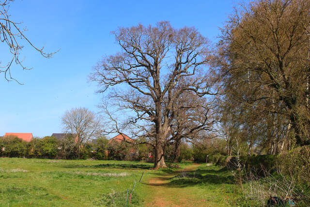
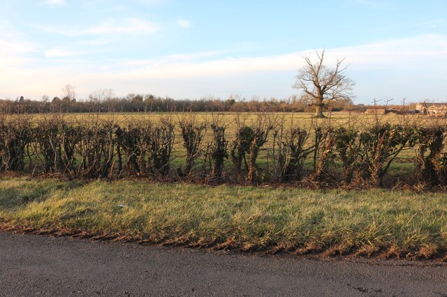
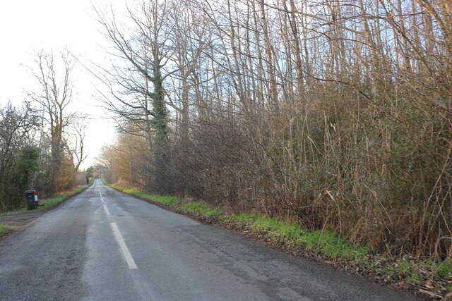
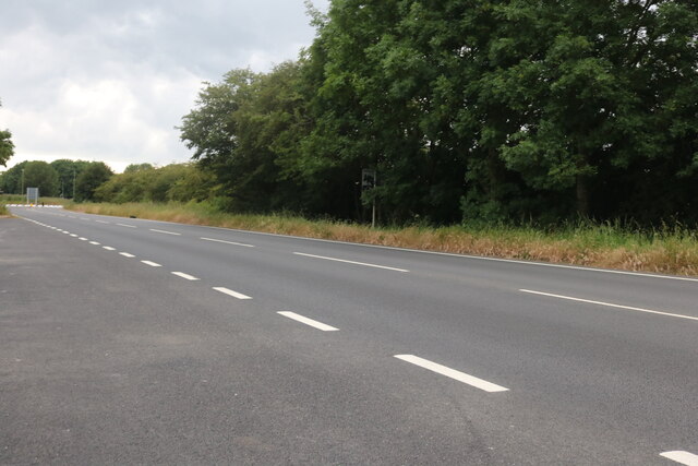
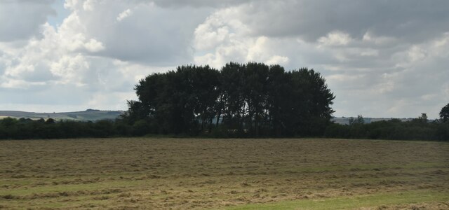
Ash Copse is a picturesque woodland located in Berkshire, England. Covering an area of approximately 100 acres, this ancient forest is renowned for its natural beauty and rich biodiversity. The copse is situated near the town of Pangbourne, nestled within the rolling hills and valleys of the Berkshire Downs.

As the name suggests, the woodland is predominantly composed of ash trees, which tower above the forest floor with their majestic presence. These trees create a dense canopy, providing a cool and shaded environment beneath. The dappled sunlight filters through the leaves, casting a magical glow on the forest floor.

Ash Copse is a haven for wildlife enthusiasts, as it is home to a diverse range of flora and fauna. The forest floor is carpeted with a variety of wildflowers, including bluebells, primroses, and wood anemones, creating a vibrant and colorful display during the spring months. The woodland is also home to a variety of bird species, including woodpeckers, song thrushes, and tawny owls.

The copse is crisscrossed with a network of well-maintained footpaths, providing visitors with the opportunity to explore the woodland and discover its hidden treasures. Walking through the forest, one can witness the ever-changing beauty of the seasons, from the vibrant greens of spring and summer to the fiery hues of autumn.

Ash Copse is a cherished natural gem in Berkshire, offering a tranquil escape from the hustle and bustle of everyday life. Whether you are a nature lover, a hiker, or simply seeking solace in the great outdoors, this enchanting woodland is sure to captivate your senses and leave you with a lasting impression.

If you have any feedback on the listing, please let us know in the comments section below.
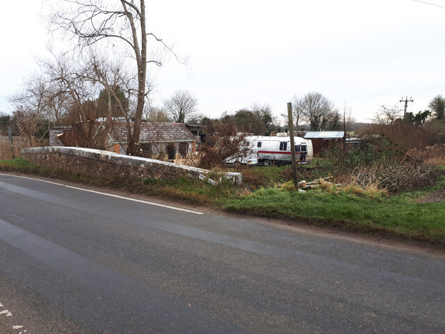
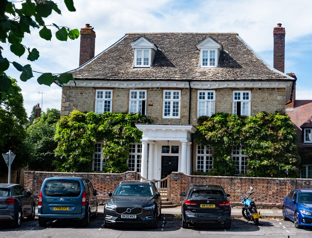
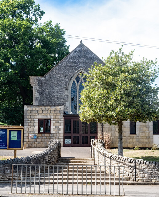
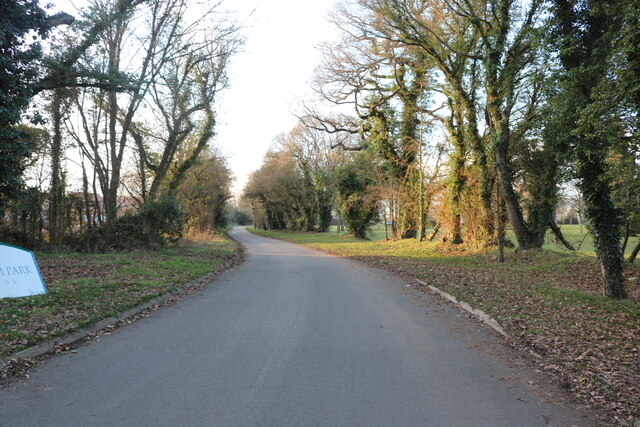
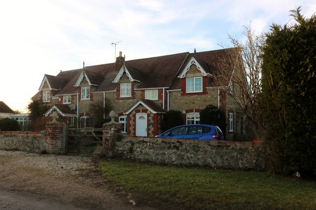
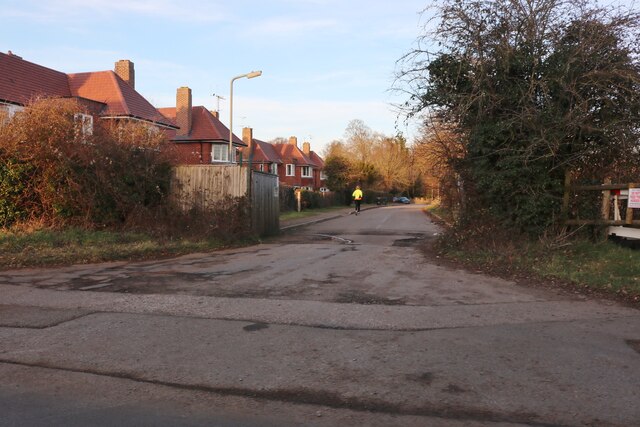
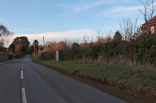
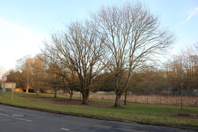
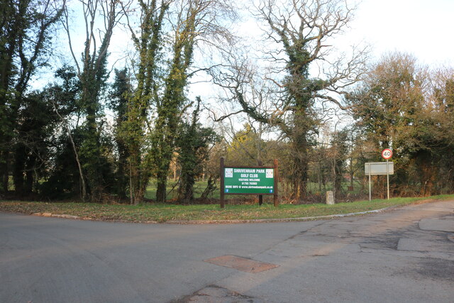
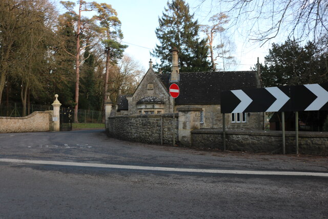
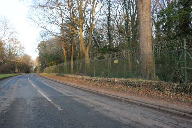
Ash Copse Images

Images are sourced within 2km of 51.597235/-1.6410213 or Grid Reference SU2488. Thanks to Geograph Open Source API. All images are credited.

Bridge over the disused Wilts & Berks canal, Station road At the site of Shrivenham Wharf. <span class="nowrap"><a title="https://www.wbct.org.uk" rel="nofollow ugc noopener" href="https://www.wbct.org.uk">Link</a><img style="margin-left:2px;" alt="External link" title="External link - shift click to open in new window" src="https://s1.geograph.org.uk/img/external.png" width="10" height="10"/></span> <span class="nowrap"><a title="https://en.wikipedia.org/wiki/Wilts_%26_Berks_Canal" rel="nofollow ugc noopener" href="https://en.wikipedia.org/wiki/Wilts_%26_Berks_Canal">Link</a><img style="margin-left:2px;" alt="External link" title="External link - shift click to open in new window" src="https://s1.geograph.org.uk/img/external.png" width="10" height="10"/></span>
Bridge over the disused Wilts & Berks canal, Station road
At the site of Shrivenham Wharf. LinkExternal link LinkExternal link
Footpath near Shrivenham Footpath near Shrivenham.
Footpath near Shrivenham
Footpath near Shrivenham.
Shrivenham : Elm Tree House Grade II* listed house - <span class="nowrap"><a title="https://historicengland.org.uk/listing/the-list/list-entry/1183075?section=official-list-entry" rel="nofollow ugc noopener" href="https://historicengland.org.uk/listing/the-list/list-entry/1183075?section=official-list-entry">Link</a><img style="margin-left:2px;" alt="External link" title="External link - shift click to open in new window" src="https://s1.geograph.org.uk/img/external.png" width="10" height="10"/></span>
Shrivenham : Elm Tree House
Grade II* listed house - LinkExternal link
Shrivenham : Methodist Church
Shrivenham : window of thatched cottage
Pennyhooks Lane, Shrivenham Leading to the golf club.
Pennyhooks Lane, Shrivenham
Leading to the golf club.
Cottages on Longcot Road near Watchfield
Park Avenue, Shrivenham
Longcot Road, Shrivenham
Faringdon Road, Shrivenham
The entrance to Shrivenham Park Golf Club
Lodge at the entrance to Cranfield University, Shrivenham Here is the entrance to their original site. <a title="https://www.geograph.org.uk/photo/7309040" href="https://www.geograph.org.uk/photo/7309040">Link</a>
Lodge at the entrance to Cranfield University, Shrivenham
Here is the entrance to their original site. Link
Northford Hill, Shrivenham Cranfield University is behind the trees on the right.
Northford Hill, Shrivenham
Cranfield University is behind the trees on the right.
Field by Longcot Road, Shrivenham You can just see Home Farm on the right attached to the field.
Field by Longcot Road, Shrivenham
You can just see Home Farm on the right attached to the field.
Longcot Road, Shrivenham
The A420, Shrivenham
Near Chaplewick Farm
Old Boundary Markers on Northford Bridge Two Parish Boundary Markers a few metres apart at the foot of the parapet of Northford Bridge, Tuckmill Brook, on the southeast side of the former A420 Faringdon Road / Northford Hill. These could just be wheel guards as there are no inscriptions and nothing is shown on old Ordnance Survey maps but the stones are set either side of the boundary between Shrivenham and Watchfield parishes.

Milestone Society National ID: BE_SHRWAT01pb
Old Boundary Markers on Northford Bridge
Two Parish Boundary Markers a few metres apart at the foot of the parapet of Northford Bridge, Tuckmill Brook, on the southeast side of the former A420 Faringdon Road / Northford Hill. These could just be wheel guards as there are no inscriptions and nothing is shown on old Ordnance Survey maps but the stones are set either side of the boundary between Shrivenham and Watchfield parishes. Milestone Society National ID: BE_SHRWAT01pb
Show me another place!

Ash Copse is located at Grid Ref: SU2488 (Lat: 51.597235, Lng: -1.6410213)

Administrative County: Oxfordshire

District: Vale of White Horse

Police Authority: Thames Valley

What 3 Words

///attend.glare.elect. Near Shrivenham, Oxfordshire

Related Wikis

Beckett Hall

Beckett Hall (or Beckett House) is a country house at Shrivenham in the English county of Oxfordshire (formerly in Berkshire). The present house dates...

Royal Army Chaplains' Museum

The Royal Army Chaplains' Museum (formerly the Museum of Army Chaplaincy) tells the story of British Army chaplaincy from earliest times to the present...

Defence Academy of the United Kingdom

The Defence Academy of the United Kingdom provides higher education for personnel in the British Armed Forces, Civil Service, other government departments...

Royal Military College of Science

The Royal Military College of Science (RMCS) was a British postgraduate school, research institution and training provider with origins dating back to...

Shrivenham F.C.

Shrivenham F.C. is a football club based in Shrivenham, an Oxfordshire village, near Swindon, England. They play in the Wiltshire League Premier Division...

Shrivenham

Shrivenham is a village and civil parish in the Vale of White Horse, Oxfordshire, England, about 5 miles (8 km) south-west of Faringdon. The village is...

Joint Services Command and Staff College

Joint Services Command and Staff College (JSCSC) is a British military academic establishment providing training and education to experienced officers...

Advanced Research and Assessment Group

The Advanced Research and Assessment Group (ARAG) was a department of the Defence Academy of the United Kingdom concerned with long-term planning and threat...

Nearby Amenities

Located within 500m of 51.597235,-1.6410213
Power: pole
Lat/Long: 51.5959465/-1.6447735
Power: pole
Lat/Long: 51.5959415/-1.6438347
Power: pole
Lat/Long: 51.5959215/-1.6415575
Power: pole
Lat/Long: 51.5959115/-1.6396692
Power: pole
Lat/Long: 51.5959098/-1.6349271
Power: pole
Lat/Long: 51.5973269/-1.6481102
Power: pole
Lat/Long: 51.5950226/-1.6460958
The data included in this document is from www.openstreetmap.org. The data is made available under ODbL.

Have you been to Ash Copse?

Leave your review of Ash Copse below (or comments, questions and feedback).