Bruns Wood

Wood, Forest in Derbyshire Derbyshire Dales

England

Bruns Wood

The A5012 Winding up through the wooded valley near Via Gellia.
The A5012 Credit: David Lally

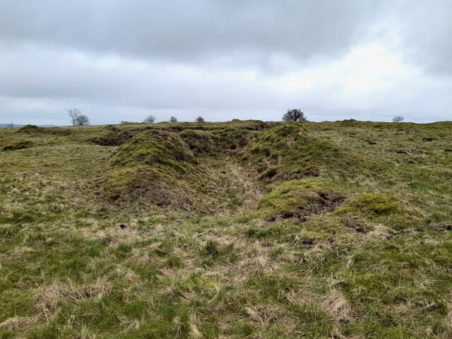
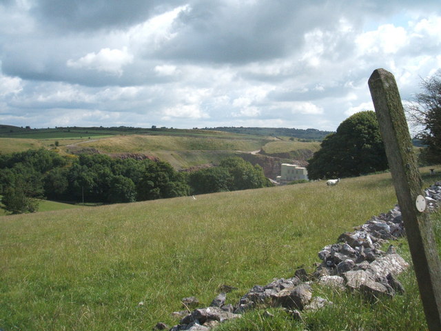
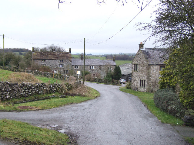
Bruns Wood, located in Derbyshire, England, is a picturesque forest area renowned for its natural beauty and diverse wildlife. Covering an area of approximately 100 hectares, it is a popular destination for nature enthusiasts, hikers, and birdwatchers alike.

The wood is home to a rich variety of trees, including oak, beech, birch, and conifers, which create a vibrant and ever-changing landscape throughout the seasons. The dense canopy provides a cool and shaded environment, perfect for leisurely strolls on hot summer days. In the autumn, the forest floor becomes a carpet of colorful leaves, attracting photographers and visitors seeking a peaceful retreat.

Wildlife thrives in Bruns Wood, with numerous species calling this forest their home. Squirrels can be spotted darting among the treetops, while badgers, foxes, and deer are occasionally glimpsed at dawn or dusk. Bird lovers will delight in the opportunity to observe a wide range of feathered creatures, including woodpeckers, owls, and various songbirds.

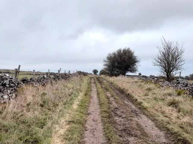
For outdoor enthusiasts, Bruns Wood offers a network of well-maintained trails and paths, allowing visitors to explore the area at their own pace. The forest also features picnic areas and benches, providing the perfect setting for a relaxing lunch amidst nature.

Bruns Wood is easily accessible, with ample parking facilities and clear signposts directing visitors to its entrance. The forest is managed by local authorities, ensuring its preservation and maintenance for future generations to enjoy. Whether seeking solitude, adventure, or a deeper connection with nature, Bruns Wood offers a serene and captivating experience for all who venture within its boundaries.

If you have any feedback on the listing, please let us know in the comments section below.

Bruns Wood Images

Images are sourced within 2km of 53.105591/-1.6286435 or Grid Reference SK2456. Thanks to Geograph Open Source API. All images are credited.

The A5012 Winding up through the wooded valley near Via Gellia.
The A5012
Winding up through the wooded valley near Via Gellia.
Old limestone workings below Harboro Rocks A popular climbing area on the rocks, with old and modern limestone workings all around
Old limestone workings below Harboro Rocks
A popular climbing area on the rocks, with old and modern limestone workings all around
High Peak Trail in Derbyshire Former railway line, cruelly cut by Beeching in 1967, but now a delightful walking and cycling trail.
High Peak Trail in Derbyshire
Former railway line, cruelly cut by Beeching in 1967, but now a delightful walking and cycling trail.
Whitelows Farm Farm yard and house, with a few of very old household item in the yard awaiting to be sold.
Whitelows Farm
Farm yard and house, with a few of very old household item in the yard awaiting to be sold.
Derelict Farmhouse The long abandoned farmhouse at Whitelows, the farming equipment is all up for sale due to the death of the farmer.
Derelict Farmhouse
The long abandoned farmhouse at Whitelows, the farming equipment is all up for sale due to the death of the farmer.
Footpath and notice The auctioneers have posted a notice on the footpath gate, and fine views across to  Carsington Pasture with the wind turbines.
Footpath and notice
The auctioneers have posted a notice on the footpath gate, and fine views across to Carsington Pasture with the wind turbines.
The sale in progress The farming equipment up for auction at Whitelows farm.
The sale in progress
The farming equipment up for auction at Whitelows farm.
Lower Chance mine, Derbyshire. The last surviving stowe In 1970, near the top of the Hopton Incline on the High Peak railway, there remained the last surviving stowe, or winding device, on any Derbyshire lead mine. Once a familiar sight through the centuries, these "jack rolls" were used, not only for winding ore but, in a miniature version, spaced along the length of the lead veins, to denote ownership. At the time, in a sorry state, it has now long vanished and only overgrown spoil heap humps in the field denote its approximate position.
Lower Chance mine, Derbyshire. The last surviving stowe
In 1970, near the top of the Hopton Incline on the High Peak railway, there remained the last surviving stowe, or winding device, on any Derbyshire lead mine. Once a familiar sight through the centuries, these "jack rolls" were used, not only for winding ore but, in a miniature version, spaced along the length of the lead veins, to denote ownership. At the time, in a sorry state, it has now long vanished and only overgrown spoil heap humps in the field denote its approximate position.
Old limekiln
Old limekiln
Pond at Leys Farm
Pond at Leys Farm
Green Lane
Green Lane
Former lane An old road marked on pre 1970s maps but now blocked off.
Former lane
An old road marked on pre 1970s maps but now blocked off.
Carsington Pasture A small hillock marked on map, together with  wind turbines.
Carsington Pasture
A small hillock marked on map, together with wind turbines.
Roadside Flowers A group of wild flowers  in the roadside verge.
Roadside Flowers
A group of wild flowers in the roadside verge.
Sheep and grassland Sheep in the field near Hoben works.
Sheep and grassland
Sheep in the field near Hoben works.
Harboro Rocks Viewed from the Mid-Shires Way path.
Harboro Rocks
Viewed from the Mid-Shires Way path.
Wind turbines east of Harboro Rocks
Works Work seen from the High Peak Trail.
Works
Work seen from the High Peak Trail.
Show me another place!

Bruns Wood is located at Grid Ref: SK2456 (Lat: 53.105591, Lng: -1.6286435)

Administrative County: Derbyshire

District: Derbyshire Dales

Police Authority: Derbyshire

What 3 Words

///bricks.painter.proposals. Near Cromford, Derbyshire

Nearby Locations

Lilies Wood Bruns Wood

Related Wikis

Ible

Ible (pronounced 'eyebull', or 'ib-ull') is a hamlet in Derbyshire, England, just within the Peak District National Park.It is near the Via Gellia valley...

Grangemill

Grangemill is a village in the English county of Derbyshire. The hamlet is made up of a cluster of houses, a farm and a pub called the Hollybush. There...

West Derbyshire (UK Parliament constituency)

West Derbyshire was a county constituency represented in the House of Commons of the Parliament of the United Kingdom. From 1885, until it was replaced...

Ivonbrook Grange

Ivonbrook Grange is a civil parish within the Derbyshire Dales district, in the county of Derbyshire, England. Largely rural, Ivonbrook Grange's population...

Harboro' Rocks

Harboro' Rocks (or Harborough Rocks) is a dolomitic limestone hill near the village of Brassington in the Derbyshire Peak District. The summit is 379 metres...

Aldwark, Derbyshire

Aldwark (Old English "the old fortification") is a small upland village and parish in the Derbyshire Dales district of Derbyshire, England, about 8 miles...

Hopton Tunnel

Hopton Tunnel is a former railway tunnel in Hopton, Derbyshire. Located on the former Cromford and High Peak Railway. The tunnel was closed along with...

Longcliffe

Longcliffe is a crossroads hamlet in the English county of Derbyshire. It lies on the B5056 road where it is crossed by the Brassington-Elton road. The...

Nearby Amenities

Located within 500m of 53.105591,-1.6286435
Post Box
Operator: Royal Mail
Ref: DE4 334
Lat/Long: 53.1099853/-1.6290969
Barrier: stile
Material: wood
Stile: stepover
Lat/Long: 53.1098981/-1.6271597
Power: pole
Lat/Long: 53.103466/-1.6349231
Power: pole
Lat/Long: 53.1044294/-1.6354983
Power: pole
Lat/Long: 53.105341/-1.6360958
Power: pole
Lat/Long: 53.103474/-1.6349198
Barrier: stile
Material: stone
Source: survey;gps
Stile: stepover
Lat/Long: 53.1097074/-1.6287978
Barrier: stile
Material: stone
Source: survey;gps
Stile: squeezer
Lat/Long: 53.1099252/-1.6286489
The data included in this document is from www.openstreetmap.org. The data is made available under ODbL.

Have you been to Bruns Wood?

Leave your review of Bruns Wood below (or comments, questions and feedback).