Alvecote Wood

Wood, Forest in Warwickshire North Warwickshire

England

Alvecote Wood

M42 Motorway - B5000 overbridge
M42 Motorway - B5000 overbridge Credit: Peter Whatley

Alvecote Wood is a picturesque woodland located in Warwickshire, England. This enchanting forest spans an area of approximately 10 acres and is renowned for its natural beauty and diverse wildlife.

The wood is predominantly made up of native broadleaf trees, including oak, ash, and beech, which create a stunning canopy overhead. These trees provide a tranquil and shady environment, making it an ideal spot for nature lovers and walkers to explore.

Alvecote Wood is home to a wide variety of wildlife, including birds, butterflies, and small mammals. Birdwatchers will be delighted to spot species such as woodpeckers, nuthatches, and treecreepers, among others. The woodland floor is adorned with a multitude of wildflowers and ferns, creating a vibrant and colorful display throughout the year.

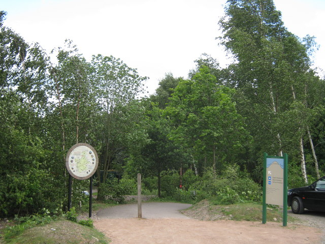
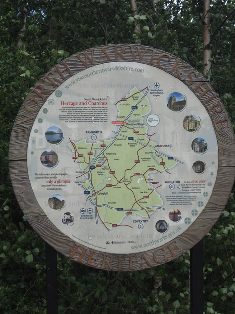
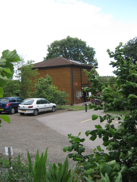
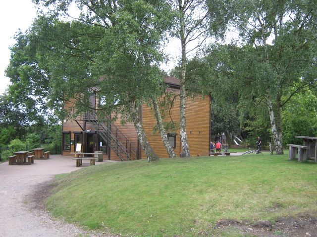
Visitors to Alvecote Wood can enjoy a network of well-maintained footpaths that wind their way through the forest. These paths offer a chance to immerse oneself in nature and soak up the peaceful ambiance of the woodland. Along the way, there are several benches and picnic areas, providing opportunities for visitors to relax and observe the surroundings.

The wood is managed by a local conservation group, ensuring the preservation of its natural habitats and the protection of its wildlife. Educational programs and events are also organized to raise awareness about the importance of woodland conservation and promote an understanding of the local ecosystem.

Overall, Alvecote Wood is a hidden gem in Warwickshire, offering a serene and idyllic escape for those seeking a connection with nature.

If you have any feedback on the listing, please let us know in the comments section below.

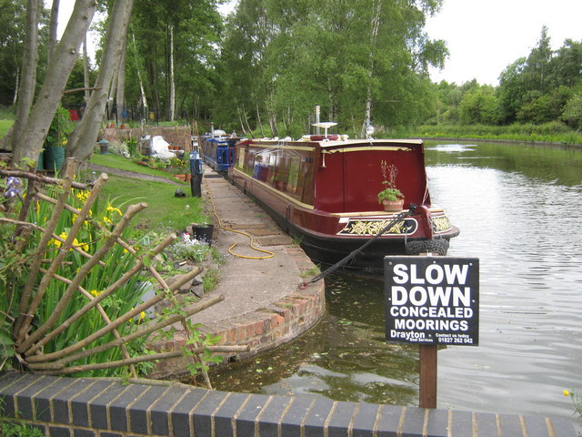
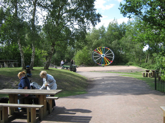
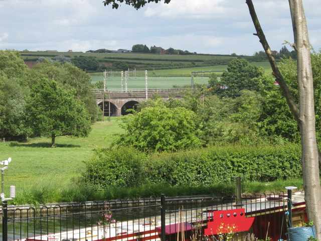
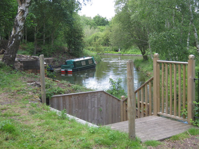
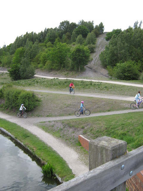
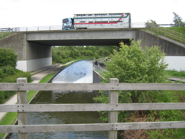
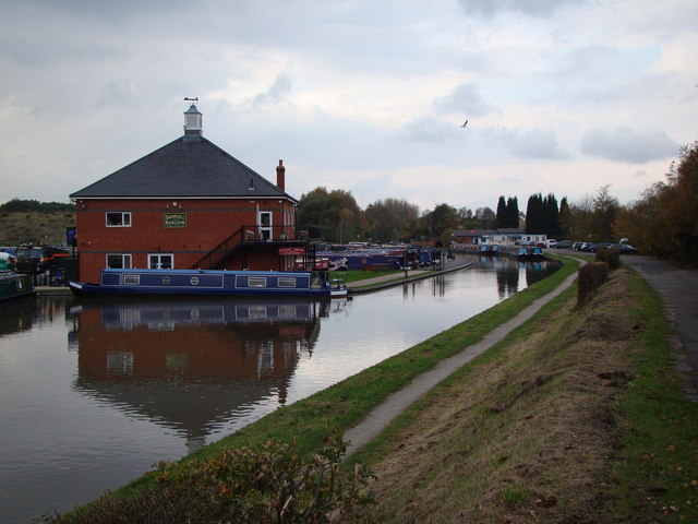
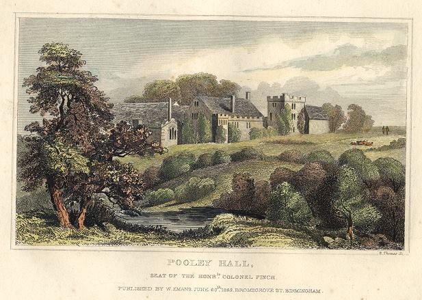
Alvecote Wood Images

Images are sourced within 2km of 52.628913/-1.6328069 or Grid Reference SK2403. Thanks to Geograph Open Source API. All images are credited.

M42 Motorway - B5000 overbridge
M42 Motorway curving around Polesworth
M42 Motorway near Pooley Hall
M42 Motorway near Polesworth
Schomberg family memorial, St Editha's Churchyard John Duff Schomberg was vicar of Polesworth 1841-1864. The record of monumental inscriptions describes this as an obelisk, whereas it is a tall pedestal supporting a half-shrouded urn, all of Portland stone.
Schomberg family memorial, St Editha's Churchyard
John Duff Schomberg was vicar of Polesworth 1841-1864. The record of monumental inscriptions describes this as an obelisk, whereas it is a tall pedestal supporting a half-shrouded urn, all of Portland stone.
Alvecote Priory Peaceful site, alongside Coventry Canal (no longer having car-park due to vandalism)

<span class="nowrap"><a title="http://www.northwarks.gov.uk/info/200332/places_to_visit/85/picnic_areas_in_north_warwickshire/2" rel="nofollow ugc noopener" href="http://www.northwarks.gov.uk/info/200332/places_to_visit/85/picnic_areas_in_north_warwickshire/2">Link</a><img style="margin-left:2px;" alt="External link" title="External link - shift click to open in new window" src="https://s1.geograph.org.uk/img/external.png" width="10" height="10"/></span>
Alvecote Priory
Peaceful site, alongside Coventry Canal (no longer having car-park due to vandalism) LinkExternal link
Ruins of Alvecote Priory Delightful quiet spot, alongside Coventry Canal

<span class="nowrap"><a title="http://www.northwarks.gov.uk/info/200332/places_to_visit/85/picnic_areas_in_north_warwickshire/2" rel="nofollow ugc noopener" href="http://www.northwarks.gov.uk/info/200332/places_to_visit/85/picnic_areas_in_north_warwickshire/2">Link</a><img style="margin-left:2px;" alt="External link" title="External link - shift click to open in new window" src="https://s1.geograph.org.uk/img/external.png" width="10" height="10"/></span>
Ruins of Alvecote Priory
Delightful quiet spot, alongside Coventry Canal LinkExternal link
Path to Pooley Heritage Centre Pathway down from car park at Pooley Heritage site

<span class="nowrap"><a title="http://www.warwickshire.gov.uk/web/corporate/pages.nsf/Links/55940A8538A8910180256CD00057A182" rel="nofollow ugc noopener" href="http://www.warwickshire.gov.uk/web/corporate/pages.nsf/Links/55940A8538A8910180256CD00057A182">Link</a><img style="margin-left:2px;" alt="External link" title="External link - shift click to open in new window" src="https://s1.geograph.org.uk/img/external.png" width="10" height="10"/></span>
Path to Pooley Heritage Centre
Pathway down from car park at Pooley Heritage site LinkExternal link
North Warwickshire Heritage Information board at pathway to Heritage Centre next to Pooley Country Park's car park

<span class="nowrap"><a title="http://www.warwickshire.gov.uk/web/corporate/pages.nsf/Links/55940A8538A8910180256CD00057A182" rel="nofollow ugc noopener" href="http://www.warwickshire.gov.uk/web/corporate/pages.nsf/Links/55940A8538A8910180256CD00057A182">Link</a><img style="margin-left:2px;" alt="External link" title="External link - shift click to open in new window" src="https://s1.geograph.org.uk/img/external.png" width="10" height="10"/></span>
North Warwickshire Heritage
Information board at pathway to Heritage Centre next to Pooley Country Park's car park LinkExternal link
Pooley Heritage Centre Situated on site of former colliery, alongside Coventry canal; cafe, historic and nature facts

<span class="nowrap"><a title="http://www.warwickshire.gov.uk/web/corporate/pages.nsf/Links/55940A8538A8910180256CD00057A182" rel="nofollow ugc noopener" href="http://www.warwickshire.gov.uk/web/corporate/pages.nsf/Links/55940A8538A8910180256CD00057A182">Link</a><img style="margin-left:2px;" alt="External link" title="External link - shift click to open in new window" src="https://s1.geograph.org.uk/img/external.png" width="10" height="10"/></span>
Pooley Heritage Centre
Situated on site of former colliery, alongside Coventry canal; cafe, historic and nature facts LinkExternal link
Pooley Heritage Centre Visitor centre and cafe alongside Coventry Canal, near M42 and north-west of Polesworth

<span class="nowrap"><a title="http://www.warwickshire.gov.uk/web/corporate/pages.nsf/Links/55940A8538A8910180256CD00057A182" rel="nofollow ugc noopener" href="http://www.warwickshire.gov.uk/web/corporate/pages.nsf/Links/55940A8538A8910180256CD00057A182">Link</a><img style="margin-left:2px;" alt="External link" title="External link - shift click to open in new window" src="https://s1.geograph.org.uk/img/external.png" width="10" height="10"/></span>
Pooley Heritage Centre
Visitor centre and cafe alongside Coventry Canal, near M42 and north-west of Polesworth LinkExternal link
Private Moorings Along Coventry Canal, at location of Pooley Heritage Centre, moorings with pleasant gardens in a small 'cutting', possibly dating back to days of coal-mining in the area

<span class="nowrap"><a title="http://www.warwickshire.gov.uk/web/corporate/pages.nsf/Links/55940A8538A8910180256CD00057A182" rel="nofollow ugc noopener" href="http://www.warwickshire.gov.uk/web/corporate/pages.nsf/Links/55940A8538A8910180256CD00057A182">Link</a><img style="margin-left:2px;" alt="External link" title="External link - shift click to open in new window" src="https://s1.geograph.org.uk/img/external.png" width="10" height="10"/></span>
Private Moorings
Along Coventry Canal, at location of Pooley Heritage Centre, moorings with pleasant gardens in a small 'cutting', possibly dating back to days of coal-mining in the area LinkExternal link
Picnic benches and trail Pooley Heritage centre and country park on a sunny weekend
Picnic benches and trail
Pooley Heritage centre and country park on a sunny weekend
Two forms of transport View from Pooley country park, and canal boat moorings of Coventry canal, looking across to railway viaduct crossing River Anker, north of Polesworth
Two forms of transport
View from Pooley country park, and canal boat moorings of Coventry canal, looking across to railway viaduct crossing River Anker, north of Polesworth
Moorings, Pooley Country Park Moorings alongside Coventry Canal near Polesworth
Moorings, Pooley Country Park
Moorings alongside Coventry Canal near Polesworth
M42 crosses Coventry Canal Motorway crossing canal just north of Pooley (Fields) Country park and heritage centre. Road is private accessing former colliery site beyond.  The woods beyond are at the foot of former colliery spoil heap (now a hill to climb up)
M42 crosses Coventry Canal
Motorway crossing canal just north of Pooley (Fields) Country park and heritage centre. Road is private accessing former colliery site beyond. The woods beyond are at the foot of former colliery spoil heap (now a hill to climb up)
Cycle and footpath trails, Pooley View from footbridge crossing Coventry canal in country park at Pooley (Fields), towards hillock (former colliery spoil)
Cycle and footpath trails, Pooley
View from footbridge crossing Coventry canal in country park at Pooley (Fields), towards hillock (former colliery spoil)
Coventry Canal and M42 View of canal and M42 crossing above, near Pooley Heritage centre and country park. Trail on left of canal is part of the country park, whilst road under motorway on right of canal is private, and used for pedestrians.
Coventry Canal and M42
View of canal and M42 crossing above, near Pooley Heritage centre and country park. Trail on left of canal is part of the country park, whilst road under motorway on right of canal is private, and used for pedestrians.
Show me another place!

Alvecote Wood is located at Grid Ref: SK2403 (Lat: 52.628913, Lng: -1.6328069)

Administrative County: Warwickshire

District: North Warwickshire

Police Authority: Warwickshire

What 3 Words

///both.logo.bake. Near Polesworth, Warwickshire

Nearby Locations

Alvecote Wood

Related Wikis

Nearby Amenities

Located within 500m of 52.628913,-1.6328069
Generator Method: photovoltaic
Generator Output Electricity: yes
Generator Source: solar
Generator Type: solar_photovoltaic_panel
Location: roof
Power: generator
Lat/Long: 52.6261015/-1.6380519
The data included in this document is from www.openstreetmap.org. The data is made available under ODbL.

Have you been to Alvecote Wood?

Leave your review of Alvecote Wood below (or comments, questions and feedback).