Birch Plantation
Wood, Forest in Berkshire Vale of White Horse
England
Birch Plantation
Birch Plantation, located in Berkshire, is a stunning woodland area known for its abundant birch trees. Spanning across a vast area, the plantation offers a serene and picturesque natural environment that attracts nature enthusiasts, hikers, and photographers alike.
The plantation is home to a diverse range of flora and fauna, with various plant species thriving in the nutrient-rich soil. Apart from the dominant birch trees, visitors can also spot oak, beech, and pine trees, creating a rich tapestry of colors and textures throughout the seasons.
The woodland floor is covered with a lush carpet of moss, ferns, and wildflowers, providing a tranquil and enchanting ambiance. Wildlife is plentiful in Birch Plantation, with numerous bird species, including woodpeckers and owls, making it their habitat. Squirrels, rabbits, and foxes can also be spotted frolicking among the trees.
The plantation offers several walking trails and paths, allowing visitors to explore the woodland at their own pace. These trails are well-maintained, making it accessible for all levels of fitness. Nature lovers can immerse themselves in the peaceful surroundings, breathing in the fresh air and listening to the soothing sounds of nature.
Birch Plantation is a popular destination for outdoor enthusiasts, providing opportunities for activities such as hiking, birdwatching, and photography. It offers a temporary escape from the hustle and bustle of city life, providing a tranquil retreat where visitors can reconnect with nature and rejuvenate their senses.
If you have any feedback on the listing, please let us know in the comments section below.
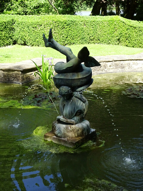
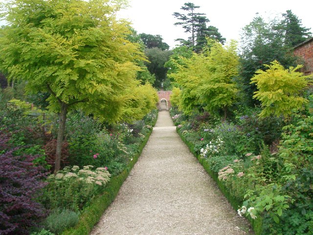
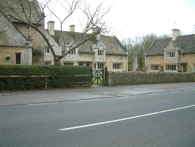
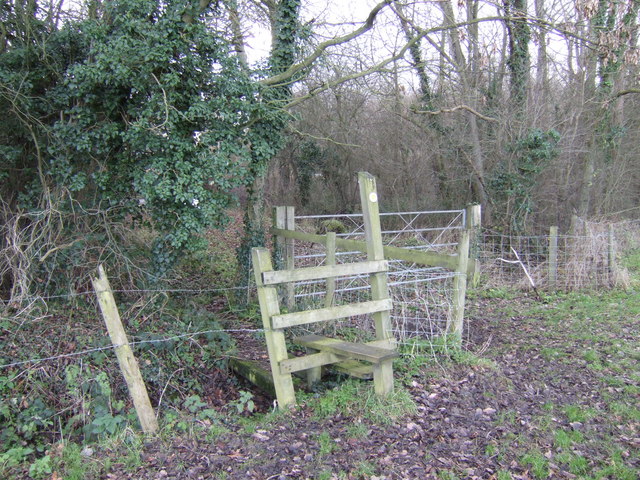
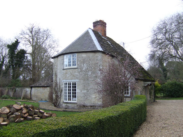
Birch Plantation Images
Images are sourced within 2km of 51.666683/-1.6406899 or Grid Reference SU2496. Thanks to Geograph Open Source API. All images are credited.


Birch Plantation is located at Grid Ref: SU2496 (Lat: 51.666683, Lng: -1.6406899)
Administrative County: Oxfordshire
District: Vale of White Horse
Police Authority: Thames Valley
What 3 Words
///wound.depend.soulful. Near Faringdon, Oxfordshire
Nearby Locations
Related Wikis
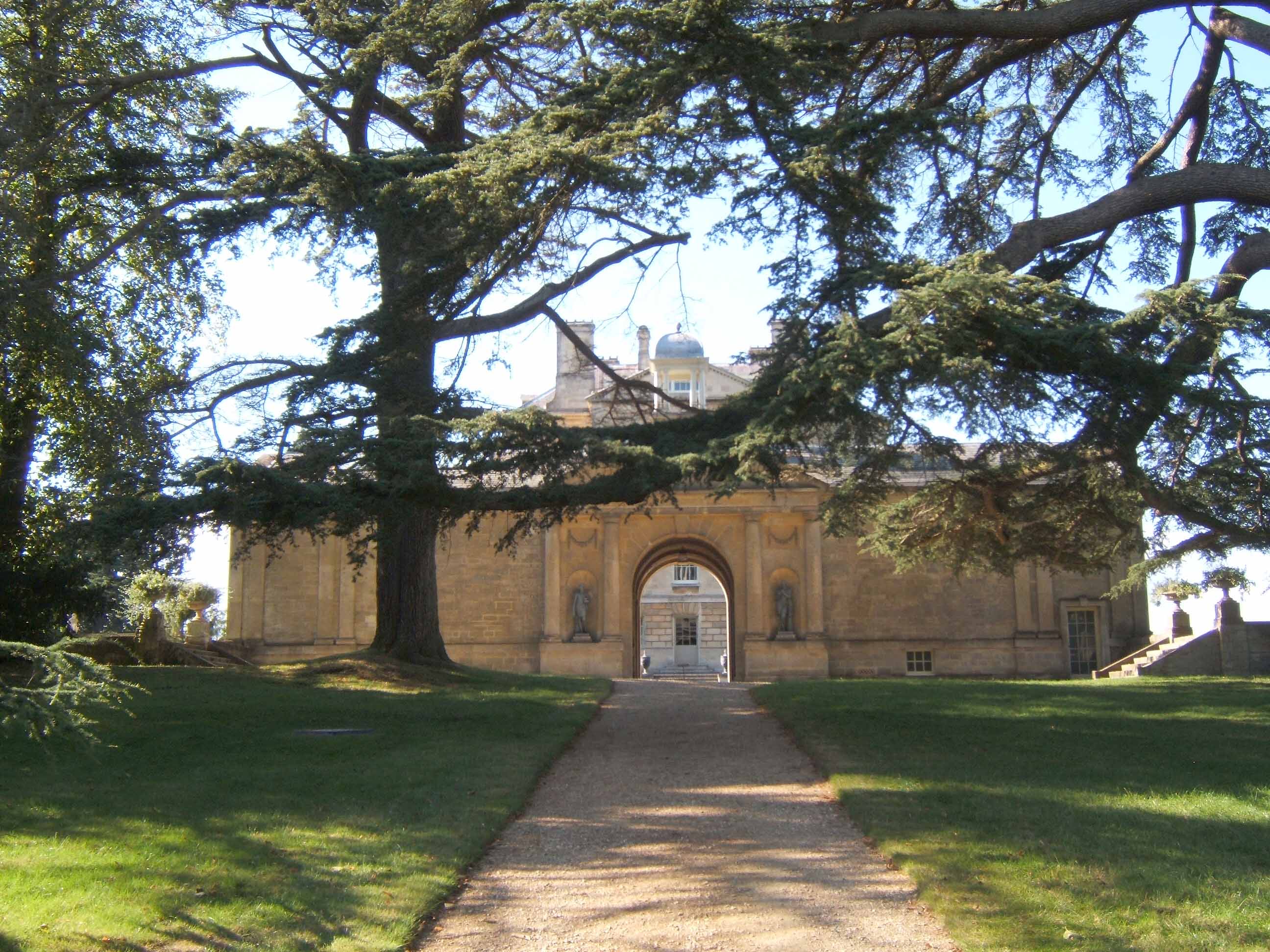
Buscot Park
Buscot Park is a country house at Buscot near the town of Faringdon in Oxfordshire within the historic boundaries of Berkshire. It is a Grade II* listed...

Eaton Footbridge
Eaton Footbridge is a wooden footbridge across the River Thames in Oxfordshire, England. It is situated on the reach above Grafton Lock. The bridge was...

Buscot
Buscot is an English village and civil parish on the River Thames, about 1.5 miles (2.4 km) south-east of Lechlade. Buscot was part of Berkshire until...

Badbury Hill
Badbury Hill is a hill in the civil parish of Great Coxwell near Faringdon in the English county of Oxfordshire. In 1974 it was transferred from Berkshire...
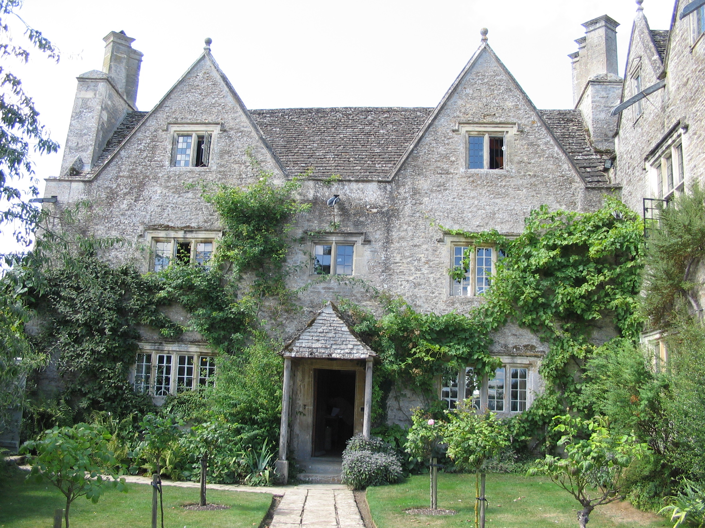
Kelmscott Manor
Kelmscott Manor is a limestone manor house in the Cotswolds village of Kelmscott, in West Oxfordshire, southern England. It dates from around 1570, with...

Eaton Hastings
Eaton Hastings is a village and civil parish beside the River Thames about two-and-a-half miles (4 km) north-west of Faringdon. It was in Berkshire until...

Buscot Lock
Buscot Lock is a lock on the River Thames in England, near the village of Buscot, Oxfordshire. The lock was built of stone by the Thames Navigation Commission...
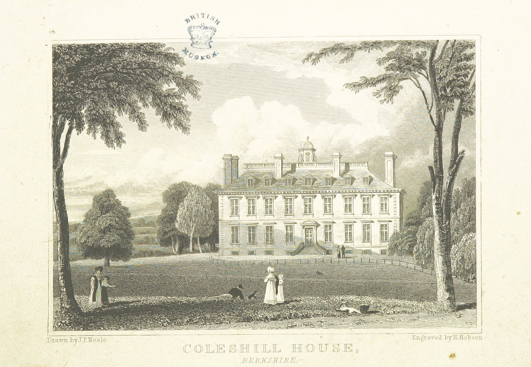
Coleshill House
Coleshill House was a country house in England, near the village of Coleshill, in the Vale of White Horse. Historically, the house was in Berkshire but...
Nearby Amenities
Located within 500m of 51.666683,-1.6406899Have you been to Birch Plantation?
Leave your review of Birch Plantation below (or comments, questions and feedback).