Black Plantation
Wood, Forest in Durham
England
Black Plantation

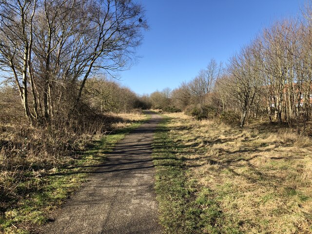
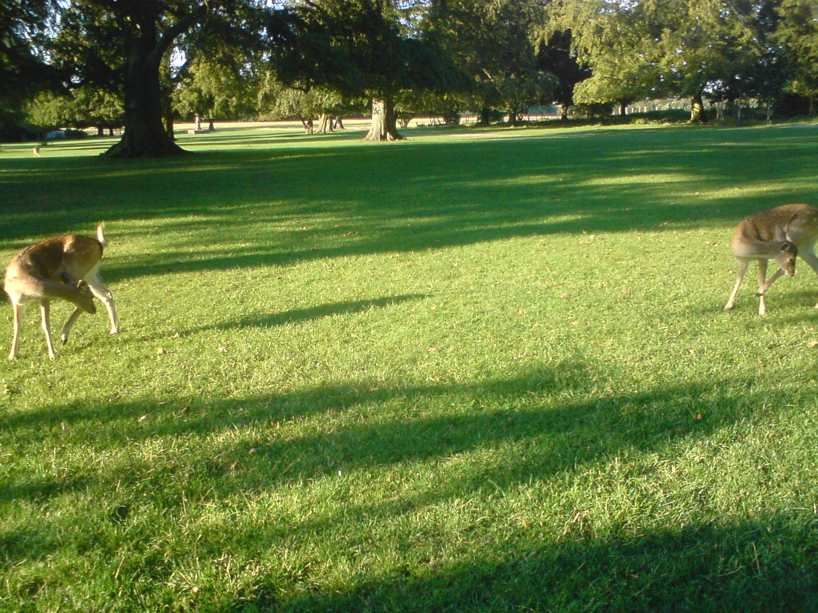
Black Plantation, Durham (Wood, Forest) is a historic site located in Durham, England. It is a woodland area that holds significance due to its rich history and natural beauty. The plantation is known for its dense forest, which is predominantly composed of oak and beech trees.
The origin of the name "Black Plantation" is uncertain, but it is believed to have historical connotations. It is speculated that the name might have been inspired by the dark color of the soil or the dense foliage found in the area.
The forest has been well-preserved and is a popular destination for nature enthusiasts, hikers, and locals seeking a tranquil retreat. The woodland offers a network of walking trails, allowing visitors to explore the area at their own pace. The paths wind through the trees, offering picturesque views of the surrounding landscape.
Black Plantation's diverse ecosystem supports a variety of wildlife, making it an ideal spot for birdwatching and wildlife observation. Visitors can often spot species such as red squirrels, woodpeckers, and various woodland birds.
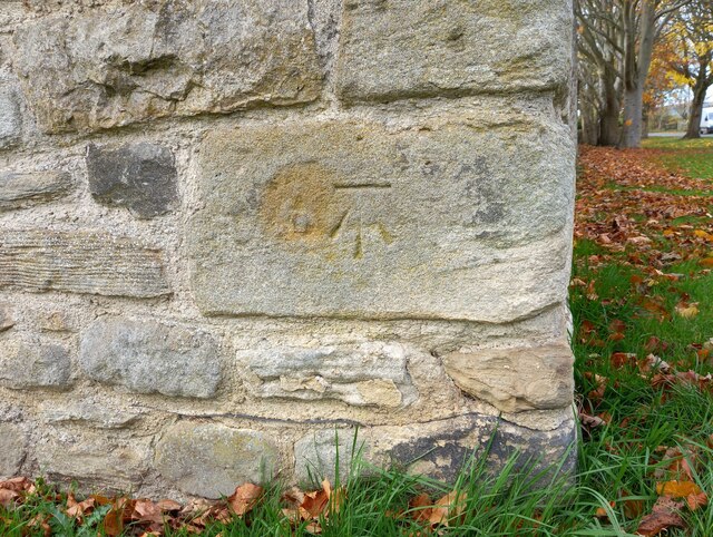
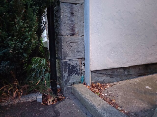
The plantation is also of historical significance. It is believed to have been part of the larger estate owned by the Durham Priory in medieval times. Today, remnants of old boundary walls and earthworks can still be seen, providing glimpses into the area's past.
Overall, Black Plantation, Durham (Wood, Forest) is a captivating destination that combines natural beauty, tranquility, and a touch of history. It offers a serene escape from the bustle of city life and is a cherished gem for both locals and tourists alike.
If you have any feedback on the listing, please let us know in the comments section below.
Black Plantation Images
Images are sourced within 2km of 54.708903/-1.6158766 or Grid Reference NZ2434. Thanks to Geograph Open Source API. All images are credited.


Black Plantation is located at Grid Ref: NZ2434 (Lat: 54.708903, Lng: -1.6158766)
Unitary Authority: County Durham
Police Authority: Durham
What 3 Words
///sliding.glimmers.flushed. Near Spennymoor, Co. Durham
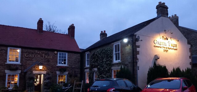
Nearby Locations
Related Wikis

Tudhoe Grange
Tudhoe Grange is a suburb of Spennymoor, in County Durham, in England. Originally it was just a couple of farms on the edge of Tudhoe township, swallowed...

Whitworth Hall, County Durham
Whitworth Hall which stands in Whitworth Hall Country Park, near Spennymoor, County Durham England, is a country house, formerly the home of the Shafto...
Spennymoor Town F.C.
Spennymoor Town Football Club is a football club based in Spennymoor, County Durham, in the North East of England. They currently compete in the National...
Whitworth Hall Country Park
Whitworth Hall Country Park is a parkland based set in 73 acres (300,000 m2) 8 miles (13 km) from Durham in England, which rests on the outskirts of the...
Whitworth, County Durham
Whitworth was a civil parish in County Durham, in England, centred on Whitworth Hall. It was one of several parishes abolished in 1937 to create the parish...
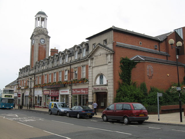
Spennymoor Town Hall
Spennymoor Town Hall is a municipal building in Spennymoor, County Durham, England. The town hall is the meeting place of Spennymoor Town Council. ��2...
Spennymoor railway station
Spennymoor railway station served the town of Spennymoor, County Durham, England from 1845 to 1952 on the Byers Green Branch of the Clarence Railway....
Whitworth Park Academy
Whitworth Park Academy is a co-educational secondary school located in Spennymoor, County Durham, England. == History == The school was formerly known...
Nearby Amenities
Located within 500m of 54.708903,-1.6158766Have you been to Black Plantation?
Leave your review of Black Plantation below (or comments, questions and feedback).