Agden Wood
Wood, Forest in Yorkshire
England
Agden Wood
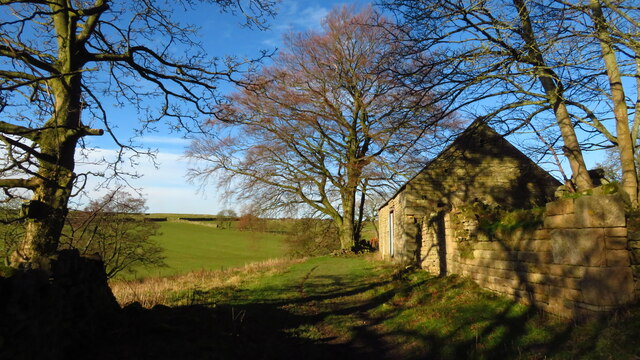
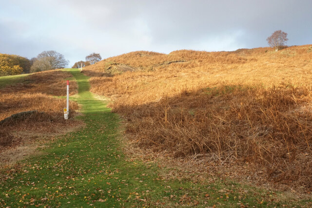
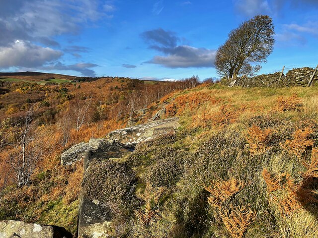
Agden Wood is a picturesque woodland located in Yorkshire, England. Covering an area of approximately 250 acres, it is a stunning example of a mixed broadleaf forest. The wood is situated near the village of High Bradfield, offering a tranquil retreat from the bustling city life.
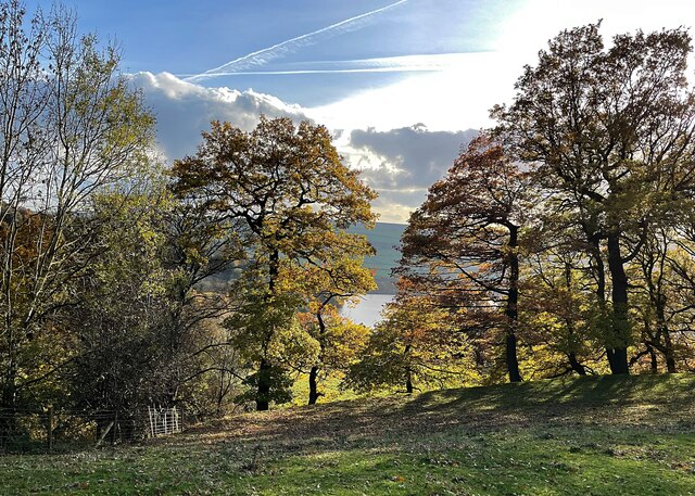
Agden Wood is renowned for its diverse range of tree species, including oak, beech, ash, and birch, creating a beautiful tapestry of colors throughout the year. The forest floor is carpeted with a variety of wildflowers, such as bluebells and primroses, adding to its natural charm.
The wood is a haven for wildlife enthusiasts, as it is home to a wide array of animals. Visitors may catch a glimpse of red deer, badgers, foxes, and numerous species of birds, including woodpeckers and owls. The wood's peaceful atmosphere makes it an ideal spot for birdwatching and nature photography.
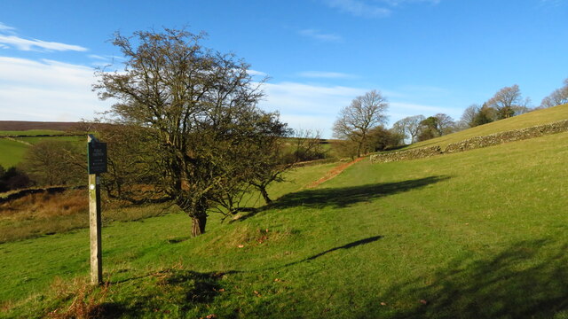
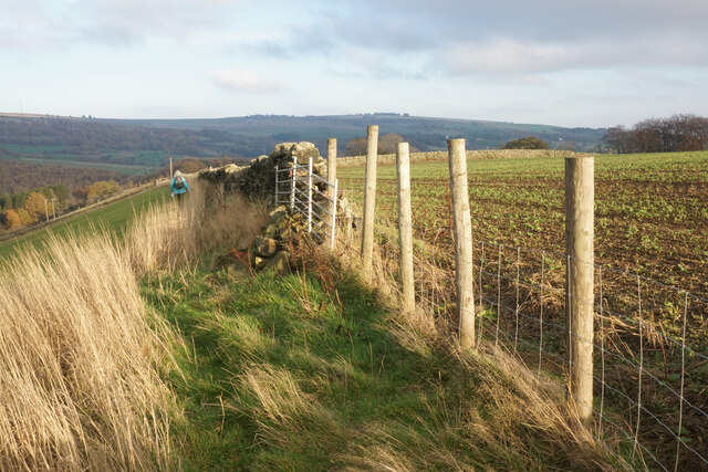
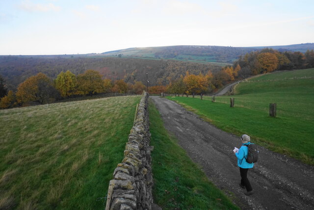
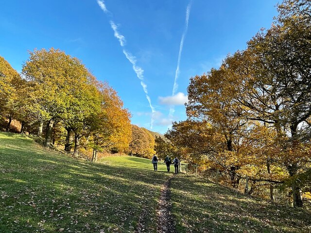
Several well-maintained trails wind through Agden Wood, offering visitors the opportunity to explore its enchanting beauty. These paths cater to both casual walkers and more adventurous hikers, providing options for various fitness levels. Along the way, benches are strategically placed, allowing visitors to rest and take in the scenic views.
Agden Wood is a popular destination for outdoor activities, such as picnicking and horse riding. The wood also hosts educational programs and guided walks, providing an opportunity for visitors to learn about the forest's ecology and conservation efforts.
Whether one seeks a peaceful stroll among nature or an immersive wildlife experience, Agden Wood offers a delightful escape into the heart of Yorkshire's natural beauty.
If you have any feedback on the listing, please let us know in the comments section below.
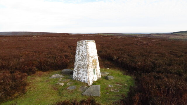
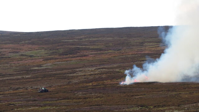
Agden Wood Images
Images are sourced within 2km of 53.439459/-1.6276377 or Grid Reference SK2493. Thanks to Geograph Open Source API. All images are credited.


Agden Wood is located at Grid Ref: SK2493 (Lat: 53.439459, Lng: -1.6276377)
Division: West Riding
Unitary Authority: Sheffield
Police Authority: South Yorkshire
What 3 Words
///ankle.encodes.bagpipes. Near Bradfield, South Yorkshire
Nearby Locations
Related Wikis
Canyards Hills
Canyards Hills (grid reference SK250950) is a 64.1 hectare (158.4 acre) biological and geological site of Special Scientific Interest in South Yorkshire...

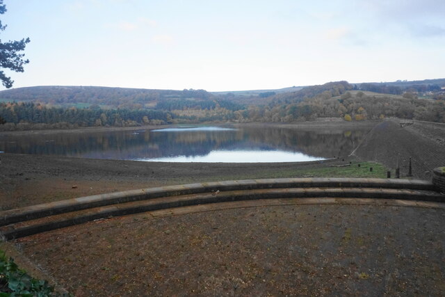
Agden Reservoir
Agden Reservoir is a water storage reservoir, situated at grid reference SK260925, 6.5 miles (10 km) west of the centre of Sheffield, South Yorkshire,...
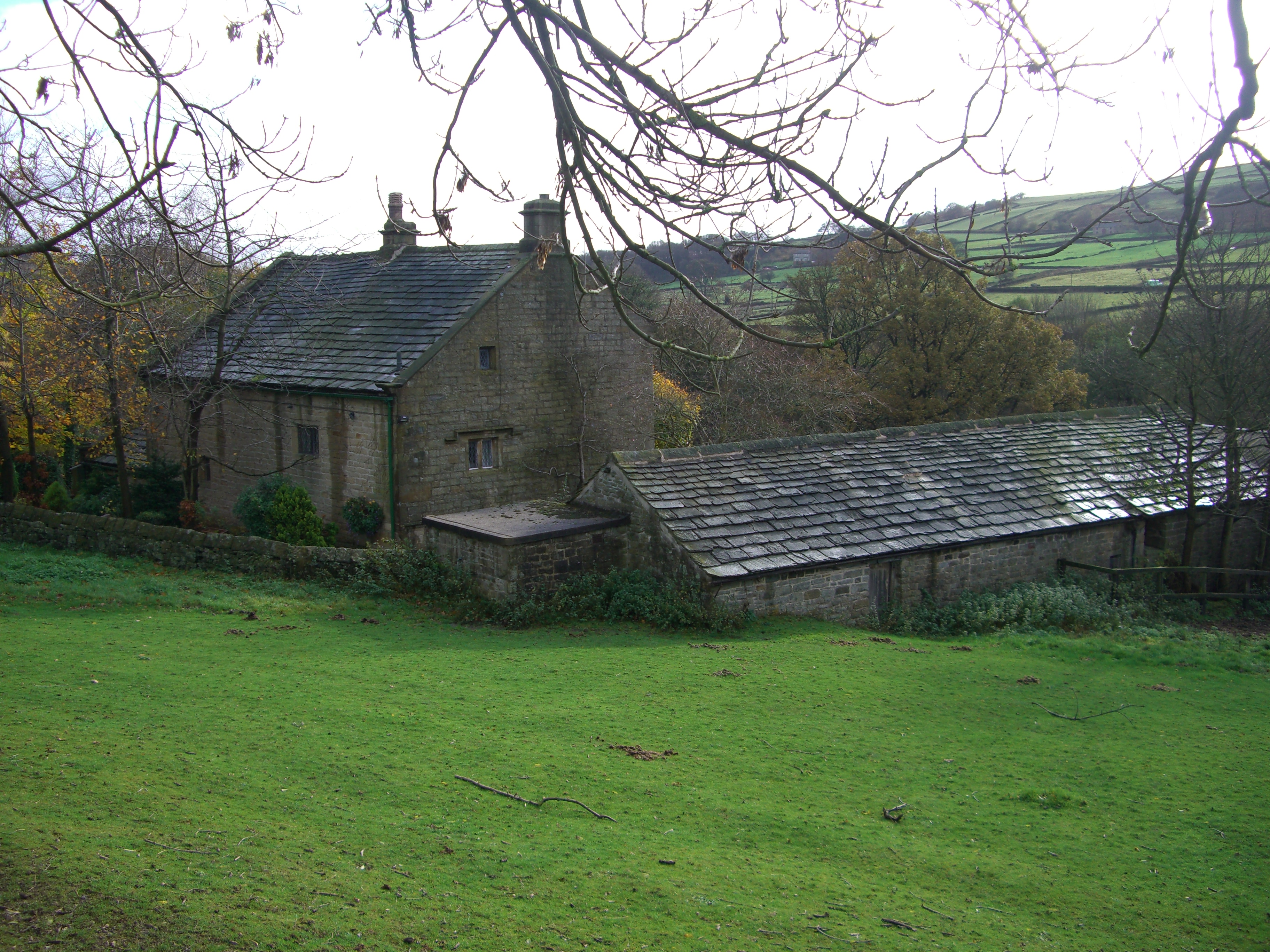
Fair House Farmhouse
Fair House Farmhouse is a 17th-century building situated on Annet Lane in the village of Low Bradfield within the boundary of the City of Sheffield in...
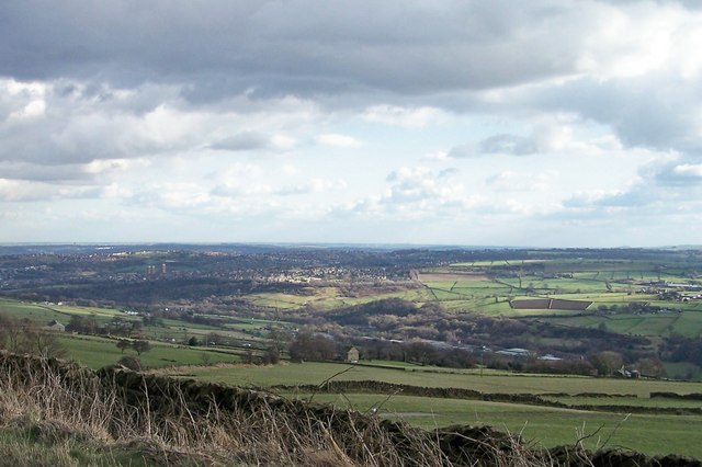
Bradfield, South Yorkshire
Bradfield is a civil parish in the City of Sheffield, in South Yorkshire, England. The civil parish is extensive, the western half is situated in the moorlands...
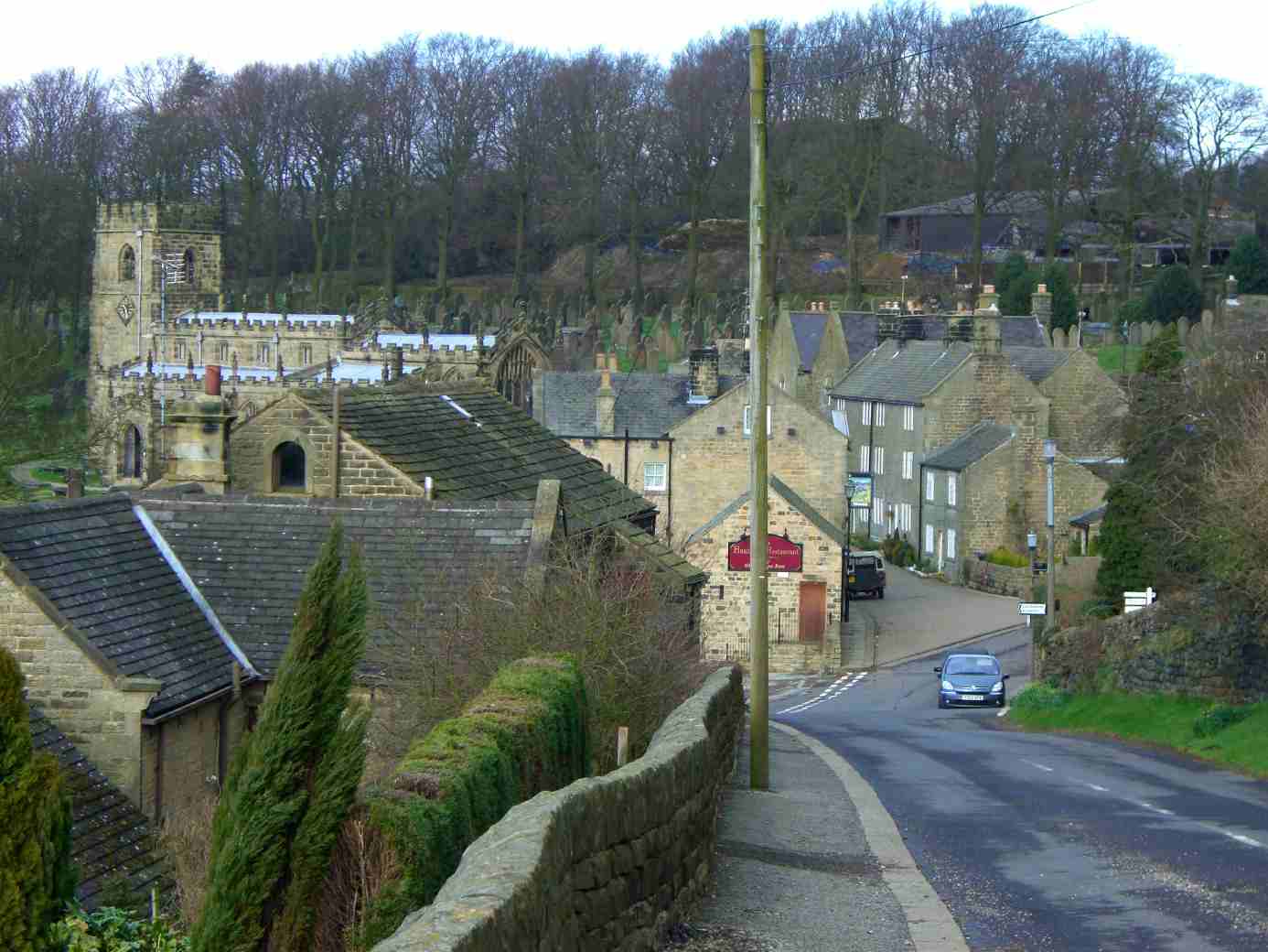
High Bradfield
High Bradfield is a rural village 6.5 miles (10 km) north-west of the centre of Sheffield in South Yorkshire, England and within the city's boundaries...
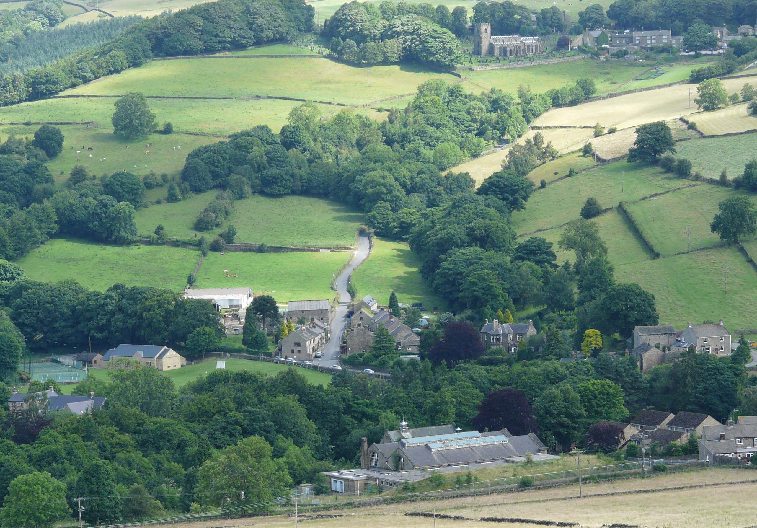
Low Bradfield
Low Bradfield is a village within the civil parish of Bradfield in South Yorkshire, England. It is situated within the boundary of the city of Sheffield...
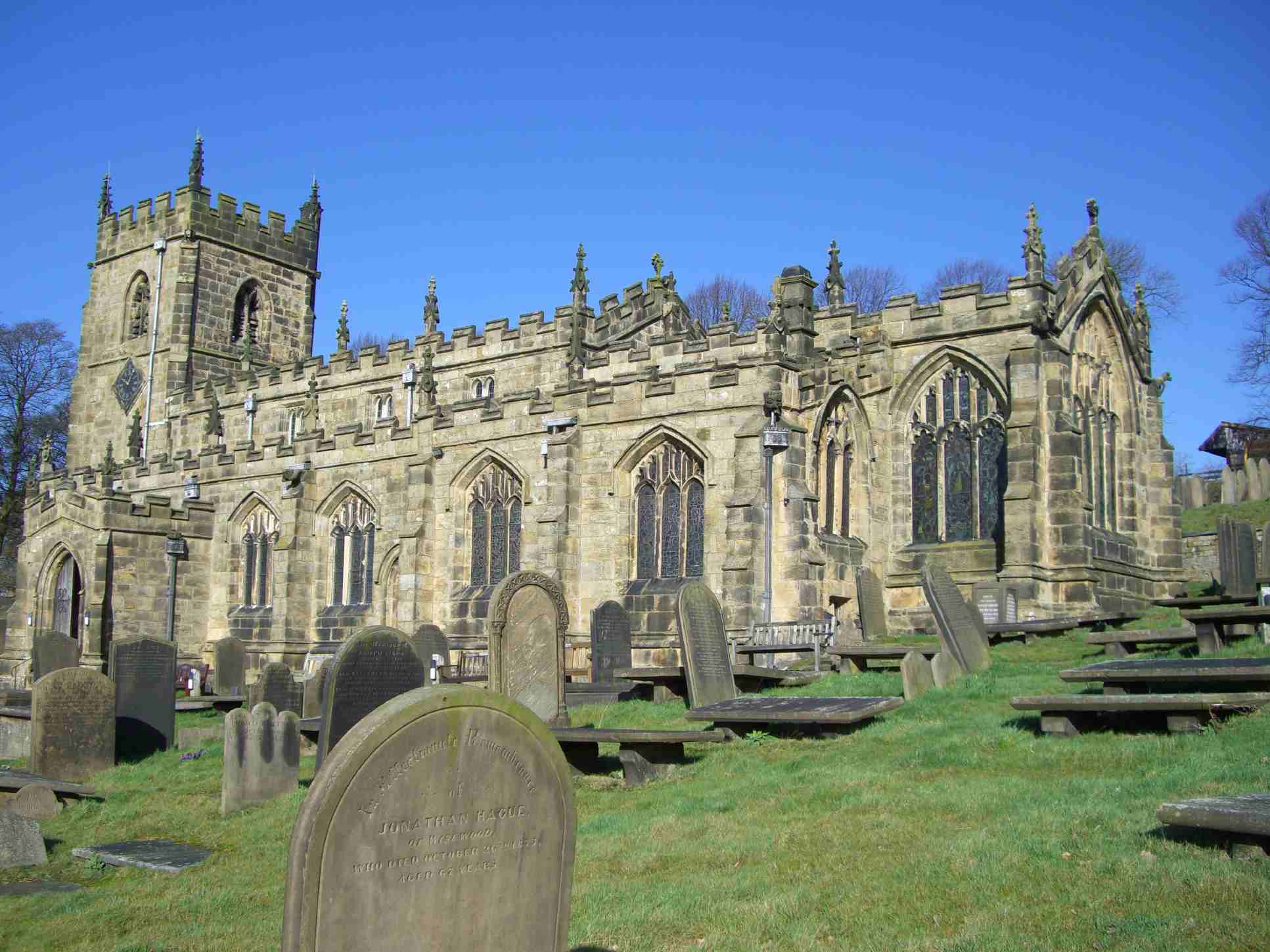
Church of St Nicholas, Bradfield
The Church of St. Nicholas, Bradfield is situated in the small village of High Bradfield, (Grid Reference SK268924) which is located 6 miles (10 km) north...

Broomhead Hall
Broomhead Hall was a large English country house that stood in the Ewden valley, to the west of Sheffield, England. The hall stood near the hamlet of Wigtwizzle...
Nearby Amenities
Located within 500m of 53.439459,-1.6276377Have you been to Agden Wood?
Leave your review of Agden Wood below (or comments, questions and feedback).