New Berryfield Copse
Wood, Forest in Wiltshire
England
New Berryfield Copse

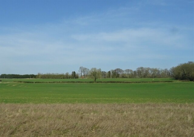
New Berryfield Copse, located in Wiltshire, England, is a picturesque woodland area that spans over several hectares. This ancient woodland is known for its diverse range of flora and fauna, making it a popular destination for nature lovers and wildlife enthusiasts alike.
The copse is predominantly made up of mature deciduous trees, including oak, beech, and ash, which create a dense and vibrant canopy during the summer months. The forest floor is covered with a rich carpet of wildflowers, such as bluebells and primroses, which add a splash of color to the landscape.
The copse is intersected by a network of well-maintained footpaths, allowing visitors to explore the area and immerse themselves in its natural beauty. These paths wind through the woodland, leading to secluded clearings and tranquil streams, offering a peaceful and serene atmosphere for walkers and hikers.
New Berryfield Copse is also home to a variety of wildlife species. Birdwatchers can spot a range of bird species, including woodpeckers, thrushes, and owls, while animal enthusiasts may encounter deer, squirrels, and badgers. The copse provides a vital habitat for these creatures, offering a safe haven away from human activity.
The copse is open to the public throughout the year, welcoming visitors to enjoy its natural splendor. Whether it's a leisurely stroll, a family picnic, or wildlife spotting, New Berryfield Copse offers a rejuvenating and immersive experience in the heart of Wiltshire's countryside.
If you have any feedback on the listing, please let us know in the comments section below.
New Berryfield Copse Images
Images are sourced within 2km of 51.052314/-1.649299 or Grid Reference SU2428. Thanks to Geograph Open Source API. All images are credited.


New Berryfield Copse is located at Grid Ref: SU2428 (Lat: 51.052314, Lng: -1.649299)
Unitary Authority: Wiltshire
Police Authority: Wiltshire
What 3 Words
///honey.ample.relishing. Near East Dean, Hampshire
Nearby Locations
Related Wikis
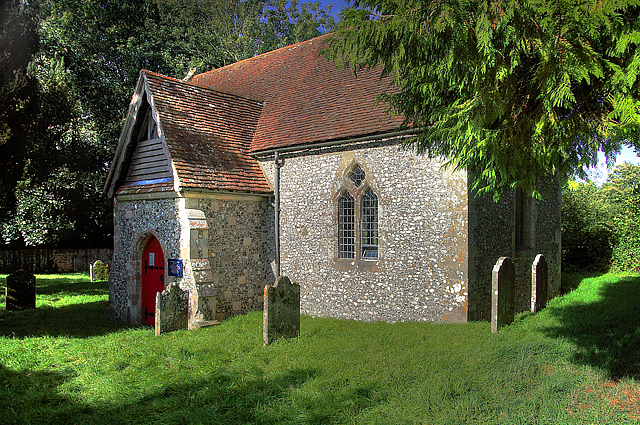
Borbach Chantry
Borbach Chantry, West Dean, in south-east Wiltshire, England, was built in 1333. It is recorded in the National Heritage List for England as a Grade I...
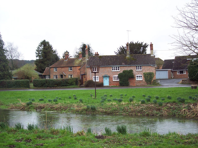
West Dean, Wiltshire
West Dean is a village and civil parish in southeast Wiltshire, England; the Wiltshire/Hampshire border runs through the eastern part of the village. The...
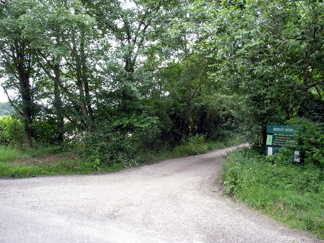
Bentley Wood
Bentley Wood (grid reference SU250295), together with the adjacent Blackmoor Copse, form one of the largest contiguous areas of woodland in Wiltshire,...
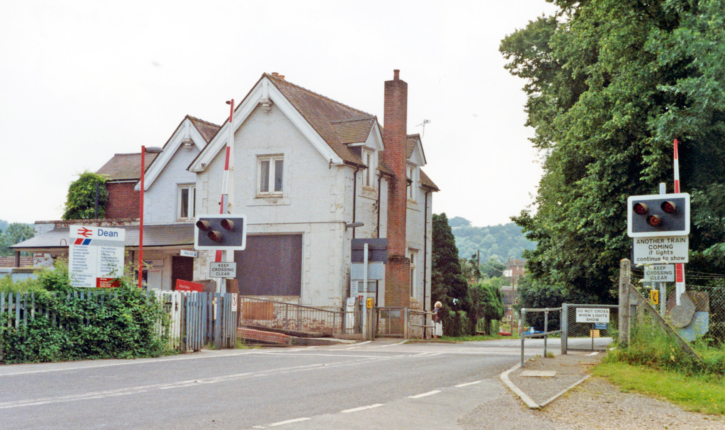
Dean railway station
Dean railway station, also shown as Dean (Wilts), serves the village of West Dean in Wiltshire, England. The station is on the Wessex Main Line, 88 miles...

Blackmoor Copse
Blackmoor Copse (grid reference SU234292) is a woodland in southeast Wiltshire, England, managed as a nature reserve by the Wiltshire Wildlife Trust. The...
East Grimstead
East Grimstead is a village in the civil parish of Grimstead, on the River Dun in Wiltshire, England, about 5 miles (8.0 km) east of Salisbury. The village...

River Dun (River Test)
The River Dun is a tributary of the River Test in southern England, which flows for 18.3 km (11.4 miles) in a generally easterly direction through rural...

Brickworth Down and Dean Hill
Brickworth Down and Dean Hill (grid reference SU246259) is a 118.6 hectare biological Site of Special Scientific Interest in Wiltshire, notified in 1951...
Nearby Amenities
Located within 500m of 51.052314,-1.649299Have you been to New Berryfield Copse?
Leave your review of New Berryfield Copse below (or comments, questions and feedback).