Woollens Plantation

Wood, Forest in Derbyshire South Derbyshire

England

Woollens Plantation

Across a field of Barley to Coton-In-The-Elms
Across a field of Barley to Coton-In-The-Elms Credit: Mick Malpass

Woollens Plantation is a picturesque woodland area located in Derbyshire, England. Situated in the heart of the county, this enchanting plantation covers a vast area, boasting a rich variety of trees and wildlife.

The woodland is primarily composed of native species, including oak, beech, and birch trees, which create a stunning canopy overhead. The dense foliage provides a tranquil and peaceful atmosphere, making it an ideal destination for nature lovers and outdoor enthusiasts.

As visitors stroll along the well-maintained trails that wind through the plantation, they can marvel at the abundance of flora and fauna. Bluebells, foxgloves, and wild orchids dot the forest floor, creating a vibrant tapestry of colors during the spring and summer months. The plantation is also home to a diverse range of wildlife, including deer, foxes, and a variety of bird species, adding to the natural beauty of the area.

Woollens Plantation offers visitors a chance to immerse themselves in nature and escape the hustle and bustle of everyday life. The plantation is well-equipped with picnic areas and benches, allowing visitors to relax and enjoy the serenity of their surroundings. Additionally, the trails are suitable for all ages and abilities, making it an accessible destination for families and individuals alike.

Overall, Woollens Plantation is a hidden gem in Derbyshire, offering a tranquil retreat for those seeking solace in nature. Its breathtaking vistas, diverse wildlife, and serene ambiance make it a must-visit destination for anyone exploring the region.

If you have any feedback on the listing, please let us know in the comments section below.

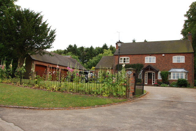
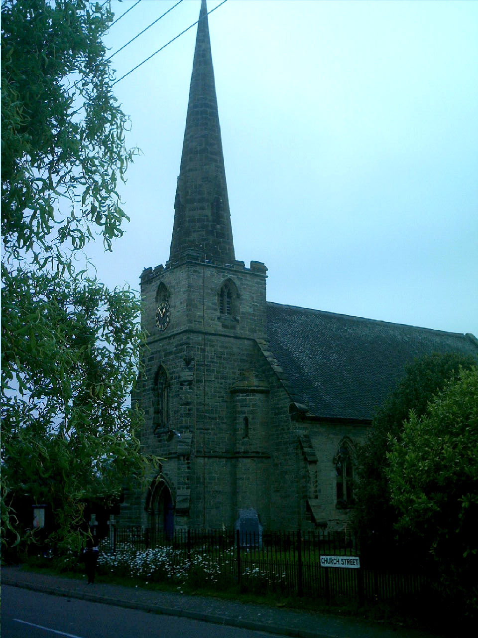
Woollens Plantation Images

Images are sourced within 2km of 52.713537/-1.6368786 or Grid Reference SK2412. Thanks to Geograph Open Source API. All images are credited.

Across a field of Barley to Coton-In-The-Elms
A Paddock at the Crosses The Crosses is surrounded on three sides by young plantations of trees for the National Forest
A Paddock at the Crosses
The Crosses is surrounded on three sides by young plantations of trees for the National Forest
Entrance to Lady Leys Farm
The Limes, Lullington
The Colville Arms, Lullington
All Saints Church, Lullington The present church is dedicated to All Saints. The chancel, vestry, south aisle and north windows are all from 1861, the only old parts being the masonry of the nave, north wall and the diagonally buttressed west tower. The broach spire with its two tiers of dormer windows was rebuilt in 1776. 
It is difficult to know where to photograph this church from, as it sits on the junction of two squares on the O.S. Maps.
All Saints Church, Lullington
The present church is dedicated to All Saints. The chancel, vestry, south aisle and north windows are all from 1861, the only old parts being the masonry of the nave, north wall and the diagonally buttressed west tower. The broach spire with its two tiers of dormer windows was rebuilt in 1776. It is difficult to know where to photograph this church from, as it sits on the junction of two squares on the O.S. Maps.
Entrance to Bald Hill's Farm, Lullington
The Road to Clifton Campville from Lullington
Home Farm, on road leaving Lullington
All Saints Church, Lullington The other end of the Church is in square SK2512 according to the GPS.
All Saints Church, Lullington
The other end of the Church is in square SK2512 according to the GPS.
Gateway to Westbrook on crossroads Westbrook Farm is up the road to the right.
Gateway to Westbrook on crossroads
Westbrook Farm is up the road to the right.
Encroaching Shower over Coton Wood The sunlight over this grassy strip is about to be blotted out by a heavy shower moving in from the north.
Encroaching Shower over Coton Wood
The sunlight over this grassy strip is about to be blotted out by a heavy shower moving in from the north.
Decaying Tree Trunk near Westbrook Farm This old trunk lies near a crossroads close to Westbrook Farm, the white entrance gate of which can just be seen on the left. The spire of Lullington church can also be deciphered on the horizon.
Decaying Tree Trunk near Westbrook Farm
This old trunk lies near a crossroads close to Westbrook Farm, the white entrance gate of which can just be seen on the left. The spire of Lullington church can also be deciphered on the horizon.
Farmland near Haunton
Farm track heading north near Haunton
River Mease near Clifton Campville
Minor road towards Lullington Heading north.
Minor road towards Lullington
Heading north.
Farmland near Mill Farm Bald Hill's Farm in the distance.
Farmland near Mill Farm
Bald Hill's Farm in the distance.
Show me another place!

Woollens Plantation is located at Grid Ref: SK2412 (Lat: 52.713537, Lng: -1.6368786)

Administrative County: Derbyshire

District: South Derbyshire

Police Authority: Derbyshire

What 3 Words

///twist.majoring.slopes. Near Donisthorpe, Leicestershire

Related Wikis

All Saints' Church, Lullington

All Saints’ Church, Lullington is a Grade II* listed parish church in the Church of England in Lullington, Derbyshire. == History == The church dates...

Lullington, Derbyshire

Lullington is a village and civil parish in the district of South Derbyshire in Derbyshire, England. The population of the civil parish at the 2011 Census...

Coton in the Elms

Coton in the Elms is a village and parish in the English county of Derbyshire. At 70 miles (110 km) from the coast, it is one of the furthest places in...

Clifton Campville

Clifton Campville is a village, former manor and civil parish in Staffordshire, England. It lies on the River Mease, about 10 miles (16 km) east of the...

Nearby Amenities

Located within 500m of 52.713537,-1.6368786
Lullington
Is In Country: UK
Is In County: Derbyshire
Place: village
Lat/Long: 52.7138649/-1.6310345
Post Box
Note: royal cypher does appear to be just ER
Operator: Royal Mail
Post Box Design: ludlow
Post Box Type: wall
Ref: DE12 1118
Royal Cypher: ER
Lat/Long: 52.7141333/-1.6311228
Power: tower
Source: Bing
Lat/Long: 52.7115667/-1.6420619
Power: tower
Source: Bing
Lat/Long: 52.713983/-1.6423849
Barrier: entrance
Fixme: Needs survey. Looks to be a gap in hedge on Bing
Source: survey;gps
Lat/Long: 52.7169272/-1.6320868
Barrier: stile
Material: wood
Source: survey;gps
Stile: stepover
Lat/Long: 52.7155172/-1.6318653
Defibrillator
Access: yes
Defibrillator Location: inside Old red Telephone Box in Lullington - near church
Emergency: defibrillator
Indoor: yes
Opening Hours: 24/7
Ref GB The Circuit: A93BC4C2-B234-4D3B-9075-B028008F3671
Lat/Long: 52.7139212/-1.6309921
Bus Stop
Public Transport: platform
Shelter: yes
Lat/Long: 52.7140676/-1.6312354
Information: guidepost
Tourism: information
Lat/Long: 52.7134338/-1.6311751
Waste Basket
Colour: yellow
Material: plastic
Operator: South Derbyshire District Council
Waste: trash
Lat/Long: 52.714082/-1.6312385
The data included in this document is from www.openstreetmap.org. The data is made available under ODbL.

Have you been to Woollens Plantation?

Leave your review of Woollens Plantation below (or comments, questions and feedback).