Stubbs Wood

Wood, Forest in Warwickshire Warwick

England

Stubbs Wood

Bridge at Hatton Locks Over the Grand Union Canal.
Bridge at Hatton Locks Credit: David Howard

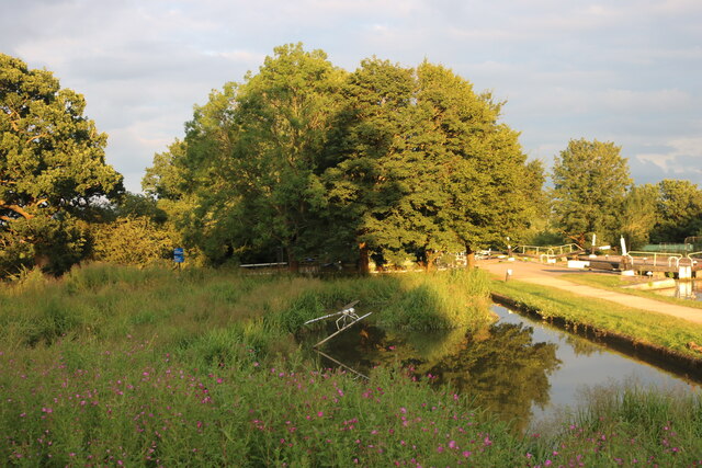
Stubbs Wood is a small woodland area located in Warwickshire, England. Covering an area of approximately 50 acres, it is a popular destination for nature lovers and outdoor enthusiasts alike. The wood is situated on the outskirts of the village of Stubbs, surrounded by picturesque countryside.

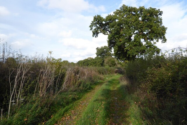
The wood is primarily composed of broadleaf trees, such as oak, ash, and beech, which provide a diverse habitat for a wide range of flora and fauna. The dense canopy created by these trees offers shelter and protection for numerous bird species, including woodpeckers, owls, and songbirds.

Visitors to Stubbs Wood can enjoy a variety of recreational activities, including walking, hiking, and birdwatching. There are well-maintained trails that wind through the wood, allowing visitors to explore its natural beauty at their own pace. These trails are suitable for all levels of fitness and offer stunning views of the surrounding countryside.

In addition to its natural beauty, Stubbs Wood is also of historical importance. It is believed to have been in existence since medieval times and was once part of a larger forest that covered much of the area. Today, remnants of this ancient forest can still be seen, adding to the wood's charm and historical significance.

Overall, Stubbs Wood is a peaceful and idyllic woodland area, offering visitors the opportunity to connect with nature and immerse themselves in its beauty. Whether it's for a leisurely stroll or a more adventurous hike, this wood provides a tranquil escape from the hustle and bustle of everyday life.

If you have any feedback on the listing, please let us know in the comments section below.
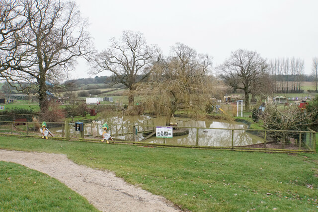
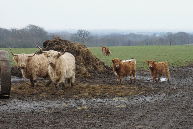
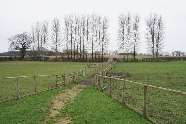
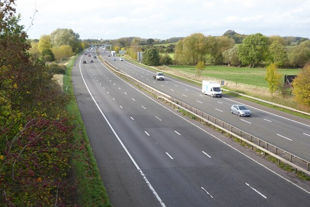
Stubbs Wood Images

Images are sourced within 2km of 52.282356/-1.6414663 or Grid Reference SP2464. Thanks to Geograph Open Source API. All images are credited.

Bridge at Hatton Locks Over the Grand Union Canal.
Bridge at Hatton Locks
Over the Grand Union Canal.
Pond by Hatton Locks The locks can be seen on the right
Pond by Hatton Locks
The locks can be seen on the right
House by Hatton Locks Possibly the lock keepers cottage
House by Hatton Locks
Possibly the lock keepers cottage
Brownley Green, Hatton
Canal bridge
Canal bridge
Shell petrol forecourt on Birmingham Road, Hatton
Hatton locks - looking down the flight Looking down part of the flight of Hatton locks with the tower of St Mary's, Warwick directly ahead. See <a href="https://www.geograph.org.uk/photo/7006505">SP2466 : Hatton locks - looking up the flight</a> for the view up the flight.
Hatton locks - looking down the flight
Looking down part of the flight of Hatton locks with the tower of St Mary's, Warwick directly ahead. See SP2466 : Hatton locks - looking up the flight for the view up the flight.
Hatton locks - looking up the flight Looking up part of the flight of Hatton Locks. See <a href="https://www.geograph.org.uk/photo/7006504">SP2466 : Hatton locks - looking down the flight</a> for the view down the flight.
Hatton locks - looking up the flight
Looking up part of the flight of Hatton Locks. See SP2466 : Hatton locks - looking down the flight for the view down the flight.
Hatton locks - Canalside buildings and lock The buildings on the far side of this lock - one of the 21 locks that make up the Hatton flight - were almost certainly originally associated with the canal itself, but on modern maps are simply described as a 'depot'.
See shared description below.
Hatton locks - Canalside buildings and lock
The buildings on the far side of this lock - one of the 21 locks that make up the Hatton flight - were almost certainly originally associated with the canal itself, but on modern maps are simply described as a 'depot'. See shared description below.
Hatton locks - Middle Lock and side channel This photo was taken from under the 'Middle Lock Lane' bridge over the Grand Union Canal at Hatton, so presumably the lock seen on the left here is the middle (11th) of the flight of 21. To the lock's right, and nearer the camera, is the weir-like side channel. Water rushes over this man-made waterfall when excess water enters the pound above it, but the flow generally lasts only a few moments - a minute or two at most.
See shared descriptions below.
Hatton locks - Middle Lock and side channel
This photo was taken from under the 'Middle Lock Lane' bridge over the Grand Union Canal at Hatton, so presumably the lock seen on the left here is the middle (11th) of the flight of 21. To the lock's right, and nearer the camera, is the weir-like side channel. Water rushes over this man-made waterfall when excess water enters the pound above it, but the flow generally lasts only a few moments - a minute or two at most. See shared descriptions below.
Hatton Locks Café
Hatton Locks Café
Hatton Locks The flight consists of 21 locks.  They were built in 1799 as part of the Warwick & Birmingham canal which became part of the Grand Union in 1927.

The flight has a total rise of 148 feet (45m) over a length of a little under 2 miles (3.2km) and is notable for its weir-like side channels.  Large pounds associated with each lock ensure a good supply of water.

The locks are all double width (14 feet / 4.3m) allowing two standard narrowboats to pass through side by side, or they can accommodate double-width barges and industrial boats.
Hatton Locks
The flight consists of 21 locks. They were built in 1799 as part of the Warwick & Birmingham canal which became part of the Grand Union in 1927. The flight has a total rise of 148 feet (45m) over a length of a little under 2 miles (3.2km) and is notable for its weir-like side channels. Large pounds associated with each lock ensure a good supply of water. The locks are all double width (14 feet / 4.3m) allowing two standard narrowboats to pass through side by side, or they can accommodate double-width barges and industrial boats.
Hatton Country World Primarily an open farm with other family activities, including a shopping village at the entrance.
Hatton Country World
Primarily an open farm with other family activities, including a shopping village at the entrance.
Duck pond in Hatton Country World Part of the open farm. The ducks are all absent on this winter day.
Duck pond in Hatton Country World
Part of the open farm. The ducks are all absent on this winter day.
Longhorn cattle at Hatton Country World Peacefully sharing their field with donkeys and horses on a dank winter day.
Longhorn cattle at Hatton Country World
Peacefully sharing their field with donkeys and horses on a dank winter day.
Track in Hatton Country World The fields are in winter dormancy.
Track in Hatton Country World
The fields are in winter dormancy.
The M40 motorway The M40 motorway viewed from a motorway bridge carrying the B4463.
The M40 motorway
The M40 motorway viewed from a motorway bridge carrying the B4463.
Route with Public Access A Route with Public Access follows this track near Hampton Lodge, south of Hampton on the Hill.
Route with Public Access
A Route with Public Access follows this track near Hampton Lodge, south of Hampton on the Hill.
Show me another place!

Stubbs Wood is located at Grid Ref: SP2464 (Lat: 52.282356, Lng: -1.6414663)

Administrative County: Warwickshire

District: Warwick

Police Authority: Warwickshire

What 3 Words

///outlined.booms.crimson. Near Hatton, Warwickshire

Nearby Locations

Stubbs Wood

Related Wikis

Nearby Amenities

Located within 500m of 52.282356,-1.6414663
Barrier: cattle_grid
Lat/Long: 52.2810304/-1.6450323
The data included in this document is from www.openstreetmap.org. The data is made available under ODbL.

Have you been to Stubbs Wood?

Leave your review of Stubbs Wood below (or comments, questions and feedback).