Brook Plantation

Wood, Forest in Derbyshire Derbyshire Dales

England

Brook Plantation

Hulland Village Ford This ford is found on the Hulland Hollow Brook.
Hulland Village Ford Credit: John Walton

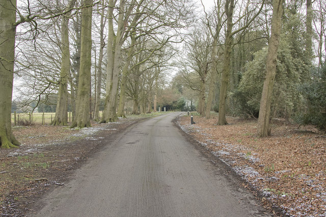
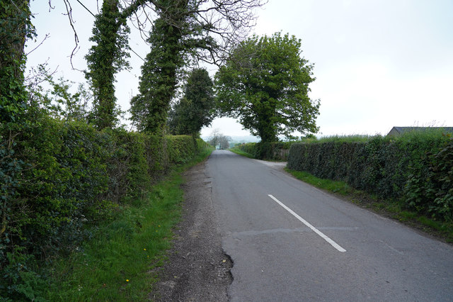
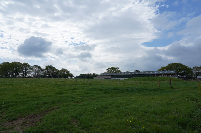
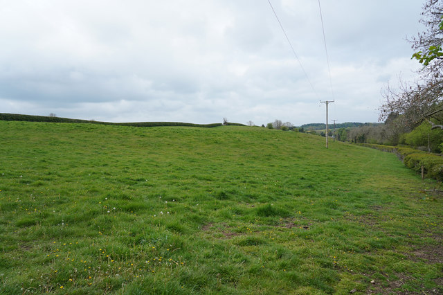
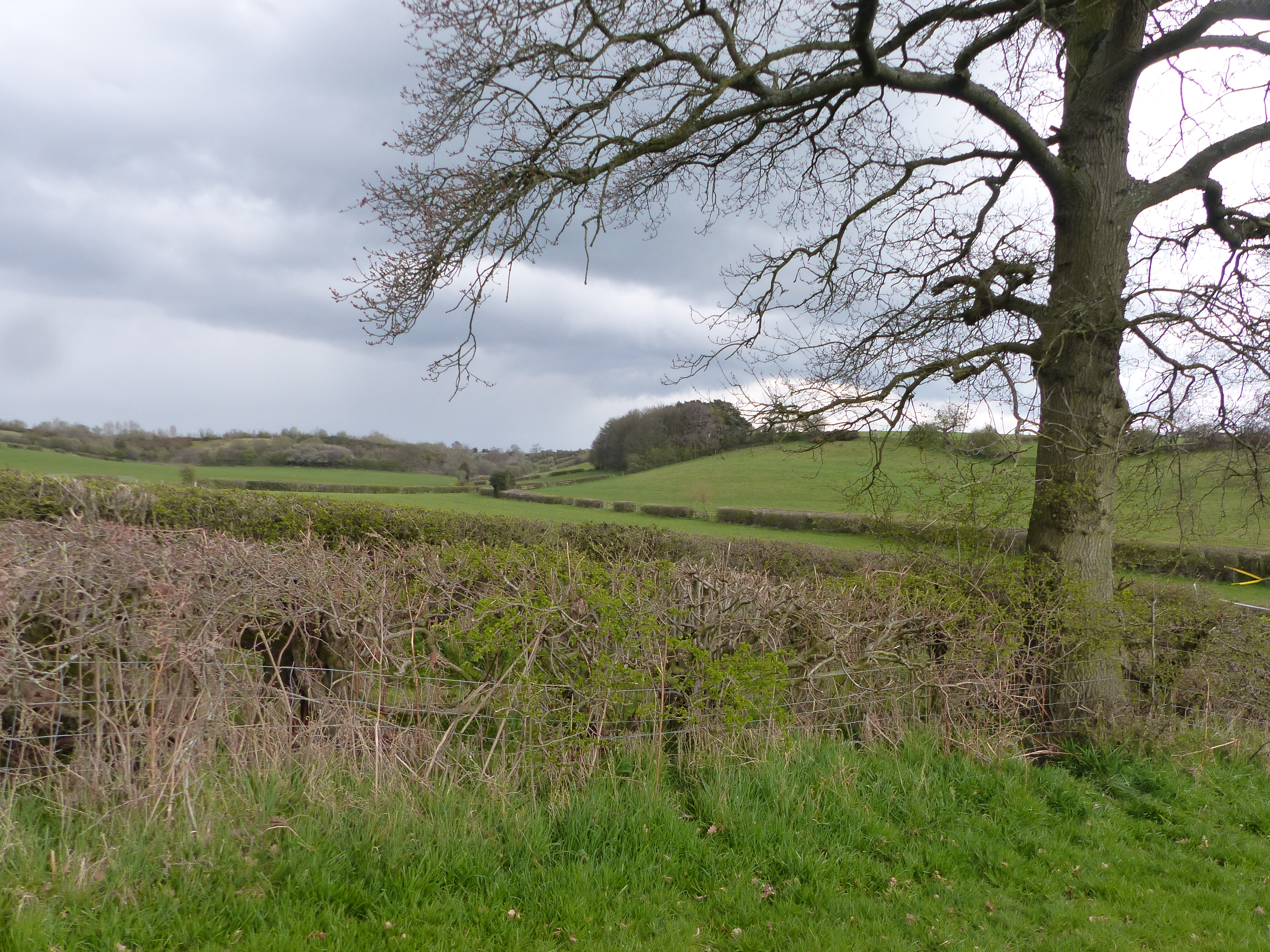
Brook Plantation is a charming woodland area located in Derbyshire, England. Situated in the heart of the county, this plantation is a haven for nature enthusiasts and those seeking tranquility amidst the beauty of the English countryside. Covering a vast expanse of land, the plantation is predominantly made up of dense woodlands and lush forests.

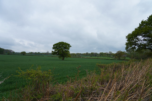
The plantation is home to a diverse range of flora and fauna, making it a perfect destination for wildlife enthusiasts. Visitors can expect to encounter a variety of native trees, including oak, birch, and beech, which provide a stunning canopy of greenery throughout the year. The forest floor is adorned with a plethora of wildflowers, creating a vibrant and picturesque setting.

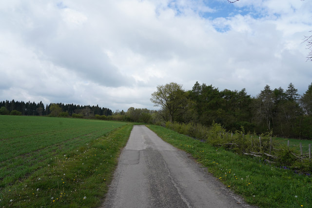
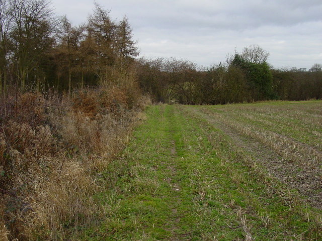
A network of well-maintained trails winds its way through the plantation, allowing visitors to explore the natural beauty at their own pace. The pathways meander through the woodland, leading to hidden nooks and crannies where one can sit and enjoy the tranquility of the surroundings. Along the way, there are also several picnic spots and benches, providing an ideal opportunity to rest and soak in the peaceful atmosphere.

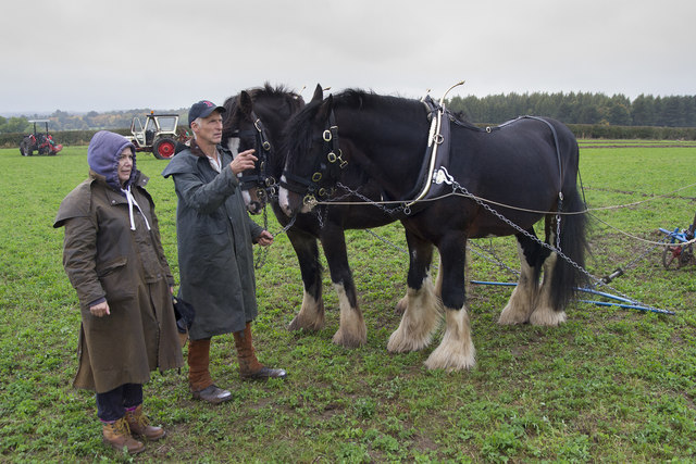
Brook Plantation is also home to a diverse range of wildlife. Birdwatchers will delight in the numerous species that inhabit the area, including woodpeckers, owls, and various songbirds. The plantation is also home to small mammals such as squirrels and rabbits, which can often be spotted darting through the undergrowth.

Overall, Brook Plantation offers a serene and captivating experience for nature lovers and outdoor enthusiasts alike. Its picturesque woodlands, diverse wildlife, and well-maintained trails make it a truly enchanting destination in Derbyshire.

If you have any feedback on the listing, please let us know in the comments section below.

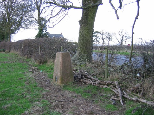
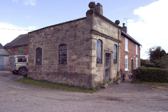
Brook Plantation Images

Images are sourced within 2km of 52.99236/-1.6362741 or Grid Reference SK2443. Thanks to Geograph Open Source API. All images are credited.

Hulland Village Ford This ford is found on the Hulland Hollow Brook.
Hulland Village Ford
This ford is found on the Hulland Hollow Brook.
Brailsford Ploughing Match This ploughing match and country fair has been going for many years. though called the Brailsford match it actually takes place at different farms around the area and is often a long way from the village of Brailsford.  This year however it was very close to Brailsford.
Brailsford Ploughing Match
This ploughing match and country fair has been going for many years. though called the Brailsford match it actually takes place at different farms around the area and is often a long way from the village of Brailsford. This year however it was very close to Brailsford.
Looking towards St. Mary's Nursing home This is the tree lined drive to St. Mary's Nursing Home. It is a quiet and peaceful place.
Looking towards St. Mary's Nursing home
This is the tree lined drive to St. Mary's Nursing Home. It is a quiet and peaceful place.
Brailsford Mill Converted water mill at Brailsford, viewed across the mill pond.
Brailsford Mill
Converted water mill at Brailsford, viewed across the mill pond.
A lane by Fiddlers Folly Just outside the village of Brailsford is this minor road through the countryside which goes to nowhere inparticular.
A lane by Fiddlers Folly
Just outside the village of Brailsford is this minor road through the countryside which goes to nowhere inparticular.
The Knob This distant group of houses around the Y junction is called the Knob on the OS map.
The Knob
This distant group of houses around the Y junction is called the Knob on the OS map.
Across the fields Looking across the fields several Pheasant scurried for safety as soon as they saw me.
Across the fields
Looking across the fields several Pheasant scurried for safety as soon as they saw me.
Looking towards Spinneyford Brook The brook is well hidden being deeper in the valley. It has several small lakes, presumably artificial, made for fishing.
Looking towards Spinneyford Brook
The brook is well hidden being deeper in the valley. It has several small lakes, presumably artificial, made for fishing.
Grassy fields Looking from North Lane across a small field into a much larger one.
Grassy fields
Looking from North Lane across a small field into a much larger one.
A little shed In the corner of the field is this fairly dilapidated shed.
A little shed
In the corner of the field is this fairly dilapidated shed.
Distant farm buildings The farm buildings are being extended at the right hand end of the low building in the middle right of the image.
Distant farm buildings
The farm buildings are being extended at the right hand end of the low building in the middle right of the image.
The track to Bradley Oldpark South The good surface seen here soon deteriorates as it goes towards Bradley Oldpark South.
The track to Bradley Oldpark South
The good surface seen here soon deteriorates as it goes towards Bradley Oldpark South.
A public footpath Not a much used footpath judging from the lack of an obvious route under the low voltage electricity cables.
A public footpath
Not a much used footpath judging from the lack of an obvious route under the low voltage electricity cables.
Looking across the fields The fields are probably Cave Farm and the crop that is growing looks extremely healthy.
Looking across the fields
The fields are probably Cave Farm and the crop that is growing looks extremely healthy.
Trig pillar, Brailsford. Just outside the village under an ash tree. The hedges around here are home to quite a few ashes.
Trig pillar, Brailsford.
Just outside the village under an ash tree. The hedges around here are home to quite a few ashes.
Footpath north of North Farm House This footpath runs north passing North Farm house and Spinney Farm in the parish of Brailsford. View here looks north, just north of North Farm House.
Footpath north of North Farm House
This footpath runs north passing North Farm house and Spinney Farm in the parish of Brailsford. View here looks north, just north of North Farm House.
Bradley Park Farm North Picture taken looking west to Bradley Park Farm North from the path which crosses Spinneyford Brook in the parish of Bradley.
Bradley Park Farm North
Picture taken looking west to Bradley Park Farm North from the path which crosses Spinneyford Brook in the parish of Bradley.
Farmhouse at the end of the field Looking SSE from the path which runs between Bradley Park Farm North and Bradley village towards Bradley Oldpark.
Farmhouse at the end of the field
Looking SSE from the path which runs between Bradley Park Farm North and Bradley village towards Bradley Oldpark.
Show me another place!

Brook Plantation is located at Grid Ref: SK2443 (Lat: 52.99236, Lng: -1.6362741)

Administrative County: Derbyshire

District: Derbyshire Dales

Police Authority: Derbyshire

What 3 Words

///printouts.lime.miss. Near Ashbourne, Derbyshire

Related Wikis

Ednaston Manor

Ednaston Manor is a country house in Ednaston, near Brailsford, Derbyshire, England. It was built in 1912–19 in a Queen Anne style by Edwin Lutyens, for...

Mercaston

Mercaston is a hamlet in Derbyshire, England. It is located in the Peak District 7 miles west of Duffield. It is in the civil parish of Hulland Ward. In...

Brailsford

Brailsford (52°58′16″N 1°37′26″W) is a small red-brick village and civil parish in Derbyshire on the A52 midway between Derby and Ashbourne. The parish...

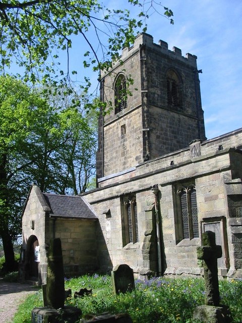
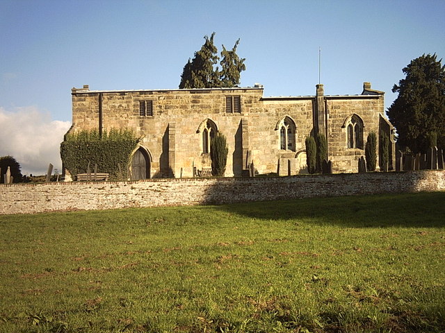
All Saints' Church, Brailsford

All Saints’ Church, Brailsford is a Grade I listed parish church in the Church of England in Brailsford, Derbyshire. == History == The church dates from...

Bradley, Derbyshire

Bradley is a village and civil parish in Derbyshire just east of Ashbourne. The population of the civil parish taken at the 2011 Census was 313. Other...

Ravensdale Park

Ravensdale Park is a civil parish in the Derbyshire Dales district of Derbyshire roughly 3 miles (5 km) WSW of Belper, Derbyshire, England, midway between...

Hulland

Hulland is a village and civil parish in the Derbyshire Dales district of Derbyshire, England, adjoining the A517 road. It had a population of 215 according...

Yeldersley

Yeldersley is a manor mentioned in the Domesday book. It is located near Ashbourne in Derbyshire. Today there is Yeldersley Hall. This hamlet had a population...

Nearby Amenities

Located within 500m of 52.99236,-1.6362741
Ele: 128.0000000
Lat/Long: 52.9949434/-1.634933
Barrier: stile
Ele: 128.0000000
Stile: squeezer
Lat/Long: 52.9949721/-1.6347518
Ele: 128.0000000
Lat/Long: 52.9949425/-1.6347217
Ele: 129.0000000
Lat/Long: 52.9949308/-1.6350587
Ele: 128.0000000
Lat/Long: 52.9949212/-1.6346199
Barrier: stile
Ele: 132.0000000
Steps: 2
Stile: stepover
Lat/Long: 52.9953708/-1.6362092
Ele: 128.0000000
Lat/Long: 52.9948666/-1.6344556
Ele: 130.0000000
Lat/Long: 52.9949289/-1.6340103
Ele: 142.0000000
Lat/Long: 52.9950631/-1.63215
Direction: SW
Generator Method: photovoltaic
Generator Output Electricity: yes
Generator Solar Modules: 30
Generator Source: solar
Generator Type: solar_photovoltaic_panel
Location: roof
Power: generator
Lat/Long: 52.9924955/-1.6418961
Direction: SW
Generator Method: photovoltaic
Generator Output Electricity: yes
Generator Solar Modules: 30
Generator Source: solar
Generator Type: solar_photovoltaic_panel
Location: roof
Power: generator
Lat/Long: 52.9924532/-1.6419438
The data included in this document is from www.openstreetmap.org. The data is made available under ODbL.

Have you been to Brook Plantation?

Leave your review of Brook Plantation below (or comments, questions and feedback).