Beckmoor Plantation

Wood, Forest in Yorkshire Richmondshire

England

Beckmoor Plantation

Power lines by the A1(M)
Power lines by the A1(M) Credit: Anthony Parkes

Beckmoor Plantation is a picturesque woodland located in Yorkshire, England. Spread across a sprawling area, it is renowned for its natural beauty and lush greenery. The plantation is nestled amidst the captivating landscape of Yorkshire, making it a popular destination for nature enthusiasts and tourists alike.

The woodland is predominantly composed of a variety of trees, including oak, beech, and birch, which create a diverse and vibrant ecosystem. The dense canopy formed by these trees provides a haven for numerous species of birds and small animals, making it a paradise for birdwatchers and wildlife enthusiasts.

Beckmoor Plantation offers an extensive network of well-maintained walking trails, allowing visitors to explore the woodland at their own pace. These trails wind through the enchanting forest and provide breathtaking views of the surrounding countryside. Additionally, the plantation offers designated picnic areas, where visitors can relax and enjoy a meal amidst the tranquility of their surroundings.

The plantation is also known for its rich history. It is believed to have been in existence for several centuries and has witnessed various historical events. Today, the site is maintained by a dedicated team of conservationists who work tirelessly to preserve its natural beauty and protect its inhabitants.

Overall, Beckmoor Plantation is a haven of natural beauty and tranquility in the heart of Yorkshire. Whether visitors are seeking a peaceful retreat into nature or an opportunity to explore the diverse wildlife, this woodland offers an unforgettable experience for all who venture into its depths.

If you have any feedback on the listing, please let us know in the comments section below.

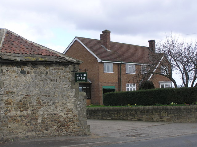
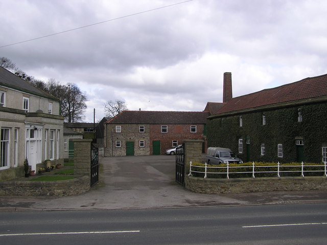
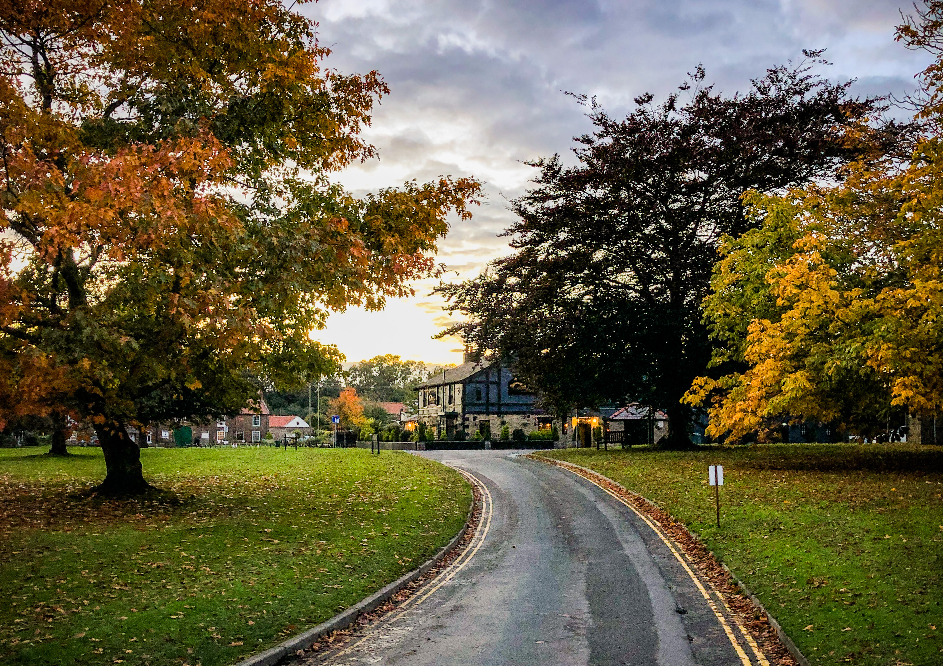
Beckmoor Plantation Images

Images are sourced within 2km of 54.489818/-1.6232112 or Grid Reference NZ2410. Thanks to Geograph Open Source API. All images are credited.

Power lines by the A1(M)
Jolby Lane near The Limes Looking in the direction of Jolby Manor. The sign to the right of the photograph is to warn of a sharp bend behind me.
Jolby Lane near The Limes
Looking in the direction of Jolby Manor. The sign to the right of the photograph is to warn of a sharp bend behind me.
Jolby Lane near Jolby Farm Looking in the direction of Jolby Farm.
Jolby Lane near Jolby Farm
Looking in the direction of Jolby Farm.
Clowbeck Farm
Clowbeck Farm
Woodland near the A66(M)
Old Milestone, Stapleton Bank, Barton Road The milestone is located opposite the northern end of the drive to Cleasby Grange, on the verge on the east side of the road. Parish of Stapleton (Richmondshire District). Cast iron post, Bedale HD iron casting design, erected by the Local Highways Board in the 19th/20th century. 

Inscription reads:-
{pointing hand} / RICHMOND / 9 / MILES : : RICHMOND / H.D : : {pointing hand} / DARLINGTON / 3 / MILES : : F MATTISON & Co / BEDALE

Grade II Listed, List Entry Number: 1179817 <span class="nowrap"><a title="https://historicengland.org.uk/listing/the-list/list-entry/1179817" rel="nofollow ugc noopener" href="https://historicengland.org.uk/listing/the-list/list-entry/1179817">Link</a><img style="margin-left:2px;" alt="External link" title="External link - shift click to open in new window" src="https://s1.geograph.org.uk/img/external.png" width="10" height="10"/></span>

Milestone Society National ID: YN_RCDL09
Old Milestone, Stapleton Bank, Barton Road
The milestone is located opposite the northern end of the drive to Cleasby Grange, on the verge on the east side of the road. Parish of Stapleton (Richmondshire District). Cast iron post, Bedale HD iron casting design, erected by the Local Highways Board in the 19th/20th century. Inscription reads:- {pointing hand} / RICHMOND / 9 / MILES : : RICHMOND / H.D : : {pointing hand} / DARLINGTON / 3 / MILES : : F MATTISON & Co / BEDALE Grade II Listed, List Entry Number: 1179817 LinkExternal link Milestone Society National ID: YN_RCDL09
Willow Bridge Garage A rare small, petrol garage on the old A1 trunk road, recently up for sale.
Willow Bridge Garage
A rare small, petrol garage on the old A1 trunk road, recently up for sale.
The Limes Private House.
The Limes
Private House.
Jolby  Farm
Jolby Farm
Newton Morrell : Farm Large estate farm, with buildings around a yard.
Newton Morrell : Farm
Large estate farm, with buildings around a yard.
North Farm : Newton Morrell
Farm Yard : Newton Morrell
Croft junction At Willowbridge, on Barton to Stapleton road.
Croft junction
At Willowbridge, on Barton to Stapleton road.
Willowbridge Service Station Not currently open for business.
Willowbridge Service Station
Not currently open for business.
'Old Cottages' at Newton Morrell
North Farm, Newton Morrell
Farmland, Barton A view along the public footpath between Croft and Barton which follows this ditch and hedgerow between arable fields.
Farmland, Barton
A view along the public footpath between Croft and Barton which follows this ditch and hedgerow between arable fields.
Farmland, Croft-on-Tees The footpath which connects Croft and Barton follows this field boundary as it passes through arable farmland.
Farmland, Croft-on-Tees
The footpath which connects Croft and Barton follows this field boundary as it passes through arable farmland.
Show me another place!

Beckmoor Plantation is located at Grid Ref: NZ2410 (Lat: 54.489818, Lng: -1.6232112)

Division: North Riding

Administrative County: North Yorkshire

District: Richmondshire

Police Authority: North Yorkshire

What 3 Words

///almost.mavericks.trader. Near High Coniscliffe, Co. Durham

Nearby Locations

Beckmoor Plantation

Related Wikis

Newton Morrell

Newton Morrell is a village and civil parish in the Richmondshire district of North Yorkshire, England. It is 6 miles (9 km) from Darlington and 2 miles...

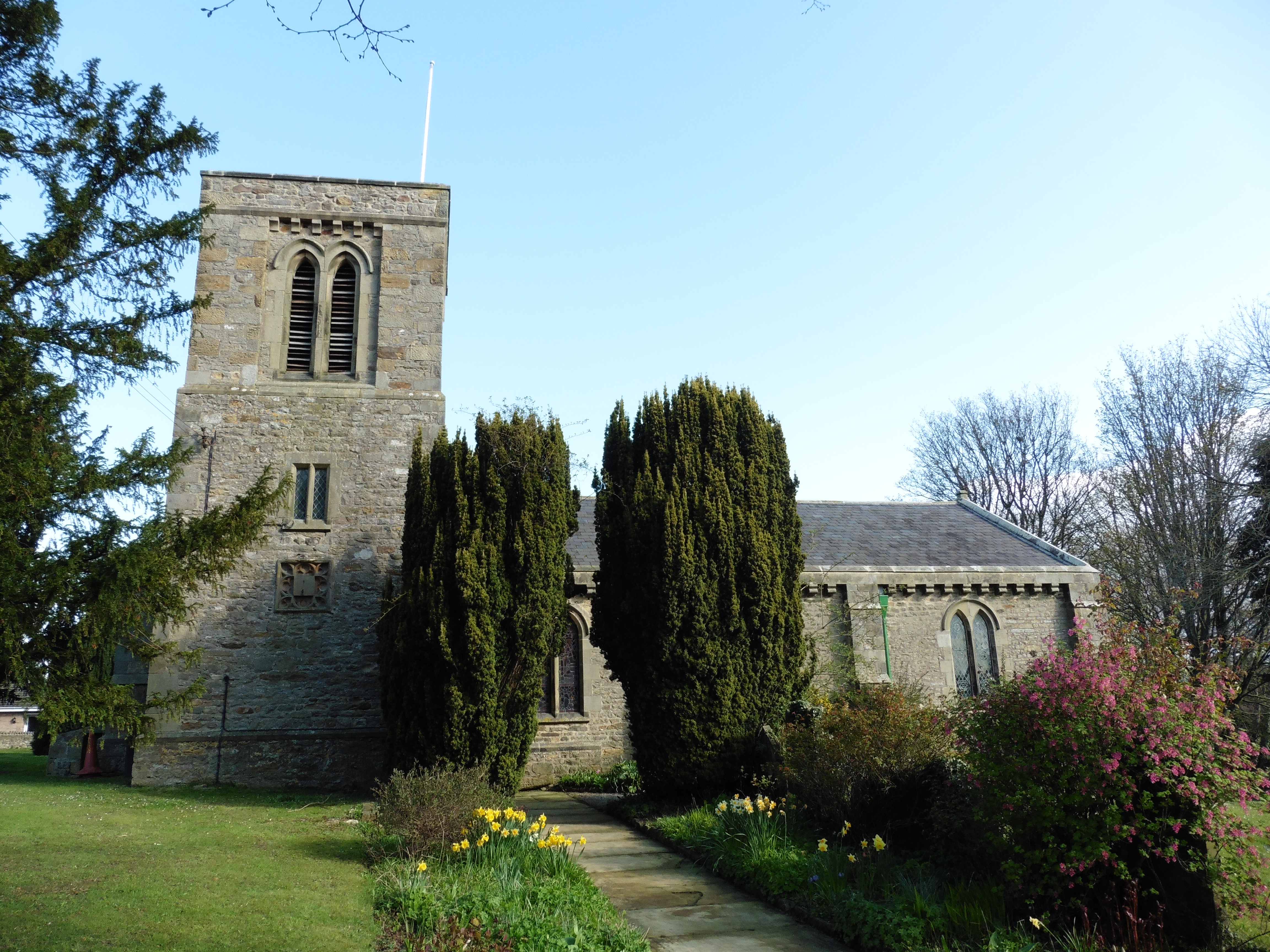
St Cuthbert and St Mary's Church, Barton

St Cuthbert and St Mary's Church is the parish church of Barton, North Yorkshire, in England. In the medieval period, Barton was served by two churches...

Barton, North Yorkshire

Barton is a village and civil parish in North Yorkshire, England. According to the 2011 census it had a population of 837. It is situated near the border...

Stapleton-on-Tees

Stapleton (locally [stepəltən], ˈsteɪpltən), is a small village and civil parish on the River Tees, North Yorkshire, England. Historically, the settlement...

Nearby Amenities

Located within 500m of 54.489818,-1.6232112
Power: pole
Lat/Long: 54.4940208/-1.6212303
Power: pole
Lat/Long: 54.4906629/-1.6276692
Power: pole
Lat/Long: 54.492305/-1.6245368
Power: pole
Lat/Long: 54.493741/-1.6217762
Power: pole
Lat/Long: 54.490213/-1.6295211
Power: pole
Lat/Long: 54.4915199/-1.626046
Power: pole
Lat/Long: 54.493074/-1.6230776
The data included in this document is from www.openstreetmap.org. The data is made available under ODbL.

Have you been to Beckmoor Plantation?

Leave your review of Beckmoor Plantation below (or comments, questions and feedback).