Dean Row
Settlement in Cheshire
England
Dean Row
Dean Row is a village located in the county of Cheshire, England. Situated near the town of Wilmslow, it is a small and picturesque settlement with a population of around 1,500 residents. The village is known for its charming countryside setting and its close proximity to the vibrant city of Manchester.
The origins of Dean Row can be traced back to medieval times, and it has a rich history that is reflected in its architecture and landmarks. One of the notable features is St. Mary's Church, which dates back to the 17th century and is a Grade II listed building. The church is known for its distinctive tower and beautiful stained glass windows.
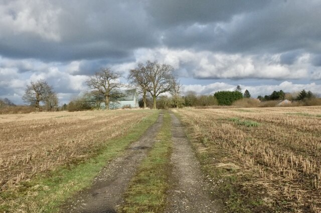
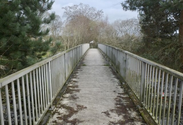
The village itself offers a range of amenities and facilities to its residents and visitors. There is a local primary school, a community hall, and a small selection of shops and businesses that cater to the needs of the community. The surrounding countryside provides ample opportunities for outdoor activities such as walking, cycling, and horse riding.
Dean Row benefits from its close proximity to Wilmslow, which offers a wider range of amenities including supermarkets, restaurants, and leisure facilities. The village also benefits from excellent transport links, with easy access to major road networks and nearby train stations.
Overall, Dean Row is a charming and peaceful village that combines the tranquility of rural living with the convenience of being close to larger towns and cities. Its rich history, beautiful surroundings, and friendly community make it an attractive place to live or visit in Cheshire.
If you have any feedback on the listing, please let us know in the comments section below.
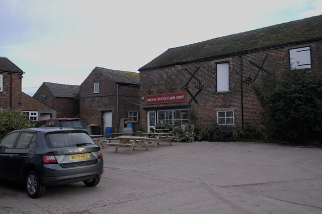
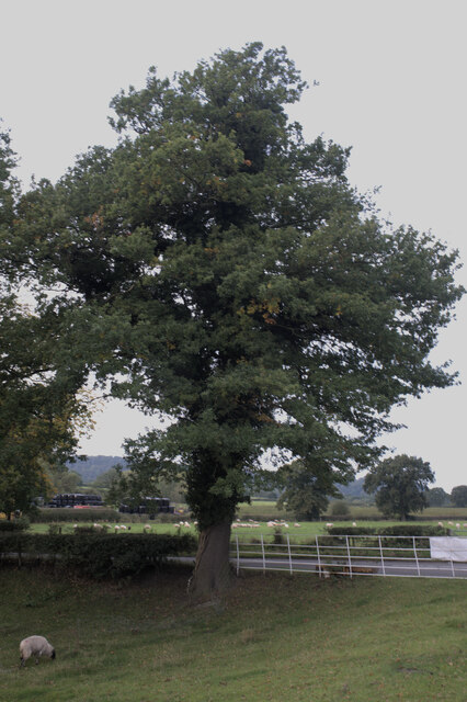
Dean Row Images
Images are sourced within 2km of 53.330955/-2.199377 or Grid Reference SJ8681. Thanks to Geograph Open Source API. All images are credited.


Dean Row is located at Grid Ref: SJ8681 (Lat: 53.330955, Lng: -2.199377)
Unitary Authority: Cheshire East
Police Authority: Cheshire
What 3 Words
///tadpoles.imprints.undertook. Near Wilmslow, Cheshire
Nearby Locations
Related Wikis
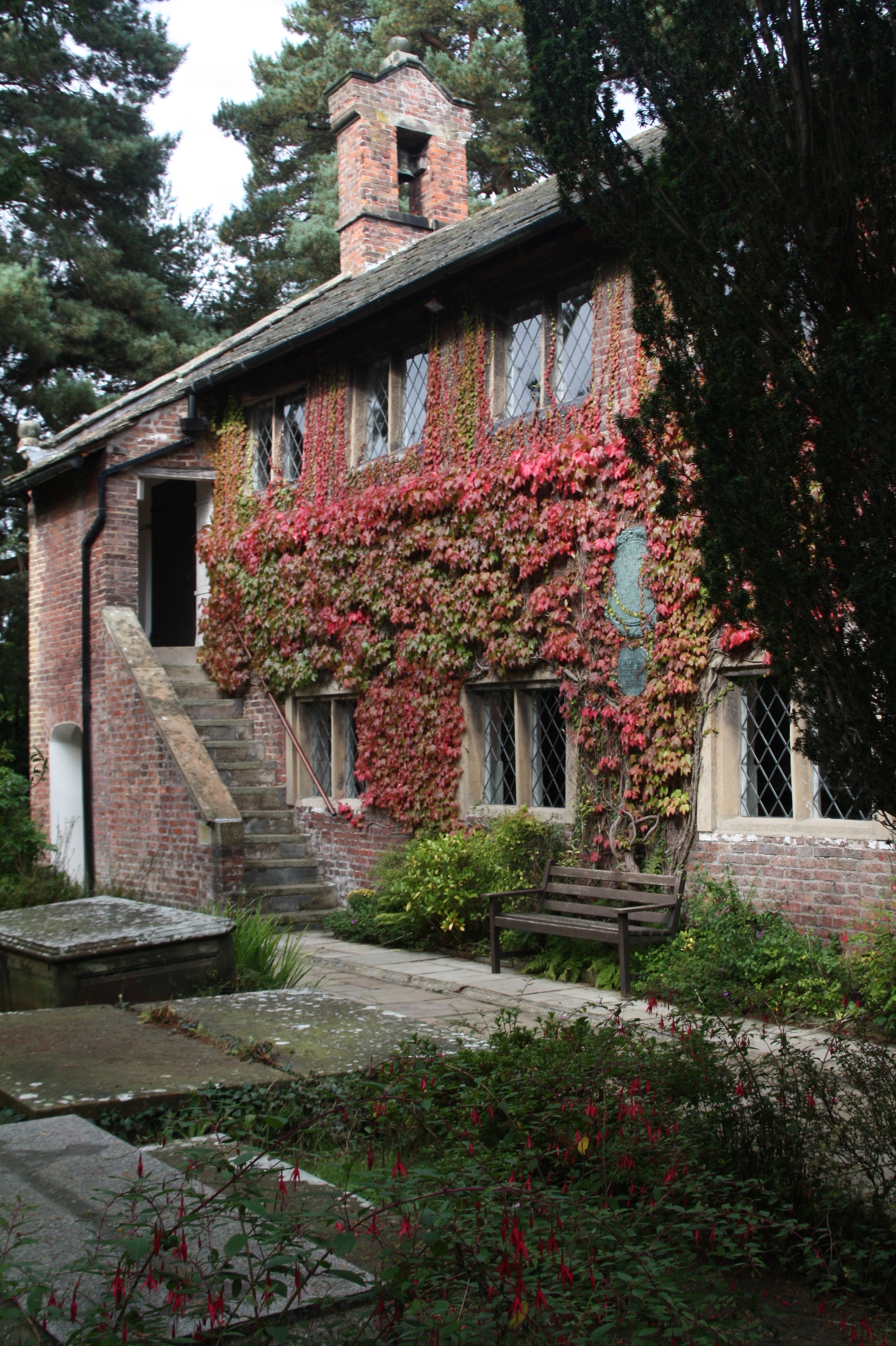
Dean Row Chapel
Dean Row Chapel is a Unitarian place of worship in Cheshire, North West England. It is located 2 miles (3 km) east of the town of Wilmslow, Cheshire, near...

Handforth Hall
Handforth Hall is a former manor house in Handforth, Cheshire, England. It is dated 1562, and was built by Sir Urian Brereton. Alterations have been...

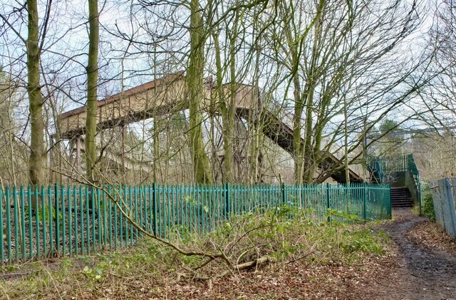
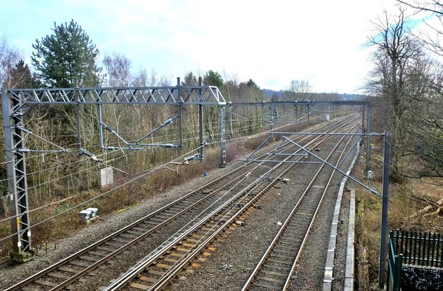
Wilmslow railway station
Wilmslow railway station is in Wilmslow, Cheshire, England, 12 miles (19 km) south of Manchester Piccadilly on the Crewe to Manchester Line. This station...
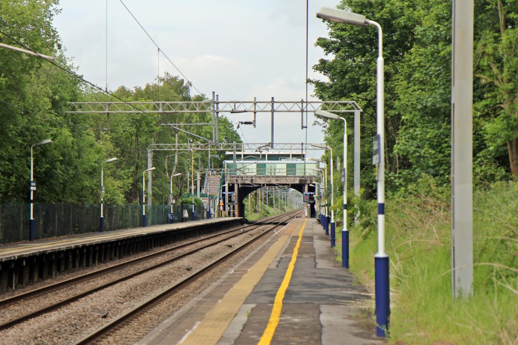
Handforth railway station
Handforth railway station is in the town of Handforth in Cheshire, England. Opened in 1842, it is on the Crewe to Manchester Line. == History == The station...
Nearby Amenities
Located within 500m of 53.330955,-2.199377Have you been to Dean Row?
Leave your review of Dean Row below (or comments, questions and feedback).