Dean Park
Settlement in Renfrewshire
Scotland
Dean Park
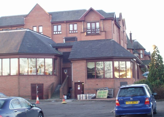
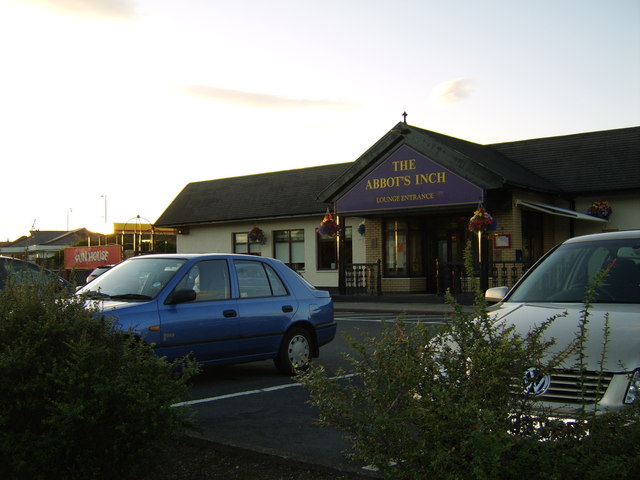
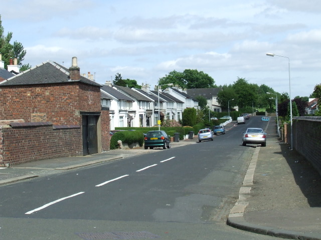
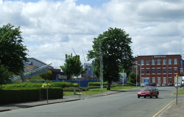
Dean Park is a picturesque residential area located in Renfrewshire, Scotland. Situated just south of the town of Renfrew, it offers a peaceful and scenic environment for residents. The neighborhood is characterized by its well-maintained streets and charming houses, which range from traditional cottages to modern family homes.
One of the notable features of Dean Park is its close proximity to a variety of amenities and recreational facilities. The nearby Braehead Shopping Centre provides residents with an abundance of retail options, restaurants, and entertainment venues. Additionally, the Xscape leisure complex offers activities such as indoor skiing, rock climbing, and a multiplex cinema.
For those seeking outdoor pursuits, Dean Park is surrounded by green spaces and parks. The nearby Robertson Park features beautiful gardens, a children's play area, and tennis courts. Furthermore, the Clyde Muirshiel Regional Park is within easy reach, offering extensive walking trails, wildlife spotting opportunities, and stunning views of the surrounding countryside.
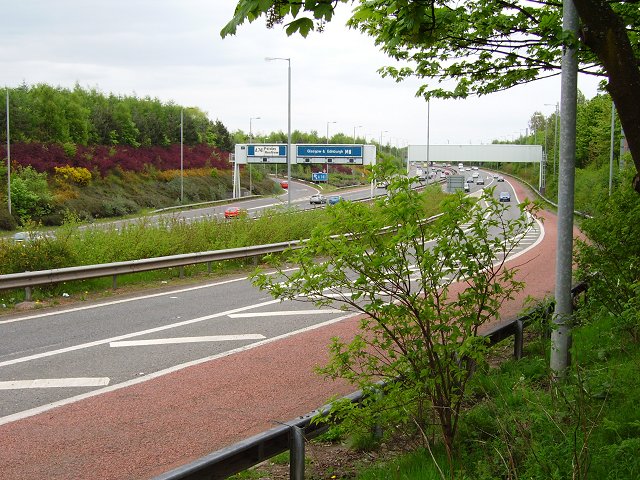
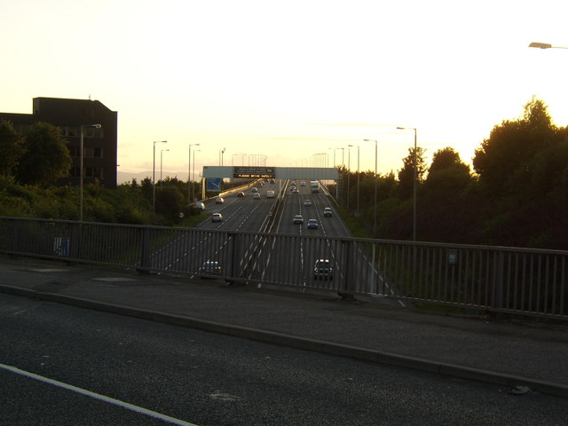
Transport links in Dean Park are excellent, with convenient access to the M8 motorway, Glasgow Airport, and the nearby town of Paisley. The area is also well-served by public transportation, with regular bus services connecting residents to surrounding towns and cities.
Overall, Dean Park is a desirable residential area with its idyllic setting, range of amenities, and convenient transport links. Its combination of tranquility and accessibility makes it an attractive place to live for families and professionals alike.
If you have any feedback on the listing, please let us know in the comments section below.
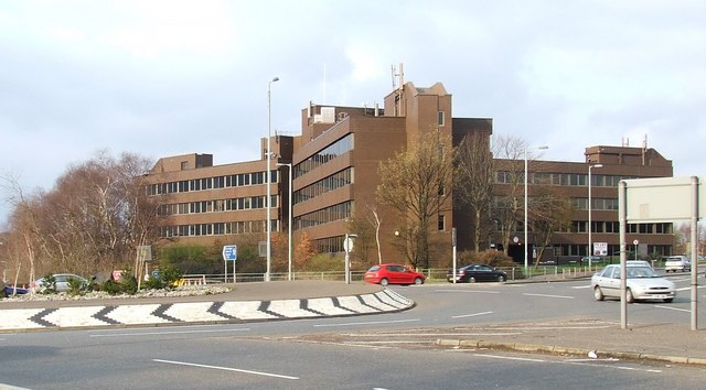
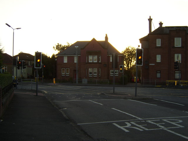
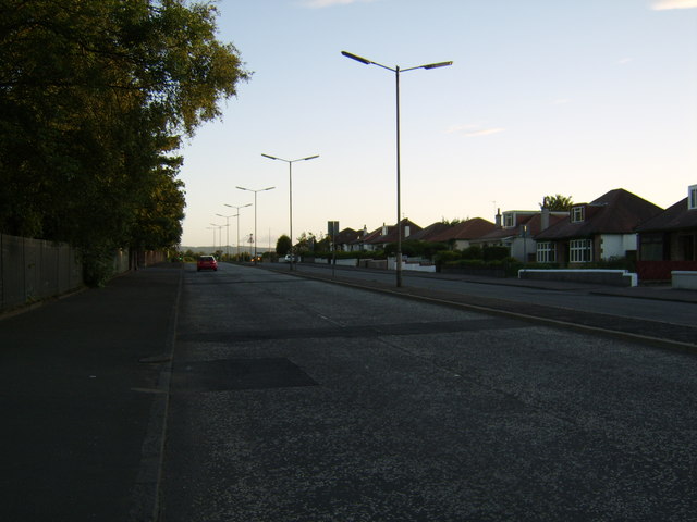
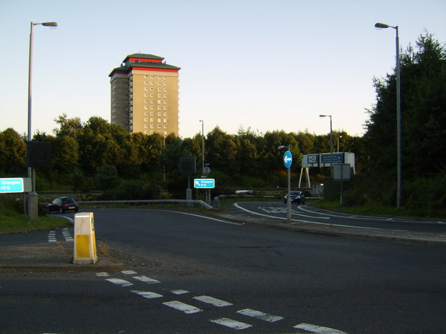
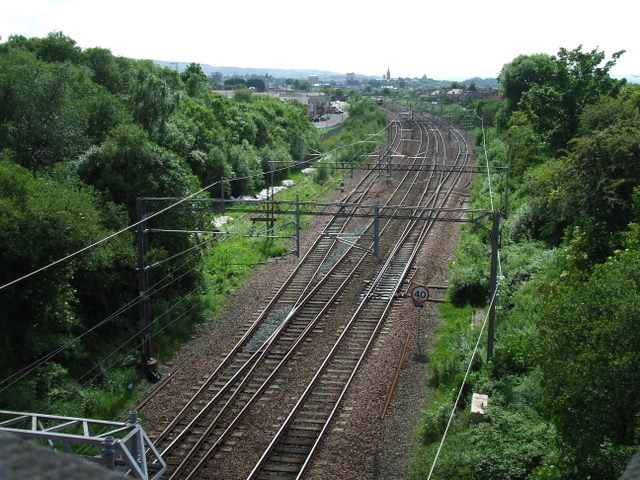
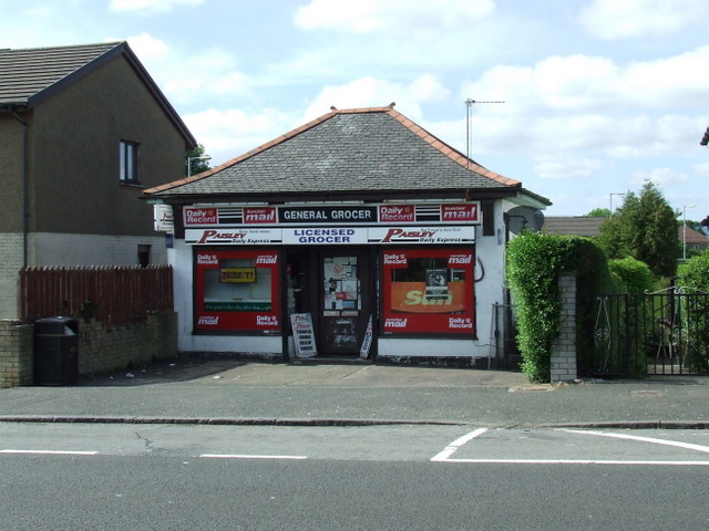
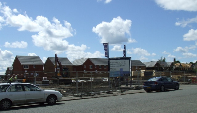
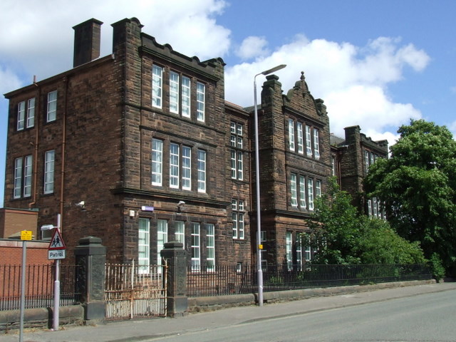
Dean Park Images
Images are sourced within 2km of 55.864078/-4.3824598 or Grid Reference NS5166. Thanks to Geograph Open Source API. All images are credited.

Dean Park is located at Grid Ref: NS5166 (Lat: 55.864078, Lng: -4.3824598)
Unitary Authority: Renfrewshire
Police Authority: Renfrewshire and Inverclyde
What 3 Words
///vibe.bath.custom. Near Renfrew, Renfrewshire
Nearby Locations
Related Wikis
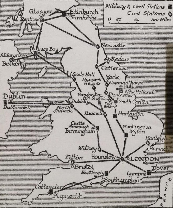
Renfrew Airport
Renfrew Airport was the domestic airport serving the city of Glasgow until it was decommissioned in 1966. It was located in the Newmains area of Renfrew...

Renfrew High School
Renfrew High School is a state-run secondary school in Renfrew, Renfrewshire, Scotland. The school roll in September 2019 was 816. The headteacher since...
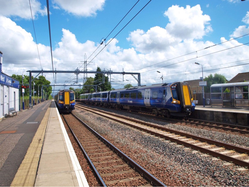
Hillington West railway station
Hillington West railway station is located in the Hillington district of Glasgow, Scotland, also serving the western portion of the large Hillington industrial...
Glasgow distillery
Glasgow distillery is a Scotch whisky, gin and rum distillery in Glasgow, Scotland. In 2020, the distillery was named distillery of the year at the Scottish...
Nearby Amenities
Located within 500m of 55.864078,-4.3824598Have you been to Dean Park?
Leave your review of Dean Park below (or comments, questions and feedback).