Poors Wood
Wood, Forest in Warwickshire Warwick
England
Poors Wood
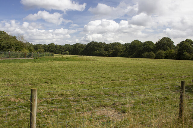
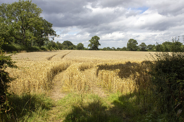
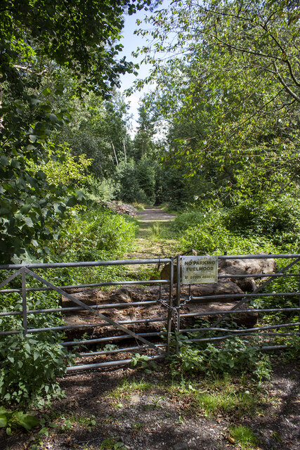
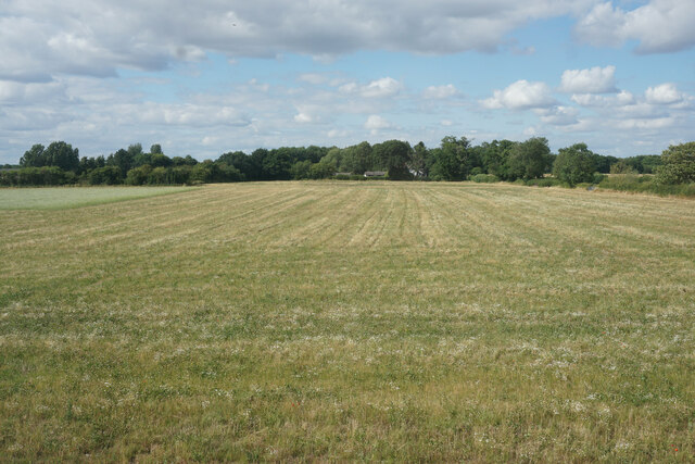
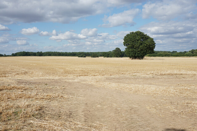
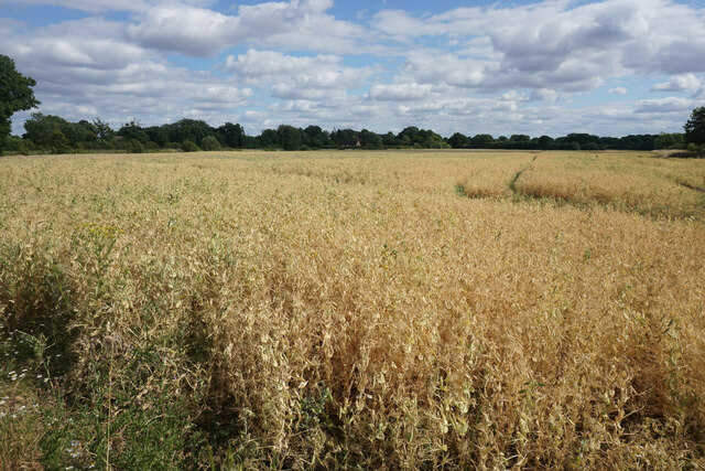
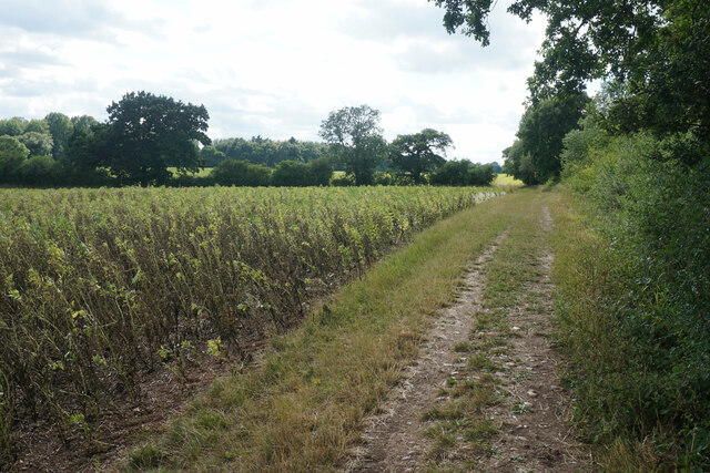
Poors Wood is a picturesque woodland area located in Warwickshire, England. Covering an area of approximately 40 acres, it is a popular destination for nature enthusiasts and outdoor enthusiasts alike. The woodland is known for its diverse range of flora and fauna, offering visitors a unique opportunity to explore and immerse themselves in natural beauty.
The wood is predominantly made up of native broadleaf trees, including oak, beech, and ash, which create a dense canopy overhead. This, combined with the well-maintained footpaths, provides a tranquil and peaceful environment for walkers and hikers to enjoy. The forest floor is covered in a rich carpet of wildflowers and ferns, adding to the enchanting atmosphere.
Wildlife thrives within Poors Wood, with various species calling it their home. Visitors may be lucky enough to spot deer, badgers, and a wide range of bird species, including woodpeckers and owls. The wood also supports a diverse range of insects and small mammals, making it a haven for nature lovers and wildlife enthusiasts.
Poors Wood offers numerous recreational activities for visitors, including walking, birdwatching, and photography. The wood is well-maintained, with designated footpaths and signage to guide visitors through the area. There are also picnic areas and benches scattered throughout, providing a perfect spot to rest and take in the tranquil surroundings.
Overall, Poors Wood is a beautiful natural area in Warwickshire, offering visitors a chance to escape the hustle and bustle of everyday life and immerse themselves in the serene beauty of nature.
If you have any feedback on the listing, please let us know in the comments section below.
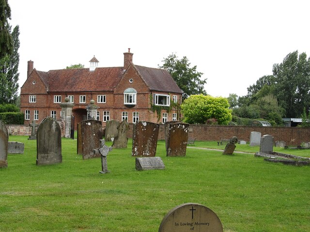
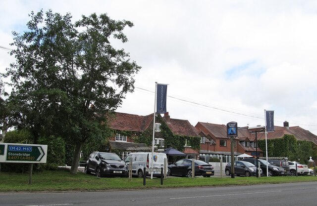
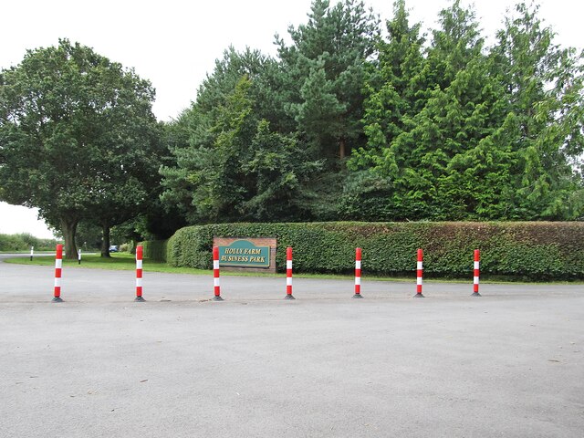
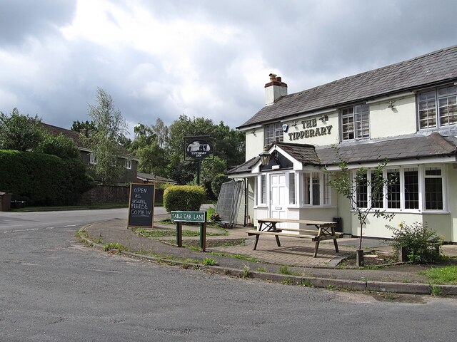
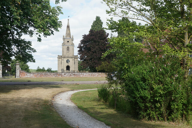
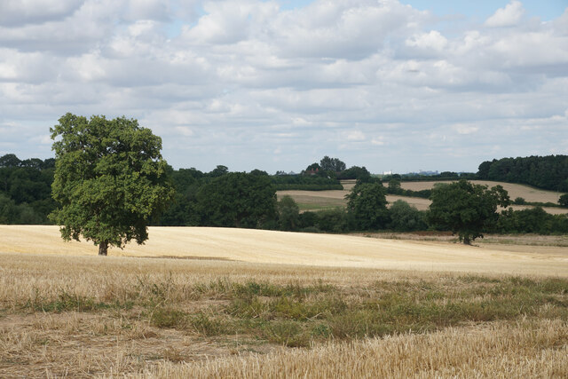
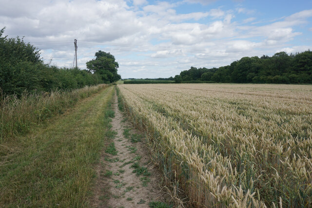
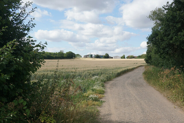
Poors Wood Images
Images are sourced within 2km of 52.357819/-1.6443364 or Grid Reference SP2473. Thanks to Geograph Open Source API. All images are credited.
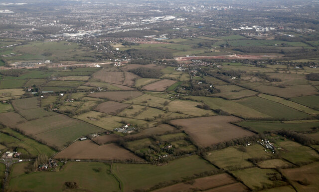

Poors Wood is located at Grid Ref: SP2473 (Lat: 52.357819, Lng: -1.6443364)
Administrative County: Warwickshire
District: Warwick
Police Authority: Warwickshire
What 3 Words
///occur.overlooks.actual. Near Wroxall, Warwickshire
Nearby Locations
Related Wikis

Banbury Music Radio
Banbury Music Radio was a local Internet radio station in Banbury, Oxfordshire, England that showcased bands from all around Oxfordshire, Berkshire, and...

Honiley
Honiley is a small village and former civil parish, now in the parish of Beausale, Haseley, Honiley and Wroxall, in the Warwick district, in the county...
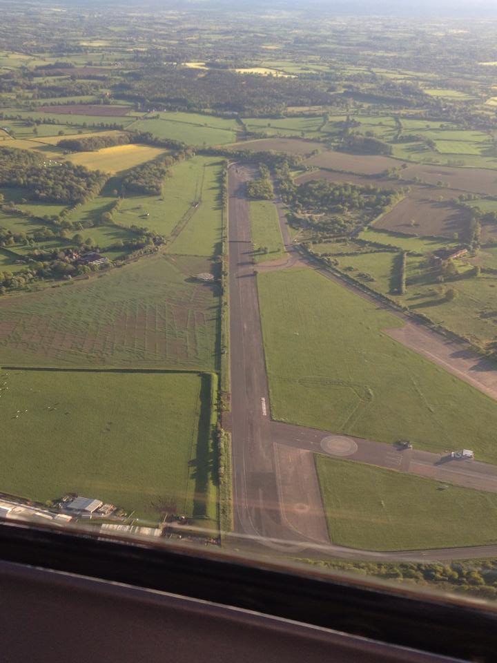
RAF Honiley
Royal Air Force Honiley or RAF Honiley is a former Royal Air Force station located in Wroxall, Warwickshire, 7 miles (11 km) southwest of Coventry, England...
Beausale
Beausale is a hamlet and former civil parish, now in the parish of Beausale, Haseley, Honiley and Wroxall, in the Warwick district of Warwickshire, England...

Wroxall, Warwickshire
Wroxall is a small village and former civil parish, now in the parish of Beausale, Haseley, Honiley and Wroxall, in the Warwick district, in the county...
Beausale, Haseley, Honiley and Wroxall
Beausale, Haseley, Honiley and Wroxall is a civil parish in the Warwick District of Warwickshire, England. It was created in 2007 by the merger of the...
Heart of England School
Heart of England School is a secondary school and sixth form with academy status located in Balsall Common in the West Midlands. The Headteacher, who started...

Wren's Cathedral
Wren's Cathedral, properly the Church of St Leonard and now a cathedral of the Communion of Evangelical Episcopal Churches, was originally the Lady Chapel...
Nearby Amenities
Located within 500m of 52.357819,-1.6443364Have you been to Poors Wood?
Leave your review of Poors Wood below (or comments, questions and feedback).