Black Carr

Wood, Forest in Derbyshire Derbyshire Dales

England

Black Carr

Hulland Village Ford This ford is found on the Hulland Hollow Brook.
Hulland Village Ford Credit: John Walton

Black Carr is a small wooded area located in Derbyshire, England. Situated near the village of Wood, it is known for its serene beauty and natural charm. The forest covers an area of approximately 100 hectares, offering a peaceful retreat for visitors seeking tranquility and a connection with nature.

The woodland is characterized by its dense canopy of towering trees, predominantly oak and beech, which provide a sheltered habitat for a variety of wildlife. Visitors can expect to encounter a diverse range of flora and fauna, including deer, foxes, and various bird species.

The forest is crisscrossed by a network of well-maintained walking trails, allowing visitors to explore the area at their leisure. These trails wind through the woodland, offering glimpses of hidden streams and small ponds along the way. The peaceful atmosphere, coupled with the gentle sound of birdsong, makes it an ideal location for nature lovers and photographers alike.

Black Carr also boasts a rich history, with evidence of human habitation dating back centuries. Archaeological finds in the area include ancient burial mounds and remnants of Iron Age settlements, providing a fascinating glimpse into the region's past.

Overall, Black Carr in Derbyshire offers a tranquil escape from the hustle and bustle of modern life. Its picturesque woodland, abundant wildlife, and rich history make it a popular destination for both locals and tourists seeking a connection with nature and a sense of serenity.

If you have any feedback on the listing, please let us know in the comments section below.
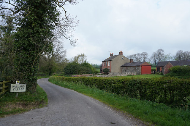
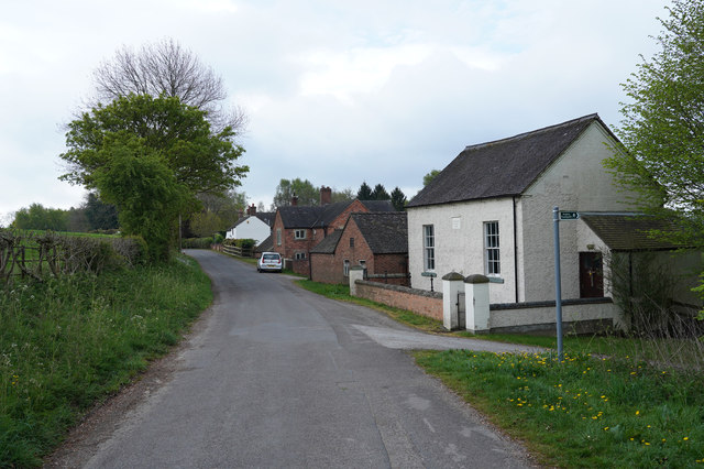
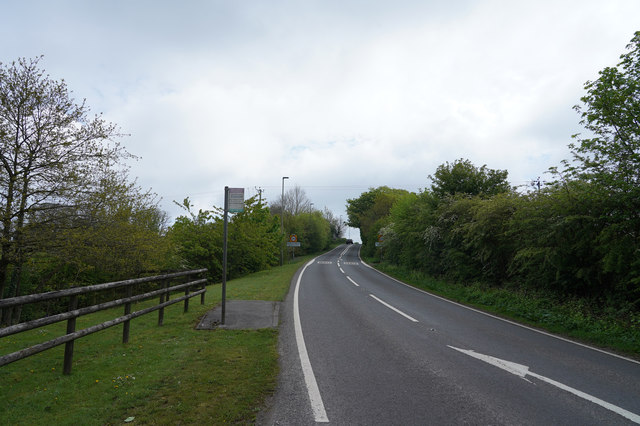
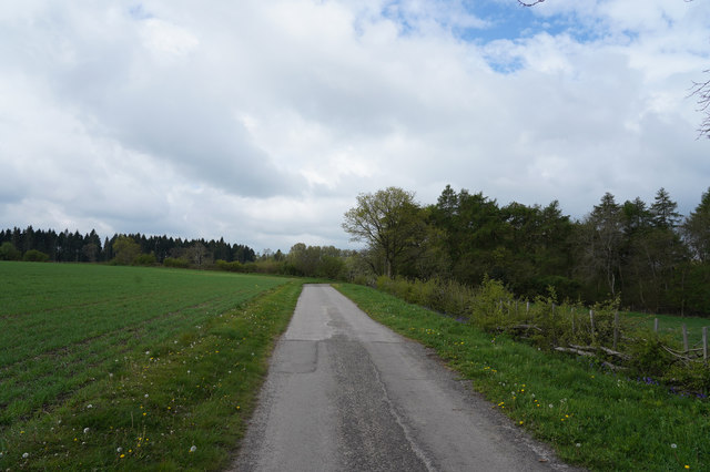
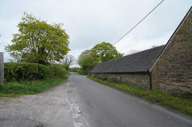
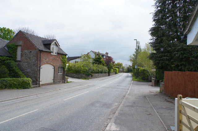
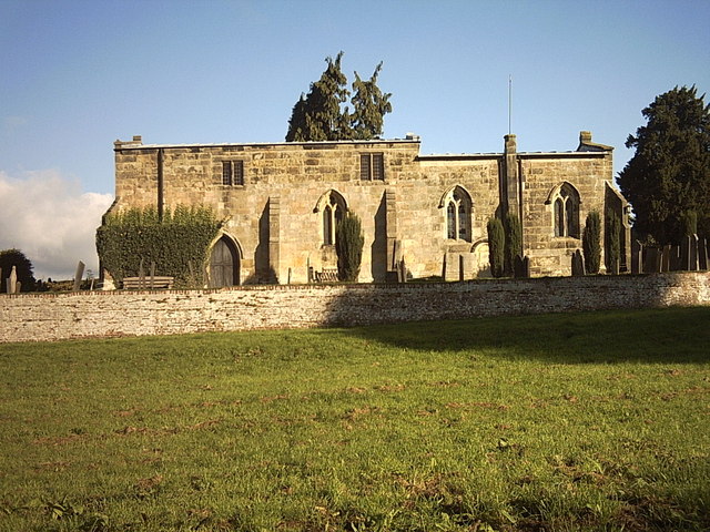
Black Carr Images

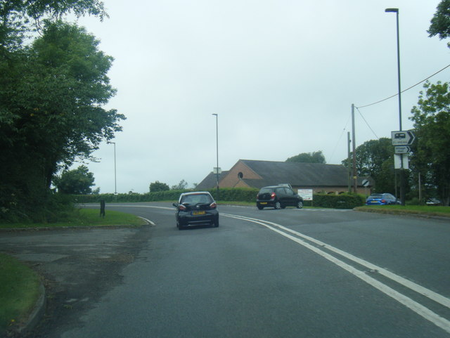
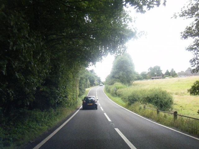
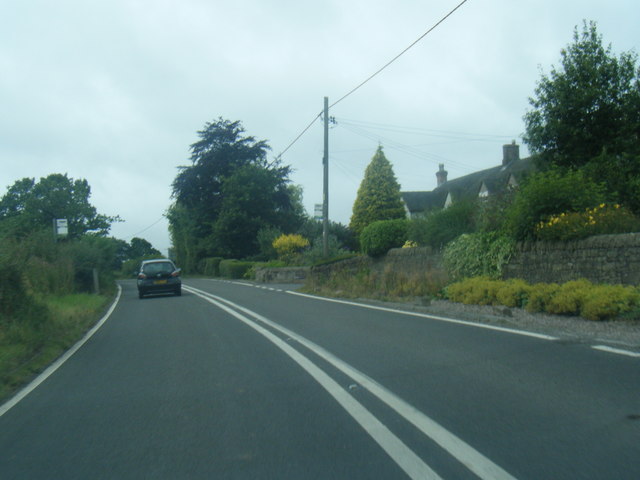
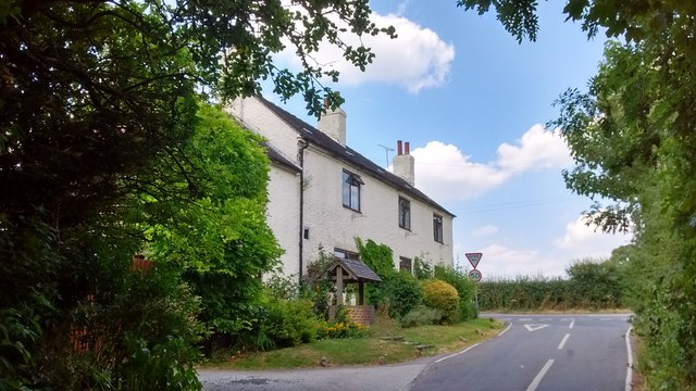
Images are sourced within 2km of 53.006087/-1.6393033 or Grid Reference SK2445. Thanks to Geograph Open Source API. All images are credited.

Hulland Village Ford This ford is found on the Hulland Hollow Brook.
Hulland Village Ford
This ford is found on the Hulland Hollow Brook.
A517/ Dog Lane junction at Hulland Ward
A517 near Hulland Hall
A517 at Atlow Cottage
The Former Jinglers/Fox & Hounds About 4 miles east of Ashbourne on the A517, near Bradley, was a pub with two names. The side of the sign facing towards Ashbourne said The Fox & Hounds whilst the other side said The Jinglers. A former coaching inn, it closed in 2000 and is now a private residence.

Local historian Wendy Whitbread suggests that the Jinglers name came about as the pub used to stand at the end of a track coming from a lead mine. Ponies were employed to transport the lead and the leading pony wore a bell so that its jingling sound would alert workers in the bar to the fact that it was time to deal with the laden beasts. She also suggests that when the inn became tied to Offiler's Brewery the new owners wanted to change the name to the Fox & Hounds and that the double sign was a compromise to keep the locals happy.
The Former Jinglers/Fox & Hounds
About 4 miles east of Ashbourne on the A517, near Bradley, was a pub with two names. The side of the sign facing towards Ashbourne said The Fox & Hounds whilst the other side said The Jinglers. A former coaching inn, it closed in 2000 and is now a private residence. Local historian Wendy Whitbread suggests that the Jinglers name came about as the pub used to stand at the end of a track coming from a lead mine. Ponies were employed to transport the lead and the leading pony wore a bell so that its jingling sound would alert workers in the bar to the fact that it was time to deal with the laden beasts. She also suggests that when the inn became tied to Offiler's Brewery the new owners wanted to change the name to the Fox & Hounds and that the double sign was a compromise to keep the locals happy.
The edge of Hulland Village The sign says Hulland Village but there are only a couple of isolated houses here and then a large gap before the village proper.
The edge of Hulland Village
The sign says Hulland Village but there are only a couple of isolated houses here and then a large gap before the village proper.
Hulland Bourne Chapel Still only isolated cottages as we have not found the middle of the very spread out village of Hulland.
Hulland Bourne Chapel
Still only isolated cottages as we have not found the middle of the very spread out village of Hulland.
Between Hulland and Hulland Ward The two villages share a name but are quite separate from each other.
Between Hulland and Hulland Ward
The two villages share a name but are quite separate from each other.
Towards Lower Hough Park Lower Hough Park is, I think, a very different name for one of the local farms.
Towards Lower Hough Park
Lower Hough Park is, I think, a very different name for one of the local farms.
Farm buildings The corrugated roof of some farm buildings is visible in the middle distance of this image.
Farm buildings
The corrugated roof of some farm buildings is visible in the middle distance of this image.
The Knob This distant group of houses around the Y junction is called the Knob on the OS map.
The Knob
This distant group of houses around the Y junction is called the Knob on the OS map.
Across the fields Looking across the fields several Pheasant scurried for safety as soon as they saw me.
Across the fields
Looking across the fields several Pheasant scurried for safety as soon as they saw me.
Looking towards Spinneyford Brook The brook is well hidden being deeper in the valley. It has several small lakes, presumably artificial, made for fishing.
Looking towards Spinneyford Brook
The brook is well hidden being deeper in the valley. It has several small lakes, presumably artificial, made for fishing.
Grassy fields Looking from North Lane across a small field into a much larger one.
Grassy fields
Looking from North Lane across a small field into a much larger one.
A little shed In the corner of the field is this fairly dilapidated shed.
A little shed
In the corner of the field is this fairly dilapidated shed.
The track to Bradley Oldpark South The good surface seen here soon deteriorates as it goes towards Bradley Oldpark South.
The track to Bradley Oldpark South
The good surface seen here soon deteriorates as it goes towards Bradley Oldpark South.
Gorse Lane The Farm is Bradley Nook and it sits very close to Gorse Lane, which is a very minor road.
Gorse Lane
The Farm is Bradley Nook and it sits very close to Gorse Lane, which is a very minor road.
Hulland Ward Village Hulland Ward is a village with a very mixed range of housing both in terms of age and size.
Hulland Ward Village
Hulland Ward is a village with a very mixed range of housing both in terms of age and size.
Show me another place!

Black Carr is located at Grid Ref: SK2445 (Lat: 53.006087, Lng: -1.6393033)

Administrative County: Derbyshire

District: Derbyshire Dales

Police Authority: Derbyshire

What 3 Words

///golden.thinnest.staring. Near Ashbourne, Derbyshire

Nearby Locations

Black Carr

Related Wikis

Hulland

Hulland is a village and civil parish in the Derbyshire Dales district of Derbyshire, England, adjoining the A517 road. It had a population of 215 according...

Bradley, Derbyshire

Bradley is a village and civil parish in Derbyshire just east of Ashbourne. The population of the civil parish taken at the 2011 Census was 313. Other...

Hulland Ward

Hulland Ward is a village and civil parish in the Derbyshire Dales district of Derbyshire roughly 6 miles west of Belper, Derbyshire England on the A517...

Ednaston Manor

Ednaston Manor is a country house in Ednaston, near Brailsford, Derbyshire, England. It was built in 1912–19 in a Queen Anne style by Edwin Lutyens, for...

Nearby Amenities

Located within 500m of 53.006087,-1.6393033
Barrier: cattle_grid
Ele: 183.0000000
Lat/Long: 53.0066211/-1.6436314
Ele: 170.0000000
Lat/Long: 53.0047747/-1.6451898
Place: farm
Lat/Long: 53.0071323/-1.6367246
Barrier: stile
Stile: squeezer
Lat/Long: 53.0079012/-1.6423085
Barrier: stile
Stile: squeezer
Lat/Long: 53.0078629/-1.6423533
Ford: yes
Lat/Long: 53.0068441/-1.6321418
The data included in this document is from www.openstreetmap.org. The data is made available under ODbL.

Have you been to Black Carr?

Leave your review of Black Carr below (or comments, questions and feedback).