Garden Wood
Wood, Forest in Warwickshire Stratford-on-Avon
England
Garden Wood
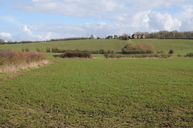
![The view from the hill [1] The bridleway has made the gentle ascent of Houndshill Hill.](https://s1.geograph.org.uk/geophotos/02/84/76/2847649_0dc812c5.jpg)
Garden Wood is a picturesque forest located in Warwickshire, England. Spread over an area of approximately 50 acres, this woodland is a popular destination for nature enthusiasts and outdoor adventurers. The wood is named after the abundance of beautiful gardens that surround it, creating a tranquil and vibrant atmosphere.
Garden Wood is characterized by its diverse range of flora and fauna. The forest is home to a variety of tree species, including oak, beech, and birch, which create a dense canopy overhead. The forest floor is covered in a lush carpet of ferns, bluebells, and wildflowers, providing a delightful sight during spring and summer.
The wood offers numerous walking trails and paths that wind through the forest, allowing visitors to explore its natural beauty at their own pace. These trails are well-maintained and suitable for all levels of fitness, making it an ideal location for a leisurely stroll or a challenging hike. Along the way, visitors may encounter wildlife such as deer, squirrels, and a wide array of bird species.
Garden Wood also has designated picnic areas and benches, providing visitors with the opportunity to relax and enjoy the serene surroundings. The peaceful atmosphere and abundant natural beauty make it an ideal spot for families, couples, and individuals seeking a peaceful retreat away from the hustle and bustle of city life.
Overall, Garden Wood in Warwickshire offers a haven of tranquility and natural splendor, inviting visitors to immerse themselves in the beauty of the forest and enjoy the wonders of the great outdoors.
If you have any feedback on the listing, please let us know in the comments section below.
Garden Wood Images
Images are sourced within 2km of 52.162179/-1.6467448 or Grid Reference SP2451. Thanks to Geograph Open Source API. All images are credited.

![Covered reservoir [1] The covered reservoir atop Houndshill Hill is seen from the bridleway.](https://s1.geograph.org.uk/geophotos/02/84/78/2847897_2e47dd8f.jpg)
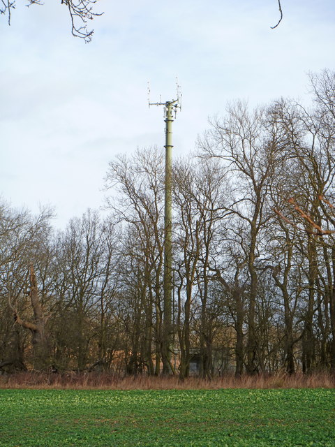
![Covered reservoir [2] A second view of the covered reservoir on top of Houndshill Hill. The image, seen from the bridleway, includes the communication mast and a rather fine tree.](https://s3.geograph.org.uk/geophotos/02/84/90/2849047_78bc3254.jpg)


Garden Wood is located at Grid Ref: SP2451 (Lat: 52.162179, Lng: -1.6467448)
Administrative County: Warwickshire
District: Stratford-on-Avon
Police Authority: Warwickshire
What 3 Words
///aimlessly.tallest.sorters. Near Wellesbourne Mountford, Warwickshire
Nearby Locations
Related Wikis
Loxley, Warwickshire
Loxley, Warwickshire, is a village and civil parish near Stratford-upon-Avon, Warwickshire, England. The population taken at the 2011 census was 399. Loxley...
RAF Atherstone
RAF Atherstone was a former Royal Air Force satellite station located 2.25 miles (3.62 km) south of Stratford-upon-Avon, Warwickshire, England, 7.5 miles...

2007 Warwickshire warehouse fire
On 2 November 2007 a major fire occurred at a warehouse near the village of Atherstone on Stour in Warwickshire, England. Four firefighters from the Warwickshire...

Ettington railway station
Ettington railway station was a railway station that served the village of Ettington in Warwickshire, England. == History == Opened on 1 July 1873 the...
Alscot Park
Alscot Park is a Georgian country house in Preston on Stour, some 3 miles (5 km) south of Stratford-upon-Avon in Warwickshire, England. It is Grade I listed...
Alderminster
Alderminster is a village and civil parish on the River Stour about 4 miles (6.4 km) south of Stratford-upon-Avon in Warwickshire, England. The village...

Ettington
Ettington is a village and civil parish about 5.5 miles (9 km) south-east of Stratford-upon-Avon in Warwickshire, England. The 2011 Census recorded the...

Atherstone on Stour
Atherstone on Stour is a small village and civil parish about 3 miles (5 km) south of Stratford-upon-Avon in Warwickshire, England. The 2011 Census recorded...
Nearby Amenities
Located within 500m of 52.162179,-1.6467448Have you been to Garden Wood?
Leave your review of Garden Wood below (or comments, questions and feedback).