Lawnwith Wood
Wood, Forest in Yorkshire Harrogate
England
Lawnwith Wood
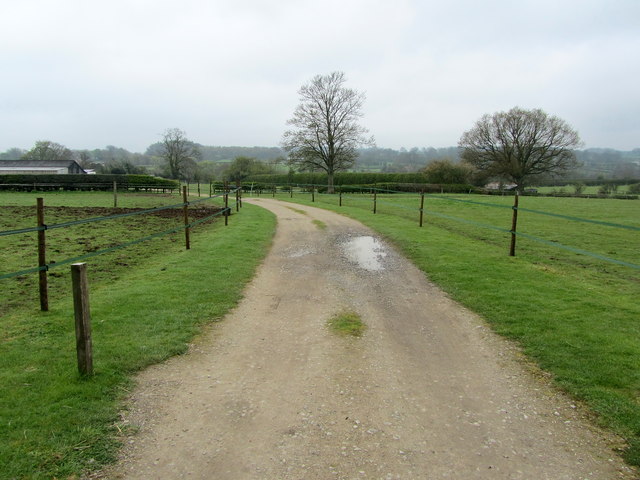
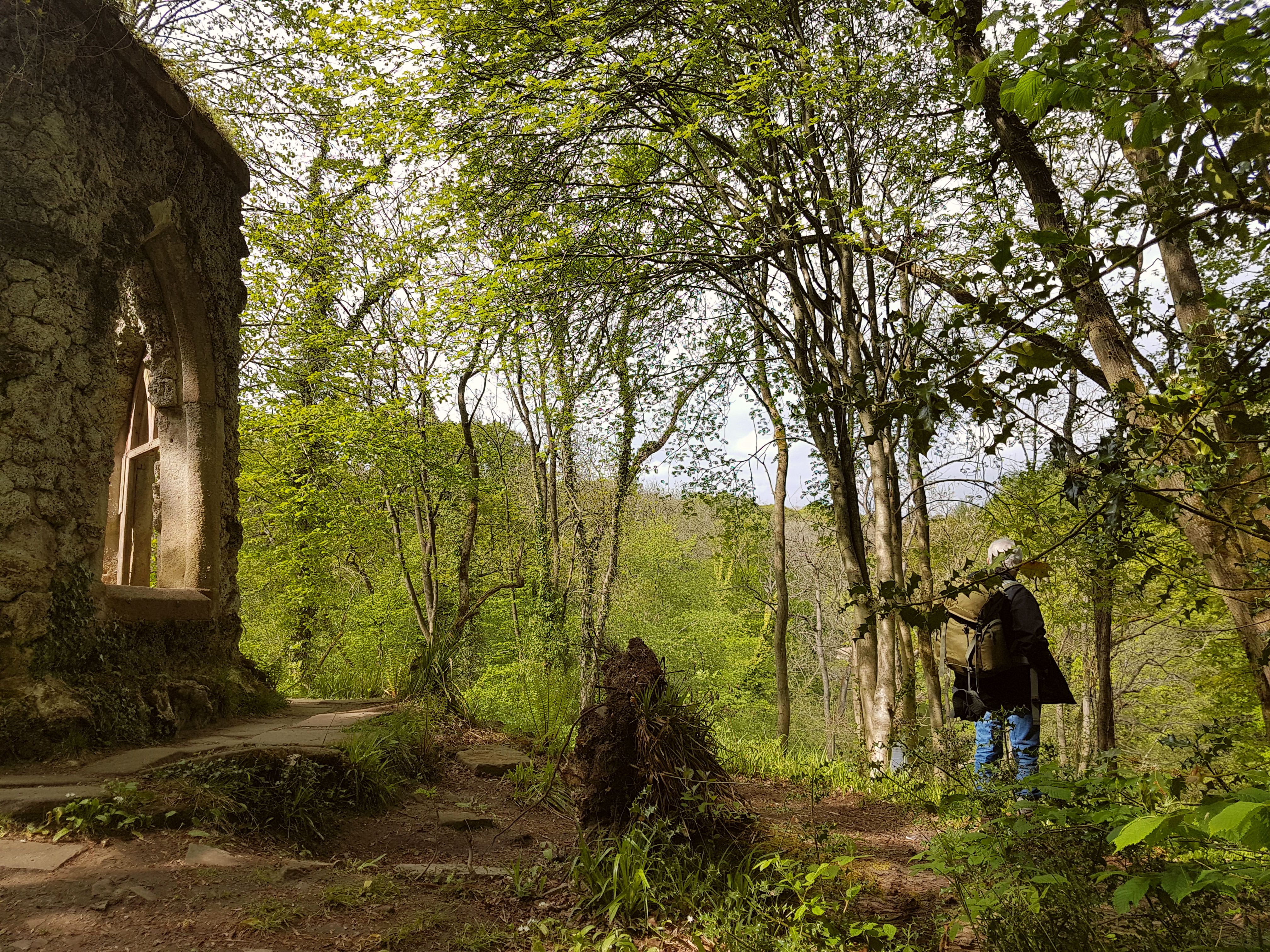
Lawnwith Wood, situated in Yorkshire, England, is a picturesque and enchanting woodland area that encompasses a diverse range of flora and fauna. Spanning over a vast expanse, this forest is a haven for nature enthusiasts and those seeking tranquility amidst the lush greenery.
The wood is predominantly made up of deciduous trees, including oak, beech, and birch, which create a captivating canopy providing shade during the summer months. This variety of trees also contributes to the vibrant colors exhibited during the autumn season, attracting visitors from far and wide to witness nature's stunning display.
Lawnwith Wood is home to an array of wildlife, including several species of birds such as woodpeckers, owls, and thrushes. Additionally, a number of small mammals, such as squirrels, rabbits, and voles, can be spotted scurrying amongst the undergrowth. It is not uncommon to stumble upon the occasional deer or fox, gracefully navigating their way through the forest.
For outdoor enthusiasts, the wood offers an extensive network of walking trails, allowing visitors to explore its beauty at their own pace. These well-maintained paths meander through the woodland, leading to hidden ponds, clearings, and even a small waterfall, providing a sense of adventure and discovery.
Lawnwith Wood is also a popular destination for photographers and artists, who are drawn to its natural charm and peaceful ambiance. The ever-changing landscape, from the carpet of bluebells in spring to the frost-covered branches in winter, provides endless inspiration for capturing the beauty of nature.
Overall, Lawnwith Wood is a captivating woodland retreat, offering visitors an opportunity to immerse themselves in nature's wonders and find solace in its serene surroundings.
If you have any feedback on the listing, please let us know in the comments section below.
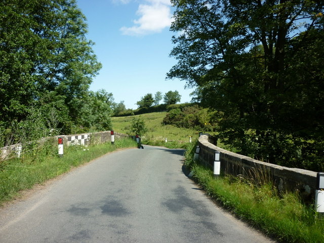
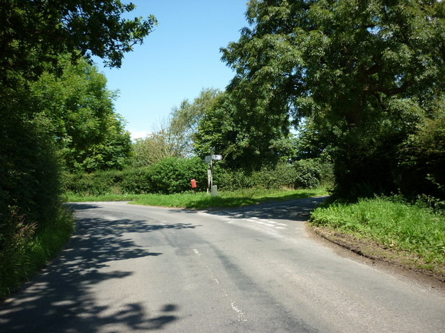
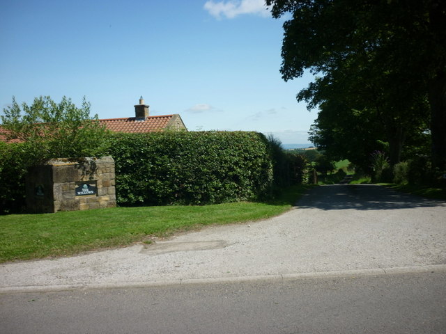
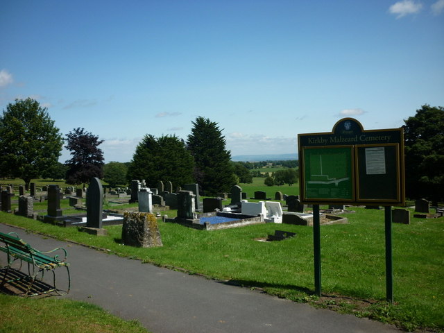
Lawnwith Wood Images
Images are sourced within 2km of 54.164224/-1.6301861 or Grid Reference SE2474. Thanks to Geograph Open Source API. All images are credited.


Lawnwith Wood is located at Grid Ref: SE2474 (Lat: 54.164224, Lng: -1.6301861)
Division: West Riding
Administrative County: North Yorkshire
District: Harrogate
Police Authority: North Yorkshire
What 3 Words
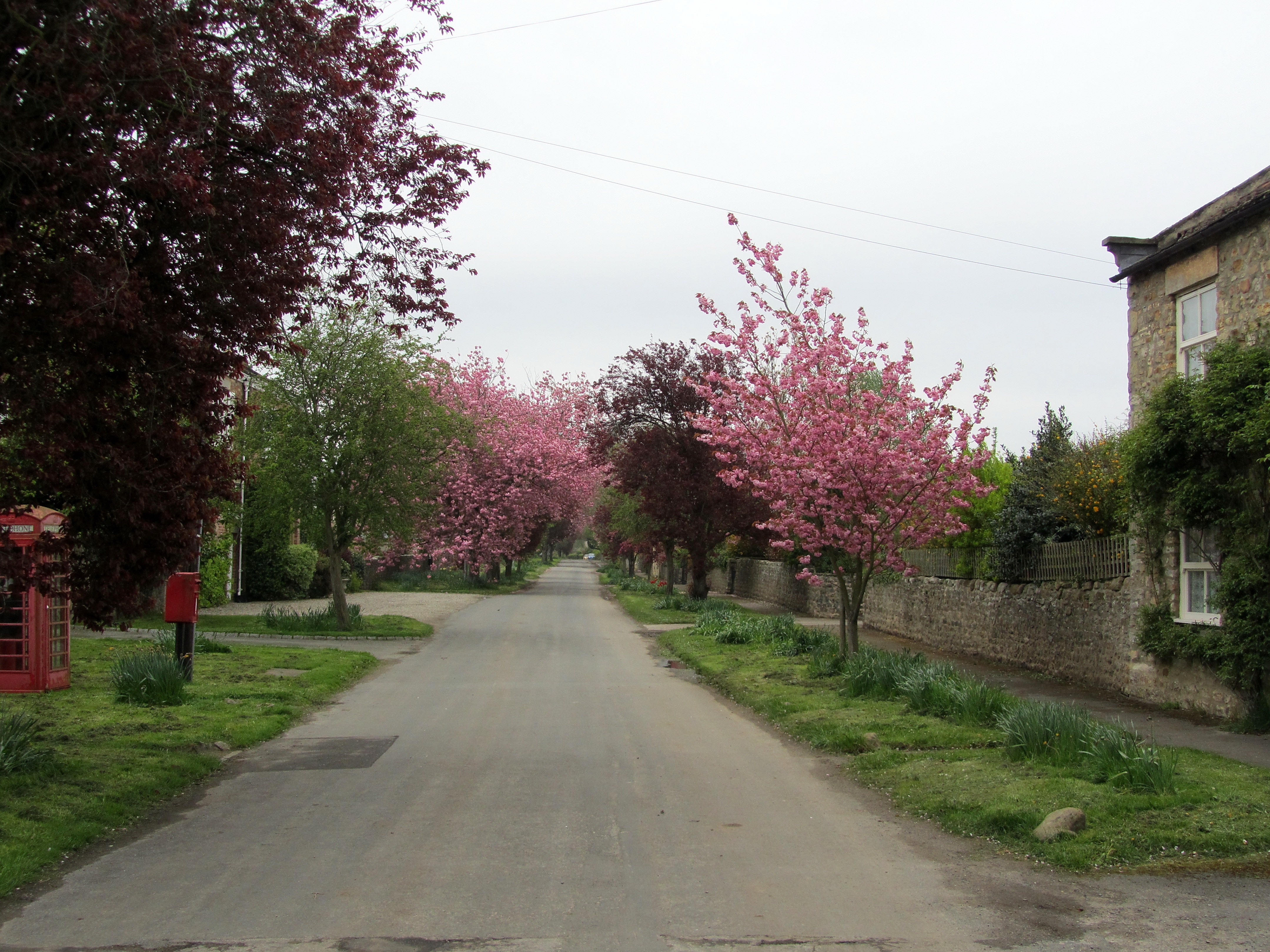
///remainder.processes.toolbar. Near Masham, North Yorkshire
Nearby Locations
Related Wikis

Kirkby Malzeard
Kirkby Malzeard () is a village and civil parish in the Harrogate district of North Yorkshire, England. There has been a creamery in the village making...

Azerley
Azerley is a village and civil parish in the Harrogate district of North Yorkshire, England. It is about 4 miles (6 km) north-west of Ripon. The civil...

Galphay
Galphay (traditionally pronounced [ˈgɔ:fə] GAW-fə) is a village in North Yorkshire, England. It is situated in the Nidderdale Area of Outstanding Natural...

Laverton, North Yorkshire
Laverton is a village and civil parish in the Harrogate district of North Yorkshire, England, about 7 miles (11 km) west of Ripon. The population of this...

Grewelthorpe
Grewelthorpe is a village and civil parish in the Harrogate district of North Yorkshire, England situated 3 miles (5 km) south of Masham and 6.2 miles...
Hack Fall Wood
Hack Fall Wood, otherwise known as Hackfall, is a Site of Special Scientific Interest, or SSSI, of 44.8687 hectares (0.4487 km2; 0.1732 sq mi), lying north...
Mickley, North Yorkshire
Mickley is a village in the Harrogate District of North Yorkshire, England. The village is on the south bank of the River Ure between Masham and West Tanfield...

Cow Myers (wetland)
Cow Myers is a Site of Special Scientific Interest (SSSI) located in the Nidderdale Area of Outstanding Natural Beauty (AONB), near Ripon, North Yorkshire...
Nearby Amenities
Located within 500m of 54.164224,-1.6301861Have you been to Lawnwith Wood?
Leave your review of Lawnwith Wood below (or comments, questions and feedback).