Wootton Coppice Inclosure
Wood, Forest in Hampshire New Forest
England
Wootton Coppice Inclosure
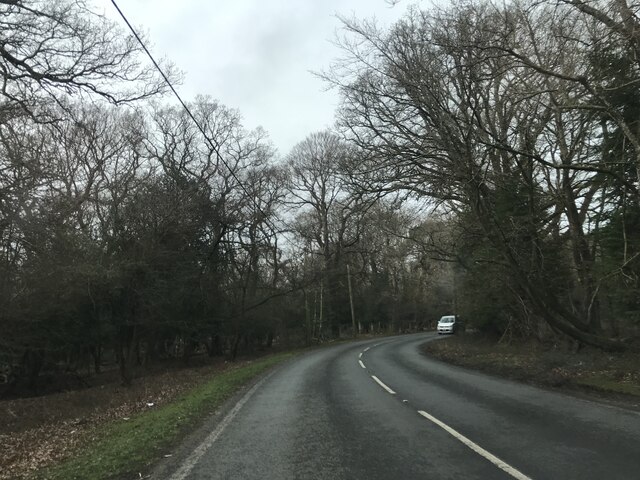
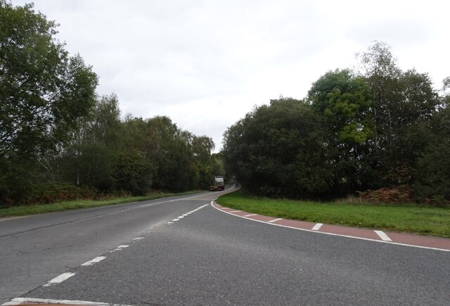
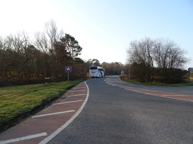
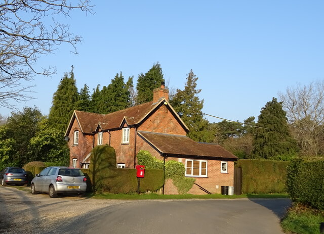
Wootton Coppice Inclosure is a picturesque woodland area located in Hampshire, England. This beautiful forest covers an area of approximately 120 hectares and is known for its diverse flora and fauna.
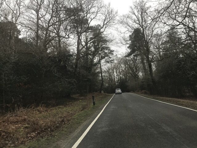
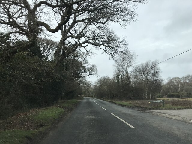
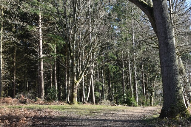
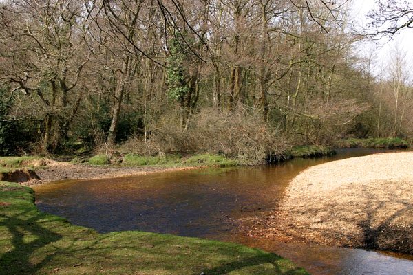
The woodland is predominantly made up of broadleaf trees such as oak, beech, and silver birch, which provide a rich habitat for a variety of wildlife. The forest floor is covered with a carpet of bluebells during the spring, creating a stunning display of colors.
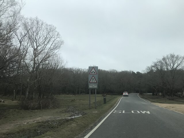
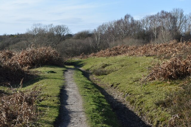
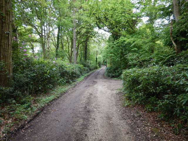
Wootton Coppice Inclosure is a popular destination for nature lovers, hikers, and birdwatchers. The forest is home to a wide range of bird species including woodpeckers, owls, and various songbirds. Visitors can spot these birds and enjoy their melodious tunes while exploring the well-maintained trails that wind through the woodland.
In addition to its natural beauty, Wootton Coppice Inclosure also has historical significance. The area was once used for charcoal production during the 18th and 19th centuries. Remnants of the charcoal kilns can still be seen within the forest, offering a glimpse into the past.
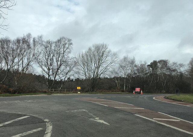
The woodland is managed by the Forestry Commission, which ensures the preservation of its natural resources and the protection of its wildlife. They provide information boards and maps at the entrance of the inclosure to guide visitors and educate them about the flora and fauna.
Overall, Wootton Coppice Inclosure is a haven of tranquility and natural beauty. Its combination of stunning landscapes, diverse wildlife, and historical remnants make it a must-visit destination for nature enthusiasts and history buffs alike.
If you have any feedback on the listing, please let us know in the comments section below.
Wootton Coppice Inclosure Images
Images are sourced within 2km of 50.796006/-1.659023 or Grid Reference SZ2499. Thanks to Geograph Open Source API. All images are credited.


Wootton Coppice Inclosure is located at Grid Ref: SZ2499 (Lat: 50.796006, Lng: -1.659023)
Administrative County: Hampshire
District: New Forest
Police Authority: Hampshire
What 3 Words
///ombudsman.solder.parrot. Near Sway, Hampshire
Nearby Locations
Related Wikis

Holmsley railway station
Holmsley is a closed railway station in the county of Hampshire which served rural settlements in the New Forest. == History == The station was opened...

Wootton, New Forest
Wootton is a hamlet in the civil parish of New Milton in Hampshire, England. It is in the south of the New Forest. == Overview == Wootton is just north...

Ossemsley
Ossemsley is an extended hamlet in the New Forest National Park of Hampshire, England. It lies close to the village of Bashley. The nearest town is New...

New Forest West (UK Parliament constituency)
New Forest West is a constituency represented in the House of Commons of the UK Parliament since 1997 by Desmond Swayne, a Conservative. == Constituency... ==

Tiptoe, Hampshire
Tiptoe is a small Hamlet in the New Forest National Park in Hampshire. It lies mostly within the civil parish of Hordle and partly within the civil parish...

Bashley, Hampshire
Bashley is a chapelry in the New Forest (in the south west of Hampshire) England. It takes up the north of New Milton civil parish of a type having a town...

Bashley F.C.
Bashley Football Club is a football club based in Bashley, near New Milton, Hampshire, England. They are currently members of the Southern League Division...
Avon Water, Hampshire
Avon Water is a small river draining some of the southwest of the New Forest in Hampshire to The Solent. West of the upper part of its archetypally dendritic...
Nearby Amenities
Located within 500m of 50.796006,-1.659023Have you been to Wootton Coppice Inclosure?
Leave your review of Wootton Coppice Inclosure below (or comments, questions and feedback).