Bramley Wood
Wood, Forest in Derbyshire Derbyshire Dales
England
Bramley Wood
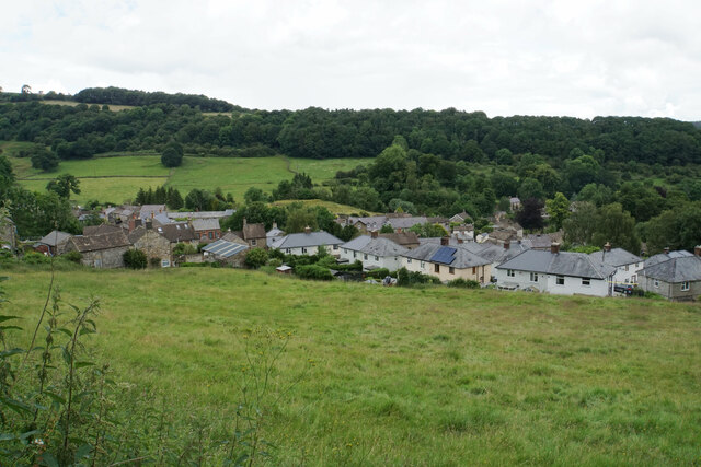
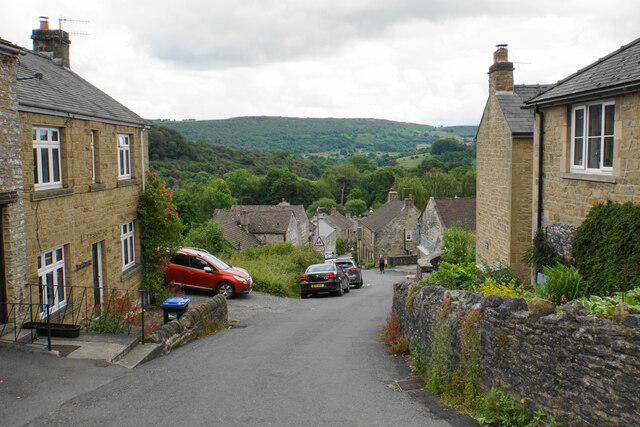
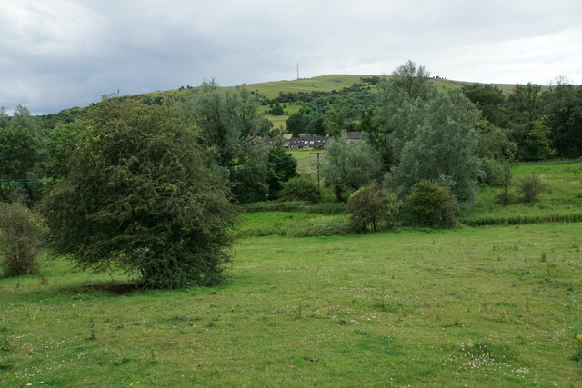
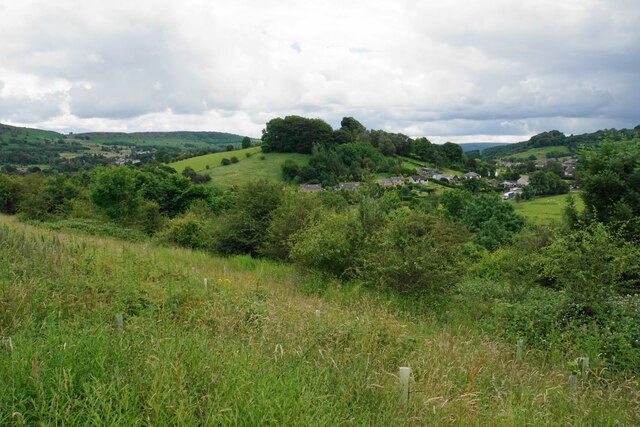
Bramley Wood is a picturesque woodland located in Derbyshire, England. Covering an area of approximately 100 acres, it is one of the largest woodlands in the region. The wood is situated on the outskirts of the village of Bramley, surrounded by rolling hills and countryside, offering visitors a tranquil and scenic environment.
The wood is primarily composed of deciduous trees, including oak, beech, and birch, which create a dense canopy that provides shade and shelter for various wildlife species. It is a designated Site of Special Scientific Interest (SSSI) due to its rich biodiversity and importance in supporting a wide range of flora and fauna.
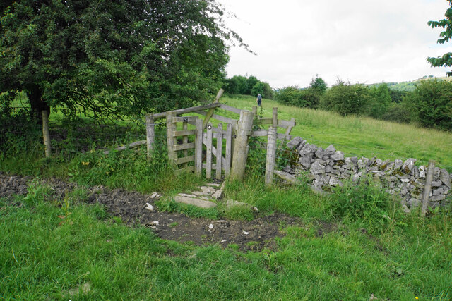
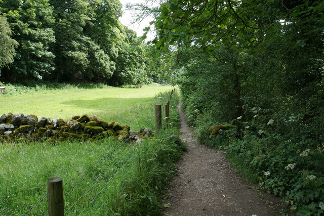
Walking through Bramley Wood offers an opportunity to witness nature at its finest, with a network of well-maintained footpaths that guide visitors through the different sections of the woodland. The paths meander through vibrant wildflower meadows, ancient woodland areas, and alongside a babbling brook that adds to the serenity of the surroundings.
The wood is home to a diverse array of wildlife, including deer, foxes, badgers, and numerous species of birds, making it a popular spot for birdwatching enthusiasts. In addition to its natural beauty, Bramley Wood also boasts a rich cultural history, with remnants of ancient settlements and charcoal pits dating back to the Iron Age, providing insights into the area's past.
Overall, Bramley Wood is a haven for nature lovers and those seeking a peaceful retreat in the heart of Derbyshire. Its combination of stunning landscapes, diverse wildlife, and historical significance make it a must-visit destination for locals and tourists alike.
If you have any feedback on the listing, please let us know in the comments section below.
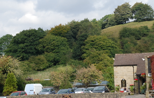
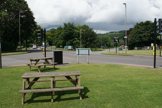
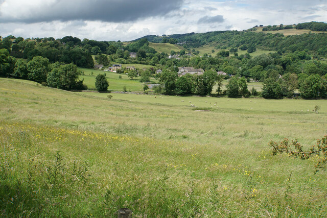
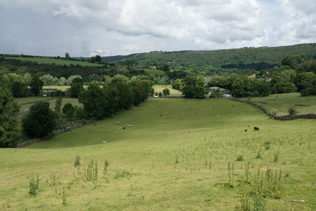
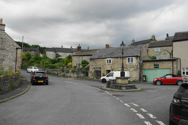
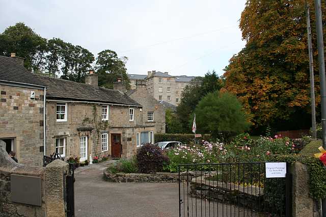
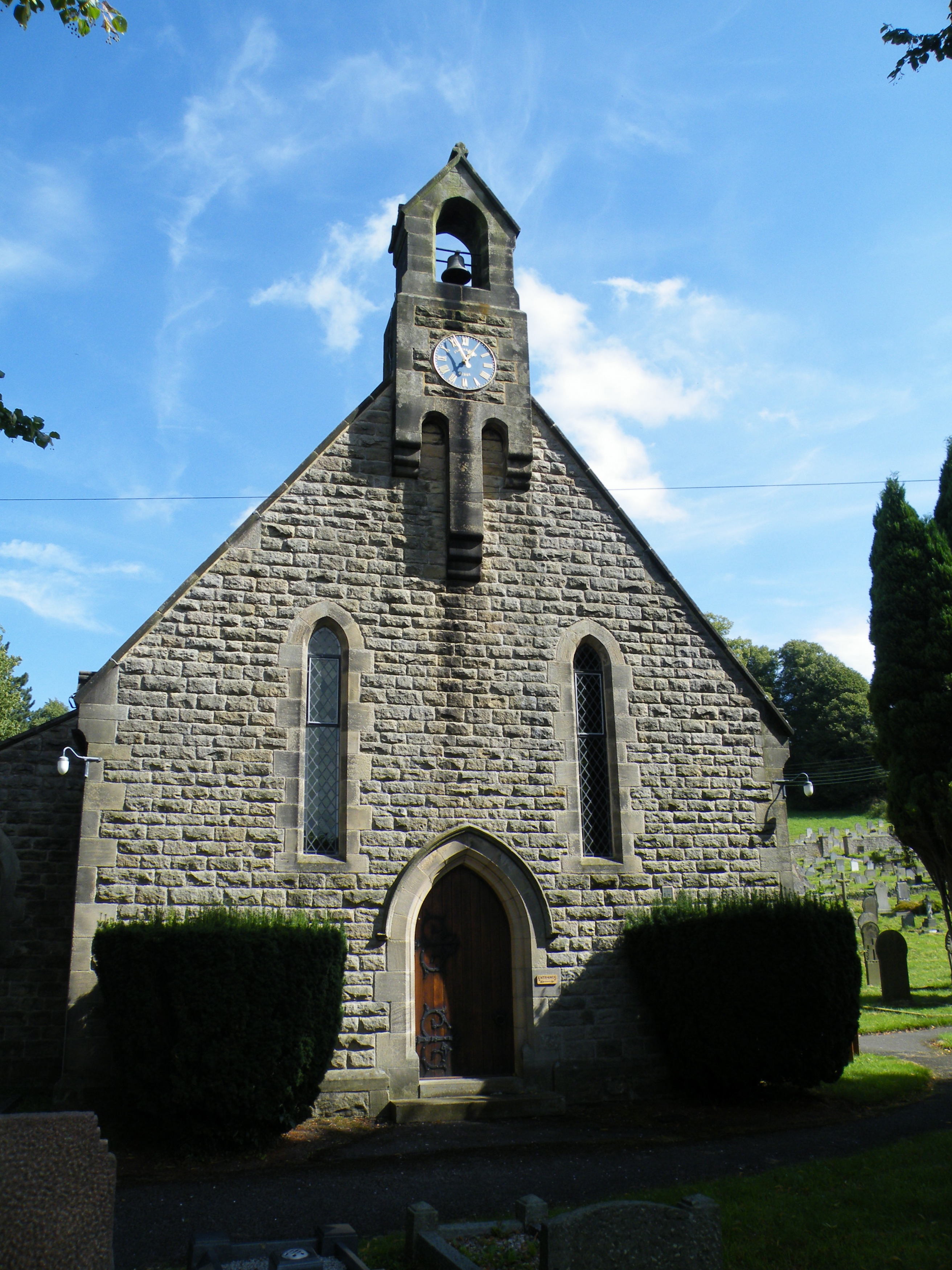
Bramley Wood Images
Images are sourced within 2km of 53.260913/-1.6410471 or Grid Reference SK2473. Thanks to Geograph Open Source API. All images are credited.


Bramley Wood is located at Grid Ref: SK2473 (Lat: 53.260913, Lng: -1.6410471)
Administrative County: Derbyshire
District: Derbyshire Dales
Police Authority: Derbyshire
What 3 Words
///bookshop.messing.tinkle. Near Baslow, Derbyshire
Nearby Locations
Related Wikis
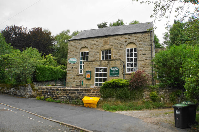
Calver
Calver (Old English Calf Slope) is a village and civil parish in Derbyshire, England. The population of the civil parish at the 2011 census was 710....
All Saints' Church, Curbar
All Saints’ Church, Curbar is a Church of England parish church in Curbar, Derbyshire. == History == Until the church was built, the nearest parish church...

Cliff College
Cliff College is a Christian theological college in Calver, Derbyshire, that teaches Biblical Theology at the undergraduate level and a number of mission...

Curbar
Curbar is a village and civil parish in the Derbyshire Dales district of Derbyshire, England. The population based on the 2011 Census was 417. Curbar is...

Baslow Hall
Baslow Hall is a Grade II listed building in Baslow, Derbyshire. == History == Baslow Hall, just off Calver Road, was built in 1907 to the designs of the...
Upper Derwent Valley
The Upper Derwent Valley is an area of the Peak District National Park in England. It largely lies in Derbyshire, but its north eastern area lies in Sheffield...
Middleton Hall, Stoney Middleton
Middleton Hall is a restored 17th-century country house at Stoney Middleton, Derbyshire. It is a Grade II listed building.The house was built in the mid...

St Martin's Church, Stoney Middleton
St Martin's Church is a Grade II* listed parish church in the Church of England in Stoney Middleton, Derbyshire. == History == The church dates from the...
Nearby Amenities
Located within 500m of 53.260913,-1.6410471Have you been to Bramley Wood?
Leave your review of Bramley Wood below (or comments, questions and feedback).