Victoria Copse

Wood, Forest in Hampshire Test Valley

England

Victoria Copse

Outdoor Seating Area, Cholderton Farm Shop and Cafe
Outdoor Seating Area, Cholderton Farm Shop and Cafe Credit: Paul Collins

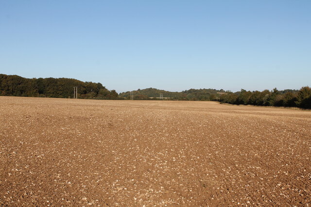
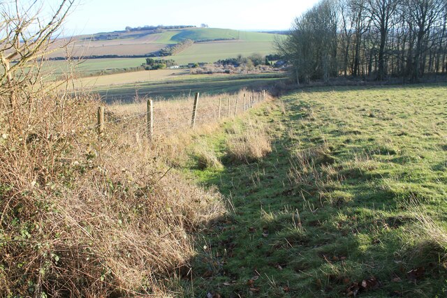
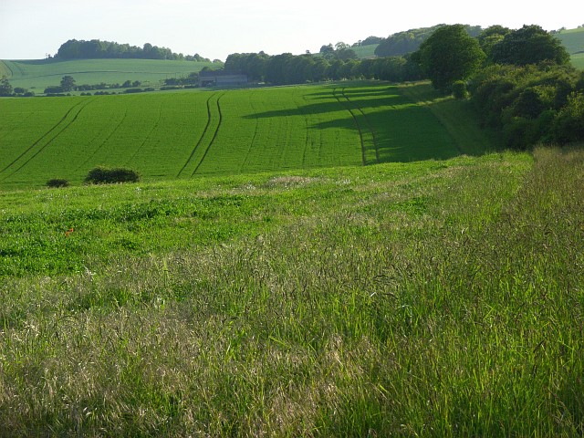
Victoria Copse is a picturesque wood located in Hampshire, England. Covering an area of approximately 100 acres, it is a popular destination for nature lovers and outdoor enthusiasts. The copse is situated on the outskirts of a small village, surrounded by rolling hills and stunning countryside.

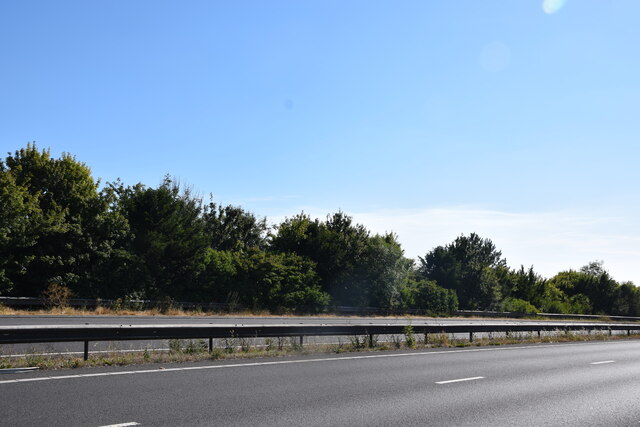
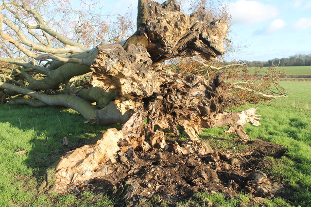
The woodland is predominantly composed of a variety of tree species, including oak, beech, and birch. These tall, majestic trees create a dense canopy, providing shade and shelter for numerous wildlife species. The forest floor is covered in a thick carpet of moss, ferns, and wildflowers, adding to the enchanting atmosphere of the copse.

Victoria Copse is home to a diverse range of flora and fauna. Visitors can spot an array of bird species, such as woodpeckers, owls, and songbirds, fluttering among the branches. Squirrels scurry along the tree trunks, while rabbits and deer can occasionally be seen grazing in the open patches of grass.

There are several walking trails that wind their way through the copse, offering visitors the opportunity to explore and immerse themselves in the natural beauty of the area. Along these paths, there are informative signs that provide interesting facts about the local wildlife and history of the woodland.

The copse is a haven for nature enthusiasts, offering a tranquil retreat from the hustle and bustle of everyday life. Whether it's a leisurely stroll, birdwatching, or simply enjoying a picnic amidst the serene surroundings, Victoria Copse provides a peaceful and idyllic escape into nature.

If you have any feedback on the listing, please let us know in the comments section below.

Victoria Copse Images

Images are sourced within 2km of 51.183821/-1.6578172 or Grid Reference SU2442. Thanks to Geograph Open Source API. All images are credited.

Outdoor Seating Area, Cholderton Farm Shop and Cafe
Home Farm, Cholderton The farm boasts the popular Cholderton Farm Shop and Cafe. The shepherd's hut hasn't altered much in 10 years <a href="https://www.geograph.org.uk/photo/2834040">SU2342 : Drive, Home Farm</a>.
Home Farm, Cholderton
The farm boasts the popular Cholderton Farm Shop and Cafe. The shepherd's hut hasn't altered much in 10 years SU2342 : Drive, Home Farm.
View towards Thruxton Farm Taken just to the south of the A303.
View towards Thruxton Farm
Taken just to the south of the A303.
A303 Looking across the A303 at the end of the cutting on Thruxton Hill.
A303
Looking across the A303 at the end of the cutting on Thruxton Hill.
Big Cowden field, Cholderton, fallen tree Fallen tree (with arborglyph - see earlier photo <a title="https://www.geograph.org.uk/photo/6054096)" href="https://www.geograph.org.uk/photo/6054096)">Link</a>
Big Cowden field, Cholderton, fallen tree
Fallen tree (with arborglyph - see earlier photo Link
Tin Can Copse, Cholderton Tin Can Copse is a sad remnant of a small copse of trees situated on the boundary of Big Cowden field and the edge of the Bourne valley floodplain. It gets its name from the hollow in the middle being used as a rubbish dump during the mid/late 19th-early/mid 20th century.
Tin Can Copse, Cholderton
Tin Can Copse is a sad remnant of a small copse of trees situated on the boundary of Big Cowden field and the edge of the Bourne valley floodplain. It gets its name from the hollow in the middle being used as a rubbish dump during the mid/late 19th-early/mid 20th century.
Big Cowden field, Cholderton, fallen tree The northern and first to fall of two trees in the middle of Big Cowden field (the tree on the left in <a title="https://www.geograph.org.uk/photo/6054093)" href="https://www.geograph.org.uk/photo/6054093)">Link</a>. The uprooted tree bowl shows the underlying soliflucted chalk overlain by Clay-with-flints still attached to the roots.
Big Cowden field, Cholderton, fallen tree
The northern and first to fall of two trees in the middle of Big Cowden field (the tree on the left in Link. The uprooted tree bowl shows the underlying soliflucted chalk overlain by Clay-with-flints still attached to the roots.
Big AA Box field, Cholderton Looking across Big AA Box field towards Thruxton Hill. The woodland at the end of the field marks the county boundary marked by a late Bronze Age linear ditch running along the field boundary. The field name derives from the AA box that used to stand in the lay-by of the old A303: the modern dual carriageway runs behind the hedge on the right.
Big AA Box field, Cholderton
Looking across Big AA Box field towards Thruxton Hill. The woodland at the end of the field marks the county boundary marked by a late Bronze Age linear ditch running along the field boundary. The field name derives from the AA box that used to stand in the lay-by of the old A303: the modern dual carriageway runs behind the hedge on the right.
Quarley High Bronze Age linear ditch Section of the Quarley High late Bronze Age linear ditch surviving as an earth work along the eastern boundary of Horseshoe Meadow field, Amport. The view is looking towards Quarley hill fort, where the ditch joins to the Quarley Low linear ditch.
Quarley High Bronze Age linear ditch
Section of the Quarley High late Bronze Age linear ditch surviving as an earth work along the eastern boundary of Horseshoe Meadow field, Amport. The view is looking towards Quarley hill fort, where the ditch joins to the Quarley Low linear ditch.
Parkhouse Field, Cholderton Top Parkhouse field, recently ploughed looking across to Parkhouse Cross and beyond Snoddington Down on the horizon.
Parkhouse Field, Cholderton
Top Parkhouse field, recently ploughed looking across to Parkhouse Cross and beyond Snoddington Down on the horizon.
Parkhouse Field, Cholderton Looking across Top Parkhouse Field to Beacon Hill, with tractor and water trough.
Parkhouse Field, Cholderton
Looking across Top Parkhouse Field to Beacon Hill, with tractor and water trough.
Grateley Lodge Grateley Lodge is a lodge at the end of a lane. The lodge is part of Wilbury House (a Grade II listed park and garden), list entry number 1001245 <span class="nowrap"><a title="https://historicengland.org.uk/listing/the-list/list-entry/1001245" rel="nofollow ugc noopener" href="https://historicengland.org.uk/listing/the-list/list-entry/1001245">Link</a><img style="margin-left:2px;" alt="External link" title="External link - shift click to open in new window" src="https://s1.geograph.org.uk/img/external.png" width="10" height="10"/></span>
Grateley Lodge
Grateley Lodge is a lodge at the end of a lane. The lodge is part of Wilbury House (a Grade II listed park and garden), list entry number 1001245 LinkExternal link
Byway towards Grateley Lodge A byway heading towards Grateley Lodge.
Byway towards Grateley Lodge
A byway heading towards Grateley Lodge.
Field south east of Grateley Lodge A field to the south east of Grateley Lodge.
Field south east of Grateley Lodge
A field to the south east of Grateley Lodge.
Long Walk Plantation track A track through Long Walk Plantation.
Long Walk Plantation track
A track through Long Walk Plantation.
St Nicholas, Cholderton: September 2023
St Nicholas, Cholderton: CWGC grave For Jackman's service record see <span class="nowrap"><a title="https://www.cwgc.org/find-records/find-war-dead/casualty-details/2709902/harold-bartholomew-jackman/" rel="nofollow ugc noopener" href="https://www.cwgc.org/find-records/find-war-dead/casualty-details/2709902/harold-bartholomew-jackman/">Link</a><img style="margin-left:2px;" alt="External link" title="External link - shift click to open in new window" src="https://s1.geograph.org.uk/img/external.png" width="10" height="10"/></span>
St Nicholas, Cholderton: CWGC grave
For Jackman's service record see LinkExternal link
St Nicholas, Cholderton: "spire"
Show me another place!

Victoria Copse is located at Grid Ref: SU2442 (Lat: 51.183821, Lng: -1.6578172)

Administrative County: Hampshire

District: Test Valley

Police Authority: Hampshire

What 3 Words

///mixing.frame.author. Near Allington, Wiltshire

Related Wikis

Battle of the Beanfield

The Battle of the Beanfield took place over several hours on 1 June 1985, when Wiltshire Police prevented The Peace Convoy, a convoy of several hundred...

Cholderton

Cholderton, or more properly West Cholderton, is a village and civil parish in the Bourne Valley of Wiltshire, England. The village is about 4 miles (6...

Snoddington

Snoddington is a small hamlet in Hampshire and close to the border of Wiltshire near to Thruxton Aerodrome and first mentioned in the eleventh century...

Quarley Hill Fort

Quarley Hill Fort is a 3.5-hectare (8.6-acre) biological Site of Special Scientific Interest west of Grateley in Hampshire.Quarley hillfort is a hillfort...

Quarley Hill

Quarley Hill is the site of an Iron Age univallate hill fort in Hampshire, southern England. The hill affords commanding views of the surrounding countryside...

Wilbury House

Wilbury House or Wilbury Park is an 18th-century Neo-Palladian country house in the parish of Newton Tony, Wiltshire in South West England, about 8.7 miles...

Shipton Bellinger

Shipton Bellinger is a village and civil parish in Hampshire, England. Shipton Bellinger is about 5 miles (8 km) north-east of the town of Amesbury and...

Palestine, Hampshire

Palestine is a village which lies in the civil parish of Over Wallop, approximately 7 miles (11 km) south-west of Andover, in Hampshire, England. It consists...

Have you been to Victoria Copse?

Leave your review of Victoria Copse below (or comments, questions and feedback).