Deadman's Green

Settlement in Staffordshire Staffordshire Moorlands

England

Deadman's Green

Steep hill at Leigh Bank This is the valley of the River Tean, a Staffordshire tributary of the River Dove
Steep hill at Leigh Bank Credit: Alan Murray-Rust

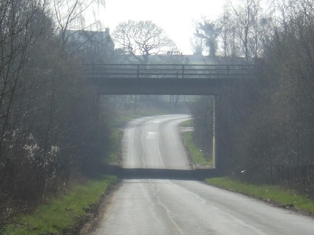
Deadman's Green is a small village located in the county of Staffordshire, England. Situated in the picturesque countryside, the village is surrounded by rolling hills and fields, offering a tranquil and peaceful atmosphere for its residents and visitors alike. The village is part of the wider Cannock Chase district and is located approximately 6 miles north of the town of Cannock.

With a population of around 500 people, Deadman's Green retains a close-knit community feel. The village is characterized by its charming, traditional architecture, with many houses dating back to the 18th and 19th centuries. The village center features a small green area, giving it its name, where locals gather for community events and leisure activities.

Although predominantly residential, Deadman's Green benefits from its proximity to the larger town of Cannock, which provides access to a wider range of amenities and services. The village also boasts several local businesses, including a cozy country pub, a convenience store, and a few small shops.

Nature enthusiasts are drawn to Deadman's Green due to its proximity to Cannock Chase, an Area of Outstanding Natural Beauty. This vast expanse of heathland and forest offers numerous walking and cycling trails, making it a popular destination for outdoor activities.

Overall, Deadman's Green offers a charming and peaceful rural environment, making it an attractive place to live or visit for those seeking a slower pace of life and a connection with nature.

If you have any feedback on the listing, please let us know in the comments section below.

Deadman's Green Images

Images are sourced within 2km of 52.935767/-1.947892 or Grid Reference SK0337. Thanks to Geograph Open Source API. All images are credited.

Steep hill at Leigh Bank This is the valley of the River Tean, a Staffordshire tributary of the River Dove
Steep hill at Leigh Bank
This is the valley of the River Tean, a Staffordshire tributary of the River Dove
Hey Bridge, Lower Tean Twin arch bridge over the River Tean at Lower Tean
Hey Bridge, Lower Tean
Twin arch bridge over the River Tean at Lower Tean
Farm buildings at Park Hall. Clearly there has been a settlement here for a long time; the OS map indicates the presence of an ancient moat.
Farm buildings at Park Hall.
Clearly there has been a settlement here for a long time; the OS map indicates the presence of an ancient moat.
Checkley Village
Checkley Village
Checkley Cricket Club . . . with a rain-obscured view across the valley of the River Tean
Checkley Cricket Club
. . . with a rain-obscured view across the valley of the River Tean
Farmland near Withington The woodland on the horizon carries the name Hell Clough
Farmland near Withington
The woodland on the horizon carries the name Hell Clough
A522 at Deadman's Green This was the old A50 from Leicester to the Potteries. Before the opening of the new dual carriageway A50, there was a constant stream of traffic along here.
A522 at Deadman's Green
This was the old A50 from Leicester to the Potteries. Before the opening of the new dual carriageway A50, there was a constant stream of traffic along here.
Buildings at Fole Farm This is an old established farm from at least the mid-18th century, improved with new building around 1846.
I am indebted to a former resident of this farm for the information and dates.
Buildings at Fole Farm
This is an old established farm from at least the mid-18th century, improved with new building around 1846. I am indebted to a former resident of this farm for the information and dates.
Fole Bridge - where to next? In practice the main road makes a sharp turn to the left on the other side of the bridge.
Fole Bridge - where to next?
In practice the main road makes a sharp turn to the left on the other side of the bridge.
Field pond, Checkley
Fields above Checkley
Overton Farm, near Hollington
Church Lane, Checkley This view is looking west along Church Lane, Checkley. The building in the distance is the Red Lion public house. To the right in the foreground is the memorial garden with the World War II memorial calved in local Hollington stone. Through the trees on the right can just be seen the church.
Church Lane, Checkley
This view is looking west along Church Lane, Checkley. The building in the distance is the Red Lion public house. To the right in the foreground is the memorial garden with the World War II memorial calved in local Hollington stone. Through the trees on the right can just be seen the church.
St Mary and All Saints Church, Checkley The tower of the church is supposed to date from 1120 AD.
St Mary and All Saints Church, Checkley
The tower of the church is supposed to date from 1120 AD.
A50 Crossing Leigh Lane
A50 crossing Fole Lane
The New Broom
The New Broom
Hey Bridge - River Tean Grade 2 listed mid-19th century bridge over the River Tean.
Hey Bridge - River Tean
Grade 2 listed mid-19th century bridge over the River Tean.
Show me another place!

Deadman's Green is located at Grid Ref: SK0337 (Lat: 52.935767, Lng: -1.947892)

Administrative County: Staffordshire

District: Staffordshire Moorlands

Police Authority: Staffordshire

What 3 Words

///pipes.exploring.broad. Near Cheadle, Staffordshire

Nearby Locations

Deadman's Green

Related Wikis

St Mary's and All Saints' Church, Checkley

St Mary's and All Saints' Church is an Anglican church in the village of Checkley, Staffordshire, England. It is a Grade I listed building. The oldest...
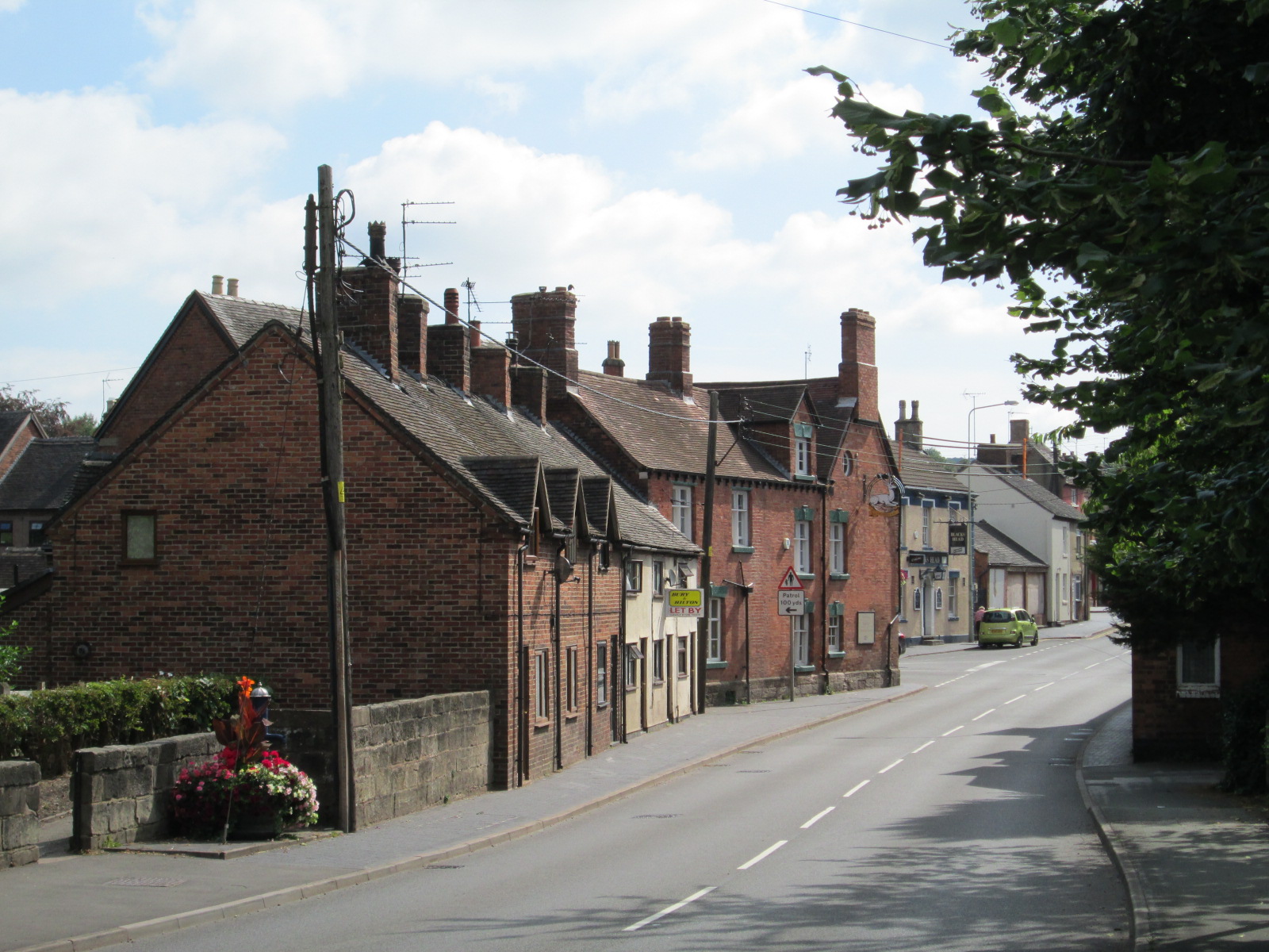
Checkley

Checkley is a village and civil parish in the district of Staffordshire Moorlands in the English county of Staffordshire. == Location == The village is...

Uttoxeter Road

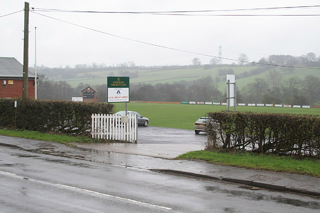
Uttoxeter Road (also known as Four Trees) is a cricket ground located along the Uttoxeter Road between the villages of Lower Tean and Checkley in Staffordshire...

Leigh, Staffordshire

Leigh is a civil parish in the English county of Staffordshire. The parish includes the village of Church Leigh, together with the settlements of Withington...

Hollington, Staffordshire

Hollington is a village in the Staffordshire Moorlands in English county of Staffordshire. There are several villages of this same name, and there is a...

Beamhurst

Beamhurst is a village in Staffordshire, England. For population details taken at the 2011 census see Croxden. == References ==

Leigh railway station (Staffordshire)

Leigh railway station was a railway station in Staffordshire, England. The railway line between Stoke-on-Trent and Uttoxeter was opened by the North Staffordshire...

Tean, Staffordshire

Tean is a large village in Staffordshire, England. It is around 15 miles (24 km) south-east of Stoke-on-Trent. The River Tean runs through the village...

Nearby Amenities

Located within 500m of 52.935767,-1.947892
Bus Stop
Old Lane
Bus: yes
Naptan AtcoCode: 3800C835001
Naptan Bearing: NW
Naptan CommonName: Old Lane
Naptan Indicator: Opp
Naptan Landmark: Old Lane
Naptan Street: Uttoxeter Road
Naptan Verified: no
Public Transport: platform
Source: naptan_import
Lat/Long: 52.9369257/-1.9486967
Bus Stop
Green Park
Bus: yes
Naptan AtcoCode: 3800C835002
Naptan Bearing: W
Naptan CommonName: Green Park
Naptan Indicator: Adj
Naptan Street: Uttoxeter Road
Naptan Verified: no
Public Transport: platform
Source: naptan_import
Lat/Long: 52.9371781/-1.9503332
The data included in this document is from www.openstreetmap.org. The data is made available under ODbL.

Have you been to Deadman's Green?

Leave your review of Deadman's Green below (or comments, questions and feedback).