Botany Coppice
Wood, Forest in Gloucestershire Cotswold
England
Botany Coppice

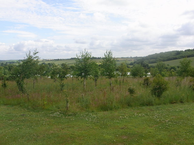
Botany Coppice is a picturesque woodland located in Gloucestershire, England. Situated in the heart of the Cotswolds, this forested area covers approximately 50 acres of land. The name "Botany Coppice" derives from the historical practice of coppicing, a traditional method of woodland management.
The woodland is characterized by a diverse range of tree species, including oak, beech, ash, and birch. The trees are densely packed, creating a lush and verdant canopy that provides a habitat for various wildlife species. Bluebells, primroses, and wild garlic can be found carpeting the forest floor during the spring months, adding a vibrant burst of color to the landscape.
The woodland is crisscrossed by a network of well-maintained footpaths, allowing visitors to explore and immerse themselves in nature. These paths lead to various points of interest, such as a tranquil pond and a small meadow. Birdwatchers will be delighted by the presence of numerous avian species, including woodpeckers, jays, and tawny owls.
Botany Coppice is a popular destination for outdoor enthusiasts, offering opportunities for walking, hiking, and nature photography. The peaceful and serene atmosphere makes it an ideal place for relaxation and mindfulness. The forest also holds educational value, as it provides a living classroom for schools and nature enthusiasts interested in learning about the local flora and fauna.
Overall, Botany Coppice is a natural gem nestled within the Gloucestershire countryside, offering a tranquil retreat for those seeking solace in the beauty of nature.
If you have any feedback on the listing, please let us know in the comments section below.
Botany Coppice Images
Images are sourced within 2km of 52.004873/-1.6536068 or Grid Reference SP2334. Thanks to Geograph Open Source API. All images are credited.

![The view from Salter's Well [1] Looking northwest from the bridleway near Salter&#039;s Well (a spring) over delicious Cotswold countryside. The buildings to the left are Oakhouse Farm. To the right on the skyline can be seen the distinctive twin communication towers atop Ilmington Hill, some 8 miles distant.](https://s3.geograph.org.uk/geophotos/02/35/57/2355743_7cd20170.jpg)


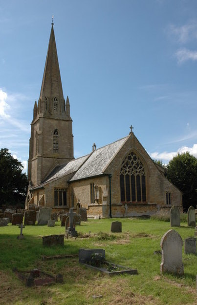
![Parish church [1] The church of St Michael was completely rebuilt in 1833 and restored in 1885. It is listed grade II and more details are at: <span class="nowrap"><a title="http://www.britishlistedbuildings.co.uk/en-305983-church-of-st-michael-great-wolford" rel="nofollow ugc noopener" href="http://www.britishlistedbuildings.co.uk/en-305983-church-of-st-michael-great-wolford">Link</a><img style="margin-left:2px;" alt="External link" title="External link - shift click to open in new window" src="https://s1.geograph.org.uk/img/external.png" width="10" height="10"/></span>](https://s3.geograph.org.uk/geophotos/02/99/22/2992219_5fa4f9ad.jpg)
Botany Coppice is located at Grid Ref: SP2334 (Lat: 52.004873, Lng: -1.6536068)
Administrative County: Gloucestershire
District: Cotswold
Police Authority: Gloucestershire
What 3 Words
///gems.blackmail.shirts. Near Moreton in Marsh, Gloucestershire
Nearby Locations
Related Wikis
Great Wolford
Great Wolford is a village and civil parish in the Stratford-on-Avon district of Warwickshire, England. With the neighbouring parish of Little Wolford...
Todenham
Todenham is a village and civil parish in the Cotswold district of Gloucestershire, England. The village is significant for its Grade I listed 14th-century...

Church of St Leonard, Lower Lemington
The Anglican Church of St Leonard at Lower Lemington in the parish of Batsford in the Cotswold District of Gloucestershire, England was built in the 12th...
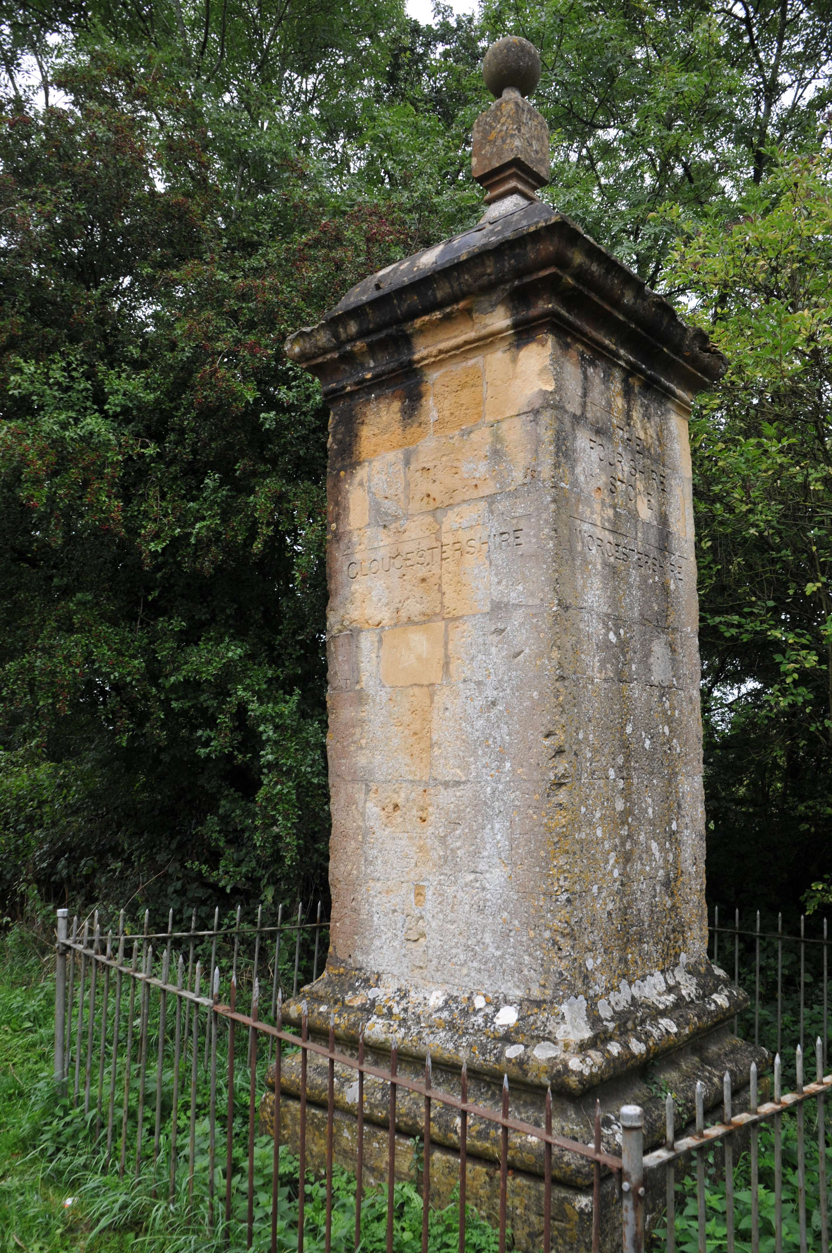
Four Shire Stone
The Four Shire Stone is a boundary marker that marks the place where the four historic English counties of Warwickshire, Oxfordshire, Gloucestershire,...
Fire Service College
The Fire Service College is responsible for providing leadership, management and advanced operational training courses for senior fire officers from the...
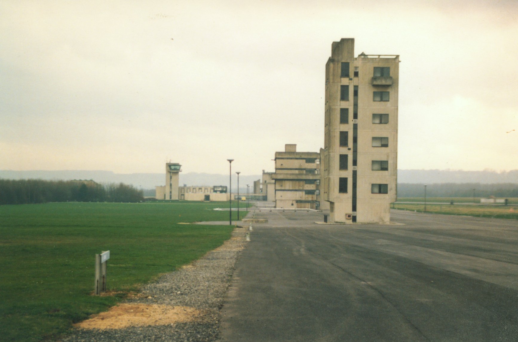
RAF Moreton-in-Marsh
RAF Moreton-in-Marsh was a Royal Air Force station near Moreton-in-Marsh, Gloucestershire. It was opened in November 1940 with three concrete and tarmac...
Barton-on-the-Heath
Barton-on-the-Heath is a village and civil parish in the Stratford-on-Avon district of Warwickshire, England. According to the 2001 census the parish...
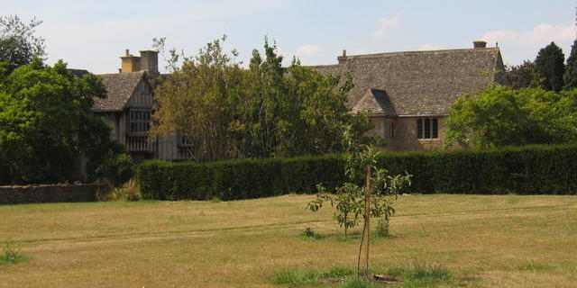
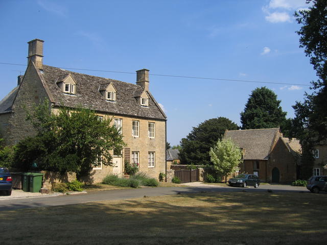
Little Wolford Manor
Little Wolford Manor is a Grade II* listed house in Little Wolford, Warwickshire, England.It has been a listed building since 1952, and dates back to...
Nearby Amenities
Located within 500m of 52.004873,-1.6536068Have you been to Botany Coppice?
Leave your review of Botany Coppice below (or comments, questions and feedback).