Magdalen Wood
Wood, Forest in Yorkshire Hambleton
England
Magdalen Wood
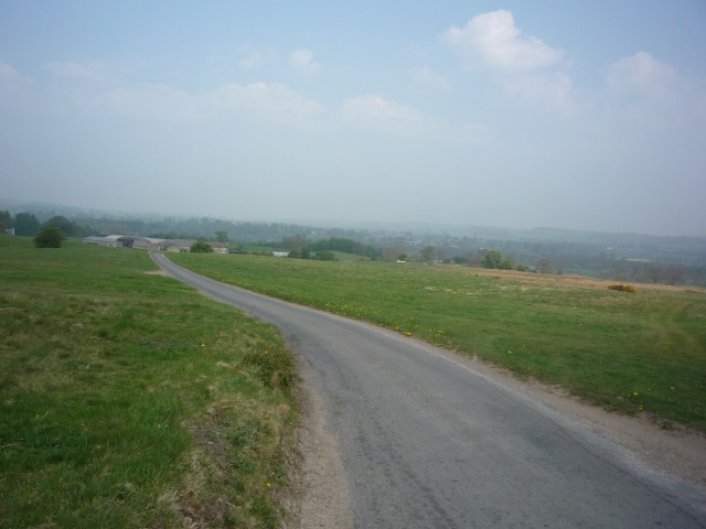
Magdalen Wood is a picturesque woodland located in Yorkshire, England. It is situated in the heart of the county, near the town of Ripon. Spanning over a vast area, it is a popular destination for nature lovers and outdoor enthusiasts.
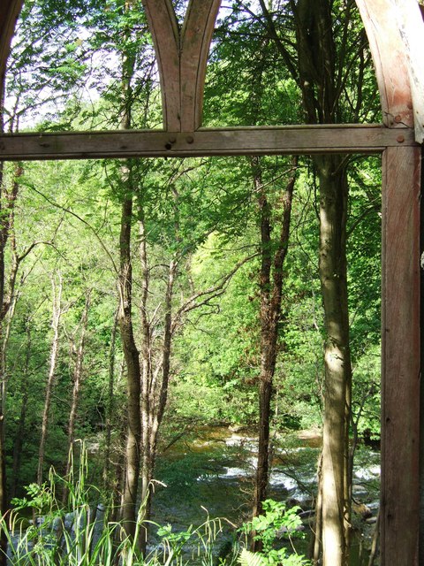
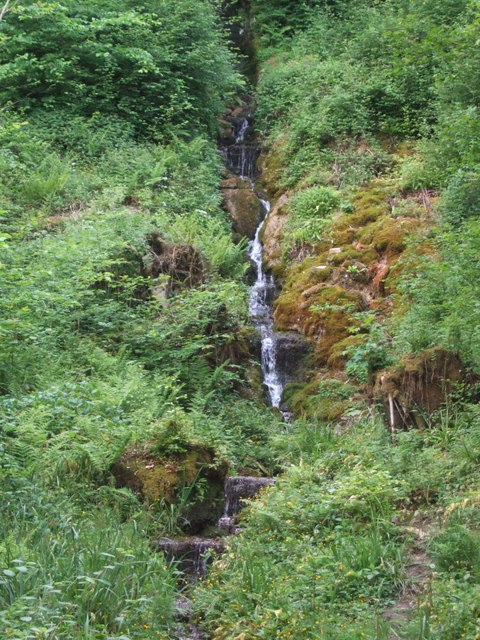
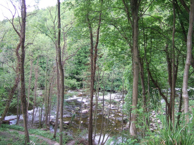
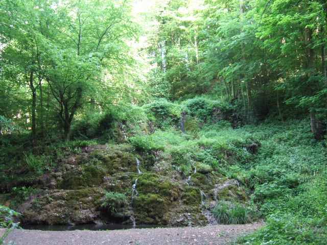
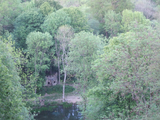
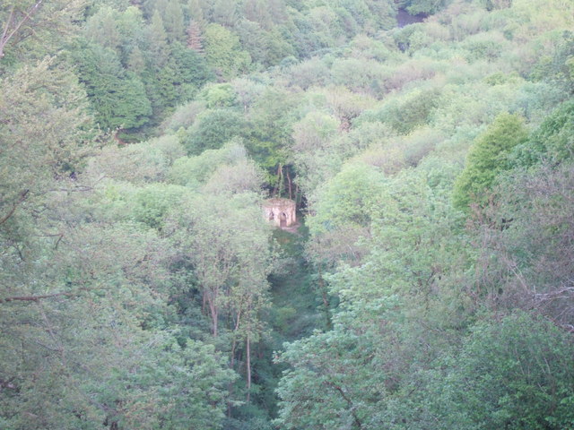
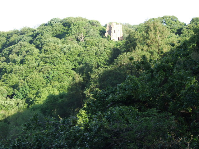
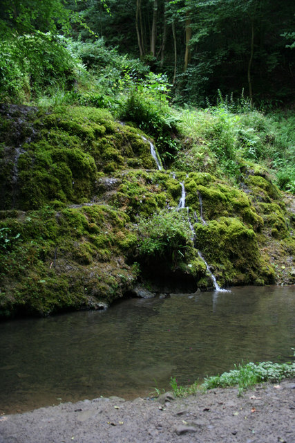
The woodland, also known as Magdalen Forest, is characterized by dense vegetation, towering trees, and a diverse range of wildlife. It offers a tranquil and peaceful environment, making it an ideal spot for those seeking a peaceful retreat from the hustle and bustle of city life. The forest is home to various species of birds, mammals, and insects, making it a haven for wildlife enthusiasts and birdwatchers.
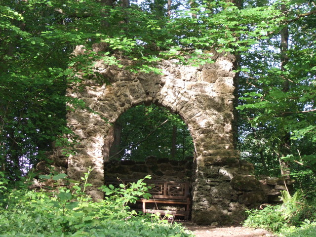
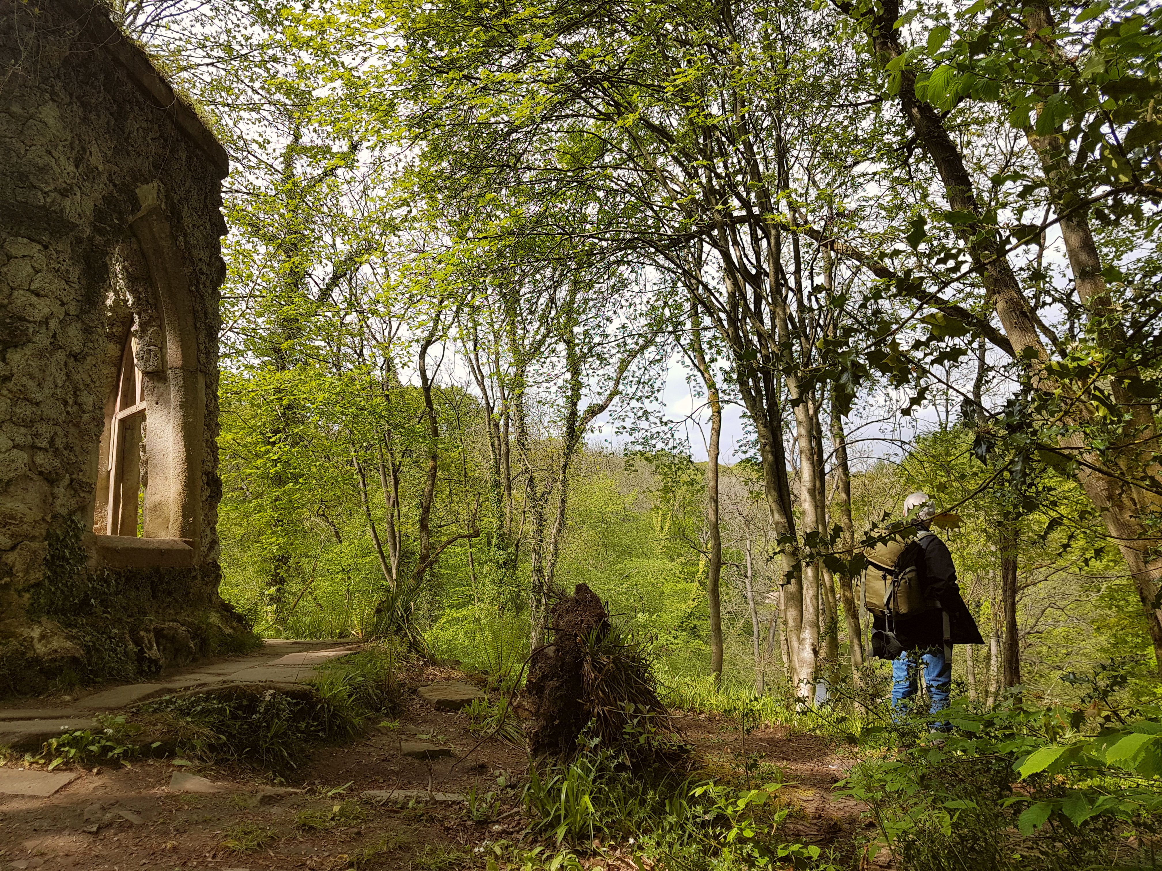
Visitors to Magdalen Wood can enjoy a plethora of activities. There are numerous walking trails and paths that wind through the forest, allowing visitors to explore its beauty at their own pace. The woodland is also popular for cycling, with designated tracks and routes available for riders of all abilities.
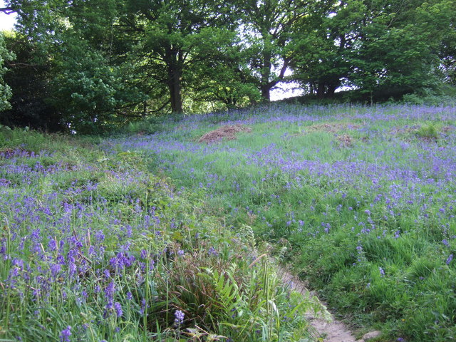
The natural beauty of Magdalen Wood changes with the seasons. In spring, the forest is adorned with colorful flowers and blossoms, while in autumn, the trees transform into a vibrant display of oranges and yellows. The woodland also boasts a small lake, adding to its scenic charm.
Magdalen Wood is a conservation area, and the management works tirelessly to preserve its natural beauty and protect the wildlife that inhabits it. The woodland also offers educational programs and guided tours to raise awareness about its ecological importance.
In conclusion, Magdalen Wood is a captivating forest in Yorkshire, offering a peaceful and enchanting escape for nature lovers. With its diverse wildlife, scenic beauty, and array of activities, it is an idyllic destination for those looking to immerse themselves in the wonders of the natural world.
If you have any feedback on the listing, please let us know in the comments section below.
Magdalen Wood Images
Images are sourced within 2km of 54.190673/-1.6358046 or Grid Reference SE2377. Thanks to Geograph Open Source API. All images are credited.


Magdalen Wood is located at Grid Ref: SE2377 (Lat: 54.190673, Lng: -1.6358046)
Division: North Riding
Administrative County: North Yorkshire
District: Hambleton
Police Authority: North Yorkshire
What 3 Words
///eyeliner.cheeks.pastime. Near Masham, North Yorkshire
Nearby Locations
Related Wikis
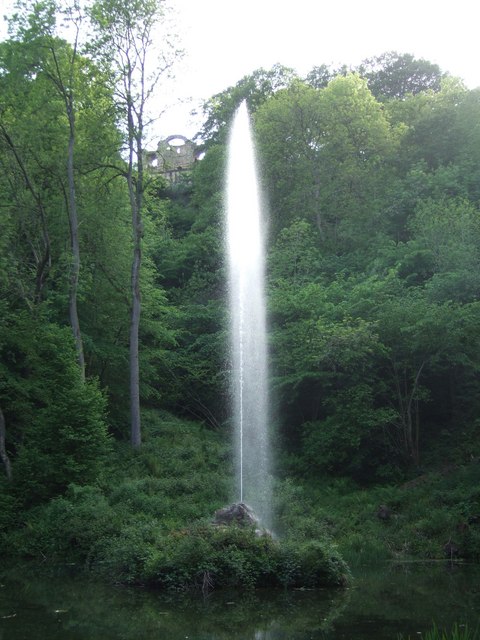
Hack Fall Wood
Hack Fall Wood, otherwise known as Hackfall, is a Site of Special Scientific Interest, or SSSI, of 44.8687 hectares (0.4487 km2; 0.1732 sq mi), lying north...

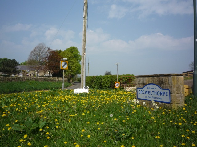
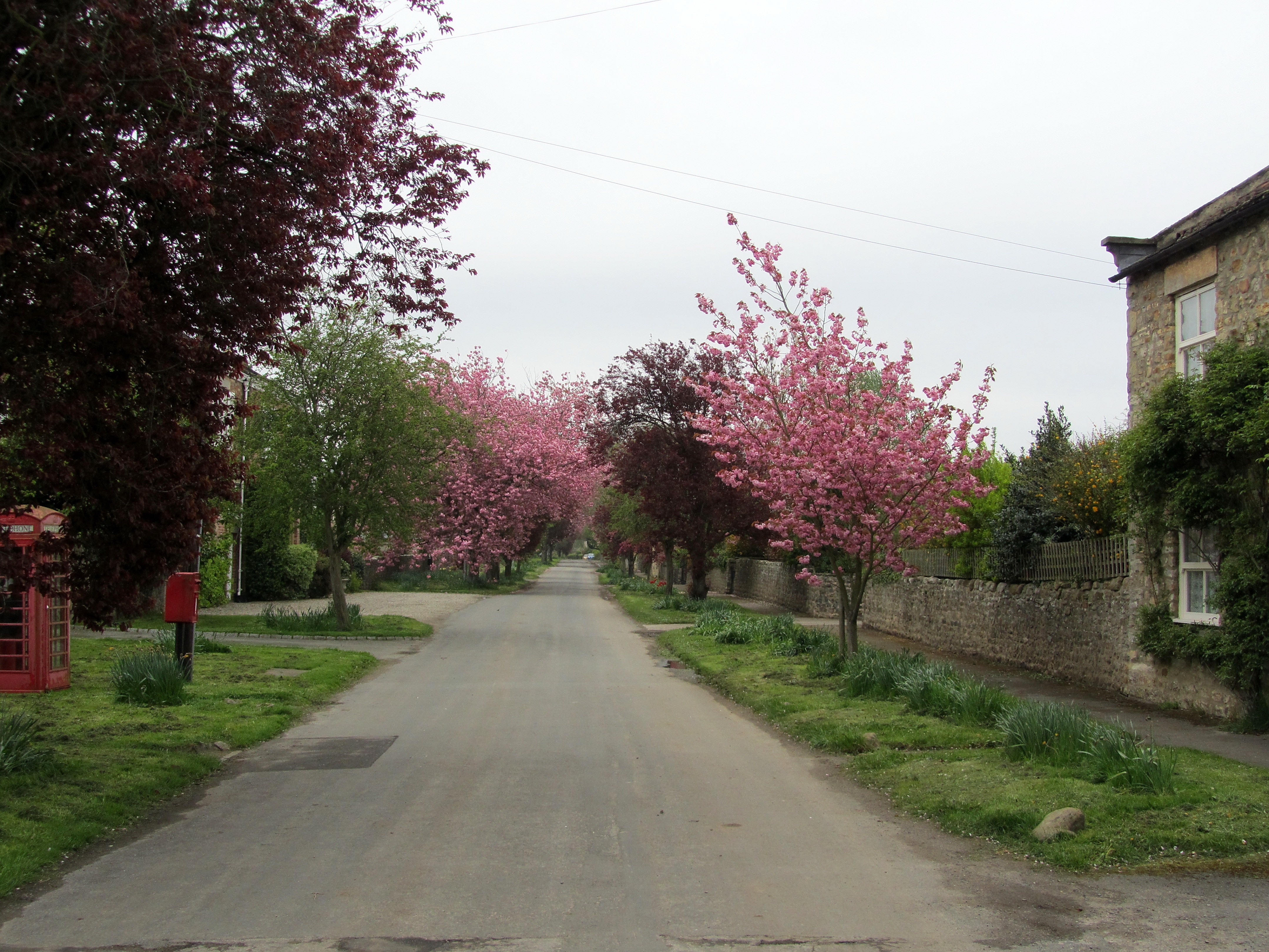
Grewelthorpe
Grewelthorpe is a village and civil parish in the Harrogate district of North Yorkshire, England situated 3 miles (5 km) south of Masham and 6.2 miles...
Mickley, North Yorkshire
Mickley is a village in the Harrogate District of North Yorkshire, England. The village is on the south bank of the River Ure between Masham and West Tanfield...
Binsoe
Binsoe is a hamlet in the civil parish of West Tanfield, North Yorkshire, England. The hamlet is just to the north of the A6108 road, being 1.25 miles...

Kirkby Malzeard
Kirkby Malzeard () is a village and civil parish in the Harrogate district of North Yorkshire, England. There has been a creamery in the village making...

Swinton with Warthermarske
Swinton with Warthermarske is a civil parish in Harrogate district, North Yorkshire, England. The parish includes the village of Swinton and the hamlets...
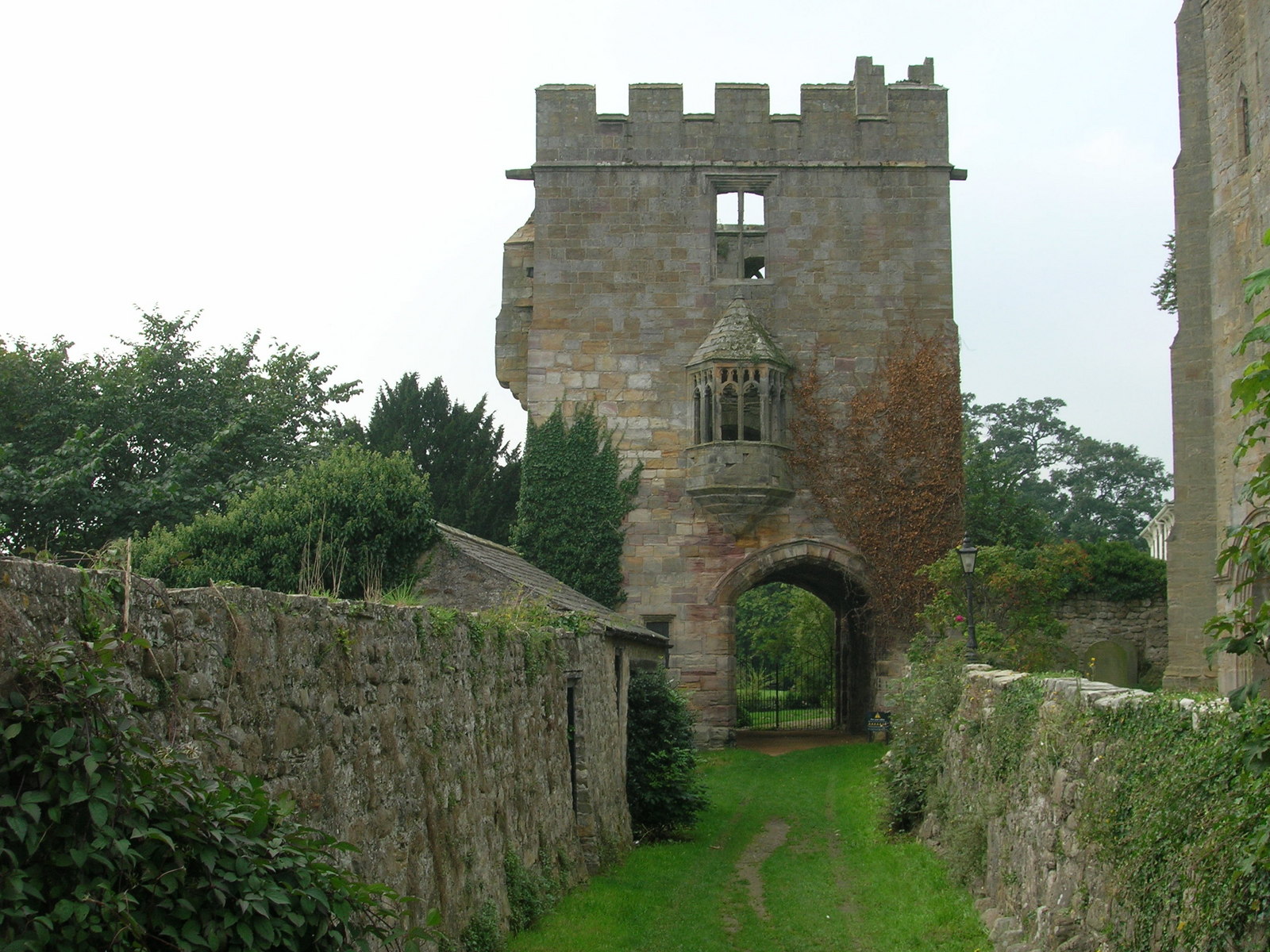
Marmion Tower
Marmion Tower, also known historically as Tanfield Castle, is a 15th-century gatehouse near the village of West Tanfield in North Yorkshire, England. It...

Azerley
Azerley is a village and civil parish in the Harrogate district of North Yorkshire, England. It is about 4 miles (6 km) north-west of Ripon. The civil...
Nearby Amenities
Located within 500m of 54.190673,-1.6358046Have you been to Magdalen Wood?
Leave your review of Magdalen Wood below (or comments, questions and feedback).