Bateman Firs
Wood, Forest in Derbyshire Derbyshire Dales
England
Bateman Firs

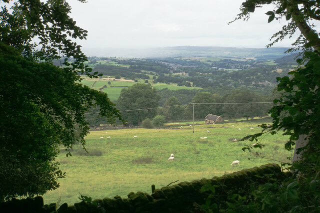
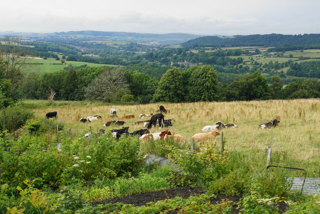
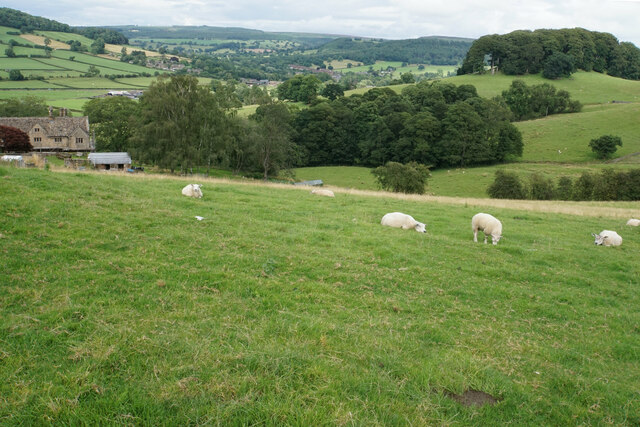
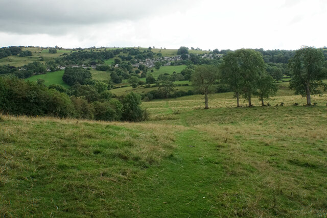
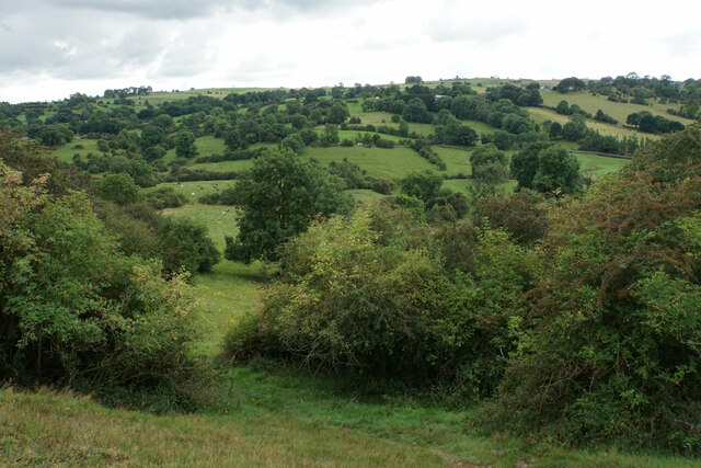
Bateman Firs is a sprawling woodland located in Derbyshire, England. Covering an area of approximately 500 acres, it is renowned for its picturesque beauty and diverse range of flora and fauna. The woodland is primarily composed of a mix of coniferous and deciduous trees, creating a rich and varied ecosystem.
The trees within Bateman Firs are predominantly firs, hence the name, with a variety of species including Douglas fir, Norway spruce, and Scots pine. These towering evergreens provide a stunning backdrop throughout the year, with their vibrant green foliage in the warmer months and a striking contrast against the winter landscape.
The forest floor is adorned with an array of wildflowers, ferns, and mosses, creating a vibrant tapestry of colors and textures. This attracts a diverse range of wildlife, making Bateman Firs a haven for nature enthusiasts and wildlife photographers. Visitors may spot red deer, roe deer, and various species of birds, such as woodpeckers, owls, and jays, among others.
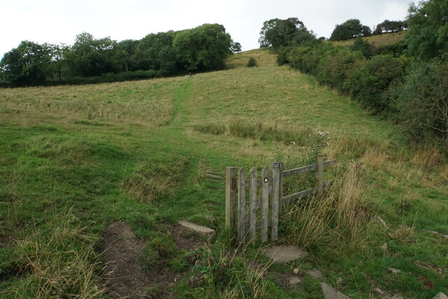
Bateman Firs offers numerous walking trails, allowing visitors to explore its natural splendor at their own pace. These well-maintained paths wind through the woodland, offering breathtaking views of the surrounding countryside and opportunities to observe the wildlife. The woodland also has designated picnic areas, making it an ideal spot for families and groups to enjoy a day out in nature.
Overall, Bateman Firs is a captivating woodland that offers a tranquil escape from the hustle and bustle of everyday life. With its stunning scenery, diverse range of plant and animal life, and well-marked trails, it is a must-visit destination for nature lovers and outdoor enthusiasts alike.
If you have any feedback on the listing, please let us know in the comments section below.
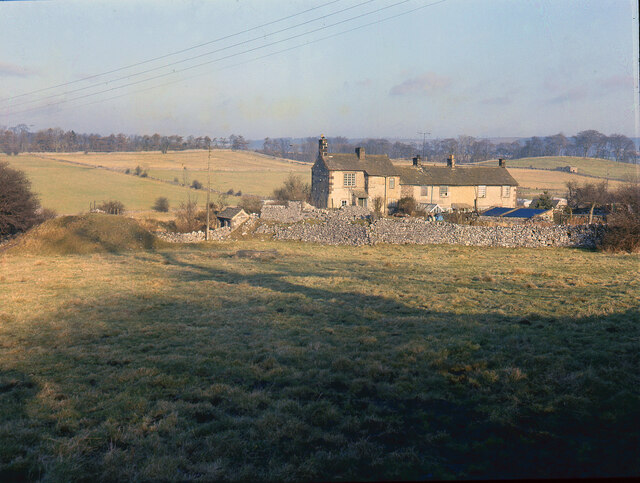
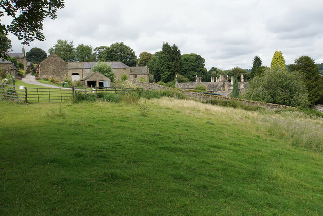
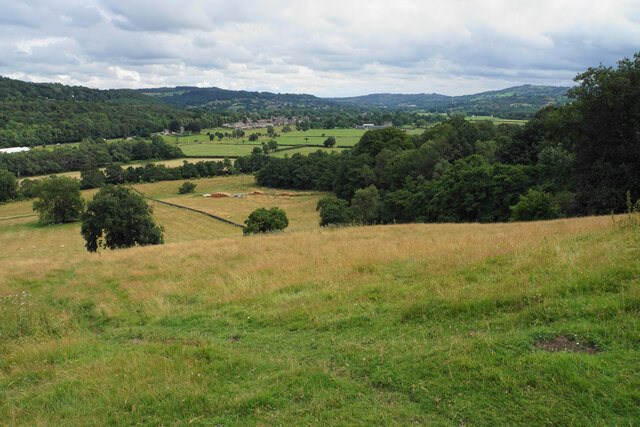
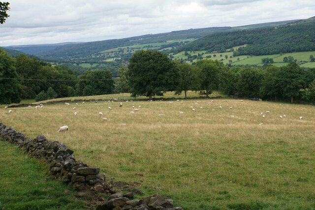
Bateman Firs Images
Images are sourced within 2km of 53.167353/-1.6458066 or Grid Reference SK2363. Thanks to Geograph Open Source API. All images are credited.


Bateman Firs is located at Grid Ref: SK2363 (Lat: 53.167353, Lng: -1.6458066)
Administrative County: Derbyshire
District: Derbyshire Dales
Police Authority: Derbyshire
What 3 Words
///searcher.coaster.insurance. Near Youlgreave, Derbyshire
Nearby Locations
Related Wikis
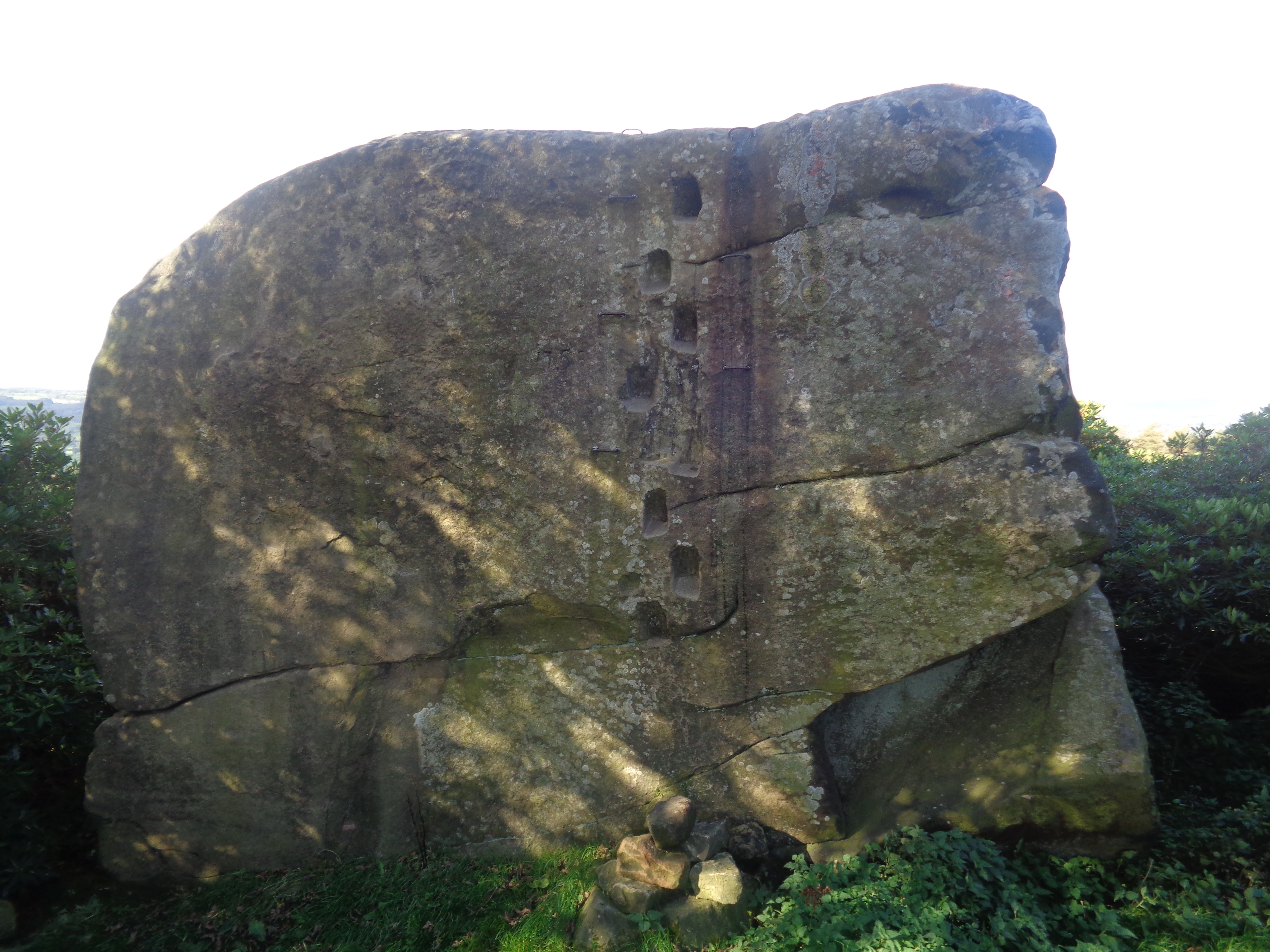
Andle Stone
The Andle Stone is a large gritstone boulder on Stanton Moor in Derbyshire. The stone block is 6m long, 4m high and lies within a low, circular, dry stone...

Doll Tor
Doll Tor is a stone circle located just to the west of Stanton Moor, near the village of Birchover, Derbyshire in the English East Midlands. Doll Tor is...

Stanton Hall, Stanton in Peak
Stanton Hall is a privately owned country house at Stanton in Peak in the Derbyshire Peak District, the home of the Davie-Thornhill family. It is a Grade...

Holy Trinity Church, Stanton-in-Peak
Holy Trinity Church, Stanton-in-Peak is a Grade II listed parish church in the Church of England in Stanton in Peak, Derbyshire. == History == The church...

Stanton in Peak
Stanton in Peak (also written as Stanton-in-Peak) is a village in the Derbyshire Dales district of Derbyshire, It is about seven miles north-west of Matlock...

Stanton Moor
Stanton Moor is a small upland area in the Derbyshire Peak District of central northern England, lying between Matlock and Bakewell near the villages of...

Nine Ladies
The Nine Ladies is a stone circle located on Stanton Moor in Derbyshire in the English East Midlands. The Nine Ladies is part of a tradition of stone circle...

Harthill, Derbyshire
Harthill is a civil parish within the Derbyshire Dales district, in the county of Derbyshire, England. Largely rural, along with parts of the neighbouring...
Nearby Amenities
Located within 500m of 53.167353,-1.6458066Have you been to Bateman Firs?
Leave your review of Bateman Firs below (or comments, questions and feedback).