Daylesford
Settlement in Gloucestershire Cotswold
England
Daylesford
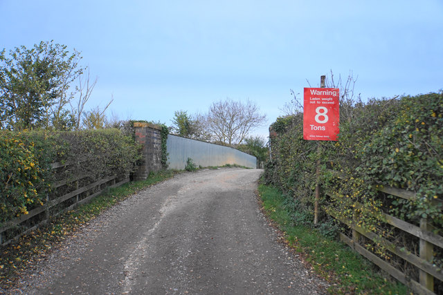
Daylesford is a picturesque village located in the county of Gloucestershire, England. With a population of around 2,000 residents, it is nestled in the picturesque Cotswold Hills, an Area of Outstanding Natural Beauty. The village is situated approximately 5 miles northeast of Chipping Norton and 8 miles south of Stow-on-the-Wold.
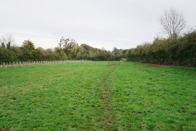
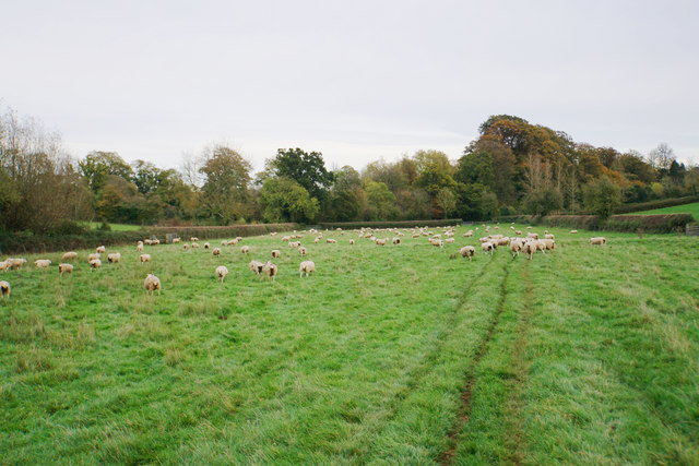
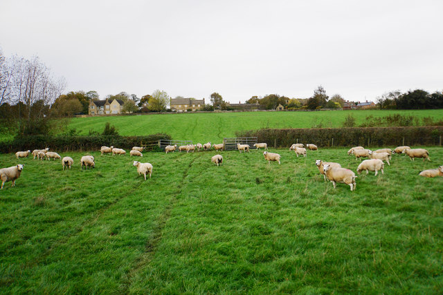
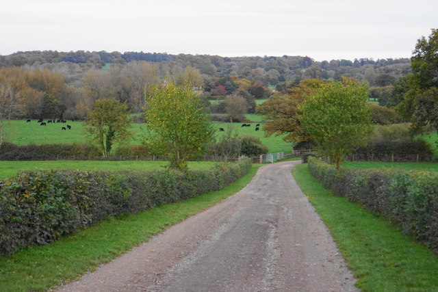
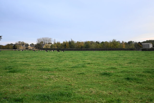
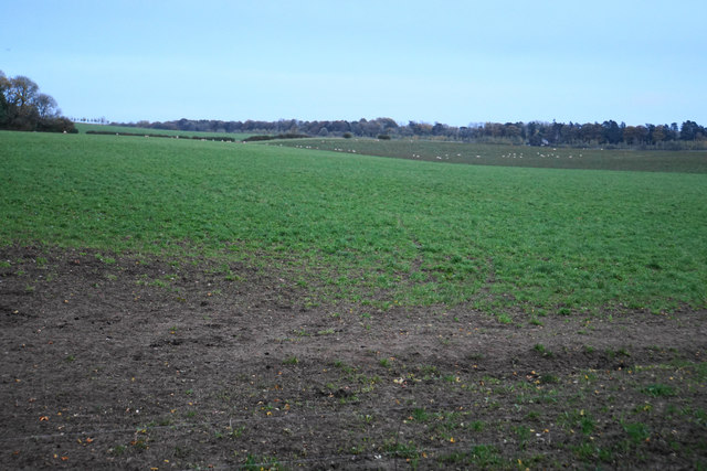
Daylesford is renowned for its stunning landscapes, charming stone houses, and idyllic countryside setting. The village is surrounded by rolling hills, lush green fields, and meandering streams, offering an abundance of outdoor activities such as hiking, cycling, and horse riding. The Cotswold Way, a famous long-distance footpath, runs close by, attracting walkers from near and far.
One of the village's main attractions is the Daylesford Organic Farm, which has become a renowned destination for organic produce and sustainable living. The farm encompasses a range of activities, including a farm shop, café, cookery school, and spa. Visitors can explore the farm and witness the organic farming methods in action, as well as indulge in delicious organic food and luxurious spa treatments.
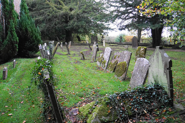
Daylesford also boasts a rich history, with a number of historic buildings and landmarks dotting the village. The St. Peter's Church, a Grade II* listed building, is a notable example, dating back to the 12th century. The village maintains a strong sense of community, with various events and festivals taking place throughout the year, including the Daylesford Street Fair and the Daylesford Festival.
Overall, Daylesford is a charming village that offers a perfect blend of natural beauty, organic living, and a thriving community spirit.
If you have any feedback on the listing, please let us know in the comments section below.
Daylesford Images
Images are sourced within 2km of 51.931219/-1.645818 or Grid Reference SP2425. Thanks to Geograph Open Source API. All images are credited.


Daylesford is located at Grid Ref: SP2425 (Lat: 51.931219, Lng: -1.645818)
Administrative County: Gloucestershire
District: Cotswold
Police Authority: Gloucestershire
What 3 Words
///shadowed.limes.webcams. Near Stow on the Wold, Gloucestershire
Nearby Locations
Related Wikis

Daylesford, Gloucestershire
Daylesford is a small, privately owned village and former civil parish, now in the parish of Adlestrop, in the Cotswold district, in the county of Gloucestershire...
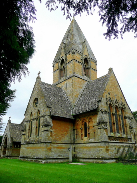
Church of St Peter, Daylesford
The Anglican Church of St Peter at Daylesford in the Cotswold District of Gloucestershire, England was rebuilt in 1860. It is a grade I listed building...
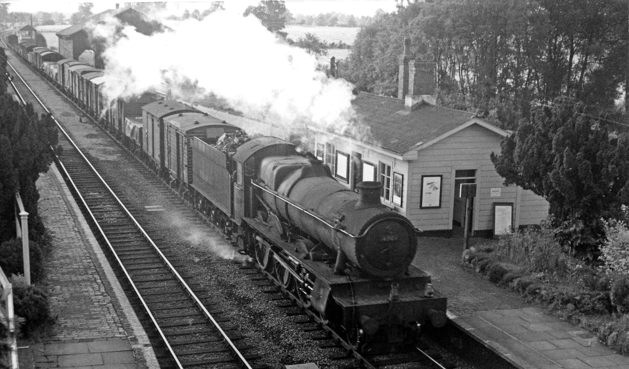
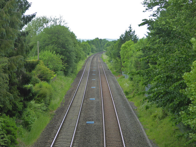
Adlestrop railway station
Adlestrop railway station was a railway station which served the village of Adlestrop in Gloucestershire, England, between 1853 and 1966. It was on what...

Daylesford House
Daylesford House is a Georgian country house near Daylesford, Gloucestershire, England, on the north bank of the River Evenlode near the border with Oxfordshire...
Nearby Amenities
Located within 500m of 51.931219,-1.645818Have you been to Daylesford?
Leave your review of Daylesford below (or comments, questions and feedback).