Daybrook
Settlement in Nottinghamshire Gedling
England
Daybrook
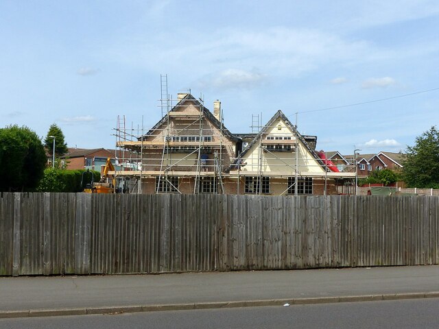
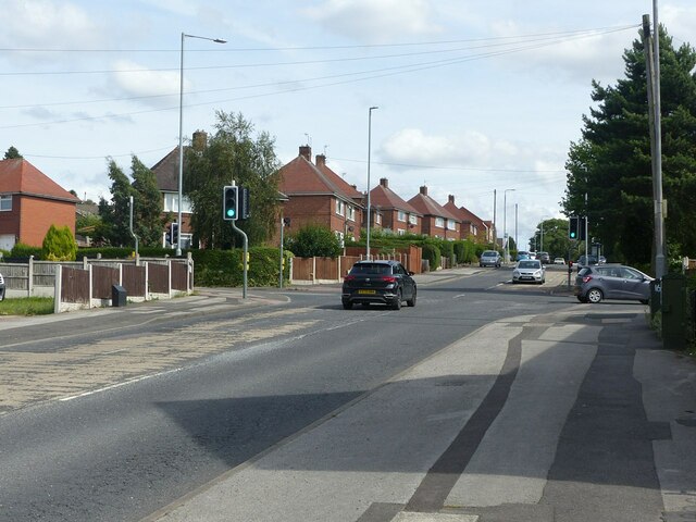
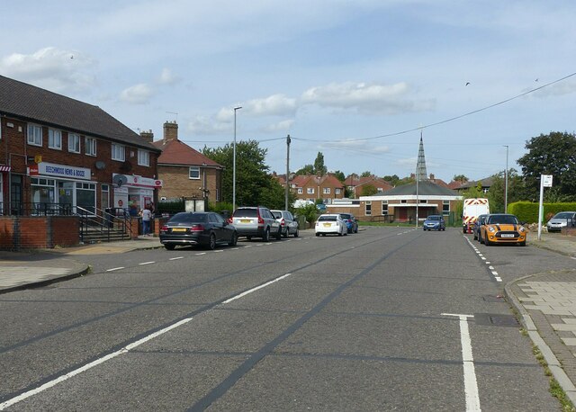
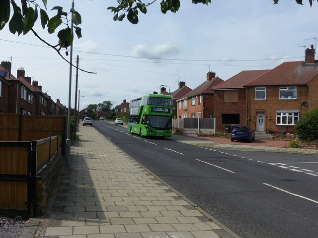
Daybrook is a suburban area located in Nottinghamshire, England. It is situated approximately four miles north of Nottingham city center. Primarily a residential area, Daybrook boasts a mix of housing types, including terraced houses, semi-detached houses, and some newer developments. The area is known for its leafy streets and well-maintained gardens, creating a pleasant and inviting atmosphere for residents.
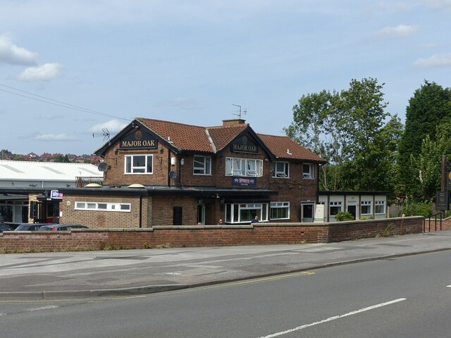
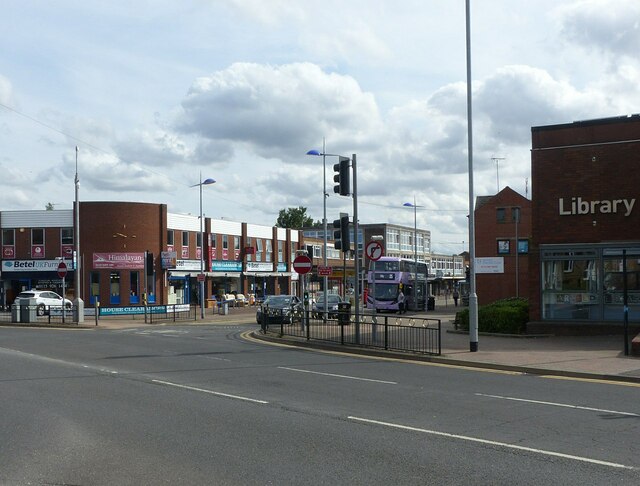
Daybrook offers a range of amenities to cater to the daily needs of its residents. These include several convenience stores, supermarkets, and a variety of shops, providing easy access to essential goods and services. The area also benefits from a selection of cafes, restaurants, and pubs, offering a range of dining options for locals and visitors alike.
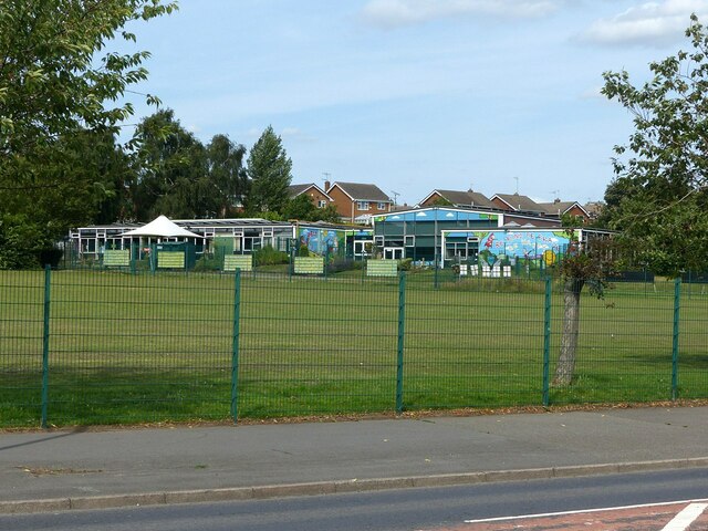
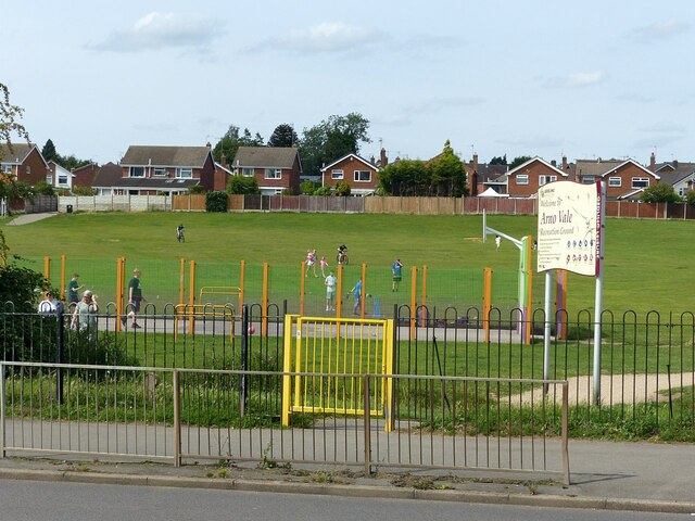
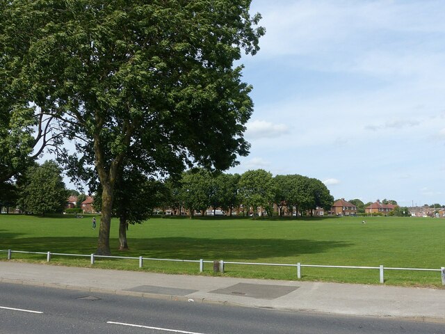
For those seeking recreational activities, Daybrook is home to several parks and green spaces. These include the popular Bestwood Country Park, which offers picturesque walking trails, cycling routes, and a chance to explore nature. Additionally, the nearby Vernon Park provides a peaceful setting for relaxation and outdoor activities.
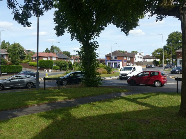
Daybrook benefits from excellent transport links, making it easily accessible for commuters and visitors. The area is well-served by buses, providing regular connections to Nottingham city center and the surrounding areas. The nearby A60 road also offers convenient access to other parts of Nottinghamshire and beyond.
Overall, Daybrook is a well-established residential area with a range of amenities, parks, and convenient transport links. Its leafy streets and community feel make it an attractive place to live for individuals and families looking for a suburban lifestyle within easy reach of Nottingham city center.
If you have any feedback on the listing, please let us know in the comments section below.
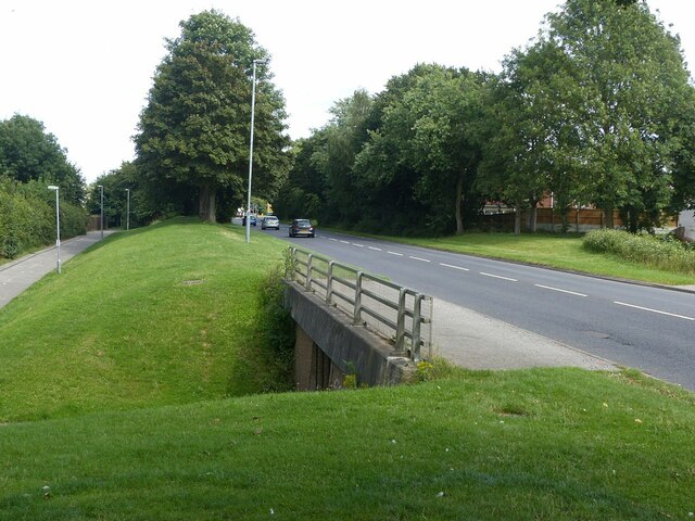
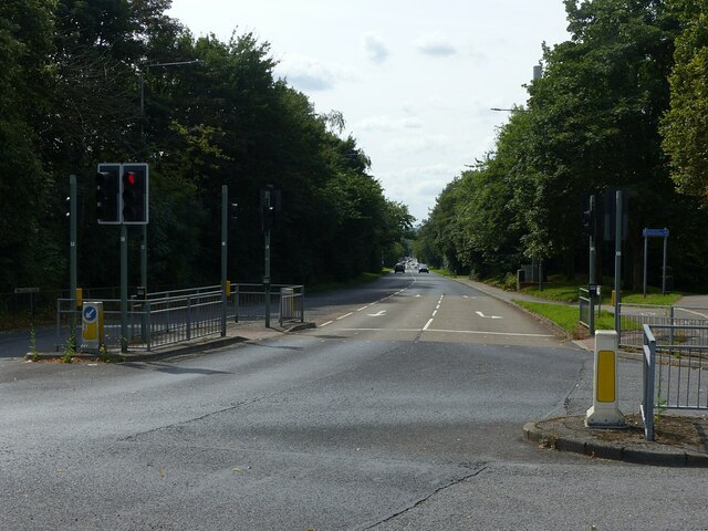
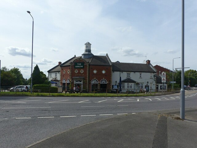
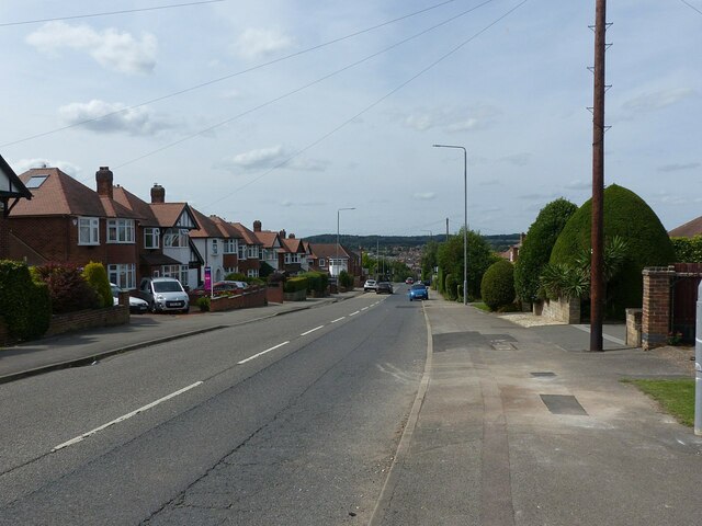
Daybrook Images
Images are sourced within 2km of 53.000989/-1.140169 or Grid Reference SK5745. Thanks to Geograph Open Source API. All images are credited.


Daybrook is located at Grid Ref: SK5745 (Lat: 53.000989, Lng: -1.140169)
Administrative County: Nottinghamshire
District: Gedling
Police Authority: Nottinghamshire
What 3 Words
///dent.fairly.assume. Near Arnold, Nottinghamshire
Nearby Locations
Related Wikis

St Paul's Church, Daybrook
The Church of St. Paul is a parish church in the Church of England, located on Mansfield Road in Daybrook, Nottingham. The parish includes St Timothy...

Sir John Robinson's Almshouses
The Sir John Robinson Almshouses (commonly the Daybrook Almshouses) are a collection of twelve two-bedroom cottages erected in 1899 on Mansfield Road,...
Daybrook
Daybrook is a suburb of Arnold, Nottinghamshire. The area is located just outside the city of Nottingham but inside the conurbation of Greater Nottingham...

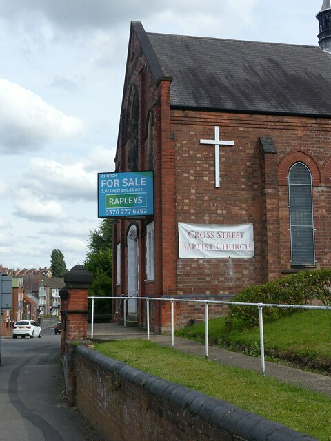
Daybrook Baptist Church
Daybrook Baptist Church is on Mansfield Road in Daybrook, near Arnold, Nottingham. == History == A Baptist congregation was established in Arnold, Nottingham...
Nearby Amenities
Located within 500m of 53.000989,-1.140169Have you been to Daybrook?
Leave your review of Daybrook below (or comments, questions and feedback).