Birchover Wood
Wood, Forest in Derbyshire Derbyshire Dales
England
Birchover Wood

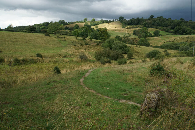
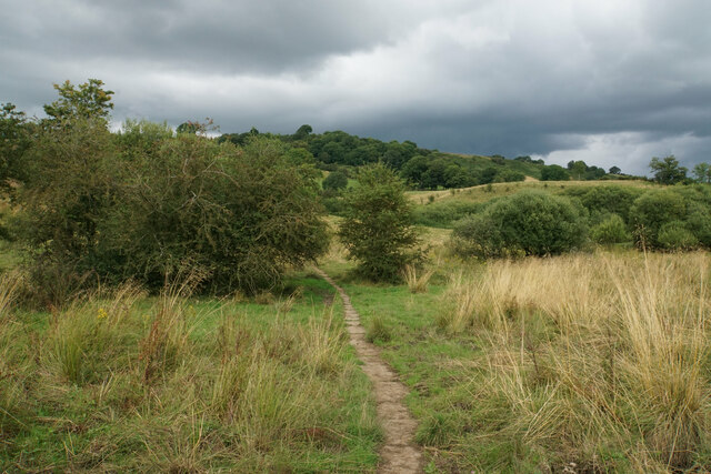
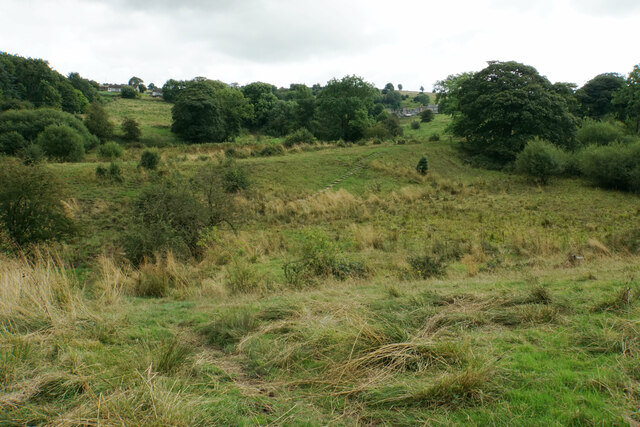
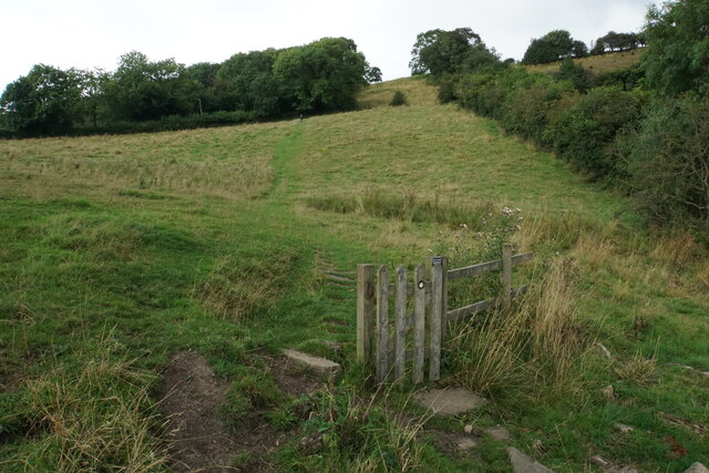
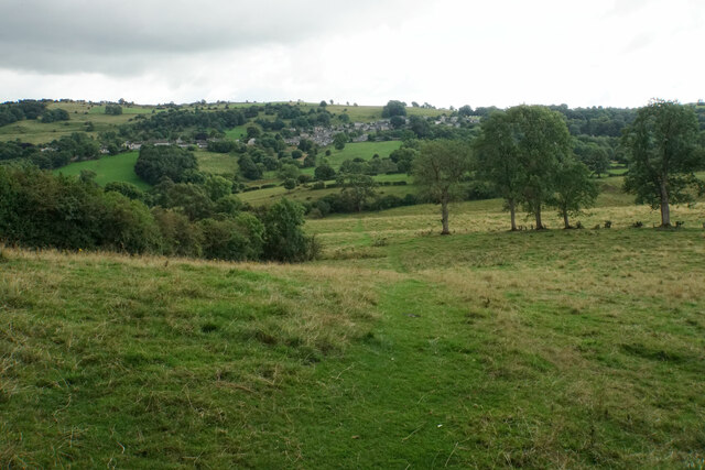
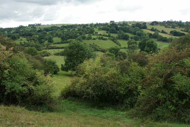
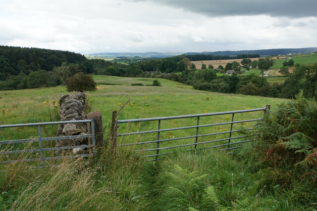
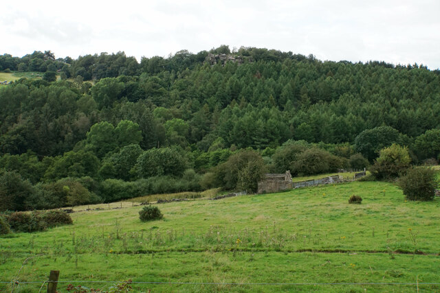
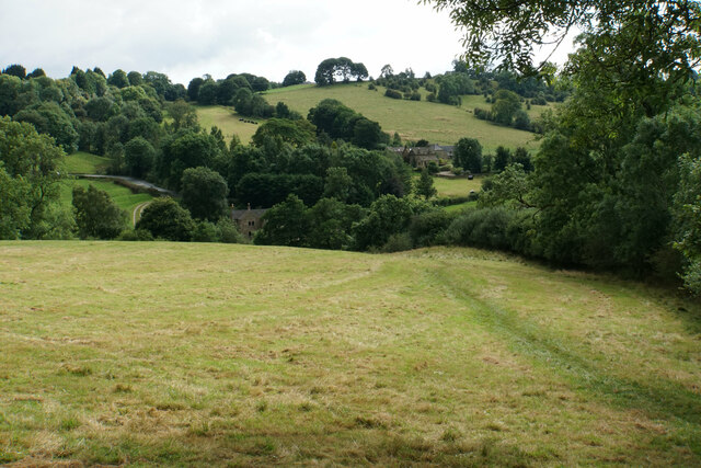
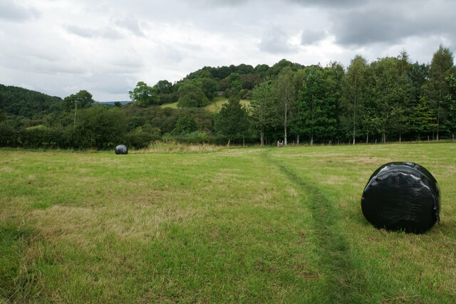
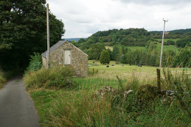
Birchover Wood is a picturesque woodland located in Derbyshire, England. Situated near the village of Birchover, it covers an area of approximately 10 hectares. The wood is a part of the larger Peak District National Park, renowned for its natural beauty and diverse wildlife.
The woodland is predominantly made up of deciduous trees, including oak, beech, and birch, which create a dense canopy that provides shade and shelter for a variety of flora and fauna. The forest floor is covered with a rich carpet of mosses, ferns, and wildflowers, adding to the enchanting atmosphere of the wood.
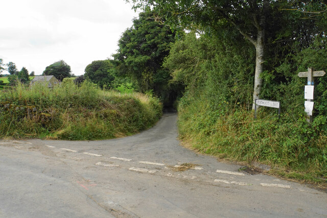
Birchover Wood is easily accessible to visitors, with well-maintained footpaths winding through the trees, allowing for leisurely walks and nature exploration. The wood offers a tranquil and peaceful environment, making it a popular destination for nature lovers, hikers, and birdwatchers.
The biodiversity within Birchover Wood is impressive, with numerous species of birds, mammals, and insects calling it home. Bird enthusiasts can spot woodpeckers, owls, and various songbirds, while mammals such as deer, foxes, and rabbits can occasionally be seen roaming the forest.
The wood also has historical significance, with remnants of ancient settlements and burial mounds scattered throughout. This adds an element of intrigue and mystery to the woodland, attracting history enthusiasts and archaeology buffs.
Overall, Birchover Wood is a charming and idyllic forest that offers a peaceful retreat for both locals and tourists. Its natural beauty, diverse wildlife, and historical significance make it a must-visit destination for anyone seeking solace in nature.
If you have any feedback on the listing, please let us know in the comments section below.
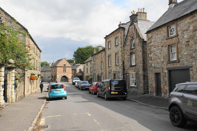
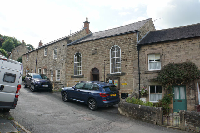
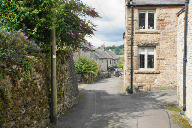
Birchover Wood Images
Images are sourced within 2km of 53.151986/-1.6474283 or Grid Reference SK2361. Thanks to Geograph Open Source API. All images are credited.


Birchover Wood is located at Grid Ref: SK2361 (Lat: 53.151986, Lng: -1.6474283)
Administrative County: Derbyshire
District: Derbyshire Dales
Police Authority: Derbyshire
What 3 Words
///verse.mandolin.splint. Near Youlgreave, Derbyshire
Nearby Locations
Related Wikis
Birchover
Birchover is a village and civil parish in the Peak District National Park in Derbyshire, England, five miles north-west of Matlock. At the 2001 Census...

Derbyshire Dales (UK Parliament constituency)
Derbyshire Dales ( DAR-bee-sheer, -shər) is a constituency that has been represented in the House of Commons of the UK Parliament since 2019 by Sarah...

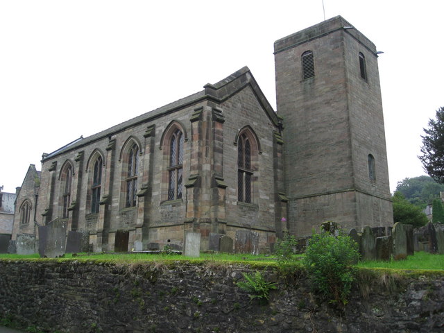
St Michael's Church, Birchover
St Michael's Church, Birchover, also known as Rowtor Chapel, is a Grade II listed parish church in the Church of England in Birchover, Derbyshire. Located...
St John the Baptist's Church, Winster
St John the Baptist's Church, Winster is a Grade II listed parish church in the Church of England in Winster, Derbyshire. == History == The tower dates...
Nearby Amenities
Located within 500m of 53.151986,-1.6474283Have you been to Birchover Wood?
Leave your review of Birchover Wood below (or comments, questions and feedback).