Upper Highwood Copse
Wood, Forest in Wiltshire
England
Upper Highwood Copse

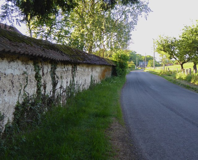
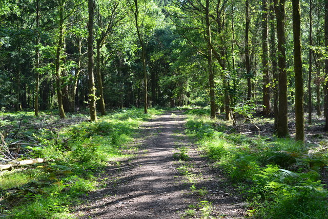
Upper Highwood Copse is a charming woodland located in the county of Wiltshire, England. Situated in the southern part of the county, it covers an area of approximately 50 acres and is known for its natural beauty and tranquil atmosphere.
The copse is predominantly composed of deciduous trees, with oak, beech, and ash being the most common species found within its boundaries. These majestic trees provide a dense canopy that creates a shaded and cool environment in the summer months, making it an ideal place for nature enthusiasts to explore and seek respite from the heat.
The woodland floor is covered with a rich carpet of wildflowers, including bluebells, primroses, and wood anemones, which create a vibrant burst of color during the spring season. This abundance of flora attracts a variety of wildlife, such as squirrels, deer, and numerous bird species, including woodpeckers and owls.
Traversing through Upper Highwood Copse, visitors will find a network of well-maintained footpaths and trails that meander through the trees, offering opportunities for leisurely walks and peaceful contemplation. The copse is also intersected by a small stream, which adds to its natural charm and provides a soothing soundtrack as it trickles along.
Upper Highwood Copse is a popular destination for nature lovers, families, and photographers, who flock to this picturesque woodland to capture its beauty throughout the seasons. With its serene ambiance and diverse ecosystem, it is an idyllic spot to connect with nature and experience the tranquility of the English countryside.
If you have any feedback on the listing, please let us know in the comments section below.
Upper Highwood Copse Images
Images are sourced within 2km of 51.049453/-1.6641287 or Grid Reference SU2327. Thanks to Geograph Open Source API. All images are credited.


Upper Highwood Copse is located at Grid Ref: SU2327 (Lat: 51.049453, Lng: -1.6641287)
Unitary Authority: Wiltshire
Police Authority: Wiltshire
What 3 Words
///louder.clasps.hairpin. Near East Dean, Hampshire
Nearby Locations
Related Wikis
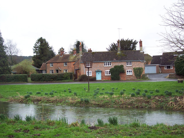
East Grimstead
East Grimstead is a village in the civil parish of Grimstead, on the River Dun in Wiltshire, England, about 5 miles (8.0 km) east of Salisbury. The village...

Blackmoor Copse
Blackmoor Copse (grid reference SU234292) is a woodland in southeast Wiltshire, England, managed as a nature reserve by the Wiltshire Wildlife Trust. The...
Farley, Wiltshire
Farley is a village in southeast Wiltshire, England, about 5 miles (8.0 km) east of Salisbury. == Geography == Farley is one of the Dun Valley villages...

Grimstead
Grimstead is a civil parish on the River Dun in Wiltshire, England, to the south-east of Salisbury. Its settlements are the villages of East Grimstead...
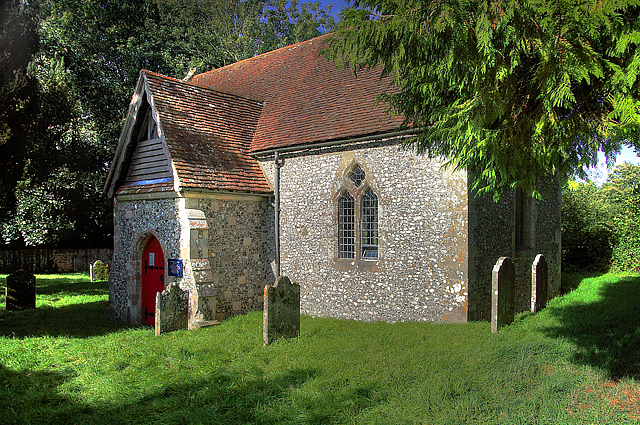
Borbach Chantry
Borbach Chantry, West Dean, in south-east Wiltshire, England, was built in 1333. It is recorded in the National Heritage List for England as a Grade I...
West Dean, Wiltshire
West Dean is a village and civil parish in southeast Wiltshire, England; the Wiltshire/Hampshire border runs through the eastern part of the village. The...
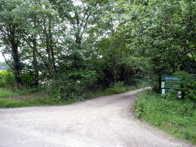
Bentley Wood
Bentley Wood (grid reference SU250295), together with the adjacent Blackmoor Copse, form one of the largest contiguous areas of woodland in Wiltshire,...

Brickworth Down and Dean Hill
Brickworth Down and Dean Hill (grid reference SU246259) is a 118.6 hectare biological Site of Special Scientific Interest in Wiltshire, notified in 1951...
Nearby Amenities
Located within 500m of 51.049453,-1.6641287Have you been to Upper Highwood Copse?
Leave your review of Upper Highwood Copse below (or comments, questions and feedback).