Blaberry Wood
Wood, Forest in Yorkshire Harrogate
England
Blaberry Wood
Blaberry Wood is a beautiful forest located in the picturesque region of Yorkshire, England. Spread over an expansive area, this woodland is known for its rich biodiversity and stunning natural beauty.
The wood is predominantly made up of a variety of trees, such as oak, beech, and birch, creating a dense and lush canopy that provides shelter to numerous species of flora and fauna. The forest floor is covered in a thick layer of moss, adding to the enchanting atmosphere and providing a haven for woodland plants and fungi.
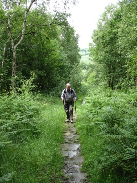
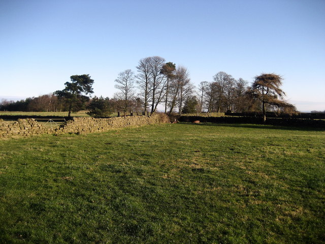
Blaberry Wood boasts an extensive network of walking trails and paths, allowing visitors to explore its many hidden treasures. These trails wind through the forest, passing by tranquil streams, serene meadows, and small clearings. The wood also features several picnic areas, providing the perfect spot for visitors to relax and enjoy the peaceful surroundings.
Wildlife thrives within Blaberry Wood, with various species calling this forest their home. Visitors may be lucky enough to spot deer, foxes, rabbits, and a wide variety of bird species. The wood is particularly renowned for its bird population, attracting birdwatchers from far and wide.
Blaberry Wood is a popular destination for nature lovers and outdoor enthusiasts alike. Its serene ambiance, diverse ecosystem, and well-maintained trails make it an ideal location for hiking, birdwatching, and nature photography. Whether visitors are seeking solitude or a family day out, this enchanting woodland offers something for everyone.
If you have any feedback on the listing, please let us know in the comments section below.
Blaberry Wood Images
Images are sourced within 2km of 54.042872/-1.6415103 or Grid Reference SE2360. Thanks to Geograph Open Source API. All images are credited.


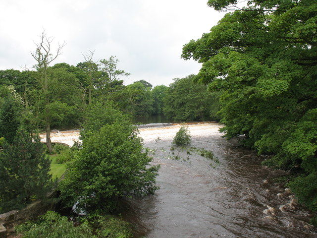
![Mill race, Birstwith The mill race flows from the weir on the Nidd to Birstwith Mill [seen here] which now produces animal feeds.](https://s1.geograph.org.uk/photos/47/10/471065_4ab8444b.jpg)


Blaberry Wood is located at Grid Ref: SE2360 (Lat: 54.042872, Lng: -1.6415103)
Division: West Riding
Administrative County: North Yorkshire
District: Harrogate
Police Authority: North Yorkshire
What 3 Words
///populate.banks.ponies. Near Harrogate, North Yorkshire
Nearby Locations
Related Wikis

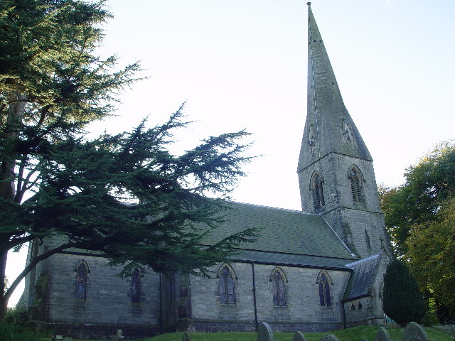
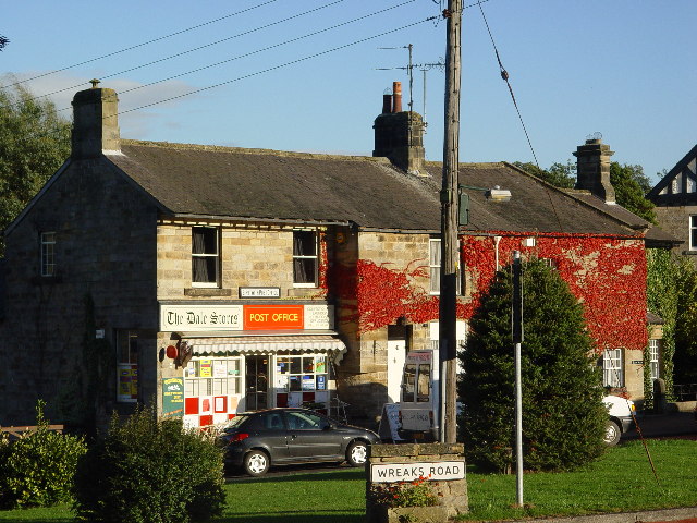
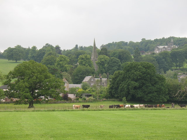
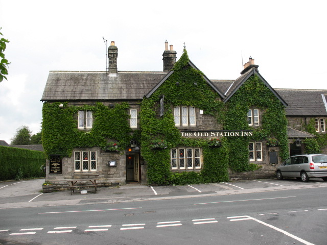
Birstwith
Birstwith is a village and civil parish in the Harrogate district of North Yorkshire, England. It is part of the Nidderdale, and is situated on the River...

Birstwith railway station
Birstwith railway station served the village of Birstwith, North Yorkshire, England from 1862 to 1964 on the Nidd Valley Railway. == History == The station...

Swarcliffe Hall
Swarcliffe Hall is a large hall that was constructed in 1800 in Birstwith, near Harrogate, England. The current house was built by John Greenwood in 1850...

Burnt Yates
Burnt Yates is a village in the Borough of Harrogate in North Yorkshire, England. == Community == The village name possibly derived from 'Burnt Gates'...

Shaw Mills
Shaw Mills is a hamlet in the civil parish of Bishop Thornton, Shaw Mills and Warsill, in Nidderdale in the Harrogate district, North Yorkshire, England...

Clint, North Yorkshire
Clint is a village in Nidderdale in North Yorkshire, England. It lies on the north bank of the River Nidd, 4 miles north-west of Harrogate. Clint is...

Hartwith cum Winsley
Hartwith cum Winsley is a civil parish in Harrogate district, North Yorkshire, England. Historically it was a township in the ancient parish of Kirkby...

Hampsthwaite
Hampsthwaite is a large village and civil parish in Nidderdale in the Harrogate district of North Yorkshire, England. It lies on the south bank of the...
Nearby Amenities
Located within 500m of 54.042872,-1.6415103Have you been to Blaberry Wood?
Leave your review of Blaberry Wood below (or comments, questions and feedback).