Broomyholm Plantation
Wood, Forest in Durham
England
Broomyholm Plantation
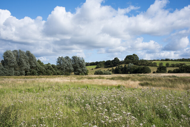
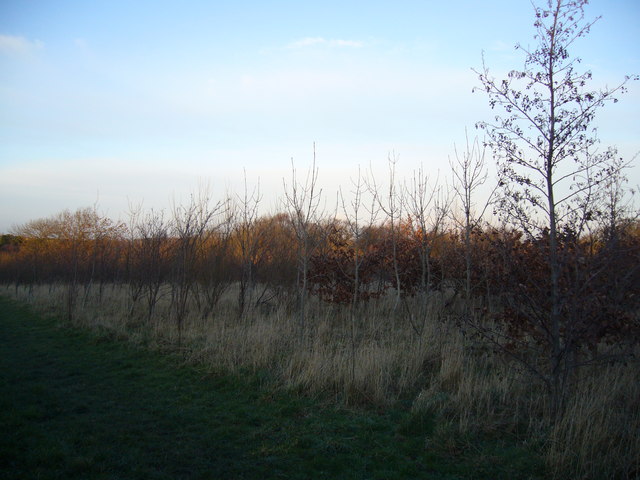
Broomyholm Plantation, located in Durham, England, is a picturesque woodland area known for its dense forest and scenic beauty. Spanning over several acres, this plantation is a cherished natural landmark in the region. The plantation is situated in close proximity to the city, making it easily accessible for visitors and locals alike.
The woodland in Broomyholm Plantation is predominantly composed of deciduous trees, such as oak, beech, and birch, creating a vibrant and diverse ecosystem. The canopy formed by these trees provides ample shade, making it an ideal spot for nature enthusiasts and hikers to explore and enjoy the outdoors. The forest floor is also adorned with a variety of native wildflowers, adding a burst of color to the landscape.
The plantation is home to a wide array of wildlife, including squirrels, deer, and various bird species. Birdwatchers can delight in spotting resident and migratory birds, such as woodpeckers, song thrushes, and tawny owls, among others. Additionally, the diverse range of flora found in Broomyholm Plantation provides habitats for many insect species, contributing to the overall biodiversity of the area.
Visitors can take advantage of the well-maintained walking trails that wind through the plantation, offering a chance to immerse oneself in nature and enjoy the tranquility it offers. The plantation also provides educational opportunities, with guided tours and workshops focusing on nature conservation and the importance of sustainable forestry.
Overall, Broomyholm Plantation is a natural haven that offers a peaceful retreat from the hustle and bustle of city life. With its stunning woodland, diverse wildlife, and educational offerings, it is a destination that appeals to nature lovers and those seeking a connection with the great outdoors.
If you have any feedback on the listing, please let us know in the comments section below.
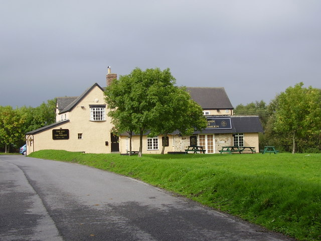
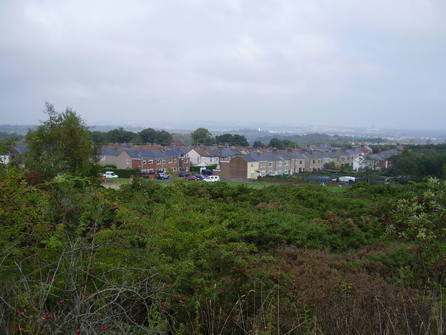
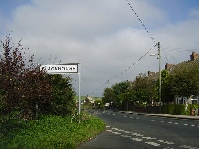
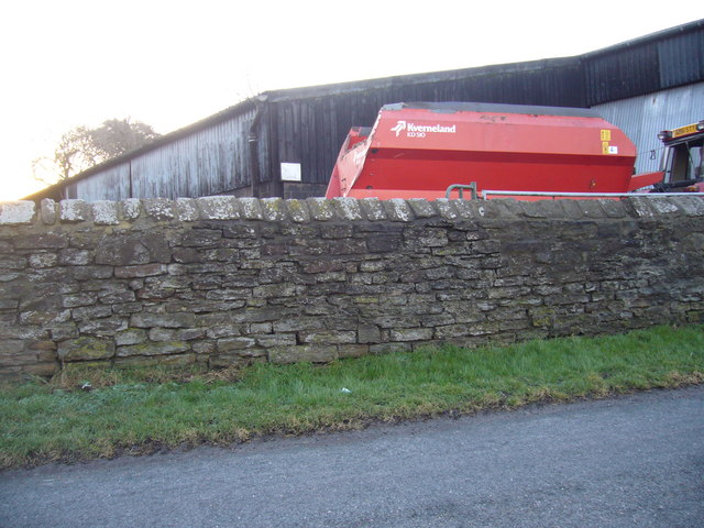
Broomyholm Plantation Images
Images are sourced within 2km of 54.848299/-1.638164 or Grid Reference NZ2350. Thanks to Geograph Open Source API. All images are credited.


Broomyholm Plantation is located at Grid Ref: NZ2350 (Lat: 54.848299, Lng: -1.638164)
Unitary Authority: County Durham
Police Authority: Durham
What 3 Words
///lakeside.offers.artichoke. Near Pelton, Co. Durham
Nearby Locations
Related Wikis

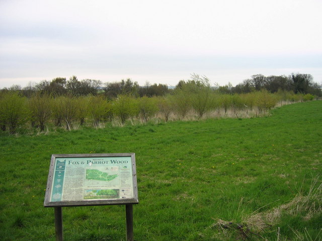
Fox & Parrot Wood
Fox & Parrot Wood is a broadleaf woodland in County Durham, England, about 4 miles (6 km) west of Chester-le-Street. It is situated just north of the B6313...
Grange Villa
Grange Villa is a village situated in County Durham, England. It is located between the towns of Stanley and Chester-le-Street. == History == Grange Villa...

Edmondsley
Edmondsley is a small village in County Durham, England. It is situated a few miles south-west of Chester-le-Street, near the villages of Craghead and...

Craghead
Craghead is a village and former civil parish, now in the parish of Stanley, in the County Durham district, in the ceremonial county of Durham, England...

Waldridge Fell
Waldridge Fell is a Site of Special Scientific Interest located immediately south-west of Chester-le-Street in the northern part of County Durham, England...
Waldridge, County Durham
Waldridge is a village in County Durham, in England. The population at the 2001 Census was 215. Prior to the 2011 Census the parish boundaries changed...
The Middles
The Middles is a village in County Durham, in England. It is situated between Stanley and Craghead. == References ==
Holmside
Holmside is a village in County Durham, in England. It is situated to the north-west of Sacriston. The village has a 5.5 MW wind farm, Holmside Hall Wind...
Nearby Amenities
Located within 500m of 54.848299,-1.638164Have you been to Broomyholm Plantation?
Leave your review of Broomyholm Plantation below (or comments, questions and feedback).