Dukesbank Plantation
Wood, Forest in Derbyshire Derbyshire Dales
England
Dukesbank Plantation
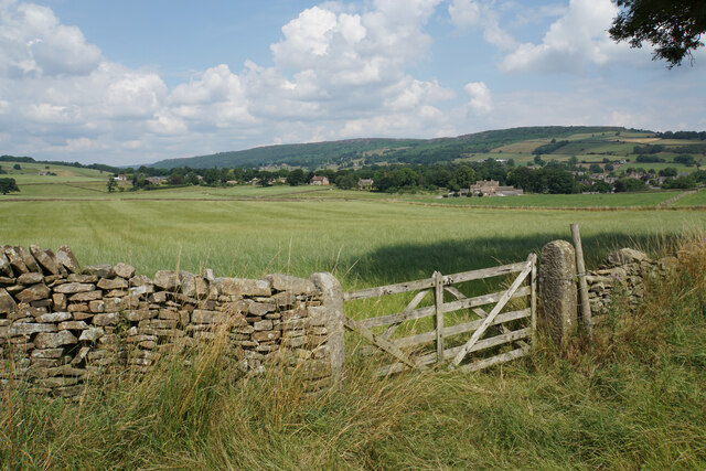
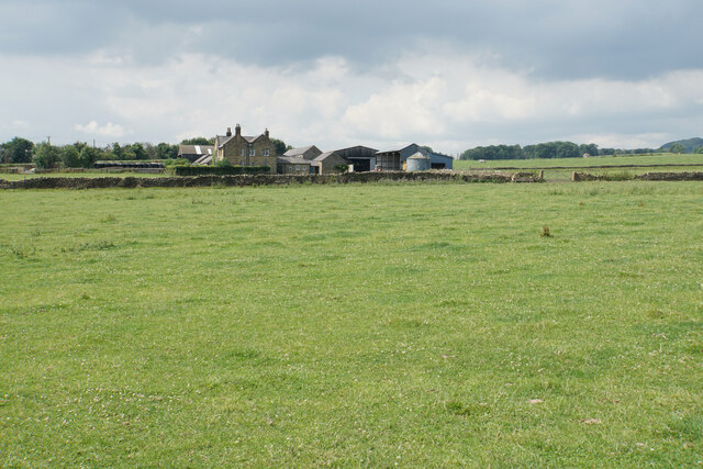
Dukesbank Plantation is a sprawling woodland area located in Derbyshire, England. Covering an extensive area, the plantation is situated in close proximity to the village of Dukesbank.
The plantation is primarily composed of a diverse range of trees, including oak, beech, birch, and pine. These trees are well-established and reach impressive heights, creating a dense forest canopy that provides shade and shelter for various wildlife species. The woodland floor is rich in a variety of plants and wildflowers, enhancing the overall biodiversity of the area.
Dukesbank Plantation is a popular destination for nature enthusiasts and outdoor enthusiasts alike. It offers numerous walking trails and footpaths, allowing visitors to explore and immerse themselves in the natural surroundings. The plantation also features picnic areas and benches, providing opportunities for visitors to relax and enjoy the peacefulness of the woodland.
Wildlife thrives within Dukesbank Plantation, with a wide array of species calling it home. The woodland serves as a habitat for birds such as woodpeckers, owls, and various songbirds. Small mammals like squirrels, foxes, and rabbits can also be spotted within the plantation. Additionally, the area is known for its diverse insect population, including butterflies, bees, and beetles.
Dukesbank Plantation is not only cherished for its natural beauty but also plays a significant role in environmental conservation. The woodland acts as a carbon sink, absorbing and storing carbon dioxide, thus contributing to combating climate change. The plantation is also actively managed to ensure the health and sustainability of the ecosystem, including regular tree maintenance and conservation efforts.
Overall, Dukesbank Plantation in Derbyshire, with its lush vegetation, diverse wildlife, and recreational opportunities, serves as a beloved natural haven for visitors and an important ecological asset for the region.
If you have any feedback on the listing, please let us know in the comments section below.
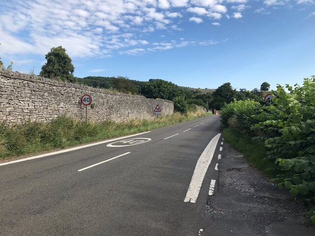
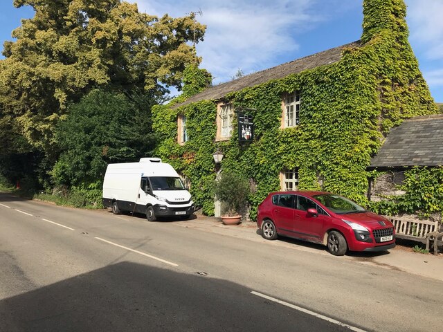
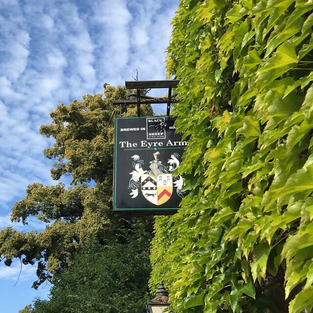
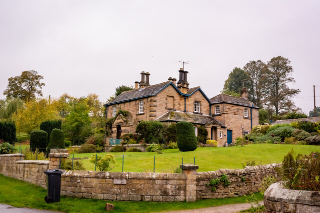
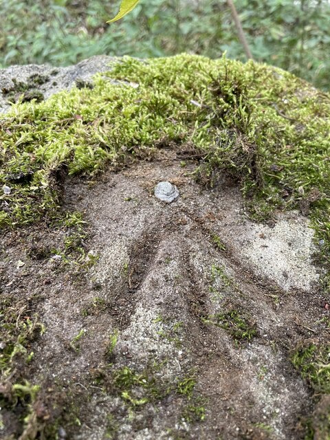
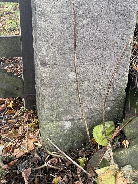
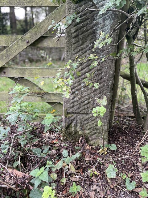
Dukesbank Plantation Images
Images are sourced within 2km of 53.234682/-1.6528623 or Grid Reference SK2370. Thanks to Geograph Open Source API. All images are credited.


Dukesbank Plantation is located at Grid Ref: SK2370 (Lat: 53.234682, Lng: -1.6528623)
Administrative County: Derbyshire
District: Derbyshire Dales
Police Authority: Derbyshire
What 3 Words
///surprises.knots.allowable. Near Baslow, Derbyshire
Nearby Locations
Related Wikis
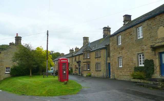
Pilsley, Derbyshire Dales
Pilsley is a small village and civil parish in Derbyshire, England. At the 2011 Census the population of the civil parish was 152. It is close to Chatsworth...

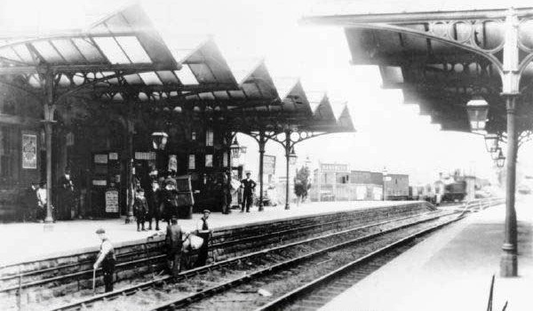
Hassop railway station
Hassop railway station was a station situated about two miles from the village of Hassop in the Peak District of Derbyshire. It was opened in 1862 by the...

Hassop
Hassop is a village in the local government district of Derbyshire Dales in Derbyshire, England. It is in the civil parish of Great Longstone It developed...

Church of All Saints, Hassop
The Church of All Saints is a Roman Catholic parish church in Hassop, Derbyshire. Built in 1816–17, the architect was Joseph Ireland. It is a Grade...
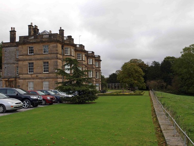
Hassop Hall
Hassop Hall is a 17th-century country house near Bakewell, Derbyshire, which was operated as a hotel until it closed on 29 September 2019. It is a Grade...
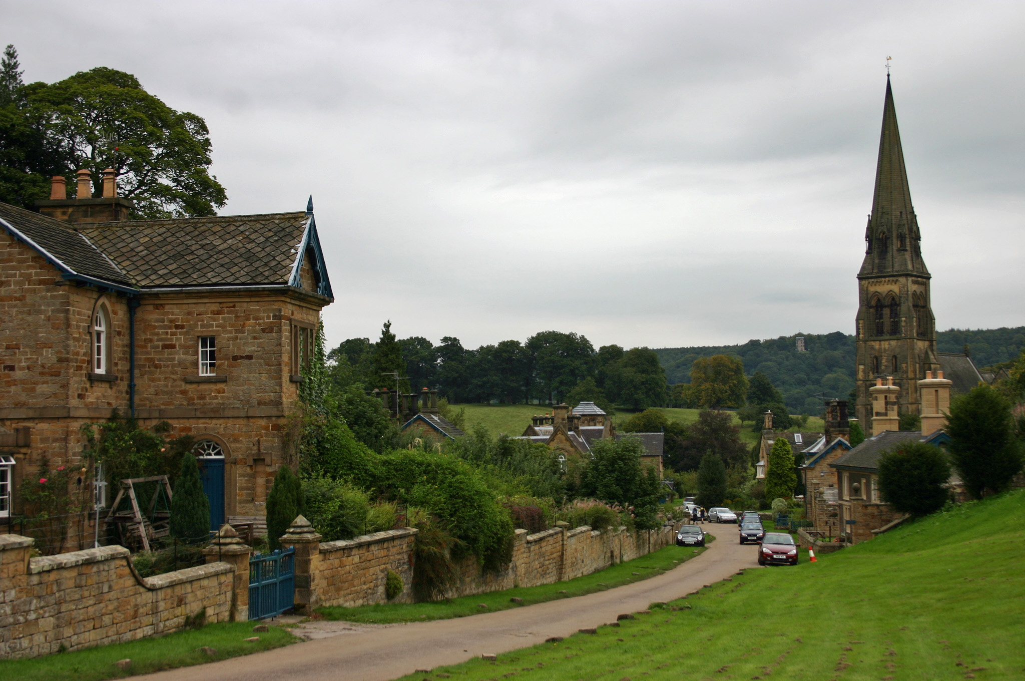
Edensor
Edensor (pronounced ) is a village and civil parish in Derbyshire, England. The population of the civil parish at the 2011 census was 145.Much of the...

St Peter's Church, Edensor
St Peter's Church, Edensor, is a Grade I listed church in Edensor, Derbyshire. St Peter's is the closest parish church in the Church of England to Chatsworth...
Bakewell railway station
Bakewell railway station was a railway station built to serve the town of Bakewell in Derbyshire, England, by the Midland Railway on its extension of the...
Nearby Amenities
Located within 500m of 53.234682,-1.6528623Have you been to Dukesbank Plantation?
Leave your review of Dukesbank Plantation below (or comments, questions and feedback).