Blake's Firs

Wood, Forest in Wiltshire

England

Blake's Firs

Sloping fields above the A30 near Lopcombe Corner
Sloping fields above the A30 near Lopcombe Corner Credit: David Martin

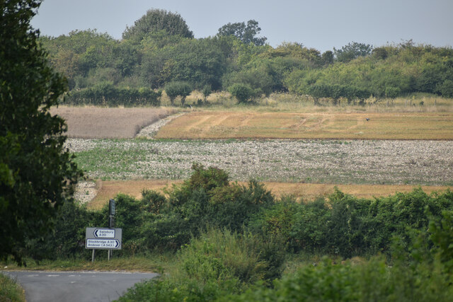
Blake's Firs is a beautiful woodland area located in the county of Wiltshire, England. Nestled amongst the rolling hills and picturesque landscapes, this forest is a haven for nature lovers and outdoor enthusiasts alike.

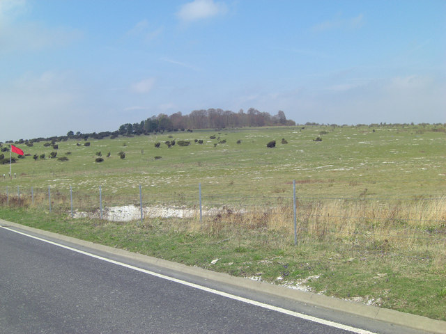
Covering an expansive area of approximately 500 acres, Blake's Firs is characterized by its dense and diverse collection of trees, predominantly consisting of fir trees. These evergreen giants create a captivating and enchanting atmosphere, particularly during the winter months when their branches are coated with a blanket of snow.

The forest is home to an array of wildlife, making it a popular spot for birdwatching and animal spotting. Visitors may catch a glimpse of deer, foxes, badgers, and a variety of bird species, including robins, woodpeckers, and owls.

A network of well-maintained footpaths and trails wind through Blake's Firs, allowing visitors to explore the forest at their own pace. These paths provide access to the different sections of the woodland, each offering its own unique charm. From tranquil meadows to babbling brooks, there is something for everyone to appreciate.

For those seeking a bit of adventure, the forest offers opportunities for camping, cycling, and even horseback riding. The peaceful surroundings and stunning scenery make it an ideal destination for a weekend getaway or a day trip with family and friends.

Blake's Firs is not only a natural haven but also a place of historical significance. The forest has been well-preserved over the years, and remnants of ancient settlements can still be found within its boundaries, providing a glimpse into the area's rich past.

In conclusion, Blake's Firs is a captivating woodland area in Wiltshire, offering a mix of natural beauty, wildlife, and historical intrigue. Whether it's a refreshing walk, a wildlife adventure, or a history lesson, this forest has something for everyone to enjoy.

If you have any feedback on the listing, please let us know in the comments section below.
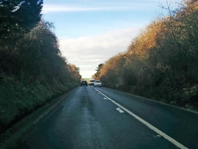
Blake's Firs Images

Images are sourced within 2km of 51.125432/-1.6689084 or Grid Reference SU2336. Thanks to Geograph Open Source API. All images are credited.

Sloping fields above the A30 near Lopcombe Corner
Traffic lights on the A30 at Porton Down
Farmer's track to go alongside Pickpocket Firs
Clough Lane beside Lower Barn
Clough Lane junction with A30 Across the busy trunk road it looks as if the refurbishment of the old Pheasant Hotel has been completed.
Clough Lane junction with A30
Across the busy trunk road it looks as if the refurbishment of the old Pheasant Hotel has been completed.
Un-named MoD road passes Winterslow Firs There was a red flag flying at the junction but the security gates were open.
Un-named MoD road passes Winterslow Firs
There was a red flag flying at the junction but the security gates were open.
Un-named MoD road southwest of Winterslow Firs This road is in superb condition, perhaps we should ask the MoD to take over road maintenance throughout the country.
Un-named MoD road southwest of Winterslow Firs
This road is in superb condition, perhaps we should ask the MoD to take over road maintenance throughout the country.
Moll Harris's Clump The distant clump is the site of an undated round barrow. This landscape has a slightly surreal feel to it; being a military area since 1916 has protected it from modern incursion. Thomas Hardy might have recognised the ambience. Road users are warned not to climb over the wire fences into the hinterland. See: <span class="nowrap"><a title="http://en.wikipedia.org/wiki/Porton_Down" rel="nofollow ugc noopener" href="http://en.wikipedia.org/wiki/Porton_Down">Link</a><img style="margin-left:2px;" alt="External link" title="External link - shift click to open in new window" src="https://s1.geograph.org.uk/img/external.png" width="10" height="10"/></span>
Moll Harris's Clump
The distant clump is the site of an undated round barrow. This landscape has a slightly surreal feel to it; being a military area since 1916 has protected it from modern incursion. Thomas Hardy might have recognised the ambience. Road users are warned not to climb over the wire fences into the hinterland. See: LinkExternal link
The A30 at Lopcombe Corner
Wet road at East Winterslow, Wiltshire The rain has stopped and a low winter sun is shining on the tarmac...
Wet road at East Winterslow, Wiltshire
The rain has stopped and a low winter sun is shining on the tarmac...
A30 towards Salisbury Nearing Lopcombe Corner, the junction with the A343, these days the major route, although the road towards Salisbury thereafter becomes the A30.
A30 towards Salisbury
Nearing Lopcombe Corner, the junction with the A343, these days the major route, although the road towards Salisbury thereafter becomes the A30.
A30 towards Salisbury After Lopcombe Corner, the junction with the A343, the road is much busier.
A30 towards Salisbury
After Lopcombe Corner, the junction with the A343, the road is much busier.
A30 towards Salisbury After Lopcombe Corner, the junction with the A343, the road is much busier.
A30 towards Salisbury
After Lopcombe Corner, the junction with the A343, the road is much busier.
A30 towards Salisbury
Old Milestone by the A30, Winterslow parish Carved stone post by the A30, in parish of WINTERSLOW (SALISBURY District), Winterslow, just East of turn to Roche Court and the Winterslows, on verge, on South side of road. Sarum triangle, erected by the Sarum & Eling turnpike trust in the 19th century. 

Inscription reads:-
: To / SARUM / 7 / MILES : : To / (L)O(N)DON / 75 / (MIL)ES : 
Rivet on top, benchmark not visible.

Grade II listed.  
List Entry Number: 1130773 <span class="nowrap"><a title="https://historicengland.org.uk/listing/the-list/list-entry/1130773" rel="nofollow ugc noopener" href="https://historicengland.org.uk/listing/the-list/list-entry/1130773">Link</a><img style="margin-left:2px;" alt="External link" title="External link - shift click to open in new window" src="https://s1.geograph.org.uk/img/external.png" width="10" height="10"/></span>

Milestone Society National ID: WI_SAAV07.
Old Milestone by the A30, Winterslow parish
Carved stone post by the A30, in parish of WINTERSLOW (SALISBURY District), Winterslow, just East of turn to Roche Court and the Winterslows, on verge, on South side of road. Sarum triangle, erected by the Sarum & Eling turnpike trust in the 19th century. Inscription reads:- : To / SARUM / 7 / MILES : : To / (L)O(N)DON / 75 / (MIL)ES : Rivet on top, benchmark not visible. Grade II listed. List Entry Number: 1130773 LinkExternal link Milestone Society National ID: WI_SAAV07.
Signage for Porton Down on A30
The road to Winterslow from the A30, Lopcombe Corner
The A30, Lopcombe Corner
Show me another place!

Blake's Firs is located at Grid Ref: SU2336 (Lat: 51.125432, Lng: -1.6689084)

Unitary Authority: Wiltshire

Police Authority: Wiltshire

What 3 Words

///submitted.swooned.bowls. Near Allington, Wiltshire

Related Wikis

Porton Down SSSI

Porton Down SSSI is a 1,559-hectare (3,850-acre) biological Site of Special Scientific Interest which spans the border between Hampshire and Wiltshire...
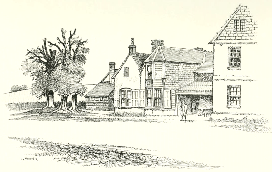
Winterslow Hut

Winterslow Hut was a late 17th-century coaching inn on the London to Exeter stagecoach route at Winterslow, Wiltshire, England. Its isolated location on...
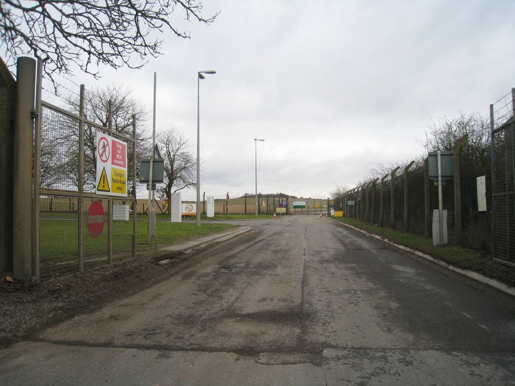
Porton Down

Porton Down is a science and defence technology campus in Wiltshire, England, just north-east of the village of Porton, near Salisbury. It is home to two...

Ashleys Copse

Ashley's Copse is the site of an Iron Age hillfort, about 8 miles (13 km) northeast of the city of Salisbury, England, straddling the border between the...

Idmiston Halt railway station

Idmiston Halt railway station served Porton Down military camp in Idmiston, Wiltshire, England, from 1943 to 1968 on the West of England line. == History... ==

Winterslow

Winterslow is a civil parish with a population of around 2,000, about 6 miles (10 km) northeast of Salisbury in Wiltshire, England, and lying south of...

Firsdown

Firsdown is a civil parish in Wiltshire, England, 5 miles (8.0 km) northeast of Salisbury. Before the 1950s the area was sparsely populated downland within...

All Saints Church, Idmiston

All Saints Church in Idmiston, Wiltshire, England, was built in the 12th century. It is recorded in the National Heritage List for England as a Grade I...

Have you been to Blake's Firs?

Leave your review of Blake's Firs below (or comments, questions and feedback).