Brick Kiln Wood

Wood, Forest in Durham

England

Brick Kiln Wood

River Wear at Page Bank A rural scene today, but in the early 1900s there was a colliery with associated coke works and brick works alongside a colliery village at Page Bank, served by a branch line from Spennymoor.
River Wear at Page Bank Credit: David Robinson

Brick Kiln Wood, located in Durham, is a picturesque woodland area known for its natural beauty and rich biodiversity. Covering an area of approximately 50 acres, this forest is a popular destination for nature lovers and outdoor enthusiasts.

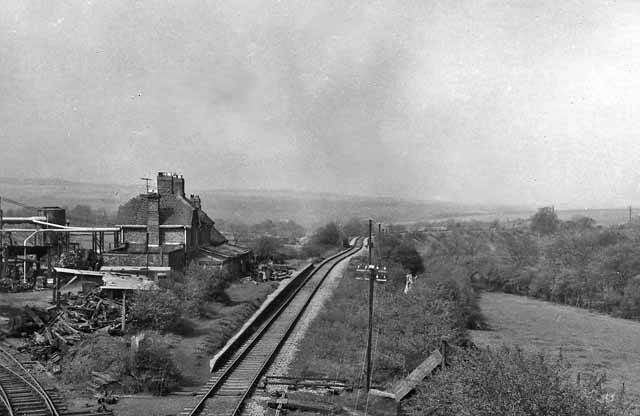
The wood is named after the brick kilns that were once used here to produce bricks for local construction. While the kilns are no longer in operation, their remnants can still be seen, adding a touch of historical significance to the area.

The woodland is predominantly made up of native broadleaf trees, including oak, ash, and birch, creating a diverse and vibrant ecosystem. The forest floor is adorned with a variety of wildflowers, creating a colorful and enchanting atmosphere during the spring and summer months.

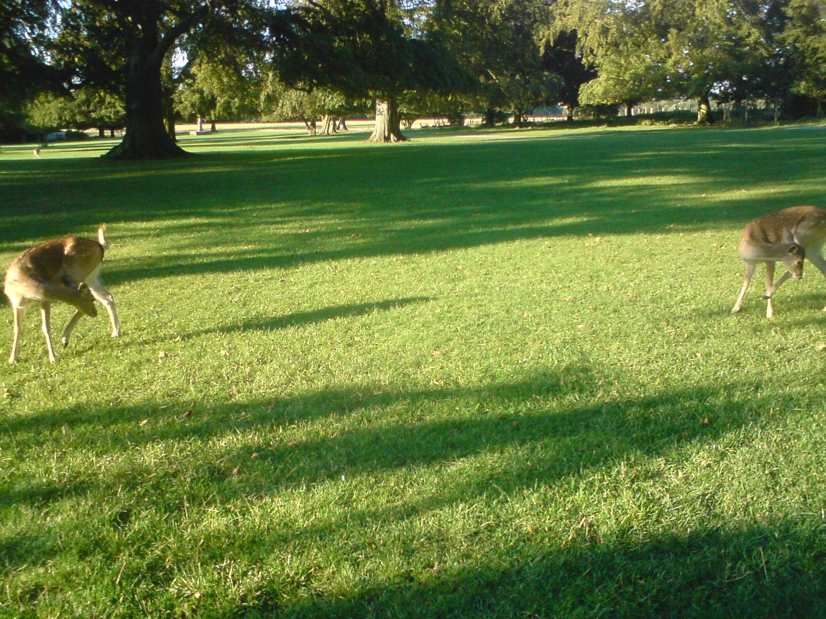
Brick Kiln Wood is home to numerous species of birds, making it a birdwatcher's paradise. Visitors can spot a range of avian species, including woodpeckers, thrushes, and owls. Additionally, the woodland provides a habitat for other wildlife, such as squirrels, rabbits, and deer.

The wood offers several walking trails and paths, allowing visitors to explore its beauty at their own pace. These paths are well-maintained and provide access to different areas of the woodland, offering a chance to discover hidden gems and secluded spots.

Brick Kiln Wood is a tranquil and peaceful retreat, providing a serene escape from the hustle and bustle of city life. Its natural beauty, diverse wildlife, and historical significance make it a must-visit destination for nature enthusiasts and those seeking a connection with the great outdoors.

If you have any feedback on the listing, please let us know in the comments section below.

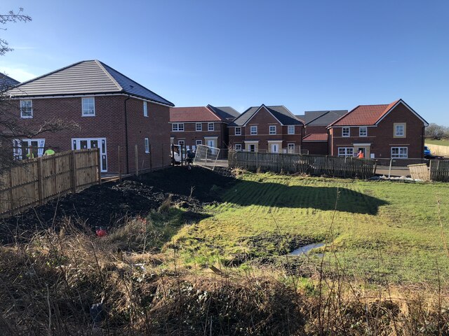
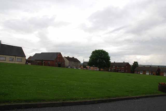
Brick Kiln Wood Images

Images are sourced within 2km of 54.708529/-1.6406656 or Grid Reference NZ2334. Thanks to Geograph Open Source API. All images are credited.

River Wear at Page Bank A rural scene today, but in the early 1900s there was a colliery with associated coke works and brick works alongside a colliery village at Page Bank, served by a branch line from Spennymoor.
River Wear at Page Bank
A rural scene today, but in the early 1900s there was a colliery with associated coke works and brick works alongside a colliery village at Page Bank, served by a branch line from Spennymoor.
River Wear Near Page Bank
River Wear Near Byers Green
Lowfield Farm
Lowfield Farm
Cattle At The Grange
Auckland Way Railway Path The Auckland Way uses the former railway alignment between Bishop Auckland and Spennymoor. The earliest part of the railway opened in 1841, linking Byers Green to the Clarence Railway's route to Teesside at Ferryhill. The Clarence Railway was en early competitor to the Stockton & Darlington Railway, active in the transportation of coal from Durham collieries to ports on the Tees. The North Eastern Railway extended the line in 1885, infilling the gap between Bishop Auckland and Byers Green. The last part to open was the first to lose its passenger service in 1939, the remaining services to Spennymoor were withdrawn in 1952.
Auckland Way Railway Path
The Auckland Way uses the former railway alignment between Bishop Auckland and Spennymoor. The earliest part of the railway opened in 1841, linking Byers Green to the Clarence Railway's route to Teesside at Ferryhill. The Clarence Railway was en early competitor to the Stockton & Darlington Railway, active in the transportation of coal from Durham collieries to ports on the Tees. The North Eastern Railway extended the line in 1885, infilling the gap between Bishop Auckland and Byers Green. The last part to open was the first to lose its passenger service in 1939, the remaining services to Spennymoor were withdrawn in 1952.
Footpath To Hagg Plantation
Hagg Lane Track linking Byers Green and Whitworth, also a public footpath.
Hagg Lane
Track linking Byers Green and Whitworth, also a public footpath.
Track Crossing Burton Beck
New Housing Development, Spennymoor Extension of the Burton Woods development in Spennymoor.
New Housing Development, Spennymoor
Extension of the Burton Woods development in Spennymoor.
Path through Spring Wood
Whitworth Hall Hotel Grounds With fallow deer and the Bobby Shafto memorial beyond
Whitworth Hall Hotel Grounds
With fallow deer and the Bobby Shafto memorial beyond
Whitworth Parish Church View of the west gable which has two shelters for medieval effigies of a lady and a knight
Whitworth Parish Church
View of the west gable which has two shelters for medieval effigies of a lady and a knight
Footpath to the River Wear Footpath to the River Wear near Willington.
Footpath to the River Wear
Footpath to the River Wear near Willington.
Outbuildings at Lowfield Farm The Weardale Way long distance footpath squeezes between the river and the farmyard at Lowfield, near Willington
Outbuildings at Lowfield Farm
The Weardale Way long distance footpath squeezes between the river and the farmyard at Lowfield, near Willington
Lowfield Farm The field to the west of Lowfield Farm is difficult to negotiate due to much bog and mud, through which the Weardale Way ploughs through. Although it looks benign in the photograph.
Advisable to keep to the riverbank instead.
Lowfield Farm
The field to the west of Lowfield Farm is difficult to negotiate due to much bog and mud, through which the Weardale Way ploughs through. Although it looks benign in the photograph. Advisable to keep to the riverbank instead.
Weardale Way passing by Lowfield Farm The long distance path follows a wide farm track, squeezed between farm outbuildings and the riverbank
Weardale Way passing by Lowfield Farm
The long distance path follows a wide farm track, squeezed between farm outbuildings and the riverbank
Wooded Track beside the River Wear Route of the Weardale Way long distance footpath between Lowfield Farm and Page Bank - the river being concealed by vegetation
Wooded Track beside the River Wear
Route of the Weardale Way long distance footpath between Lowfield Farm and Page Bank - the river being concealed by vegetation
Show me another place!

Brick Kiln Wood is located at Grid Ref: NZ2334 (Lat: 54.708529, Lng: -1.6406656)

Unitary Authority: County Durham

Police Authority: Durham

What 3 Words

///reassured.wages.wealth. Near Spennymoor, Co. Durham

Related Wikis

Whitworth Hall Country Park

Whitworth Hall Country Park is a parkland based set in 73 acres (300,000 m2) 8 miles (13 km) from Durham in England, which rests on the outskirts of the...

Whitworth Hall, County Durham

Whitworth Hall which stands in Whitworth Hall Country Park, near Spennymoor, County Durham England, is a country house, formerly the home of the Shafto...

Page Bank

Page Bank is a village in County Durham, in England. It is situated on the north bank of the River Wear to the east of Willington and to the north-west...

Whitworth, County Durham

Whitworth was a civil parish in County Durham, in England, centred on Whitworth Hall. It was one of several parishes abolished in 1937 to create the parish...

Byers Green

Byers Green is a village and former civil parish, now in the parish of Spennymoor, in the County Durham district, in the ceremonial county of Durham, England...

Byers Green railway station

Byers Green railway station was one of three railway stations that served in the village of Byers Green in County Durham, Northeast England. == History... ==

Todhills, County Durham

Todhills is a village in County Durham, in England. It is situated a few miles to the north of Bishop Auckland, between Newfield and Byers Green. ��2...

Tudhoe Grange

Tudhoe Grange is a suburb of Spennymoor, in County Durham, in England. Originally it was just a couple of farms on the edge of Tudhoe township, swallowed...

Nearby Amenities

Located within 500m of 54.708529,-1.6406656
Deer: yes
Lat/Long: 54.7070932/-1.633735
Barrier: entrance
Lat/Long: 54.7073669/-1.6407244
Barrier: entrance
Lat/Long: 54.7062546/-1.6370521
Power: pole
Lat/Long: 54.7108628/-1.6340286
Power: pole
Lat/Long: 54.7103669/-1.6347688
Power: pole
Lat/Long: 54.7098897/-1.6354716
Power: pole
Lat/Long: 54.7094357/-1.6365217
The data included in this document is from www.openstreetmap.org. The data is made available under ODbL.

Have you been to Brick Kiln Wood?

Leave your review of Brick Kiln Wood below (or comments, questions and feedback).