Beggar Wood
Wood, Forest in Durham
England
Beggar Wood

Beggar Wood is a picturesque woodland located in Durham, England. Nestled within the larger area known as the Durham Dales, this forested area offers a serene and tranquil escape from the hustle and bustle of city life. Spread across approximately 100 acres, Beggar Wood showcases the natural beauty of the region.
The woodland is home to a diverse range of flora and fauna, making it a haven for nature enthusiasts and wildlife lovers. Ancient oak and beech trees dominate the landscape, their towering presence creating a majestic ambiance. Walking through the wood, visitors can encounter a carpet of bluebells in the springtime, adding a splash of color to the forest floor. The air is often filled with the sweet scent of wildflowers and the chorus of birdsong.
The forest is crisscrossed with well-maintained walking trails, providing ample opportunities for exploration. These paths wind through the wood, taking visitors past babbling brooks, small streams, and hidden glades. One can also stumble upon hidden gems such as enchanting waterfalls and secluded ponds, adding an element of surprise to any visit.
Beggar Wood is not only a natural haven but also holds historical significance. It is believed that the wood was once a hiding place for beggars and outlaws, hence its name. Today, it stands as a testament to the area's rich heritage and offers a glimpse into the past.
With its tranquil atmosphere, diverse wildlife, and scenic beauty, Beggar Wood is a must-visit destination for anyone seeking a peaceful retreat in the heart of Durham's countryside.
If you have any feedback on the listing, please let us know in the comments section below.
Beggar Wood Images
Images are sourced within 2km of 54.934645/-1.6398245 or Grid Reference NZ2360. Thanks to Geograph Open Source API. All images are credited.


Beggar Wood is located at Grid Ref: NZ2360 (Lat: 54.934645, Lng: -1.6398245)
Unitary Authority: Gateshead
Police Authority: Northumbria
What 3 Words
///feast.organs.solid. Near Whickham, Tyne & Wear
Nearby Locations
Related Wikis

Emmanuel College, Gateshead
Emmanuel College is a secondary school and sixth form college (years 7-13) based in Gateshead, England. It was founded in 1990 as a City Technology College...
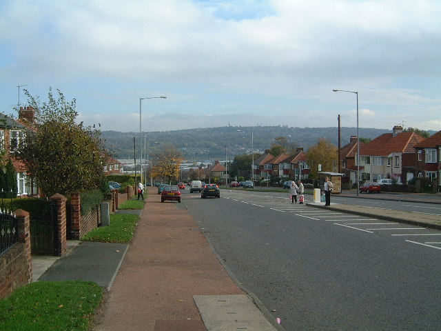
Lobley Hill
Lobley Hill is located in the west of the old County Borough of Gateshead within the Metropolitan Borough of Gateshead in Tyne and Wear, North East England...
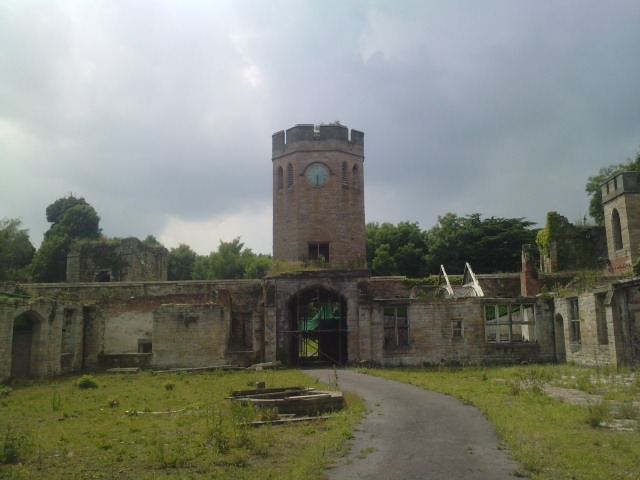
Ravensworth Castle, Lamesley
Ravensworth Castle is a ruinous Grade II* listed building and a Scheduled Ancient Monument situated at Lamesley, Tyne and Wear, England. The building has...

Team Valley
Team Valley is a trading estate located in Gateshead. It is home to the Retail World retail park, with many large, international companies based in the...
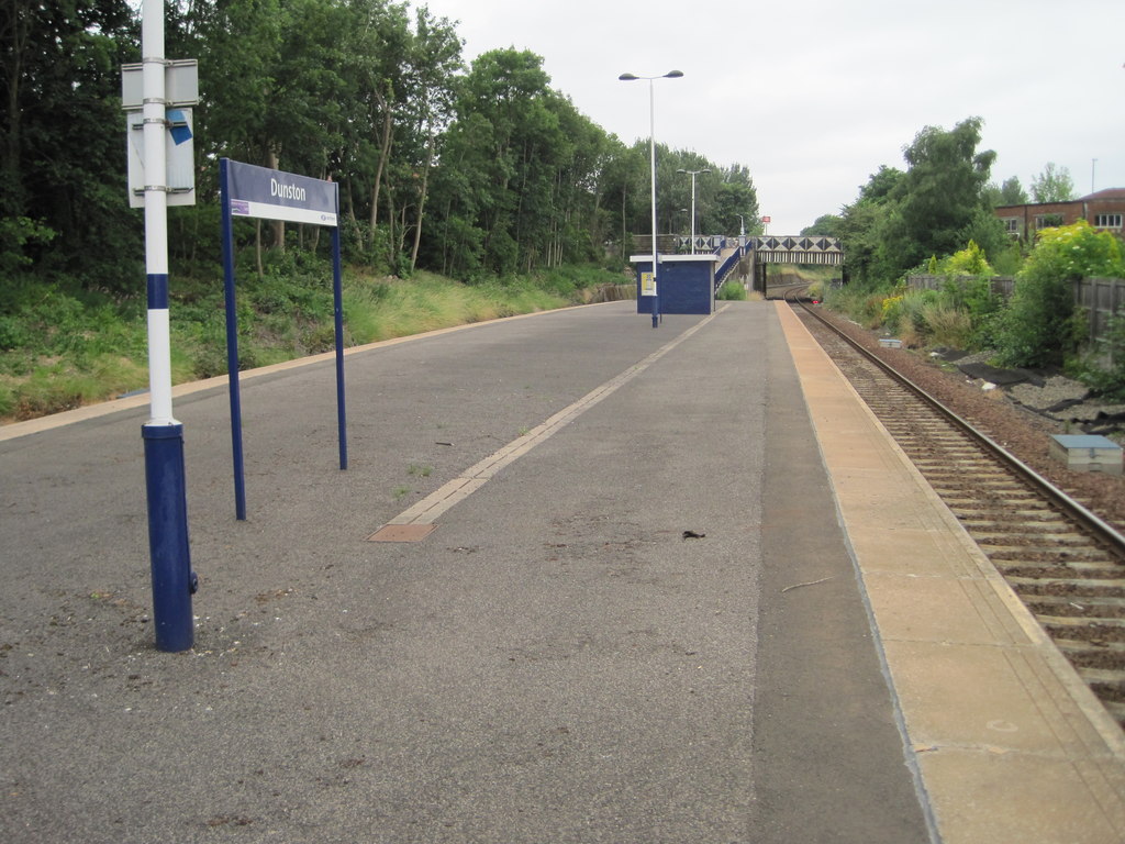
Dunston railway station
Dunston is a railway station on the Tyne Valley Line, which runs between Newcastle and Carlisle via Hexham. The station, situated 2 miles 23 chains (2...

Dunston Hill Hospital
Dunston Hill Hospital was a hospital in Gateshead, Tyne and Wear. It was managed by Gateshead Health NHS Foundation Trust. == History == The hospital had...
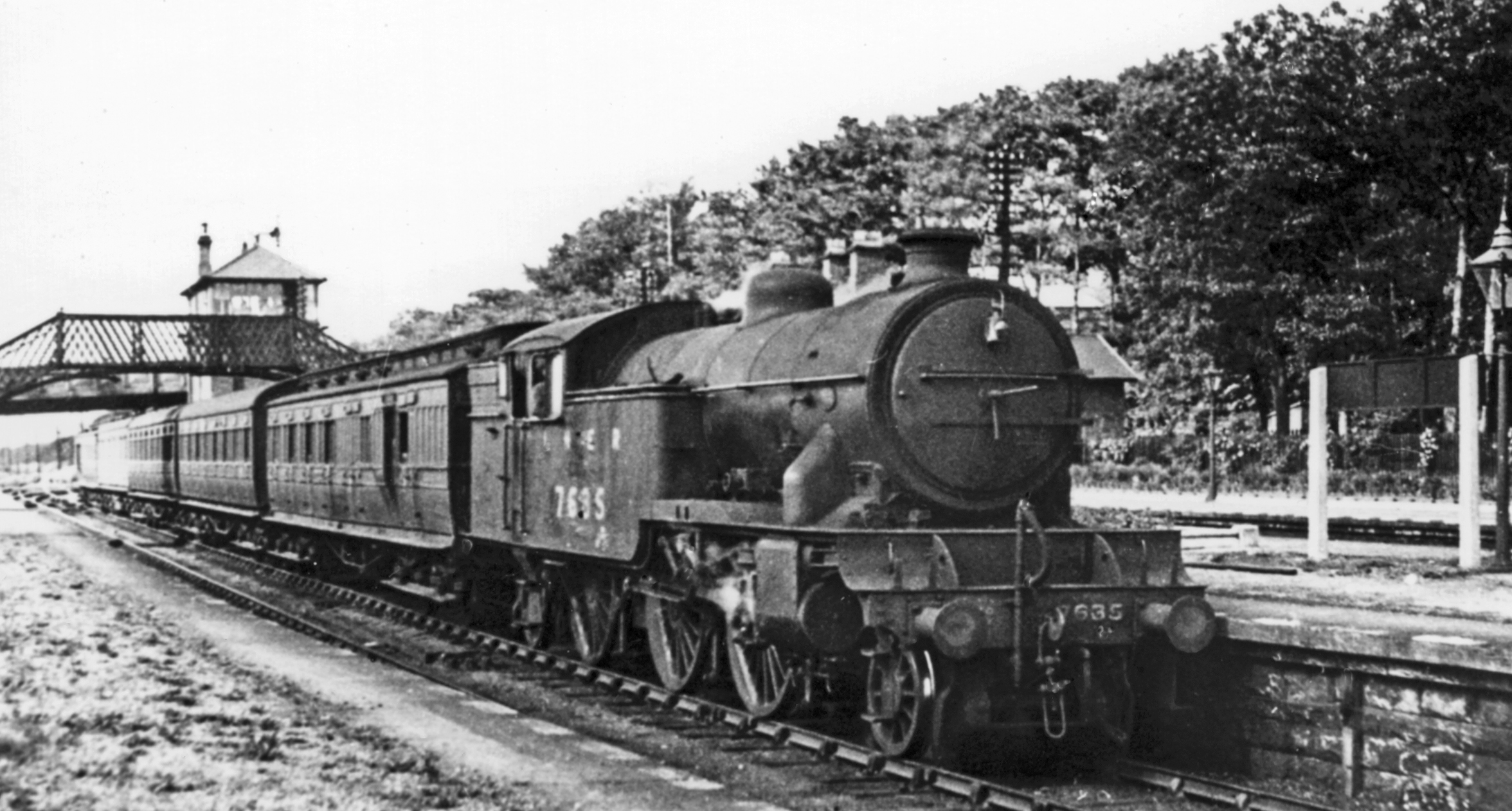
Low Fell railway station
Low Fell railway station served the Low Fell area of Gateshead between 1868 and 1952. == History == The station was opened by the North Eastern Railway...

Dunston, Tyne and Wear
Dunston is a western area of the town of Gateshead on the south bank of the River Tyne, in the Metropolitan Borough of Gateshead, North East England (into...
Nearby Amenities
Located within 500m of 54.934645,-1.6398245Have you been to Beggar Wood?
Leave your review of Beggar Wood below (or comments, questions and feedback).