Ironswell Wood
Wood, Forest in Hampshire New Forest
England
Ironswell Wood
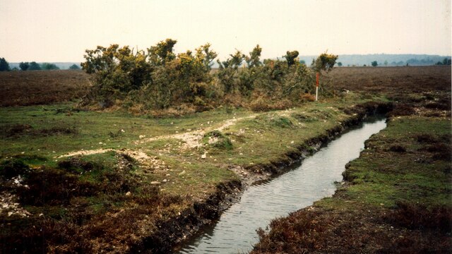
Ironswell Wood is a beautiful woodland located in the county of Hampshire, England. Covering an area of approximately 50 acres, it is a popular destination for nature enthusiasts and outdoor lovers. The wood is situated near the village of Ironswell, offering a peaceful and serene environment for visitors to enjoy.
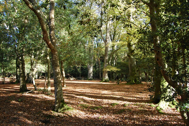
The woodland is characterized by its diverse range of trees and vegetation, including oak, beech, and birch. These towering trees provide a dense canopy, creating a shaded and cool atmosphere even on hot summer days. The forest floor is adorned with a carpet of vibrant wildflowers, adding bursts of color to the surroundings.
Ironswell Wood is teeming with wildlife, making it a haven for animal lovers and bird watchers. Visitors may spot a variety of species, including deer, squirrels, foxes, and a plethora of bird species. The tranquil setting of the wood provides ample opportunities for photographers and nature enthusiasts to capture these animals in their natural habitat.
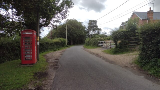
The wood is intersected by several walking trails, allowing visitors to explore its natural beauty at their own pace. These well-maintained paths wind through the forest, providing breathtaking views and opportunities to immerse oneself in the peacefulness of nature. Additionally, there are designated picnic areas and benches scattered throughout the wood, providing the perfect spots for visitors to relax and enjoy a picnic surrounded by the serene sounds of nature.
Ironswell Wood is a true gem in the Hampshire countryside, offering a tranquil escape and a chance to reconnect with nature. Its beauty and biodiversity make it a must-visit destination for anyone seeking a peaceful and rejuvenating experience in the heart of England.
If you have any feedback on the listing, please let us know in the comments section below.
Ironswell Wood Images
Images are sourced within 2km of 50.932002/-1.6726162 or Grid Reference SU2314. Thanks to Geograph Open Source API. All images are credited.


Ironswell Wood is located at Grid Ref: SU2314 (Lat: 50.932002, Lng: -1.6726162)
Administrative County: Hampshire
District: New Forest
Police Authority: Hampshire
What 3 Words
///depth.bronzes.jigsaw. Near Cadnam, Hampshire
Nearby Locations
Related Wikis
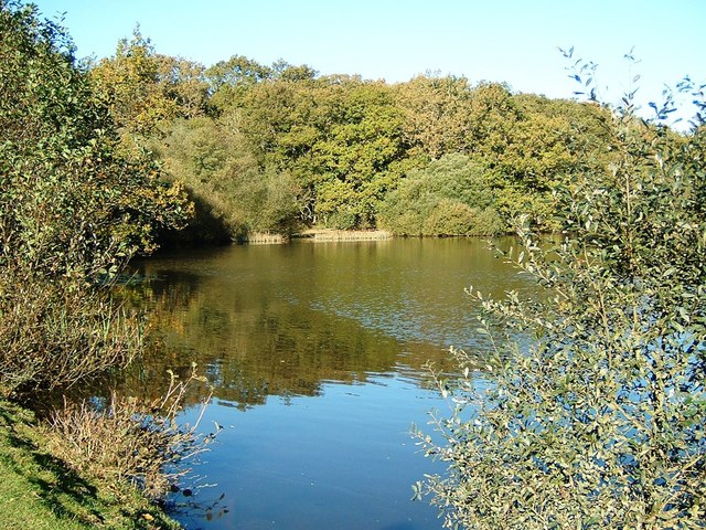
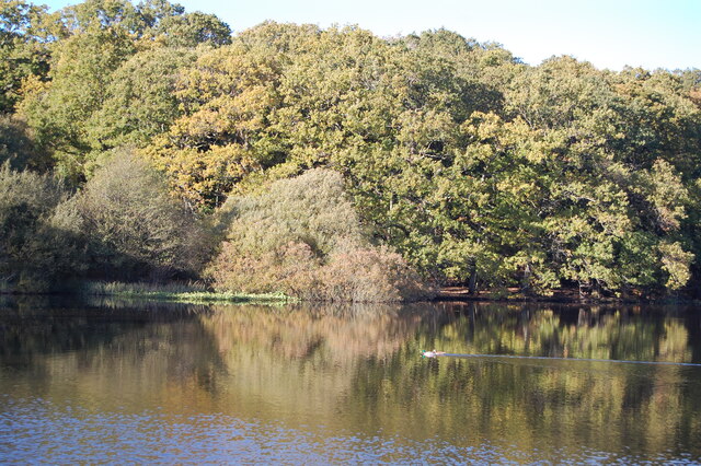
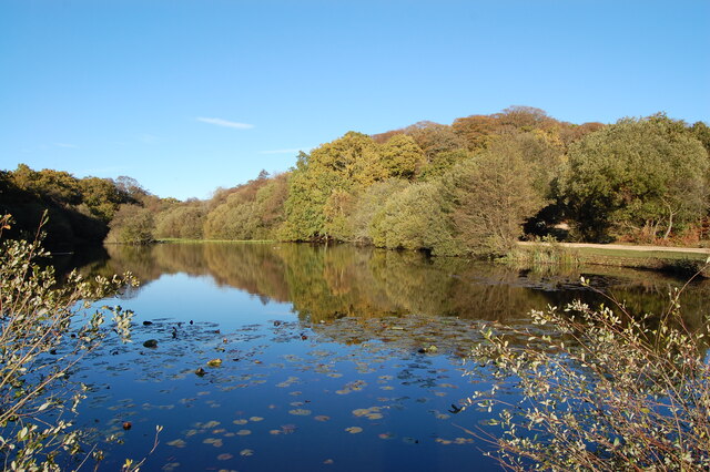
Eyeworth Pond
Eyeworth Pond is a pond located near Fritham in the New Forest, in Hampshire, England. The pond was created in 1871 by damming Latchmore Brook, with the...

Fritham
Fritham is a small village in Hampshire, England. It lies in the north of the New Forest, near the Wiltshire border. It is in the civil parish of Bramshaw...

RAF Stoney Cross
Royal Air Force Stoney Cross or more simply RAF Stoney Cross is a former Royal Air Force station in the New Forest, Hampshire, England. The airfield is...

Ocknell Plain
Ocknell Plain can be found in the New Forest near Southampton, England. The area was used in World War II for the Stoney Cross airfield and it is now very...

Ashley Range
Ashley Range is a former World War II bombing range in the New Forest, Hampshire, England. The range is approximately 5 mi (8.0 km) north-west of Lyndhurst...

Nomansland, Wiltshire
Nomansland is a small village in Wiltshire, England, close to the county border with Hampshire. It is part of the parish of Landford and lies about 3.5...

Bramshaw
Bramshaw is a small village and civil parish in Hampshire, England. It lies just inside the New Forest. The name Bramshaw means Bramble Wood. Until 1895...
Upper Canterton
Upper Canterton is a village in Hampshire, England, located at 50°54′36″N 1°37′24″W. It is near Minstead. == References == The geographic coordinates are...
Nearby Amenities
Located within 500m of 50.932002,-1.6726162Have you been to Ironswell Wood?
Leave your review of Ironswell Wood below (or comments, questions and feedback).