Oak Covert

Wood, Forest in Derbyshire Derbyshire Dales

England

Oak Covert

Church Lane junction Derby Lane, Shirley
Church Lane junction Derby Lane, Shirley Credit: Peter Turner

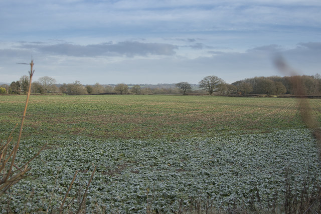
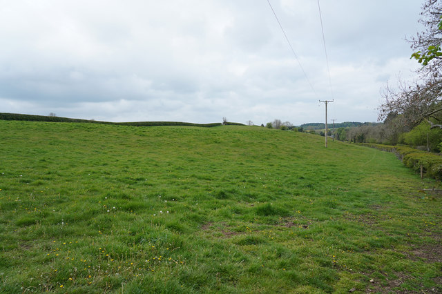
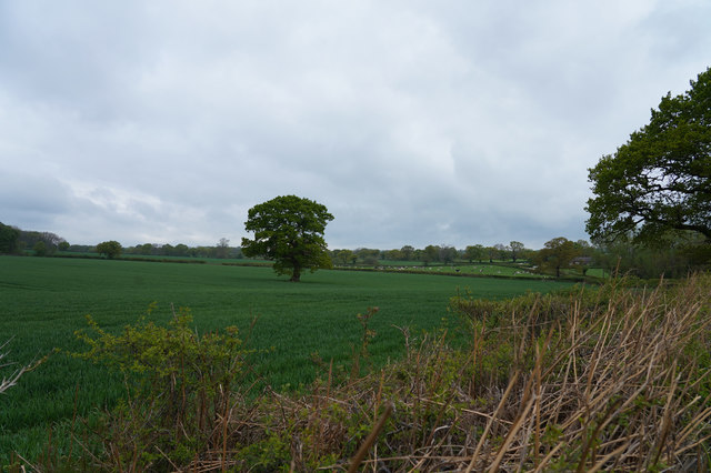
Oak Covert is a picturesque woodland located in the county of Derbyshire, England. Spread across an area of approximately 100 acres, it is nestled within the heart of the Peak District National Park. The woodland is primarily composed of oak trees, which dominate the landscape, giving it its charming and distinctive character.

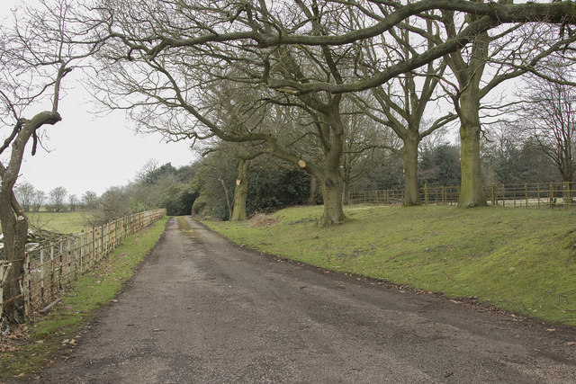
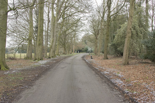
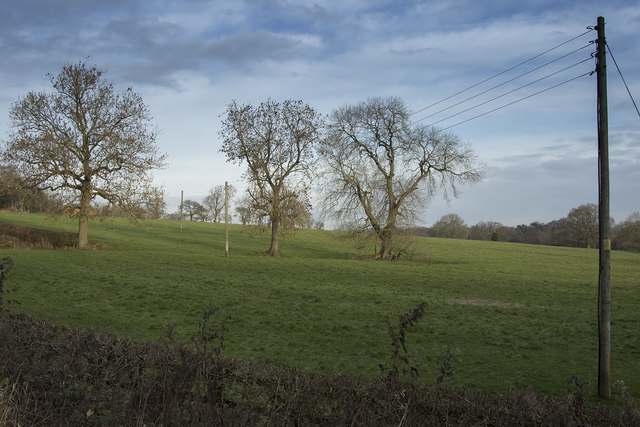
As one ventures into Oak Covert, they are greeted by a tranquil and serene atmosphere. The dense canopy of oak trees provides a natural shade, making it an ideal destination for nature enthusiasts and hikers seeking refuge from the sun. The forest floor is covered in a thick layer of fallen leaves, creating a soft and cushioned path for visitors to explore.

The wildlife in Oak Covert is abundant and diverse. The woodland serves as a habitat for various species of birds, including woodpeckers, owls, and thrushes. Small mammals such as squirrels and rabbits can also be spotted scurrying among the trees. In addition, the woodland is home to a variety of insects and invertebrates, which play a vital role in the ecosystem.

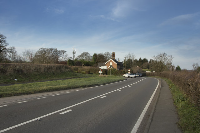
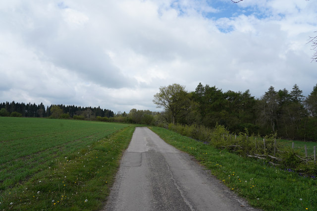
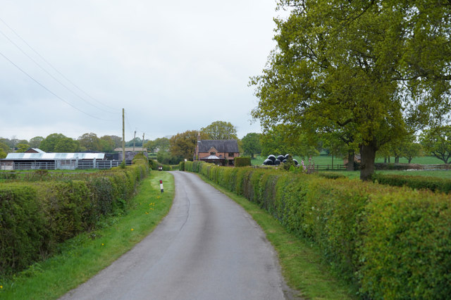
Oak Covert is a popular destination for outdoor activities such as walking, jogging, and picnicking. It offers a network of well-maintained trails that wind their way through the woodland, allowing visitors to immerse themselves in the natural beauty of the surroundings. The peaceful ambiance and breathtaking scenery make Oak Covert a haven for those seeking a tranquil escape from the bustling city life.

Overall, Oak Covert in Derbyshire is a captivating woodland that showcases the beauty of nature at its finest. With its ancient oak trees, diverse wildlife, and recreational opportunities, it is a cherished natural gem within the Peak District National Park.

If you have any feedback on the listing, please let us know in the comments section below.
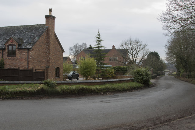
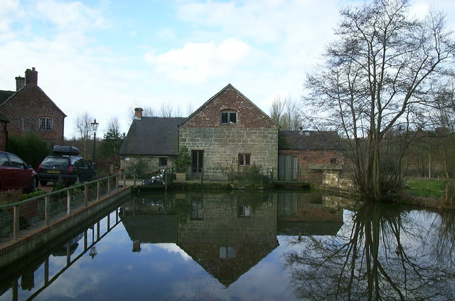
Oak Covert Images

Images are sourced within 2km of 52.984417/-1.6584451 or Grid Reference SK2343. Thanks to Geograph Open Source API. All images are credited.

Church Lane junction Derby Lane, Shirley
Church Lane, Shirley
Cottages in Shirley These cottages have a lot of age looking at the small bricks out of which they are constructed.
Cottages in Shirley
These cottages have a lot of age looking at the small bricks out of which they are constructed.
Fields near Shirley The farmers in this area are really on top of their game as many of the fields are showing strong fresh growth on the newly planted crops.
Fields near Shirley
The farmers in this area are really on top of their game as many of the fields are showing strong fresh growth on the newly planted crops.
The edge of Ednaston Fairly modern detached houses on the edge of Ednaston. The entrance to Ednaston Hall is behind and to the right of the camera position.
The edge of Ednaston
Fairly modern detached houses on the edge of Ednaston. The entrance to Ednaston Hall is behind and to the right of the camera position.
Ednaston Hall drive Quite a lot of work has been carried out to the trees lining the drive as many large branches had been cut off.
Ednaston Hall drive
Quite a lot of work has been carried out to the trees lining the drive as many large branches had been cut off.
Looking towards St. Mary's Nursing home This is the tree lined drive to St. Mary's Nursing Home. It is a quiet and peaceful place.
Looking towards St. Mary's Nursing home
This is the tree lined drive to St. Mary's Nursing Home. It is a quiet and peaceful place.
Brailsford Mill Converted water mill at Brailsford, viewed across the mill pond.
Brailsford Mill
Converted water mill at Brailsford, viewed across the mill pond.
Frosty fields The fields belong to Corner Farm and where they are shaded by the hedge are still covered by frost.
Frosty fields
The fields belong to Corner Farm and where they are shaded by the hedge are still covered by frost.
The road junction to Shirley Taken from the pavement besides the road to Ashbourne showing the road junction to Shirley.
The road junction to Shirley
Taken from the pavement besides the road to Ashbourne showing the road junction to Shirley.
Across the fields A winters morning showing bare trees and grassy fields.
Across the fields
A winters morning showing bare trees and grassy fields.
The track to Bradley Oldpark South The good surface seen here soon deteriorates as it goes towards Bradley Oldpark South.
The track to Bradley Oldpark South
The good surface seen here soon deteriorates as it goes towards Bradley Oldpark South.
A public footpath Not a much used footpath judging from the lack of an obvious route under the low voltage electricity cables.
A public footpath
Not a much used footpath judging from the lack of an obvious route under the low voltage electricity cables.
Looking across the fields The fields are probably Cave Farm and the crop that is growing looks extremely healthy.
Looking across the fields
The fields are probably Cave Farm and the crop that is growing looks extremely healthy.
Near Homestead Farm Well tended hedges line the road on either side as we approach Hoemstead Farm.
Near Homestead Farm
Well tended hedges line the road on either side as we approach Hoemstead Farm.
Shirley Park Farm Looking to the left of Bonnie Prince Charlie Walk across the fields of Shirley Park Farm with the inevitable yellow of Oil Seed Rape flowers.
Shirley Park Farm
Looking to the left of Bonnie Prince Charlie Walk across the fields of Shirley Park Farm with the inevitable yellow of Oil Seed Rape flowers.
Shirley, St Michael
Shirley, St Michael
St. Michael's Church This St. Michael's church is in Shirley which is another small Derbyshire village.  The grass in the graveyard has been allowed to get rather longer than that in St. Michael's Church Kirk Langley.
St. Michael's Church
This St. Michael's church is in Shirley which is another small Derbyshire village. The grass in the graveyard has been allowed to get rather longer than that in St. Michael's Church Kirk Langley.
Show me another place!

Oak Covert is located at Grid Ref: SK2343 (Lat: 52.984417, Lng: -1.6584451)

Administrative County: Derbyshire

District: Derbyshire Dales

Police Authority: Derbyshire

What 3 Words

///second.eased.quibble. Near Ashbourne, Derbyshire

Nearby Locations

Oak Covert Alder Carr

Related Wikis

Ednaston Manor

Ednaston Manor is a country house in Ednaston, near Brailsford, Derbyshire, England. It was built in 1912–19 in a Queen Anne style by Edwin Lutyens, for...

Yeldersley

Yeldersley is a manor mentioned in the Domesday book. It is located near Ashbourne in Derbyshire. Today there is Yeldersley Hall. This hamlet had a population...

Shirley, Derbyshire

Shirley is a small village and civil parish in Derbyshire, 4 miles (6 km) south-east of Ashbourne. The population of the civil parish as taken at the 2011...

St Michael's Church, Shirley

St Michael's Church, Shirley is a Grade II* listed parish church in the Church of England: 318  in Shirley, Derbyshire. == History == The church dates...

All Saints' Church, Brailsford

All Saints’ Church, Brailsford is a Grade I listed parish church in the Church of England in Brailsford, Derbyshire. == History == The church dates from...

Yeldersley Hall, Derbyshire

Yeldersley Hall is a building of historical significance in Ashbourne, Derbyshire, England and is listed on the English Heritage Register. It was built...

Bradley, Derbyshire

Bradley is a village and civil parish in Derbyshire just east of Ashbourne. The population of the civil parish taken at the 2011 Census was 313. Other...

Brailsford

Brailsford (52°58′16″N 1°37′26″W) is a small red-brick village and civil parish in Derbyshire on the A52 midway between Derby and Ashbourne. The parish...

Nearby Amenities

Located within 500m of 52.984417,-1.6584451
The data included in this document is from www.openstreetmap.org. The data is made available under ODbL.

Have you been to Oak Covert?

Leave your review of Oak Covert below (or comments, questions and feedback).