St George's Copse

Wood, Forest in Warwickshire North Warwickshire

England

St George's Copse

M6 goes over Packington Lane
M6 goes over Packington Lane Credit: Ian S

St George's Copse is a picturesque woodland located in the heart of Warwickshire, England. Spanning an area of approximately 20 acres, this enchanting forest is renowned for its natural beauty and diverse ecosystem. The copse is nestled between rolling hills and surrounded by a patchwork of fields, creating a tranquil and idyllic setting for visitors to explore and enjoy.

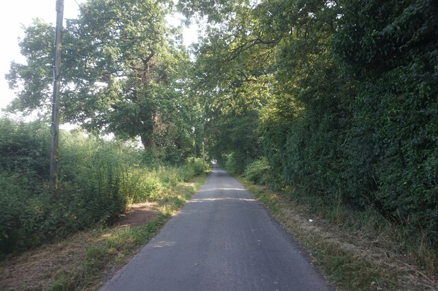
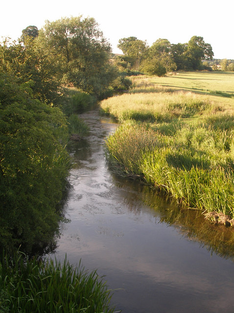
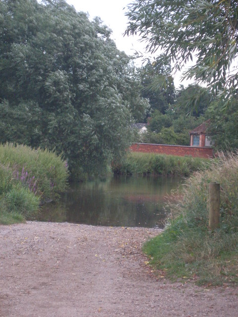
The woodland is predominantly made up of native deciduous trees, including oak, beech, and ash, which provide a rich canopy of shade during the summer months. The forest floor is covered in a thick carpet of moss, ferns, and wildflowers, creating a vibrant and colorful landscape throughout the year. A small stream meanders through the copse, adding to its charm and providing a habitat for various aquatic species.

St George's Copse is a haven for wildlife, with many species calling it home. Bird enthusiasts can spot a variety of feathered inhabitants, including woodpeckers, jays, and owls. Squirrels can be seen darting through the tree branches, while rabbits and badgers make their homes in the undergrowth.

The copse is a popular destination for nature lovers and outdoor enthusiasts, offering a network of well-maintained footpaths and trails that meander through its enchanting terrain. Visitors can enjoy leisurely walks, birdwatching, or simply find a peaceful spot to sit and take in the natural surroundings.

St George's Copse is not only a haven for wildlife and a place of natural beauty but also serves as a vital habitat for the preservation of Warwickshire's biodiversity. It is a cherished gem within the county, providing a tranquil escape for all who venture into its embrace.

If you have any feedback on the listing, please let us know in the comments section below.

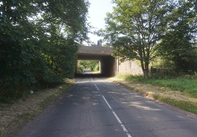
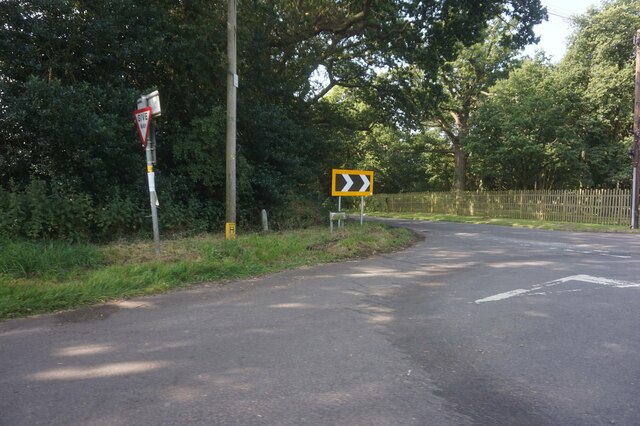
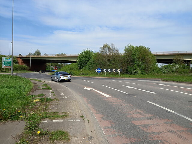
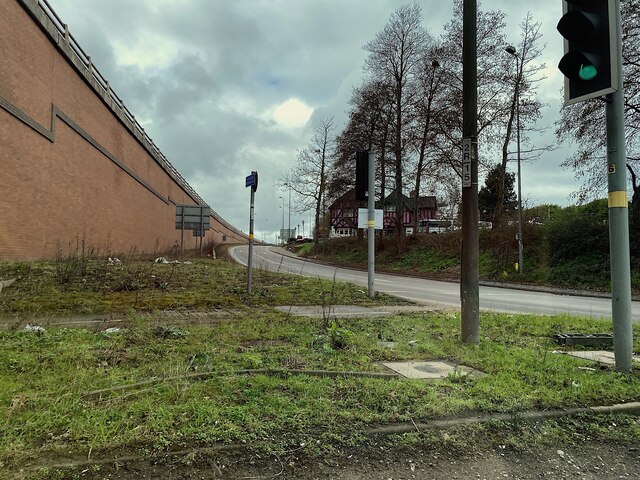
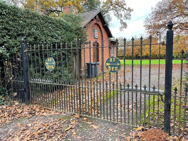
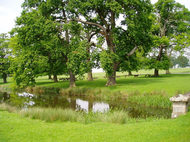
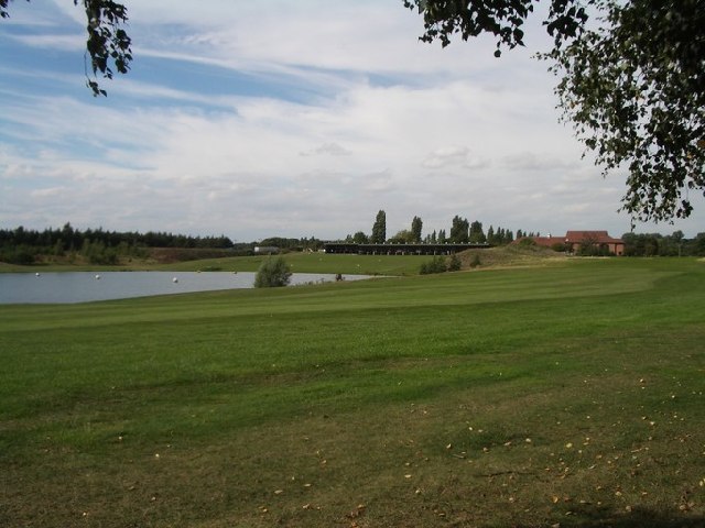
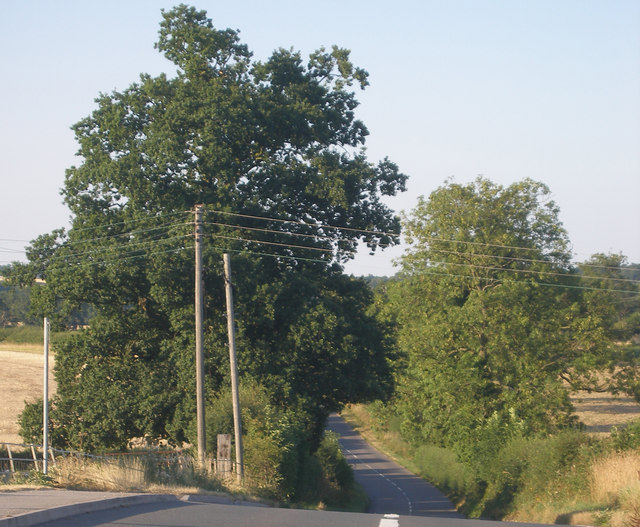
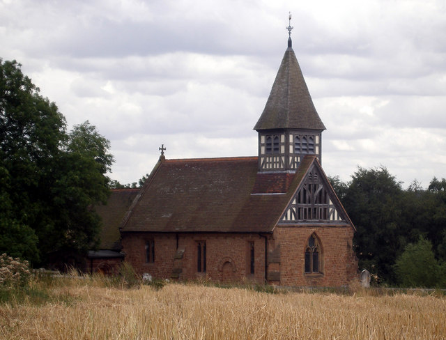
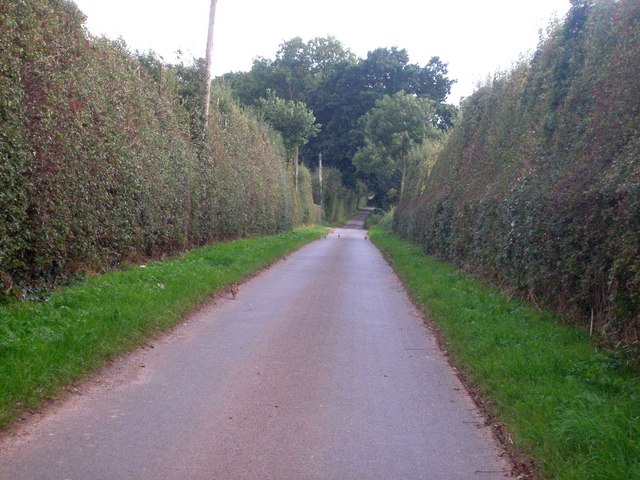
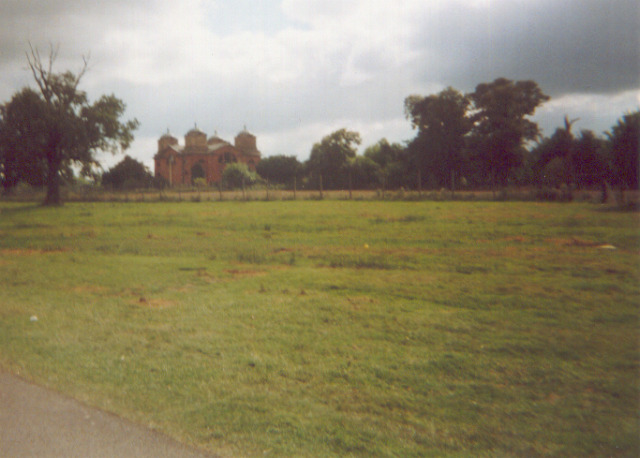
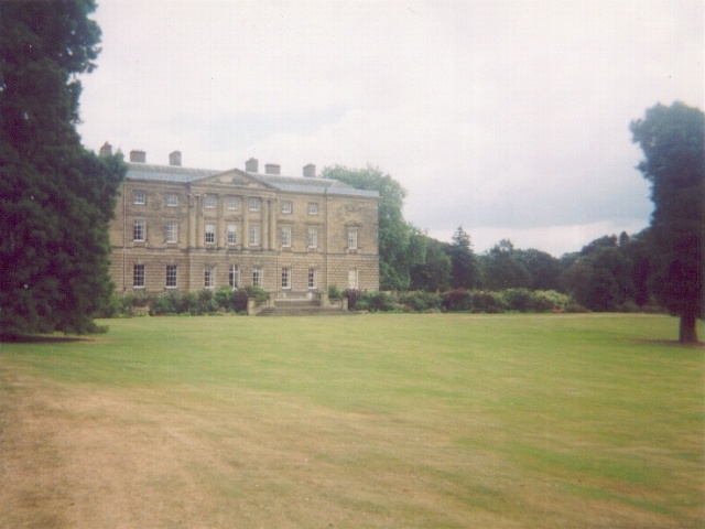
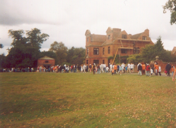
St George's Copse Images

Images are sourced within 2km of 52.453855/-1.6639447 or Grid Reference SP2284. Thanks to Geograph Open Source API. All images are credited.

M6 goes over Packington Lane
Kinwalsey Lane at Packington Lane
Kinwalsey Lane towards Outwoods Farm
A452 Kenilworth Road approaching Stonebridge Island
Slip road from A45, Stonebridge It joins the A452. Up the slope is a branch of Toby Carvery in its pink livery. A large car park is reached from the A452 at this major junction.
Photo number 7567808.
Slip road from A45, Stonebridge
It joins the A452. Up the slope is a branch of Toby Carvery in its pink livery. A large car park is reached from the A452 at this major junction. Photo number 7567808.
Entrance to Forest Hall Forest Hall is the home of the Woodmen of Arden, a traditional archery club founded in 1785. There's something very fitting about its location, on the edge of Meriden, the traditional centre of England.
Entrance to Forest Hall
Forest Hall is the home of the Woodmen of Arden, a traditional archery club founded in 1785. There's something very fitting about its location, on the edge of Meriden, the traditional centre of England.
Packington Park Unbelievable that this tranquil spot is less than 2-miles from the M6 and just over the road from the National Exhibition Centre, but Lord Aylesford built his house here before anyone knew what a motorway was.
Packington Park
Unbelievable that this tranquil spot is less than 2-miles from the M6 and just over the road from the National Exhibition Centre, but Lord Aylesford built his house here before anyone knew what a motorway was.
Stonebridge Golf Course Accessed from Hampton Lane, looking north west from the driveway.
Stonebridge Golf Course
Accessed from Hampton Lane, looking north west from the driveway.
Somers Wood Caravan Park Adjacent to Stonebridge Golf Course and using the same access from Hampton Lane.
Somers Wood Caravan Park
Adjacent to Stonebridge Golf Course and using the same access from Hampton Lane.
Footpath Through Last Year's Stubble Footpath from Brailes Farm heading north towards the wood at Sparrow's Grove.
Footpath Through Last Year's Stubble
Footpath from Brailes Farm heading north towards the wood at Sparrow's Grove.
The River Blythe A very peaceful scene, however the junction of the A45 and A452 is a few yards away.
The River Blythe
A very peaceful scene, however the junction of the A45 and A452 is a few yards away.
Maxstoke Lane Maxstoke Lane from the road junction near The Dairy Farm.
Maxstoke Lane
Maxstoke Lane from the road junction near The Dairy Farm.
Ford at Little Packington School Lane at Little Packington leads to this ford.
Ford at Little Packington
School Lane at Little Packington leads to this ford.
St Bartholomew's, Little Packington Judging from the sign at the entrance, this (one time) church is now a private residence. 

See Wikipedia:
Little Packington is a hamlet in the North Warwickshire district of the county of Warwickshire in England. It is situated just to the north west of Great Packington and outside the boundaries of Packington Park. There is a small, interesting church dedicated to St Bartholomew. It is of Norman origin with medieval timber framing and 17th century internal additions.
<span class="nowrap"><a title="http://en.wikipedia.org/wiki/Little_Packington" rel="nofollow ugc noopener" href="http://en.wikipedia.org/wiki/Little_Packington">Link</a><img style="margin-left:2px;" alt="External link" title="External link - shift click to open in new window" src="https://s1.geograph.org.uk/img/external.png" width="10" height="10"/></span>
St Bartholomew's, Little Packington
Judging from the sign at the entrance, this (one time) church is now a private residence. See Wikipedia: Little Packington is a hamlet in the North Warwickshire district of the county of Warwickshire in England. It is situated just to the north west of Great Packington and outside the boundaries of Packington Park. There is a small, interesting church dedicated to St Bartholomew. It is of Norman origin with medieval timber framing and 17th century internal additions. LinkExternal link
Outwoods, Packington This high sided lane was teaming with young game birds on this particular evening. Most had dispersed by the time I got my camera out. The hare which darted across the lane was also too fast for me.
Outwoods, Packington
This high sided lane was teaming with young game birds on this particular evening. Most had dispersed by the time I got my camera out. The hare which darted across the lane was also too fast for me.
Church at Packington Park
Packington Hall Built in 1693 by Sir Clement Fisher and enlarged in the 1770s. Restored after a fire in 1979. Stands in 300 acres of parkland, remnants of the Forest of Arden.
Packington Hall
Built in 1693 by Sir Clement Fisher and enlarged in the 1770s. Restored after a fire in 1979. Stands in 300 acres of parkland, remnants of the Forest of Arden.
Packington Old Hall Built in 1679 by the Fisher family.
Packington Old Hall
Built in 1679 by the Fisher family.
Show me another place!

St George's Copse is located at Grid Ref: SP2284 (Lat: 52.453855, Lng: -1.6639447)

Administrative County: Warwickshire

District: North Warwickshire

Police Authority: Warwickshire

What 3 Words

///safe.older.leaned. Near Meriden, West Midlands

Related Wikis

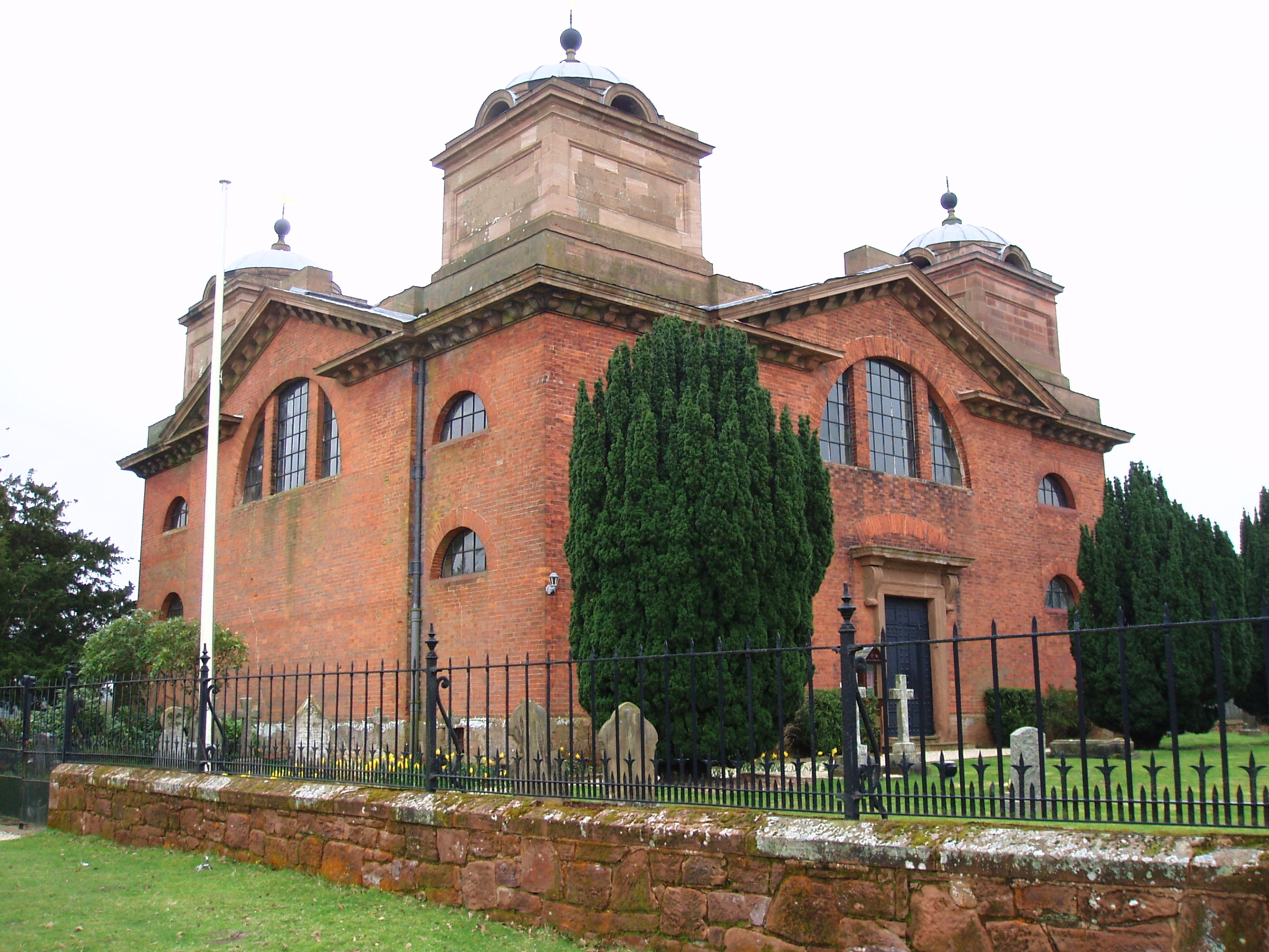
St James' Church, Great Packington

St James' Church is an 18th-century chapel situated in the grounds of Packington Hall, near Meriden, Warwickshire. It is a Grade I listed building. The...

Packington Old Hall

Packington Old Hall is a 17th-century manor house situated at Great Packington, near Meriden, Warwickshire. It is a Grade II* listed building. An original...

Great Packington

Great Packington is a hamlet, civil parish and country park in the North Warwickshire district of Warwickshire, England. The parish of Meriden is to the...

Packington Hall

Packington Hall is a 17th-century mansion situated at Great Packington, near Meriden, Warwickshire, England the seat of the Earl of Aylesford. It is a...

Forest of Arden Hotel and Country Club

The Forest of Arden Hotel & Country Club is a hotel and country club complex in England. Operated by Marriott Hotels & Resorts, it is located 4 miles...

English Open

The English Open was a professional golf tournament held in England. First played in 1988, it was an annual event on the European Tour until 2002. After...

Meriden Rural District

The Meriden Rural District was a rural district of Warwickshire, England, which existed between 1894 and 1974. It was named after the village of Meriden...

Little Packington

Little Packington is a hamlet and civil parish in the North Warwickshire district of the county of Warwickshire, England. It is situated just to the northwest...

Nearby Amenities

Located within 500m of 52.453855,-1.6639447
Fixme: source?
Lat/Long: 52.4513382/-1.6693239
Fixme: source?
Lat/Long: 52.4513856/-1.6683754
Fixme: source?
Lat/Long: 52.4516087/-1.6685085
The data included in this document is from www.openstreetmap.org. The data is made available under ODbL.

Have you been to St George's Copse?

Leave your review of St George's Copse below (or comments, questions and feedback).