Fusilier Plantation
Wood, Forest in Northumberland
England
Fusilier Plantation
Fusilier Plantation is a picturesque woodland area located in Northumberland, England. Spanning over a vast area, this plantation is a captivating blend of dense forests, towering trees, and an array of native wildlife. The plantation is situated in close proximity to the village of Fusilier, hence its name.
The woodland is predominantly composed of various species of trees, including oak, beech, and pine, creating a diverse and enchanting landscape. The plantation is well-maintained, with clear pathways and trails that allow visitors to explore its beauty at their own pace. These paths are often surrounded by thick undergrowth, adding to the charm and serenity of the surroundings.
Fusilier Plantation is a haven for nature enthusiasts and birdwatchers, as it provides a sanctuary for numerous bird species. Visitors may catch glimpses of woodpeckers, owls, and other woodland birds as they navigate through the trees. In addition, the plantation is home to an abundance of small mammals, such as squirrels and rabbits, which can be observed as they go about their daily routines.
The woodland offers a tranquil retreat for those seeking solace in nature. The serene atmosphere, combined with the fresh scent of pine and the soothing sounds of rustling leaves, create a sense of calm and relaxation. The plantation is also a popular destination for hikers and nature lovers who appreciate the beauty of Northumberland's countryside.
Overall, Fusilier Plantation is a captivating woodland area in Northumberland, offering a mesmerizing blend of trees, wildlife, and natural beauty. Whether exploring its trails or simply enjoying the peaceful ambiance, visitors are sure to be enchanted by this picturesque destination.
If you have any feedback on the listing, please let us know in the comments section below.
Fusilier Plantation Images
Images are sourced within 2km of 55.085173/-1.6429544 or Grid Reference NZ2276. Thanks to Geograph Open Source API. All images are credited.


Fusilier Plantation is located at Grid Ref: NZ2276 (Lat: 55.085173, Lng: -1.6429544)
Unitary Authority: Northumberland
Police Authority: Northumbria
What 3 Words
///handbook.sitting.screen. Near Stannington, Northumberland
Nearby Locations
Related Wikis

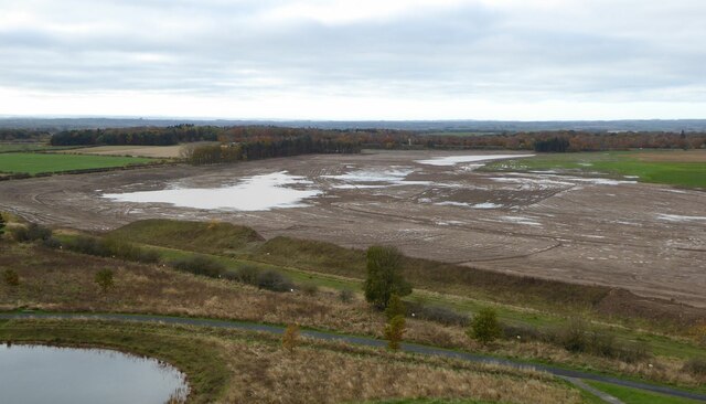
Shotton Surface Mine
Shotton Surface Mine was an open cast coal mine located on the estate of Blagdon Hall, Northumberland, UK, operated by Banks Group. The mine was granted...
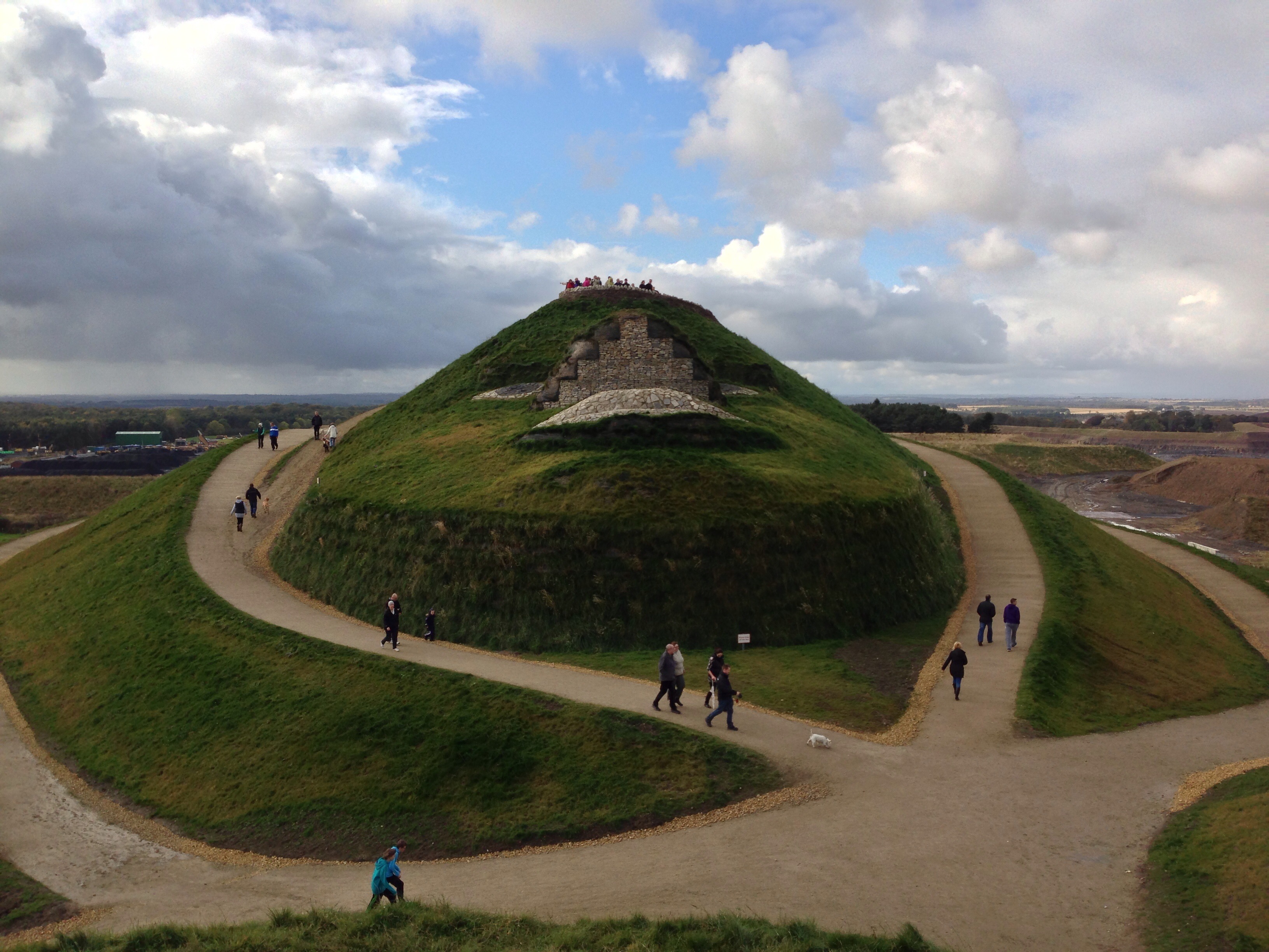
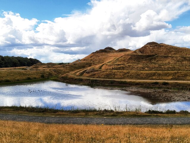
Northumberlandia
Northumberlandia (the "Lady of the North") is a huge land art sculpture in the shape of a reclining female figure, which was completed in 2012, near Cramlington...

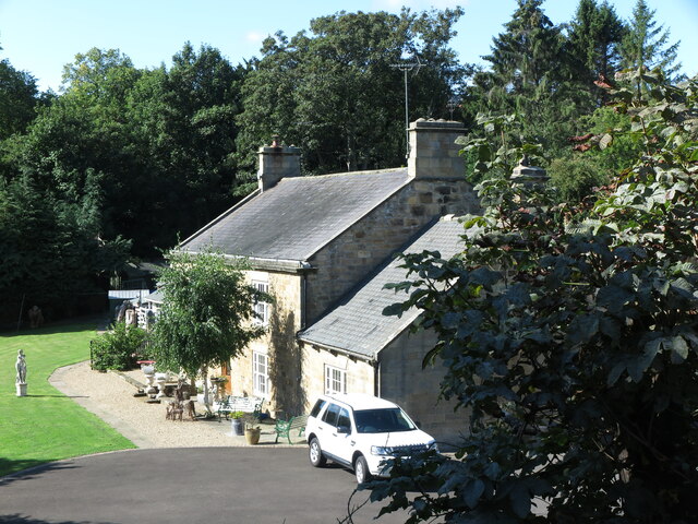
Blagdon Hall
Blagdon Hall (grid reference NZ21557705) is a privately owned English country house near Cramlington in Northumberland. It is a Grade I listed building...

Cramlington Aerodrome
Cramlington Aerodrome was a military airfield established in Northumberland during the First World War. It became a civil airfield serving the Tyneside...
Nearby Amenities
Located within 500m of 55.085173,-1.6429544Have you been to Fusilier Plantation?
Leave your review of Fusilier Plantation below (or comments, questions and feedback).