Ash Well Shrogg

Wood, Forest in Yorkshire

England

Ash Well Shrogg

The Foresters Arms Public house and restaurant in Lower Cumberworth
The Foresters Arms Credit: Graham Hogg

Ash Well Shrogg is a picturesque woodland area located in the county of Yorkshire, England. Situated in the heart of the region, it covers an area of approximately 200 acres and is known for its dense forest and pristine natural beauty. The name "Shrogg" is derived from the Old English word "scrog," meaning a small woodland or copse, which aptly describes the character of this enchanting place.

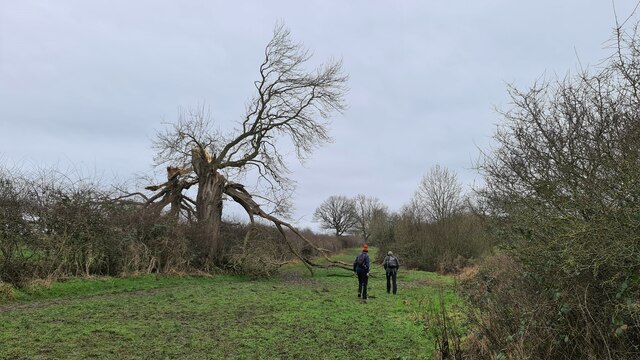
The woodland is primarily composed of ash trees, which give the area its name, and is home to a diverse range of flora and fauna. A variety of wildflowers, mosses, and ferns can be found carpeting the forest floor, adding to its ethereal charm. The rich biodiversity of the area attracts numerous bird species, including woodpeckers, owls, and various songbirds, making it a paradise for birdwatchers and nature enthusiasts alike.

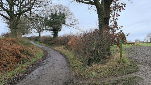
Ash Well Shrogg offers an idyllic escape from the hustle and bustle of modern life, with its tranquil atmosphere and peaceful surroundings. The area is crisscrossed by a network of well-maintained walking trails, allowing visitors to explore the woodland and immerse themselves in the natural wonders it has to offer. The sound of babbling brooks and the occasional rustle of leaves underfoot create a soothing ambiance that is perfect for relaxing walks or picnics.

Managed by the local authorities, Ash Well Shrogg is carefully preserved and protected, ensuring its continued beauty for future generations to enjoy. The woodland serves as a valuable habitat for numerous wildlife species, contributing to the overall ecological balance of the region. Whether it's for a leisurely stroll, birdwatching, or simply reconnecting with nature, Ash Well Shrogg provides an unforgettable experience for all who visit.

If you have any feedback on the listing, please let us know in the comments section below.

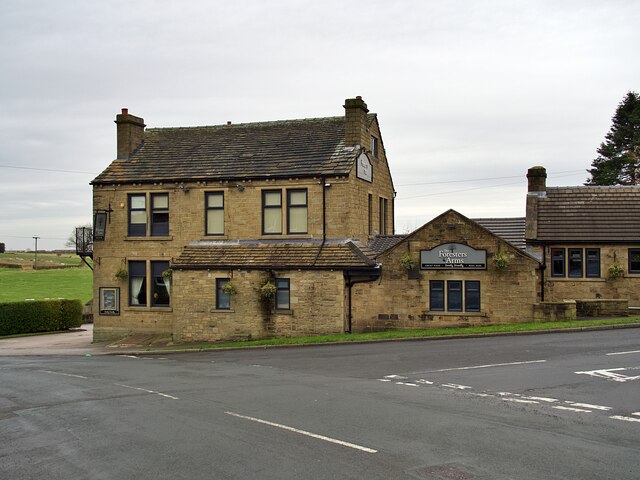
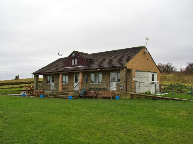
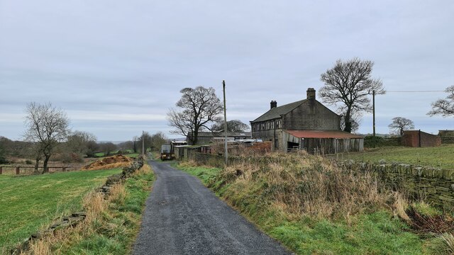
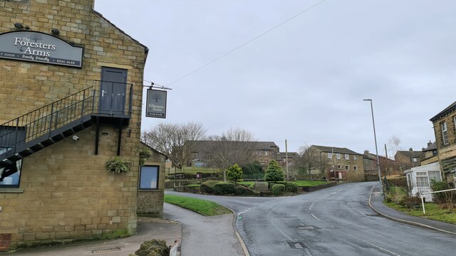
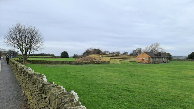
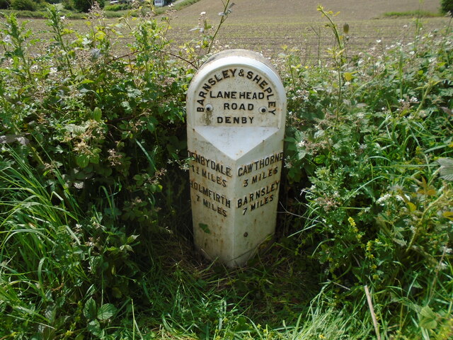
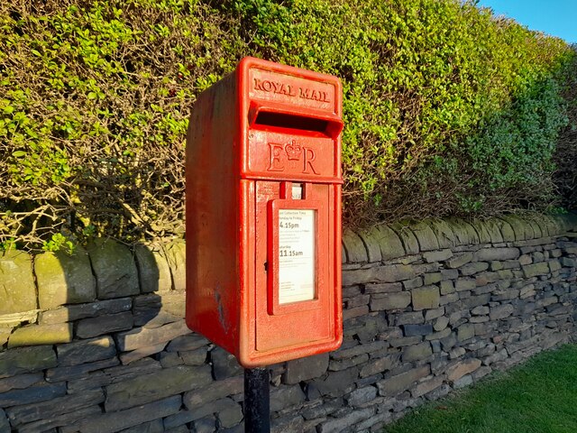
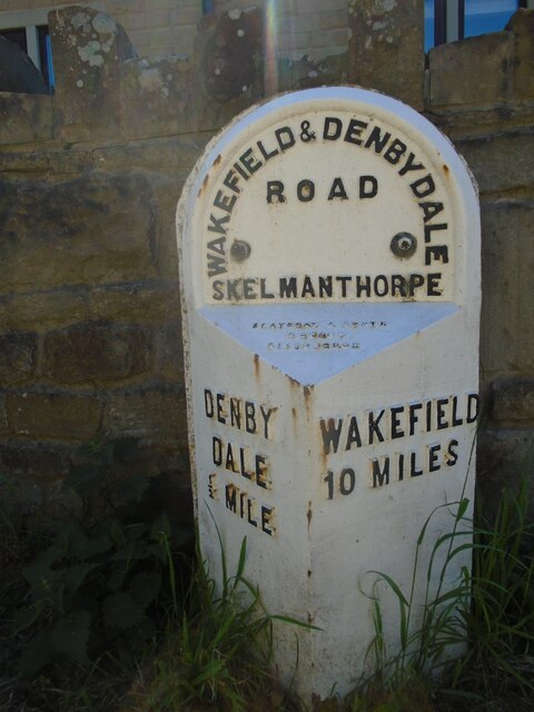
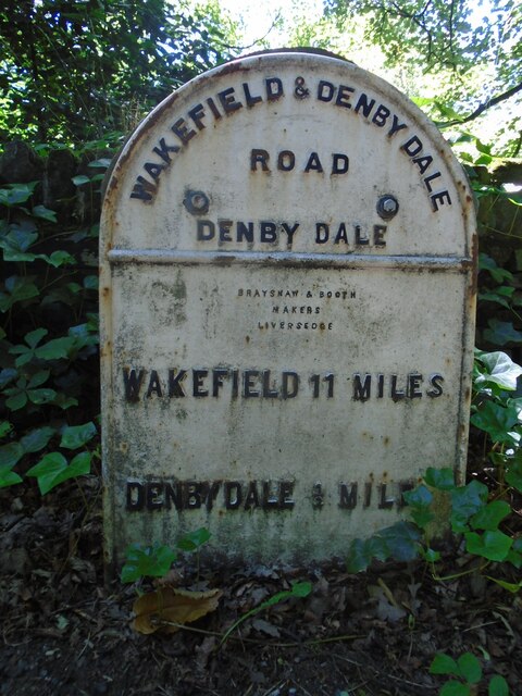
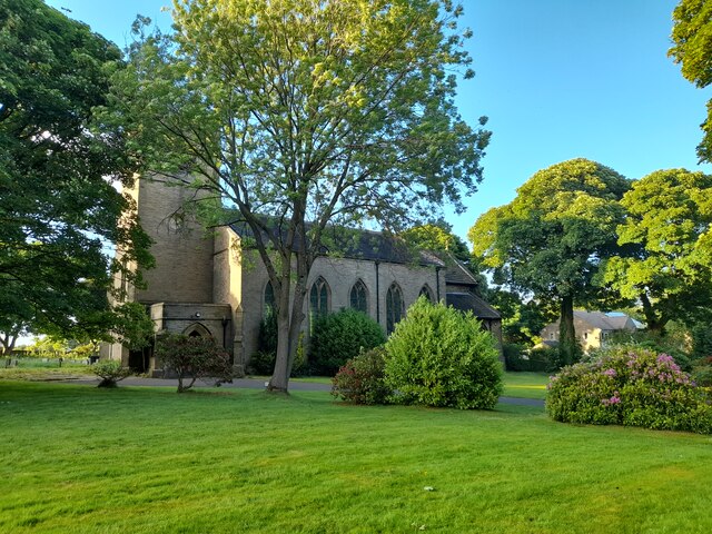
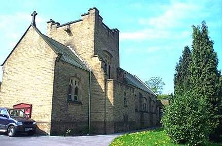
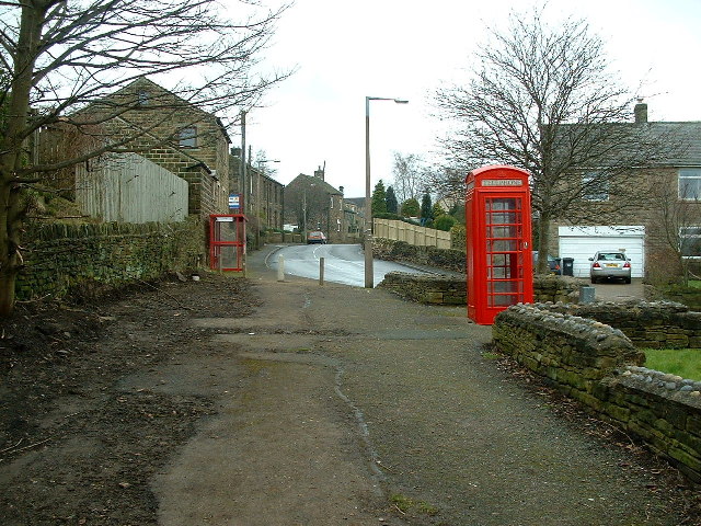
Ash Well Shrogg Images

Images are sourced within 2km of 53.566326/-1.6558771 or Grid Reference SE2207. Thanks to Geograph Open Source API. All images are credited.

The Foresters Arms Public house and restaurant in Lower Cumberworth
The Foresters Arms
Public house and restaurant in Lower Cumberworth
Cumberworth United Cricket Club Pavilion
Gilthwaites Lane
Gilthwaites Lane
How the mighty have fallen Ash died back
How the mighty have fallen
Ash died back
Lane Hackings Green
Lane Hackings Green
Cumberworth Lane, Lower Cumberworth
Cumberworth United Cricket Club ground
Old milestone Vegetation had to be cleared to reveal this West Riding CC milestone.  It is one of 615 set up in 1893/94 for the newly formed West Riding Council all over its extensive 'territory' from Sedbergh in the north west to south of Rotherham and over the Pennines into Saddleworth.   Over half are still in situ.  It is on the south side of the A635 between Denby Lane and Lower Denby Lane.
Old milestone
Vegetation had to be cleared to reveal this West Riding CC milestone. It is one of 615 set up in 1893/94 for the newly formed West Riding Council all over its extensive 'territory' from Sedbergh in the north west to south of Rotherham and over the Pennines into Saddleworth. Over half are still in situ. It is on the south side of the A635 between Denby Lane and Lower Denby Lane.
Old milestone A view of the milestone on the A635 between Denby Lane and Low Denby Lane before the grass had been trodden down.  Grade II listed 1135324.
Old milestone
A view of the milestone on the A635 between Denby Lane and Low Denby Lane before the grass had been trodden down. Grade II listed 1135324.
Old milestone A view of the 8 miles from Barnsley milestone under the arch of the railway viaduct at Denby Dale.  Trains from Barnsley approach from the left and the station is a short distance to the right across the A636 Wakefield Road.
Old milestone
A view of the 8 miles from Barnsley milestone under the arch of the railway viaduct at Denby Dale. Trains from Barnsley approach from the left and the station is a short distance to the right across the A636 Wakefield Road.
Old milestone This is the last late 19C West Riding CC milestone between Barnsley and Shepley Lane Head.   There would have been two more but they are missing.   Many of the metal attachments had the foundry name on the bevel but the ones on this route haven't so we don't know where they were forged.   On this milestone the four fixing points for the attachment to the backing stone can be seen.  Grade II listed 1135325.
Old milestone
This is the last late 19C West Riding CC milestone between Barnsley and Shepley Lane Head. There would have been two more but they are missing. Many of the metal attachments had the foundry name on the bevel but the ones on this route haven't so we don't know where they were forged. On this milestone the four fixing points for the attachment to the backing stone can be seen. Grade II listed 1135325.
Post Box at Upper Denby HD8 236. Royal Mail list this box as 'Upper Denby'.
Post Box at Upper Denby
HD8 236. Royal Mail list this box as 'Upper Denby'.
Old milestone One of the five remaining West Riding CC milestones with a protruding attachment still to be seen on this route, A636, from Wakefield to Denby Dale.  It is at the northeastern end of Denby Dale, although apparently this area was in Skelmanthorpe parish.  It is close to the entrance to Putting Mill Walk.   Grade II listed 1185069.
Old milestone
One of the five remaining West Riding CC milestones with a protruding attachment still to be seen on this route, A636, from Wakefield to Denby Dale. It is at the northeastern end of Denby Dale, although apparently this area was in Skelmanthorpe parish. It is close to the entrance to Putting Mill Walk. Grade II listed 1185069.
Old milestone This West Riding CC milestone is seen when leaving Denby Dale just beyond the railway viaduct and before the junction with the A635 from Barnsley.   Only a few of these flat castings were made, usually where there was no space for the protruding style.  However this one is unique.   It is the only one of the surviving flat castings which is not divided by a central raised line.   This is because Denby Dale and Wakefield are in the same direction.  Another difference is that the foundry name is at the centre top instead of on the left side.   It is Grade II listed 1135309.
Old milestone
This West Riding CC milestone is seen when leaving Denby Dale just beyond the railway viaduct and before the junction with the A635 from Barnsley. Only a few of these flat castings were made, usually where there was no space for the protruding style. However this one is unique. It is the only one of the surviving flat castings which is not divided by a central raised line. This is because Denby Dale and Wakefield are in the same direction. Another difference is that the foundry name is at the centre top instead of on the left side. It is Grade II listed 1135309.
St John the Evangelist Church, Upper Denby A handsome building.
St John the Evangelist Church, Upper Denby
A handsome building.
Farm Buildings, Papist Hill Note the fine concrete bin.
Farm Buildings, Papist Hill
Note the fine concrete bin.
St John the Evangelist, Denby - south side The church was built in 1842-3, typically for its time with galleries but no chancel. Equally typical of its time was the removal of the galleries and addition of a chancel and porch in 1900. Grade II listed (list entry 1313363).
St John the Evangelist, Denby - south side
The church was built in 1842-3, typically for its time with galleries but no chancel. Equally typical of its time was the removal of the galleries and addition of a chancel and porch in 1900. Grade II listed (list entry 1313363).
St John the Evangelist, Denby - nave The church was built in 1842-3, typically for its time with galleries but no chancel. Equally typical of its time was the removal of the galleries and addition of a chancel and porch in 1900. Grade II listed (list entry 1313363).
St John the Evangelist, Denby - nave
The church was built in 1842-3, typically for its time with galleries but no chancel. Equally typical of its time was the removal of the galleries and addition of a chancel and porch in 1900. Grade II listed (list entry 1313363).
Show me another place!

Ash Well Shrogg is located at Grid Ref: SE2207 (Lat: 53.566326, Lng: -1.6558771)

Division: West Riding

Unitary Authority: Kirklees

Police Authority: West Yorkshire

What 3 Words

///smoker.overtones.reporting. Near Denby Dale, West Yorkshire

Related Wikis

Denby Dale Viaduct

Denby Dale Viaduct is a grade II listed railway viaduct in Denby Dale, West Yorkshire, England. The curving viaduct carries the Penistone line over the...

Denby Dale

Denby Dale is a village and civil parish in the metropolitan borough of Kirklees in West Yorkshire, England. It is 10 miles (17 km) to the south-east of...

Upper Denby

Upper Denby is a small village within the civil parish of Denby Dale, and the borough of Kirklees in West Yorkshire, England. Lying 11 miles (17 km) to...

Denby Dale railway station

Denby Dale railway station serves the village of Denby Dale, in West Yorkshire, England and the surrounding area. It lies on the Penistone Line 9.5 miles...

Lower Cumberworth

Lower Cumberworth is a village in the borough of Kirklees, West Yorkshire, England. The village is situated 8 miles (13 km) to the south-east of Huddersfield...

Gunthwaite and Ingbirchworth

Gunthwaite and Ingbirchworth is a civil parish in the Barnsley district, in the county of South Yorkshire, England. It contains the hamlet of Gunthwaite...

Ingbirchworth

Ingbirchworth is a village and former civil parish, now in the parish of Gunthwaite and Ingbirchworth, in the Barnsley district, in the county of South...

Upper Cumberworth

Upper Cumberworth is a small village in West Yorkshire, England, within the civil parish of Denby Dale and the Diocese of Wakefield. It is between the...

Nearby Amenities

Located within 500m of 53.566326,-1.6558771
Bus Stop
Upper Denby Lane Fairfields
Bench: yes
Bin: yes
Bus: yes
Lit: yes
Local Ref: 45020857
Naptan AtcoCode: 450020857
Naptan Bearing: E
Naptan CommonName: Upper Denby Lane Fairfields
Naptan Crossing: Fairfields
Naptan Indicator: Stop 45020857
Naptan Landmark: The George PH
Naptan PlusbusZoneRef: LEEDS
Naptan ShortCommonName: Fairfields
Naptan Street: Denby Lane
Naptan Verified: no
Public Transport: platform
Shelter: yes
Source: naptan_import
Tactile Paving: no
Lat/Long: 53.5625169/-1.6549702
Upper Denby Lane Fairfields
Local Ref: 45051029
Naptan AtcoCode: 450051029
Naptan Bearing: W
Naptan BusStopType: CUS
Naptan CommonName: Upper Denby Lane Fairfields
Naptan Crossing: Fairfields
Naptan Indicator: Stop 45051029
Naptan PlusbusZoneRef: LEEDS
Naptan ShortCommonName: Denby Lane
Naptan Street: Denby Lane
Naptan Verified: no
Source: naptan_import
Lat/Long: 53.5624588/-1.6547449
Turning Circle
Broombank
Turning Circle: knuckle
Lat/Long: 53.5689677/-1.6581081
Barrier: stile
Material: stone
Stile: squeezer
Lat/Long: 53.5706012/-1.6582295
Turning Circle
Inkerman Way
Lat/Long: 53.5706335/-1.6544942
Noexit: yes
Lat/Long: 53.5628661/-1.6545129
Barrier: stile
Material: stone
Stile: squeezer
Lat/Long: 53.5695525/-1.6588432
Barrier: kissing_gate
Lat/Long: 53.5651829/-1.6579474
Bench
Backrest: yes
Check Date: 2023-09-05
Lat/Long: 53.562166/-1.6562357
Waste Basket
Check Date: 2023-09-05
Lat/Long: 53.5621998/-1.656245
Barrier: cycle_barrier
Cycle Barrier: double
Cycle Barrier Installation: fixed
Material: wood
Lat/Long: 53.5685287/-1.6586143
Street Lamp
Light Count: 2
Lat/Long: 53.5638285/-1.6557466
Noexit: yes
Lat/Long: 53.5630761/-1.6546951
Generator Method: photovoltaic
Generator Output Electricity: yes
Generator Source: solar
Generator Type: solar_photovoltaic_panel
Location: roof
Power: generator
Lat/Long: 53.5695252/-1.6610448
Generator Method: photovoltaic
Generator Output Electricity: yes
Generator Source: solar
Generator Type: solar_photovoltaic_panel
Location: roof
Power: generator
Lat/Long: 53.5705813/-1.657
Generator Method: photovoltaic
Generator Output Electricity: yes
Generator Source: solar
Generator Type: solar_photovoltaic_panel
Location: roof
Power: generator
Lat/Long: 53.5701369/-1.6560398
Bench
Backrest: yes
Colour: blue
Material: metal
Lat/Long: 53.5630164/-1.6561558
Waste Basket
Waste: litter
Lat/Long: 53.5632922/-1.6563971
Playground: structure
Playground Theme: ship
Lat/Long: 53.5633487/-1.6564288
Playground: springy
Lat/Long: 53.5633063/-1.6563308
Playground: seesaw
Lat/Long: 53.5633283/-1.6563462
Bench
Backrest: yes
Colour: blue
Material: metal
Lat/Long: 53.563341/-1.6563107
Playground: roundabout
Lat/Long: 53.5633653/-1.6563529
Baby: yes
Capacity: 1
Playground: swing
Lat/Long: 53.5633999/-1.6564238
Baby: no
Capacity: 1
Playground: swing
Lat/Long: 53.5634282/-1.6564446
Bench
Backrest: yes
Colour: blue
Material: metal
Lat/Long: 53.5634344/-1.6563718
Man Made: weathervane
Lat/Long: 53.5628262/-1.656369
Noexit: yes
Lat/Long: 53.5634289/-1.6572796
Barrier: stile
Stile: stepover
Lat/Long: 53.5650061/-1.6554767
Bench
Backrest: yes
Lat/Long: 53.5698256/-1.6593312
Bench
Backrest: yes
Lat/Long: 53.5697897/-1.6589756
Board Title: Churchfield
Board Type: history
Information: board
Tourism: information
Lat/Long: 53.5696911/-1.6587063
Covered: no
Leisure: picnic_table
Lat/Long: 53.5698894/-1.6585647
Bench
Backrest: yes
Lat/Long: 53.5694912/-1.6604096
Bench
Backrest: yes
Lat/Long: 53.5696354/-1.658732
Barrier: stile
Stile: squeezer
Lat/Long: 53.5646064/-1.6588159
Barrier: stile
Stile: stepover
Lat/Long: 53.5633844/-1.6544355
Barrier: stile
Material: stone
Step Count: 2
Stile: stepover
Lat/Long: 53.5632048/-1.6610415
Bench
Backrest: yes
Lat/Long: 53.5704756/-1.6581562
Board Type: nature
Information: board
Tourism: information
Lat/Long: 53.5701207/-1.6585556
Disused Barrier: stile
Material: wood
Stile: stepover
Lat/Long: 53.5628423/-1.6602642
Disused Barrier: stile
Material: sonte
Step Count: 3
Stile: stepover
Lat/Long: 53.5633836/-1.6588334
Bench
Backrest: yes
Lat/Long: 53.5701144/-1.6580707
Bench
Backrest: yes
Lat/Long: 53.5662448/-1.6584848
Barrier: stile
Material: wood
Stile: squeezer
Lat/Long: 53.5680328/-1.6589046
Waste Basket
Source: survey
Waste: dog_excrement
Lat/Long: 53.5705332/-1.6583043
Entrance: yes
Lat/Long: 53.5626083/-1.6554433
Entrance: yes
Lat/Long: 53.5625177/-1.6554422
Waste Basket
Colour: black
Material: metal
Waste: litter
Lat/Long: 53.5624215/-1.6555409
Barrier: bollard
Bollard: fixed
Height: 2
Material: concrete
Lat/Long: 53.5638702/-1.6530853
Waste Basket
Waste: dog_excrement
Lat/Long: 53.5631907/-1.6612247
Bench
Backrest: yes
Colour: grey
Lat/Long: 53.562565/-1.6578158
Man Made: planter
Material: metal
Lat/Long: 53.5625572/-1.6578135
The data included in this document is from www.openstreetmap.org. The data is made available under ODbL.

Have you been to Ash Well Shrogg?

Leave your review of Ash Well Shrogg below (or comments, questions and feedback).