Beechgrove Wood
Wood, Forest in Durham
England
Beechgrove Wood
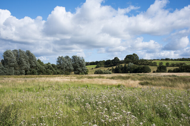
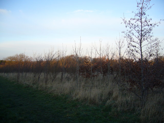
Beechgrove Wood, located in Durham, is a picturesque forest known for its natural beauty and diverse ecosystem. Spanning approximately 20 acres, this woodland is a popular destination for nature enthusiasts, hikers, and those seeking tranquility.
The wood is predominantly composed of beech trees, which give the area its name. These majestic trees create a dense canopy, providing shade and shelter for a variety of wildlife. The forest floor is covered in a rich carpet of ferns, wildflowers, and mosses, adding to its enchanting ambiance.
Beechgrove Wood boasts an impressive array of flora and fauna. The forest is home to numerous bird species, including woodpeckers, owls, and songbirds, which fill the air with their melodious tunes. Wildlife such as squirrels, rabbits, and even the occasional deer can be spotted amidst the trees.
Visitors to Beechgrove Wood can explore the well-maintained trails that wind through the forest, offering breathtaking vistas and opportunities for solitude. There are several picnic areas and benches strategically placed throughout the wood, providing a perfect spot to rest or enjoy a packed lunch while surrounded by nature's tranquility.
The wood is open to the public year-round and is a popular spot for outdoor activities such as walking, jogging, and photography. It also serves as an educational resource, with guided nature walks and workshops available to learn about the flora and fauna that call Beechgrove Wood their home.
In conclusion, Beechgrove Wood in Durham is a captivating woodland that offers a serene escape from the hustle and bustle of everyday life. Its natural beauty, diverse wildlife, and well-maintained trails make it a must-visit destination for nature lovers and outdoor enthusiasts alike.
If you have any feedback on the listing, please let us know in the comments section below.
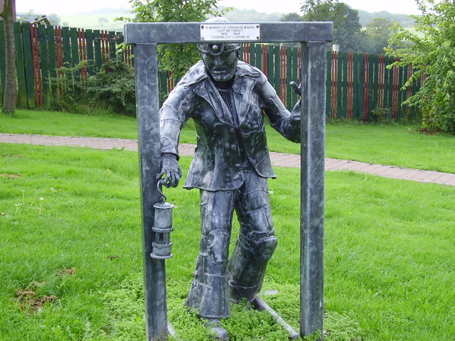
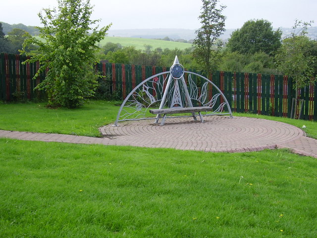
Beechgrove Wood Images
Images are sourced within 2km of 54.844162/-1.6462518 or Grid Reference NZ2249. Thanks to Geograph Open Source API. All images are credited.


Beechgrove Wood is located at Grid Ref: NZ2249 (Lat: 54.844162, Lng: -1.6462518)
Unitary Authority: County Durham
Police Authority: Durham
What 3 Words
///centuries.benched.caressed. Near Sacriston, Co. Durham
Nearby Locations
Related Wikis

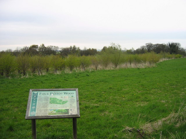
Fox & Parrot Wood
Fox & Parrot Wood is a broadleaf woodland in County Durham, England, about 4 miles (6 km) west of Chester-le-Street. It is situated just north of the B6313...

Edmondsley
Edmondsley is a small village in County Durham, England. It is situated a few miles south-west of Chester-le-Street, near the villages of Craghead and...

Craghead
Craghead is a village and former civil parish, now in the parish of Stanley, in the County Durham district, in the ceremonial county of Durham, England...
Holmside
Holmside is a village in County Durham, in England. It is situated to the north-west of Sacriston. The village has a 5.5 MW wind farm, Holmside Hall Wind...
The Middles
The Middles is a village in County Durham, in England. It is situated between Stanley and Craghead. == References ==
Grange Villa
Grange Villa is a village situated in County Durham, England. It is located between the towns of Stanley and Chester-le-Street. == History == Grange Villa...
Holmside Hall
Holmside Hall is an early 19th-century farmhouse and equestrian centre at Holmside, Burnhope, County Durham, England. The farm is built on the site of...

Waldridge Fell
Waldridge Fell is a Site of Special Scientific Interest located immediately south-west of Chester-le-Street in the northern part of County Durham, England...
Nearby Amenities
Located within 500m of 54.844162,-1.6462518Have you been to Beechgrove Wood?
Leave your review of Beechgrove Wood below (or comments, questions and feedback).