Birchill Bank Wood

Wood, Forest in Derbyshire Derbyshire Dales

England

Birchill Bank Wood

The B6001 Between Bakewell and Calver.  Here a 40 mph speed limit for the village of Hassop starts.
The B6001 Credit: David Lally

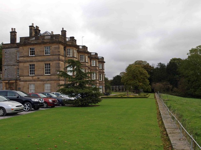
Birchill Bank Wood is a picturesque woodland located in the county of Derbyshire, England. Situated in the outskirts of the town of Matlock, the wood covers an area of approximately 30 hectares.

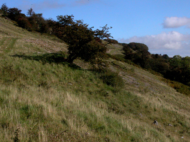
The wood is predominantly composed of birch trees, hence its name, although it also features a diverse range of other species such as oak, ash, and beech. This variety of trees creates a rich and vibrant woodland ecosystem, attracting a wide array of wildlife.

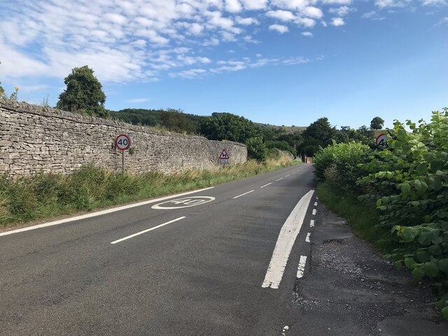
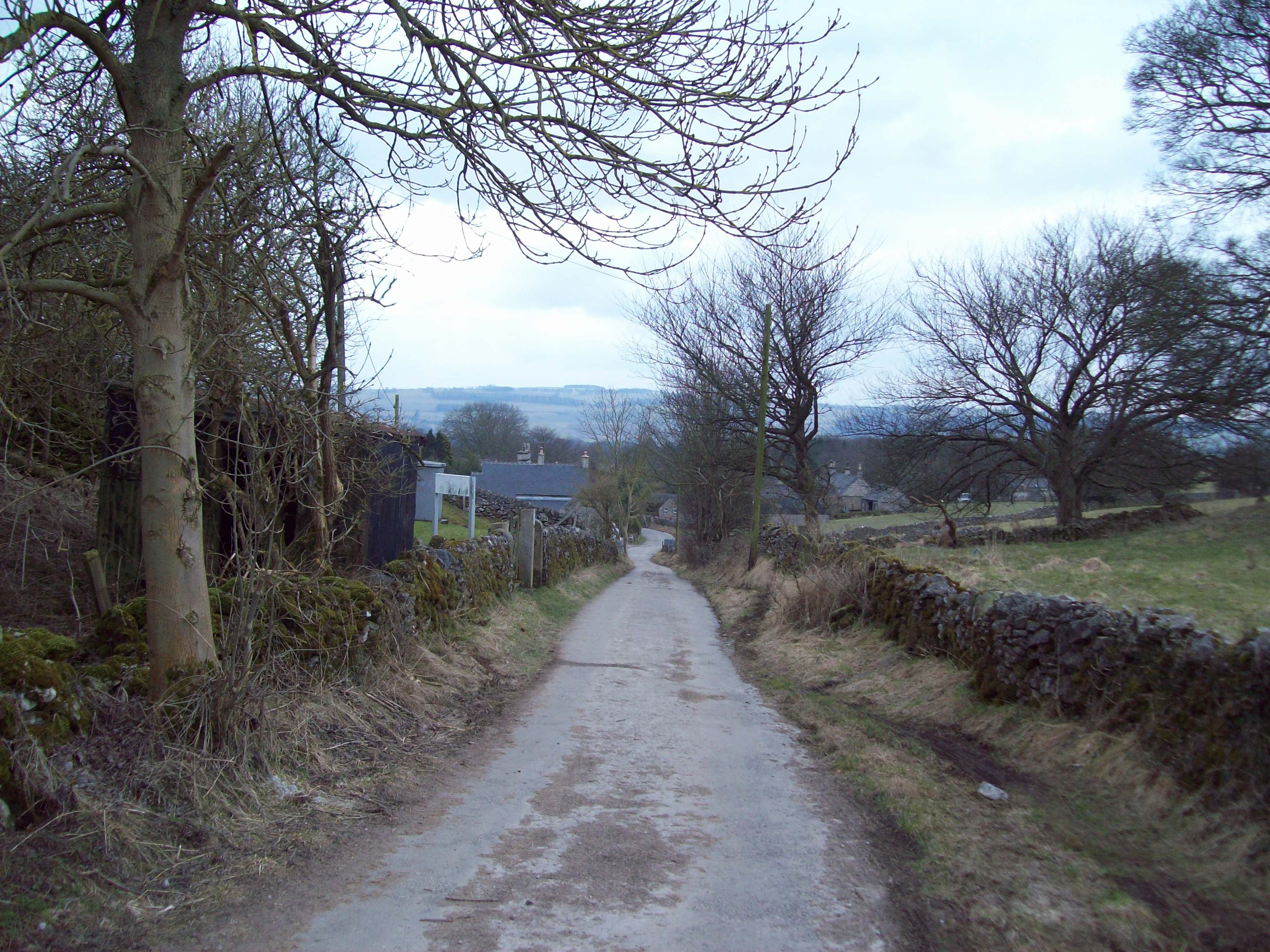
The wood is crisscrossed by a network of well-maintained footpaths, making it easily accessible to visitors. These paths provide opportunities for leisurely walks and hikes, enabling visitors to explore the natural beauty of the woodland. Along the trails, visitors can admire the verdant canopy, lush undergrowth, and vibrant wildflowers that flourish throughout the seasons.

Birchill Bank Wood is not only a haven for nature enthusiasts, but also a valuable habitat for wildlife. The wood is home to a diverse range of creatures, including birds, small mammals, and insects. Birdwatchers can spot species such as woodpeckers, nuthatches, and various songbirds, while lucky visitors may even catch a glimpse of elusive deer or foxes.

The wood has been managed by the local authorities to preserve its natural beauty and protect the wildlife it hosts. As a result, it remains an idyllic natural retreat where visitors can immerse themselves in the tranquility of nature and enjoy the numerous recreational opportunities it offers. Whether it's a peaceful stroll, birdwatching, or simply appreciating the beauty of the wood, Birchill Bank Wood provides a captivating experience for all who visit.

If you have any feedback on the listing, please let us know in the comments section below.

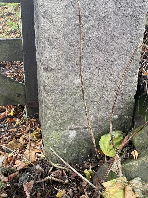
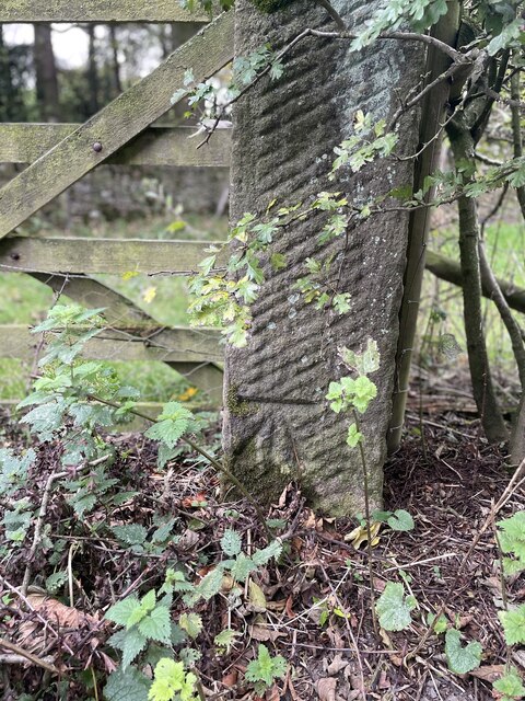
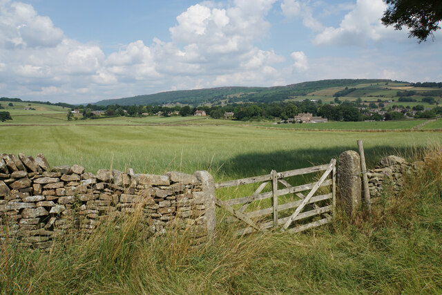
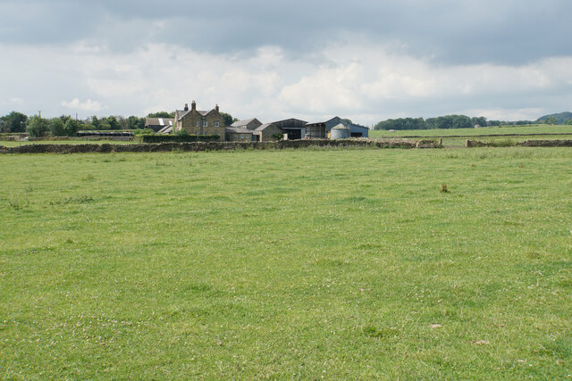
Birchill Bank Wood Images

Images are sourced within 2km of 53.242141/-1.6615679 or Grid Reference SK2271. Thanks to Geograph Open Source API. All images are credited.

The B6001 Between Bakewell and Calver.  Here a 40 mph speed limit for the village of Hassop starts.
The B6001
Between Bakewell and Calver. Here a 40 mph speed limit for the village of Hassop starts.
The Eyre Arms The sign on the building says Eyre Arms whereas the one across the road says the Old Eyre Alms <a href="https://www.geograph.org.uk/photo/4888611">SK2272 : The Old Eyre Arms, Hassop</a> which would differentiate it from the other Eyre Arms a few miles away in Calver <a href="https://www.geograph.org.uk/photo/3614234">SK2374 : An Eyre of Importance (8)</a>.  Take your pick!
The Eyre Arms
The sign on the building says Eyre Arms whereas the one across the road says the Old Eyre Alms SK2272 : The Old Eyre Arms, Hassop which would differentiate it from the other Eyre Arms a few miles away in Calver SK2374 : An Eyre of Importance (8). Take your pick!
The sign of The Eyre Arms See <a href="https://www.geograph.org.uk/photo/6922970">SK2272 : The Eyre Arms</a>
The sign of The Eyre Arms
Baslow, A619, Thirteen Bends BM on post

SK 2420 7155
Baslow, A619, Thirteen Bends
BM on post SK 2420 7155
Baslow, A619, Thirteen Bends OS Rivet on gatepost 

SK 2392 7152
Baslow, A619, Thirteen Bends
OS Rivet on gatepost SK 2392 7152
Pilsley, Top Road OS BM on gatepost

SK 2436 7093
Pilsley, Top Road
OS BM on gatepost SK 2436 7093
Pilsley, Top Road OS BM on gatepost
SK 2403 7082
Pilsley, Top Road
OS BM on gatepost SK 2403 7082
Field entrance near Baslow Quite prominent behind the gate is Bubnell Hall. On the hills behind are Baslow Edge and Curbar Edge.
Field entrance near Baslow
Quite prominent behind the gate is Bubnell Hall. On the hills behind are Baslow Edge and Curbar Edge.
Cattle lined up above Rymas Brook Almost looking like a welcoming party, but they weren't bothered by my presence. Both Rymas Brook and the A619 run in the bottom of the valley behind.
Cattle lined up above Rymas Brook
Almost looking like a welcoming party, but they weren't bothered by my presence. Both Rymas Brook and the A619 run in the bottom of the valley behind.
Bubnell Cliff Farm Viewed from a nearby footpath.
Bubnell Cliff Farm
Viewed from a nearby footpath.
Footpath to Baslow The path has to cross Rymas Brook which involves a fairly abrupt down and up. Baslow can be seen straight ahead.
Footpath to Baslow
The path has to cross Rymas Brook which involves a fairly abrupt down and up. Baslow can be seen straight ahead.
Pilsley A view of the village from a footpath coming from Baslow.
Pilsley
A view of the village from a footpath coming from Baslow.
Hillside above Rymas Brook A view from a bridleway near Pilsley which drops into the valley. Longstone Edge is seen in the background.
Hillside above Rymas Brook
A view from a bridleway near Pilsley which drops into the valley. Longstone Edge is seen in the background.
High Street, Pilsley The top of the village where the street degenerates into a bridleway.
High Street, Pilsley
The top of the village where the street degenerates into a bridleway.
Ruined barn near Pilsley No longer required for the surrounding grazing.
Ruined barn near Pilsley
No longer required for the surrounding grazing.
Footpath junction near Pilsley
Path to Handley Lane The original farm track comes to an end here and the path has to cross an open field.
Path to Handley Lane
The original farm track comes to an end here and the path has to cross an open field.
The remains of a tree stump in a field The stump is rotting away on the inside but there is still enough of it to present an obstacle for the silage collection. The hollow behind is Handley Bottom.
The remains of a tree stump in a field
The stump is rotting away on the inside but there is still enough of it to present an obstacle for the silage collection. The hollow behind is Handley Bottom.
Show me another place!

Birchill Bank Wood is located at Grid Ref: SK2271 (Lat: 53.242141, Lng: -1.6615679)

Administrative County: Derbyshire

District: Derbyshire Dales

Police Authority: Derbyshire

What 3 Words

///view.customers.youths. Near Baslow, Derbyshire

Related Wikis

Hassop

Hassop is a village in the local government district of Derbyshire Dales in Derbyshire, England. It is in the civil parish of Great Longstone It developed...

Church of All Saints, Hassop

The Church of All Saints is a Roman Catholic parish church in Hassop, Derbyshire. Built in 1816–17, the architect was Joseph Ireland. It is a Grade...

Hassop Hall

Hassop Hall is a 17th-century country house near Bakewell, Derbyshire, which was operated as a hotel until it closed on 29 September 2019. It is a Grade...

Rowland, Derbyshire

Rowland is a village and a civil parish in the Derbyshire Dales District, in the English county of Derbyshire. It is near the larger village of Great Longstone...

Hassop railway station

Hassop railway station was a station situated about two miles from the village of Hassop in the Peak District of Derbyshire. It was opened in 1862 by the...

Pilsley, Derbyshire Dales

Pilsley is a small village and civil parish in Derbyshire, England. At the 2011 Census the population of the civil parish was 152. It is close to Chatsworth...

Longstone Edge

Longstone Edge is a limestone ridge in the Peak District National Park, in Derbyshire, England. Longstone Edge is immediately north of the village of Great...

St Anne's Church, Baslow

St. Anne’s Church, Baslow, is a Grade II* listed parish church in Baslow, England. == History == The church dates from the thirteenth century. It was subject...

Nearby Amenities

Located within 500m of 53.242141,-1.6615679
Parking
Access: yes
Fee: no
Parking: layby
Lat/Long: 53.2417271/-1.6686207
The data included in this document is from www.openstreetmap.org. The data is made available under ODbL.

Have you been to Birchill Bank Wood?

Leave your review of Birchill Bank Wood below (or comments, questions and feedback).