Dava

Settlement in Morayshire

Scotland

Dava

Wetland, Dava Moor
Wetland, Dava Moor Credit: Richard Webb

The requested URL returned error: 429 Too Many Requests

If you have any feedback on the listing, please let us know in the comments section below.
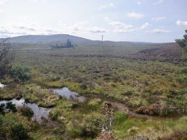
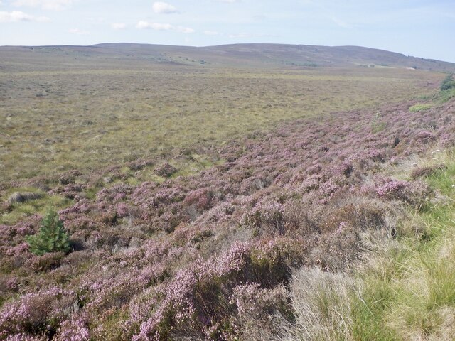
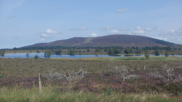
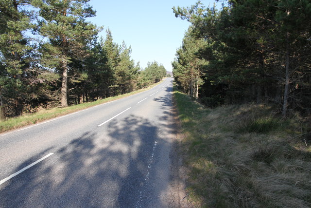
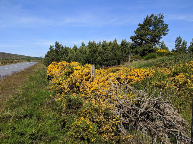
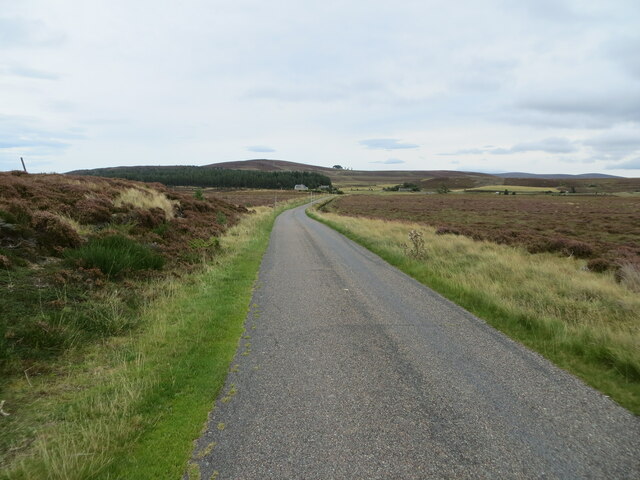
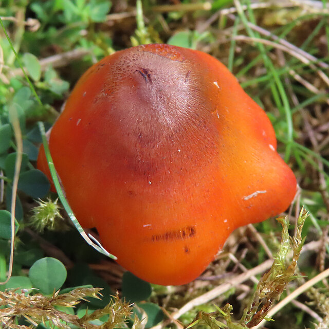
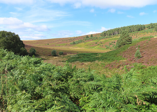
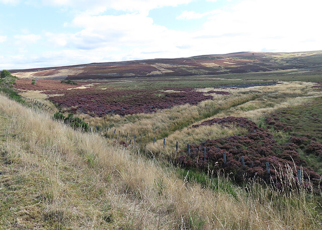
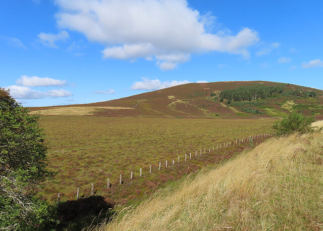
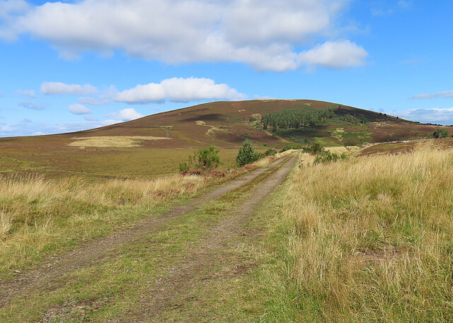
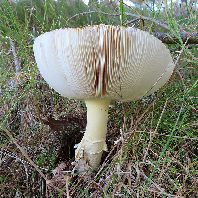
Dava Images

Images are sourced within 2km of 57.429904/-3.655619 or Grid Reference NJ0038. Thanks to Geograph Open Source API. All images are credited.

Wetland, Dava Moor
Wetland, Dava Moor
Dava Moor Beside the A939.
Dava Moor
Beside the A939.
Loch Allan and Knock of Braemoray On Dava Moor at heather time.
Loch Allan and Knock of Braemoray
On Dava Moor at heather time.
Kettlehole, Dava Moor A flooded hollow in the kame and kettle terrain around Loch Allan.
Kettlehole, Dava Moor
A flooded hollow in the kame and kettle terrain around Loch Allan.
A939 near Loch Allan A short section of the A939 passes through this grid square.
A939 near Loch Allan
A short section of the A939 passes through this grid square.
Flowering gorse bushes next to the A939
Burnt moor near Lochindorb Part of the intensive management of grouse moors.
Burnt moor near Lochindorb
Part of the intensive management of grouse moors.
Burnt moor near Lochindorb Part of the intensive management of grouse moors to maximise the number of birds that can be shot.
Burnt moor near Lochindorb
Part of the intensive management of grouse moors to maximise the number of birds that can be shot.
Moorland above Dorback Burn
Dava Moor
Dava Moor
Moorland minor road near Dava Looking north-eastward.
Moorland minor road near Dava
Looking north-eastward.
Moorland between Dava and Lochindorb Looking north-westward.
Moorland between Dava and Lochindorb
Looking north-westward.
Fungus Growing in the middle of the path.
Fungus
Growing in the middle of the path.
Glacial Channel This flat-bottomed boggy channel is far too wide to have been created by the very minor burn that drains it, so is obviously of glacial origin.
Glacial Channel
This flat-bottomed boggy channel is far too wide to have been created by the very minor burn that drains it, so is obviously of glacial origin.
Coire Gorm It looks as if this has at one time been a loch, probably of glacial origin. In spite of the ditch across it, it looks pretty boggy.
Coire Gorm
It looks as if this has at one time been a loch, probably of glacial origin. In spite of the ditch across it, it looks pretty boggy.
Knock of Braemoray There's a wide swathe of boggy flat ground between the former railway line and the Knock of Braemoray.
Knock of Braemoray
There's a wide swathe of boggy flat ground between the former railway line and the Knock of Braemoray.
Highland Railway Trackbed Originally part of the Inverness and Perth Junction Railway, the line became part of the Highland Railway when the various railway companies merged.
Highland Railway Trackbed
Originally part of the Inverness and Perth Junction Railway, the line became part of the Highland Railway when the various railway companies merged.
Fungus A fungus with its cap upturned to form a sort of cup, thus displaying its gills.
Fungus
A fungus with its cap upturned to form a sort of cup, thus displaying its gills.
Show me another place!

Dava is located at Grid Ref: NJ0038 (Lat: 57.429904, Lng: -3.655619)

Unitary Authority: Highland

Police Authority: Highlands and Islands

What 3 Words

///liability.existence.kickbacks. Near Grantown-on-Spey, Highland

Related Wikis

Dava railway station

Dava railway station was opened in 1864, on the Inverness and Perth Junction Railway, one year after the route was opened. == Station layout == The station...

Lochindorb

Lochindorb (from the Scottish Gaelic: Loch nan Doirb meaning "loch of the minnows") is a freshwater loch north of Grantown on Spey in the Highland council...

Dorback Burn, Findhorn

The Dorback Burn (Scottish Gaelic: Dorbag / Uisge Dhorbaig) is a right-bank tributary of the River Findhorn in northeast Scotland. It emerges from the...

Ferness

Ferness (Scottish Gaelic: Feàrnais) is a settlement and rural area in Strathdearn, in the council area of Highland.The settlement is situated in a forested...

Nearby Amenities

Located within 500m of 57.429904,-3.655619
Dava
Name Gd: An Damh-àth
Place: hamlet
Source: NPE
Lat/Long: 57.4285837/-3.6594664
Loch Allen AA Box
Colour: black and yellow
Listed Status: Grade II
Man Made: telephone_box
Operator: AA
Ref: 746
Lat/Long: 57.4285472/-3.6597426
Power: pole
Lat/Long: 57.4307373/-3.6541101
Power: pole
Lat/Long: 57.4307308/-3.6536923
Power: pole
Lat/Long: 57.4308404/-3.6533869
Power: pole
Lat/Long: 57.4314579/-3.6532334
Power: pole
Lat/Long: 57.4321287/-3.653089
Power: pole
Lat/Long: 57.4326546/-3.6524357
Power: pole
Lat/Long: 57.4273099/-3.662203
Power: pole
Lat/Long: 57.4286776/-3.662323
Power: pole
Lat/Long: 57.4290932/-3.6606668
Power: pole
Lat/Long: 57.4296666/-3.6593934
Power: pole
Lat/Long: 57.4306907/-3.6564046
Dava
Historic Railway: station
Railway: site
Wikidata: Q5228125
Wikipedia: en:Dava railway station
Lat/Long: 57.4299153/-3.653231
The data included in this document is from www.openstreetmap.org. The data is made available under ODbL.

Have you been to Dava?

Leave your review of Dava below (or comments, questions and feedback).