Castlefield Copse
Wood, Forest in Hampshire New Forest
England
Castlefield Copse
Castlefield Copse, located in Hampshire, is a picturesque woodland area renowned for its natural beauty and diverse ecosystem. Stretching across an area of approximately 100 acres, the copse is situated near the village of Compton and is a popular destination for nature enthusiasts and hikers alike.
The copse is characterized by its dense oak and beech tree cover, which creates a lush and vibrant canopy overhead. Within this woodland, one can find an abundance of flora and fauna, including bluebells, wild garlic, and various species of ferns. The forest floor is carpeted with a rich layer of moss and fallen leaves, providing a haven for small mammals and insects.
Several well-maintained footpaths wind their way through Castlefield Copse, allowing visitors to explore the area at their own pace. These paths lead to hidden clearings and tranquil spots, offering opportunities for picnicking and bird-watching. The copse is home to a wide variety of bird species, including woodpeckers, nuthatches, and tawny owls, making it a haven for birdwatchers.
Castlefield Copse also holds historical significance, with remnants of an Iron Age hillfort found within its boundaries. These ancient earthworks provide a glimpse into the area's rich past and offer visitors a chance to learn about the region's history and heritage.
Overall, Castlefield Copse presents an idyllic natural setting, with its verdant woodlands, diverse wildlife, and historical treasures. It is a haven for those seeking solace in nature and an opportunity to immerse oneself in the beauty of Hampshire's countryside.
If you have any feedback on the listing, please let us know in the comments section below.
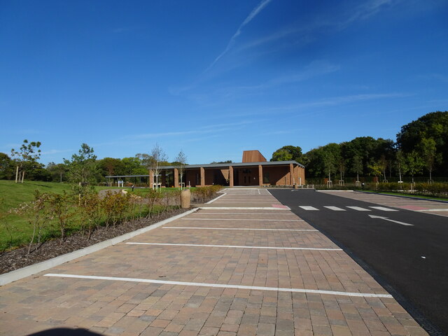
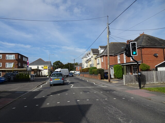
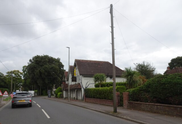
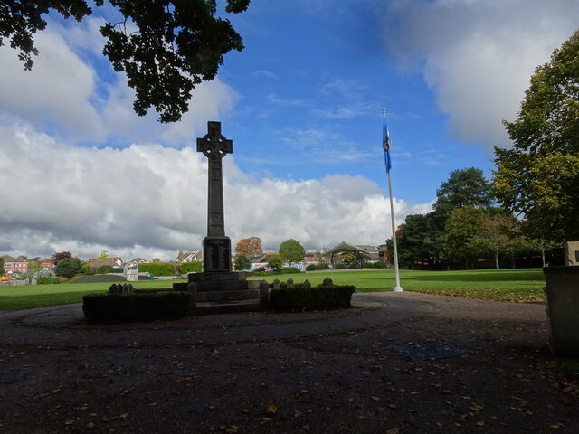
Castlefield Copse Images
Images are sourced within 2km of 50.7533/-1.681334 or Grid Reference SZ2294. Thanks to Geograph Open Source API. All images are credited.


Castlefield Copse is located at Grid Ref: SZ2294 (Lat: 50.7533, Lng: -1.681334)
Administrative County: Hampshire
District: New Forest
Police Authority: Hampshire
What 3 Words
///hindered.compound.hairstyle. Near New Milton, Hampshire
Nearby Locations
Related Wikis

Chewton Glen
Chewton Glen is a five star hotel and spa located on the edge of the New Forest National Park on the south coast of England. It is a member of the Relais...

New Milton Town F.C.
New Milton Town Football Club is a football club based in New Milton, Hampshire, England. They are currently members of the Wessex League Division One...
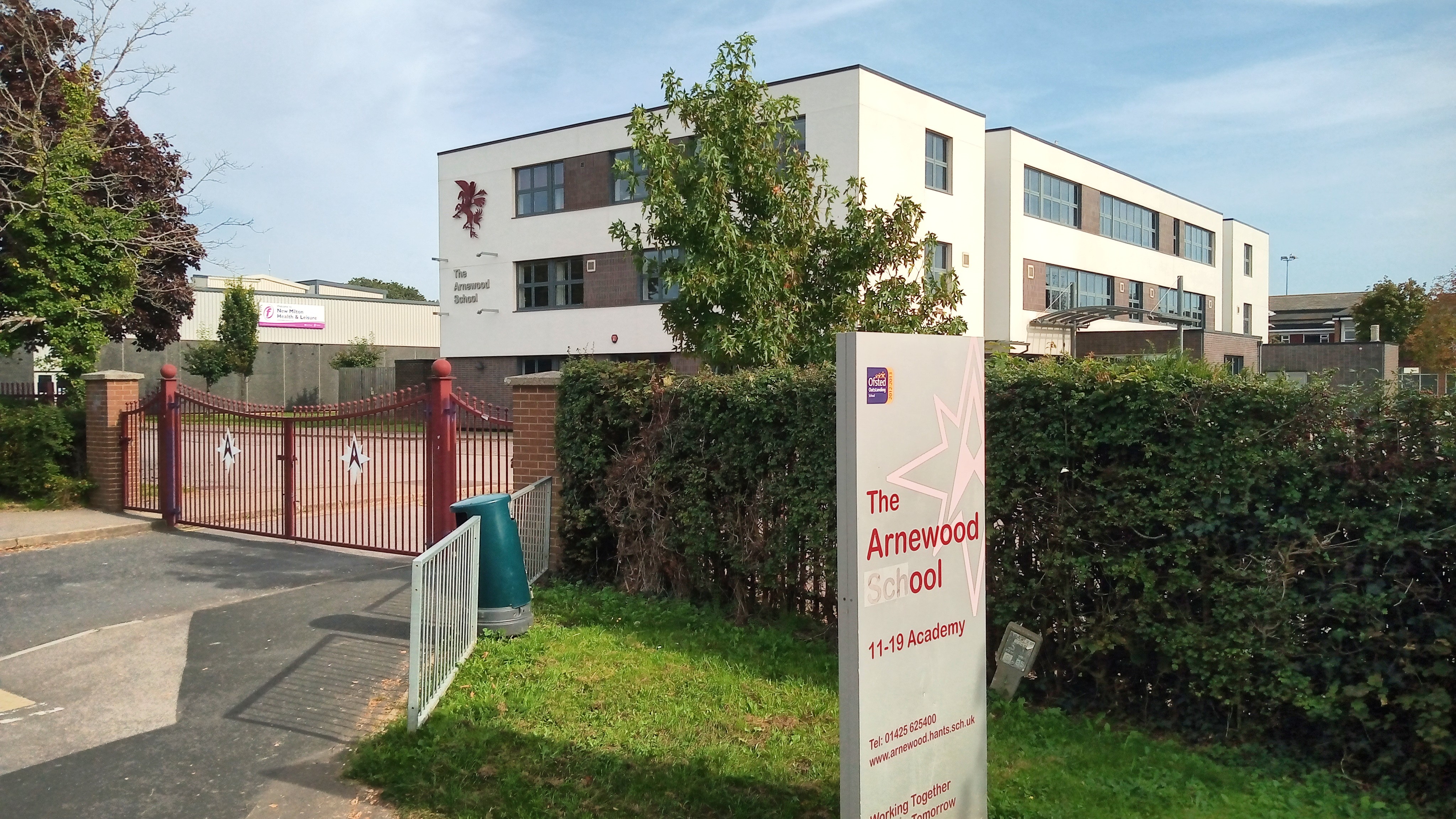
The Arnewood School
The Arnewood School is a mixed secondary school and sixth form located in New Milton in the English county of Hampshire.The school was converted to academy...

Beckley, Hampshire
Beckley is a hamlet in Hampshire, England. It lies in the civil parish of Bransgore. Beckley is mentioned in the Domesday Book of 1086, when it was held...

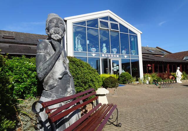
Sammy Miller Motorcycle Museum
The Sammy Miller Motorcycle Museum is an independent museum in New Milton, Hampshire, England. It was set up in 1964, after the former championship winning...
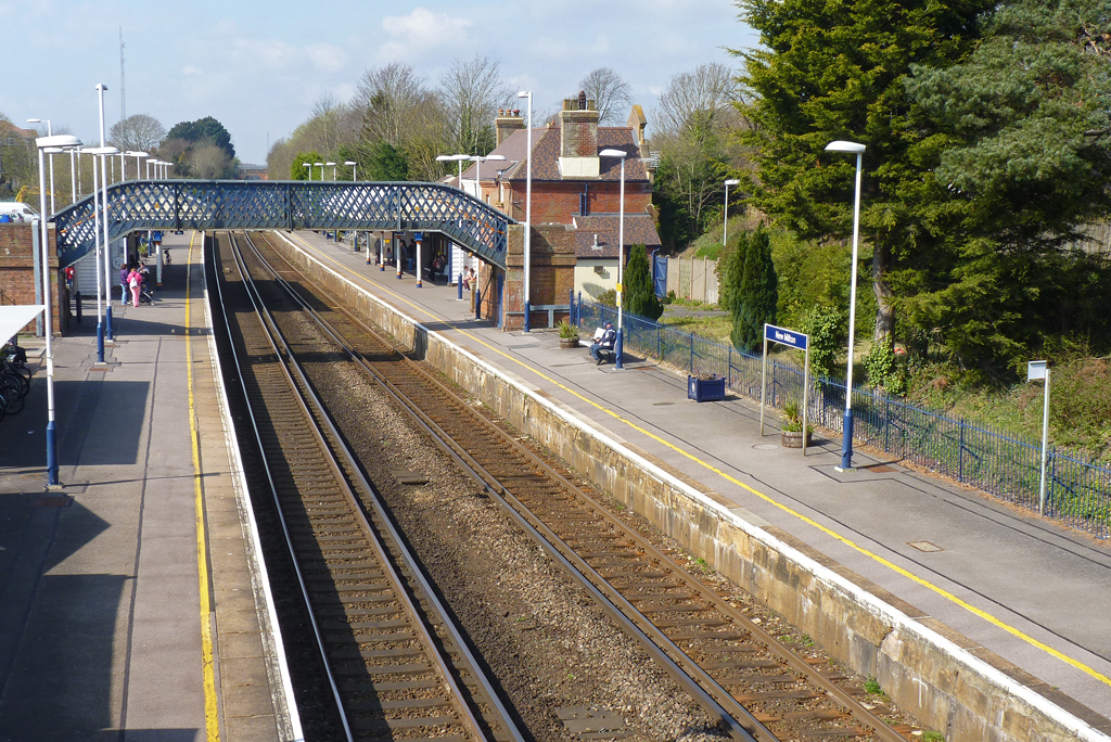
New Milton railway station
New Milton railway station serves the market town of New Milton in Hampshire, England. It is 98 miles 44 chains (158.6 km) down the line from London Waterloo...
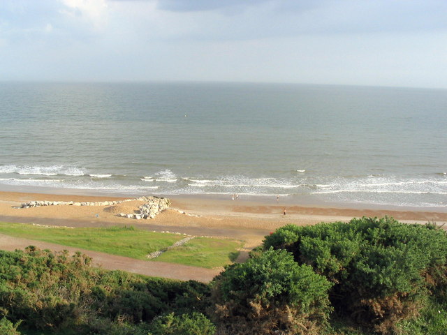
Highcliffe
Highcliffe-on-Sea (usually simply Highcliffe) is a seaside town in Dorset in England, administered since April 2019 as part of the unitary authority of...
Hinton, Hampshire
Hinton is a dispersed settlement in the civil parish of Bransgore, in the English county of Hampshire. Hinton is centred on the main A35 road northeast...
Nearby Amenities
Located within 500m of 50.7533,-1.681334Have you been to Castlefield Copse?
Leave your review of Castlefield Copse below (or comments, questions and feedback).