Birch Covert

Wood, Forest in Warwickshire North Warwickshire

England

Birch Covert

Coton Road towards Whitacre Heath
Coton Road towards Whitacre Heath Credit: Ian S

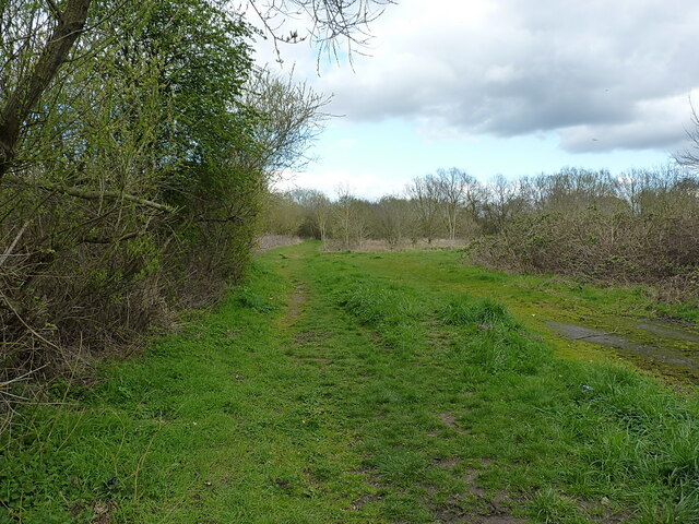
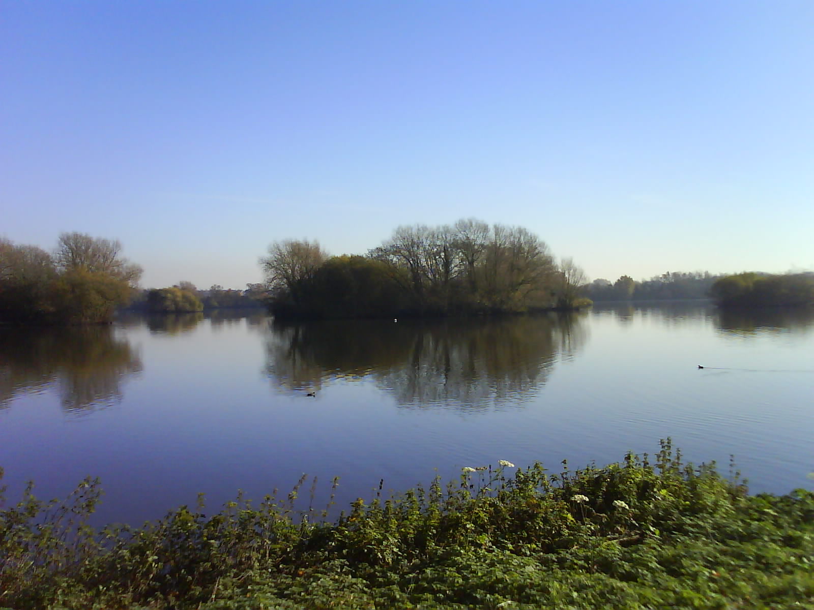
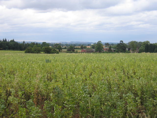
Birch Covert is a picturesque woodland located in Warwickshire, England. Covering an area of approximately 100 acres, it is a prominent feature in the local landscape and offers a tranquil escape for nature lovers and outdoor enthusiasts.

The woodland is predominantly composed of birch trees, as its name suggests, which create a dense canopy overhead and provide a habitat for a diverse range of flora and fauna. The forest floor is carpeted with a variety of wildflowers, such as bluebells and primroses, adding bursts of color to the surroundings during springtime.

Birch Covert is known for its well-maintained walking trails, allowing visitors to explore the woodland at their own pace. These paths wind through the forest, passing by ancient trees and offering glimpses of wildlife, including squirrels, rabbits, and a variety of bird species. The peaceful atmosphere and the sound of birdsong make it a popular spot for birdwatchers and nature photographers.

In addition to its natural beauty, Birch Covert also has historical significance. It is believed that the woodland has been in existence for centuries, and remnants of ancient settlements, such as earthworks and burial mounds, have been discovered within its boundaries.

The woodland is easily accessible, with a designated parking area and well-marked entrances. It is a popular destination for local residents and visitors alike, who come to enjoy the tranquility and natural beauty that Birch Covert has to offer.

If you have any feedback on the listing, please let us know in the comments section below.
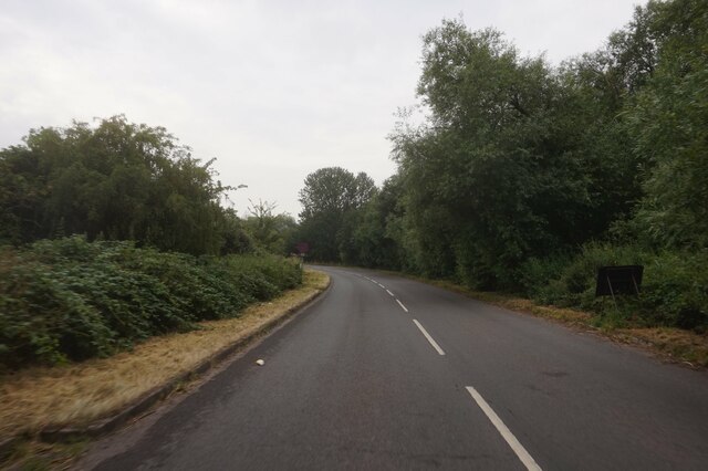
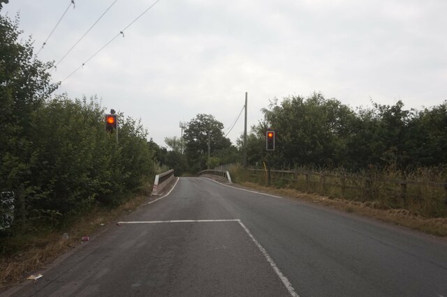
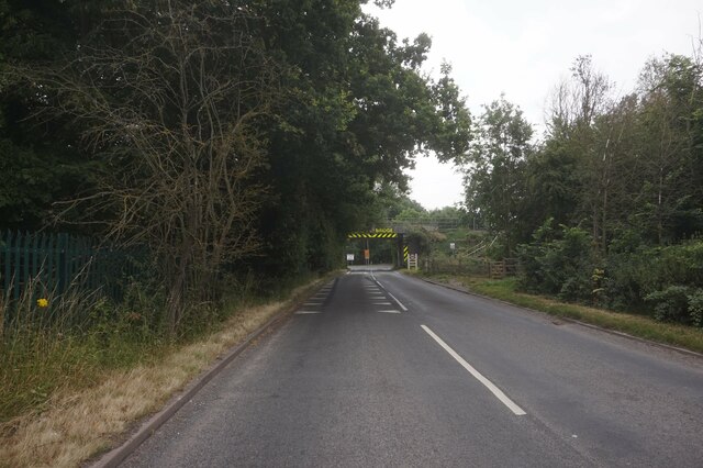
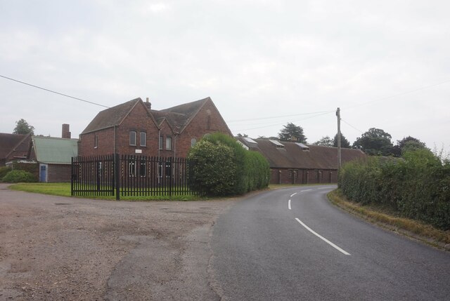
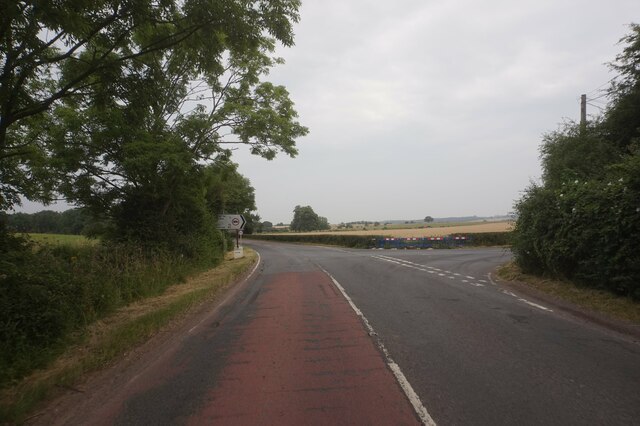
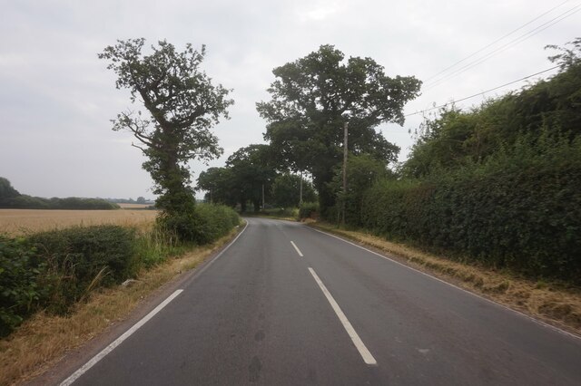
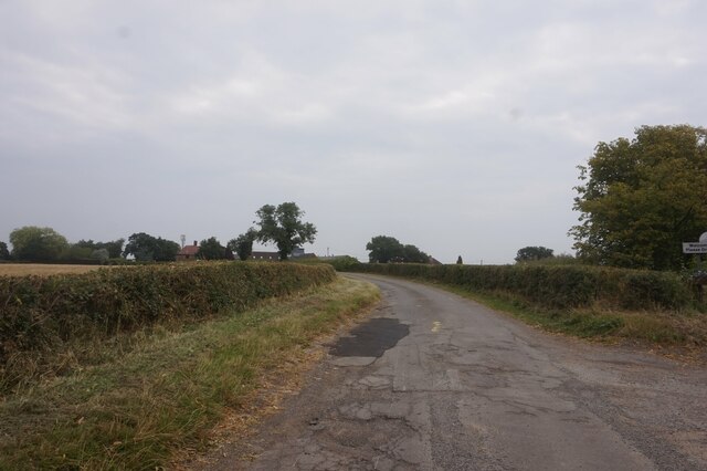
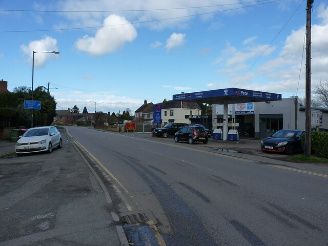
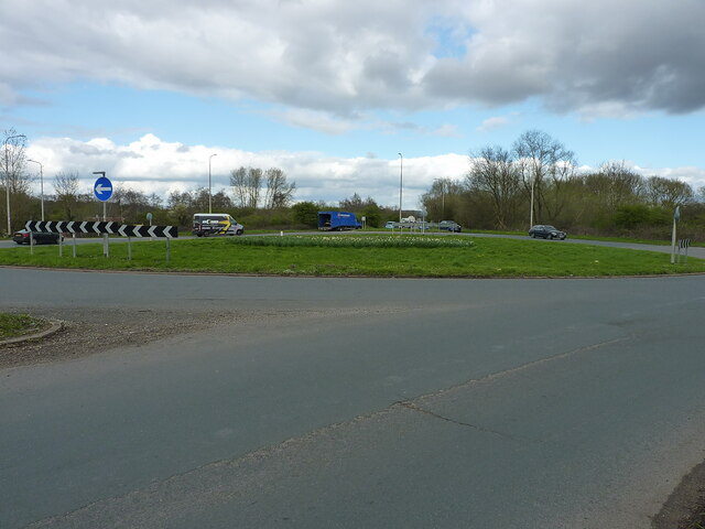
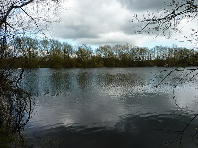
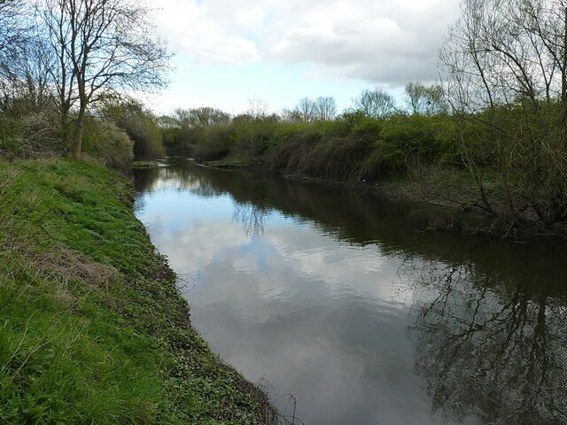
Birch Covert Images

Images are sourced within 2km of 52.54973/-1.6690681 or Grid Reference SP2294. Thanks to Geograph Open Source API. All images are credited.

Coton Road towards Whitacre Heath
Traffic lights on Coton Road at Coton Bridge
Rail bridge on Coton Road
Kudos Manufacturing Halloughton Grange. Whitacre Heath.
Kudos Manufacturing
Halloughton Grange. Whitacre Heath.
Coventry Road A4098 at Hurley turnoff
Knowle Hill towards Hurley
Minor Road towards Camp Farm
North along Tamworth Road in Kingsbury
A51 Coventry Road in Kingsbury Looking north along the main road through Kingsbury
A51 Coventry Road in Kingsbury
Looking north along the main road through Kingsbury
Floodplain of the River Tame near Kingsbury Over the roadside hedge onto the water meadows alongside the Tame river.
Floodplain of the River Tame near Kingsbury
Over the roadside hedge onto the water meadows alongside the Tame river.
Marston roundabout on the A4097
Permissive path through the Lea Marston lakes Part of a network of paths, not all marked as rights of way, through the various lakes here in the valley of the River Tame.
Permissive path through the Lea Marston lakes
Part of a network of paths, not all marked as rights of way, through the various lakes here in the valley of the River Tame.
Lea Marston lakes One of the many pools in the valley; <a href="https://www.geograph.org.uk/photo/6169652">SP2194 : Lake near Lea Marston</a> suggests that this is a flooded former gravel pit.
Lea Marston lakes
One of the many pools in the valley; SP2194 : Lake near Lea Marston suggests that this is a flooded former gravel pit.
A stretch of the River Tame
St Giles' Church
St Giles' Church
Chest tomb for 2 generations of the Brabson family An unusual L-shaped, double chest-tomb, dated 1722 and 1740, for a mother and daughter both called Anne Brabson. It was Grade II listed <span class="nowrap"><a title="https://britishlistedbuildings.co.uk/101319941-chest-tomb-in-angle-between-chancel-and-south-aisle-of-church-of-saints-peter-and-st-paul-kingsbury" rel="nofollow ugc noopener" href="https://britishlistedbuildings.co.uk/101319941-chest-tomb-in-angle-between-chancel-and-south-aisle-of-church-of-saints-peter-and-st-paul-kingsbury">Link</a><img style="margin-left:2px;" alt="External link" title="External link - shift click to open in new window" src="https://s1.geograph.org.uk/img/external.png" width="10" height="10"/></span> & <span class="nowrap"><a title="https://historicengland.org.uk/listing/the-list/list-entry/1319941?section=official-list-entry" rel="nofollow ugc noopener" href="https://historicengland.org.uk/listing/the-list/list-entry/1319941?section=official-list-entry">Link</a><img style="margin-left:2px;" alt="External link" title="External link - shift click to open in new window" src="https://s1.geograph.org.uk/img/external.png" width="10" height="10"/></span> in 1988.
Chest tomb for 2 generations of the Brabson family
An unusual L-shaped, double chest-tomb, dated 1722 and 1740, for a mother and daughter both called Anne Brabson. It was Grade II listed LinkExternal link & LinkExternal link in 1988.
OS benchmark - Kingsbury, St Peter & St Paul church The rather badly weathered remains of an OS cutmark on the NE corner of the church, which was last levelled by the OS in 1964 at 77.660m above Ordnance Datum Newlyn. It's an early mark, as it makes an appearance on the 1901 map at 225.4ft Liverpool Datum.
OS benchmark - Kingsbury, St Peter & St Paul church
The rather badly weathered remains of an OS cutmark on the NE corner of the church, which was last levelled by the OS in 1964 at 77.660m above Ordnance Datum Newlyn. It's an early mark, as it makes an appearance on the 1901 map at 225.4ft Liverpool Datum.
Ruins of the curtain walls of Kingsbury Hall I can add little to the comprehensive description in <a href="https://www.geograph.org.uk/photo/1073315">SP2196 : Curtain Wall, Kingsbury Old Hall</a>, taken in 2008, except to say that the walls and gateways seen in both photos date from the 14th century, and were Grade II listed <span class="nowrap"><a title="https://britishlistedbuildings.co.uk/101034721-curtain-walls-and-gateway-at-kingsbury-hall-kingsbury" rel="nofollow ugc noopener" href="https://britishlistedbuildings.co.uk/101034721-curtain-walls-and-gateway-at-kingsbury-hall-kingsbury">Link</a><img style="margin-left:2px;" alt="External link" title="External link - shift click to open in new window" src="https://s1.geograph.org.uk/img/external.png" width="10" height="10"/></span> & <span class="nowrap"><a title="https://historicengland.org.uk/listing/the-list/list-entry/1034721?section=official-list-entry" rel="nofollow ugc noopener" href="https://historicengland.org.uk/listing/the-list/list-entry/1034721?section=official-list-entry">Link</a><img style="margin-left:2px;" alt="External link" title="External link - shift click to open in new window" src="https://s1.geograph.org.uk/img/external.png" width="10" height="10"/></span> in 1953. The whole site is a Scheduled (Ancient) Monument, consisting of a medieval enclosure/castle/manor house and its remains, overlain by more recent developments <span class="nowrap"><a title="https://historicengland.org.uk/listing/the-list/list-entry/1019978?section=official-list-entry" rel="nofollow ugc noopener" href="https://historicengland.org.uk/listing/the-list/list-entry/1019978?section=official-list-entry">Link</a><img style="margin-left:2px;" alt="External link" title="External link - shift click to open in new window" src="https://s1.geograph.org.uk/img/external.png" width="10" height="10"/></span>
Ruins of the curtain walls of Kingsbury Hall
I can add little to the comprehensive description in SP2196 : Curtain Wall, Kingsbury Old Hall, taken in 2008, except to say that the walls and gateways seen in both photos date from the 14th century, and were Grade II listed LinkExternal link & LinkExternal link in 1953. The whole site is a Scheduled (Ancient) Monument, consisting of a medieval enclosure/castle/manor house and its remains, overlain by more recent developments LinkExternal link
Show me another place!

Birch Covert is located at Grid Ref: SP2294 (Lat: 52.54973, Lng: -1.6690681)

Administrative County: Warwickshire

District: North Warwickshire

Police Authority: Warwickshire

What 3 Words

///quits.dissolves.phantom. Near Kingsbury, Warwickshire

Nearby Locations

Long Covert Birch Covert

Related Wikis

Kingsbury railway station

Kingsbury railway station was a railway station which served the village of Kingsbury in Warwickshire, England. == History == The station was opened in...

Foul End

Foul End is a small hamlet in the civil parish of Kingsbury, in the North Warwickshire district, in the county of Warwickshire, England. Other nearby places...

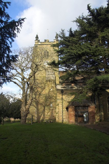
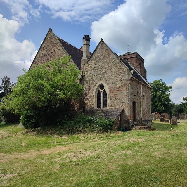
Church of St Peter & St Paul, Kingsbury

The Church of St Peter & St Paul is a Church of England parish church in the village of Kingsbury, Warwickshire, England. It is the only Church of England...

Kingsbury, Warwickshire

Kingsbury is a large village and civil parish in the North Warwickshire district of the county of Warwickshire, in the West Midlands region of England...

Kingsbury School, Warwickshire

Kingsbury School is a coeducational secondary school located in the village of Kingsbury, Warwickshire, England. Its main catchment area is Kingsbury,...

Whitacre Heath

Whitacre Heath is a small village in the North Warwickshire district of the county of Warwickshire in England. It is one of 'The Whitacres' - Whitacre...

Hurley, Warwickshire

Hurley is a village in the Kingsbury civil parish of North Warwickshire, England. Other nearby places include Wood End, Hurley Common, Coleshill, Water...

Nether Whitacre

Nether Whitacre is a small village and larger rural civil parish in North Warwickshire, Warwickshire, England. == Topography == It is one of 'The Whitacres...

Nearby Amenities

Located within 500m of 52.54973,-1.6690681
The data included in this document is from www.openstreetmap.org. The data is made available under ODbL.

Have you been to Birch Covert?

Leave your review of Birch Covert below (or comments, questions and feedback).