Baltic Wood

Wood, Forest in Derbyshire Derbyshire Dales

England

Baltic Wood

Broadmeadow Shaft Adjacent to the cottages here, which were once the offices of the Alport Mining Company, can be seen a large mound which marks the site of the Broadmeadow Shaft on the Alport mines. This company was an amalgamation of various separate mining concerns and operated the very rich lead mines of this area. They were classed as the most heavily watered mines in the country and suffered from inflows of more than 6000 gallons a minute. Consequently, heavy pumping was necessary, chiefly by water pressure engines which used a column of water to power them. The well known Cornish engineer, Richard Trevithick was consulted and he was responsible for the first of many such underground machines within this region. Water to power the engine in this shaft was taken from the River Lathkill and over Alport village in wooden launders and then by a tunnel to the shaft. All the pumped water, along with that used by the engines (of which there were upwards of seven scattered throughout the workings) was drained away by the deep Hillcarr Sough, a tunnel driven from the River Derwent near Darley Dale.
Broadmeadow Shaft Credit: Richard Bird

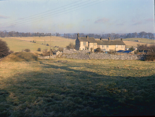
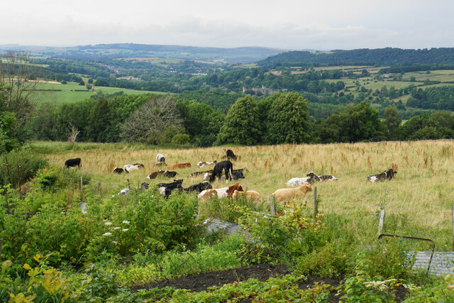
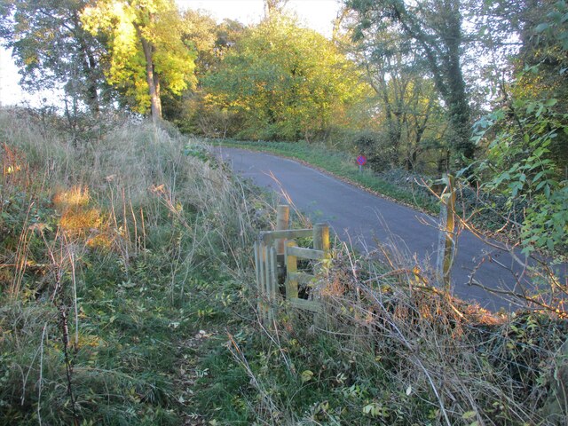
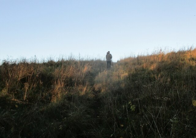
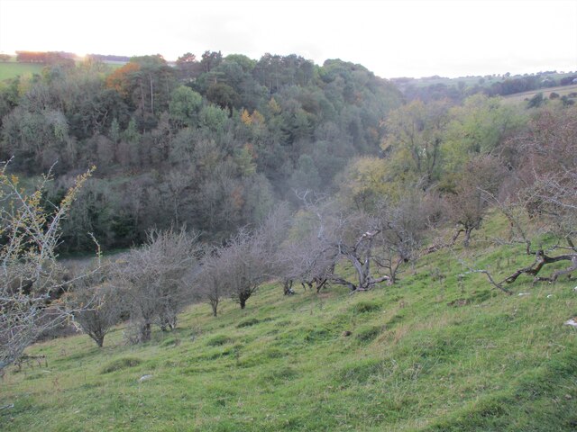
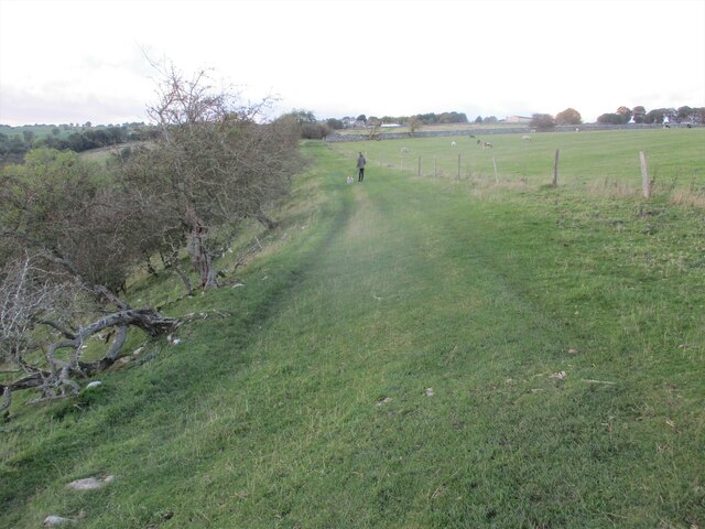
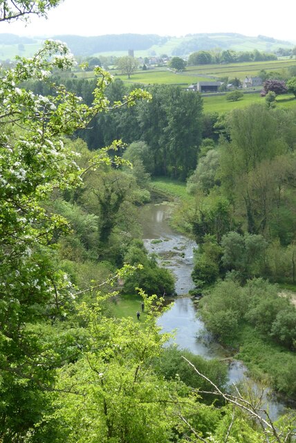
Baltic Wood, located in Derbyshire, is a picturesque forest known for its natural beauty and diverse ecosystem. Covering an expansive area, this woodland is a popular destination for nature enthusiasts and outdoor enthusiasts alike.

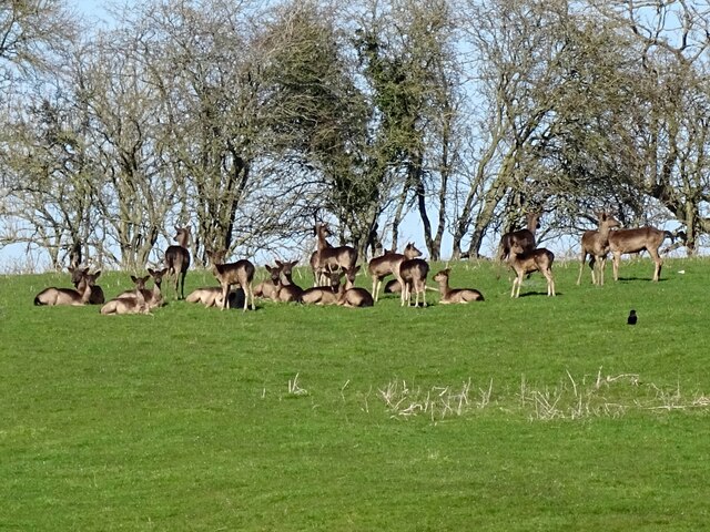
The forest is predominantly composed of deciduous trees, including oak, beech, and birch, which create a stunning display of colors during the autumn season. The thick canopy provides a sheltered environment for a variety of wildlife species, making it an important habitat for many birds, mammals, and insects.

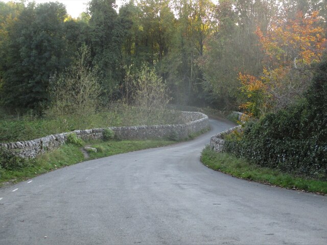
Baltic Wood offers visitors a range of activities to enjoy. Numerous walking trails wind their way through the forest, offering scenic views and opportunities for peaceful contemplation. The forest is also a hub for birdwatching, with a wide range of species such as woodpeckers, owls, and songbirds that can be spotted throughout the year.

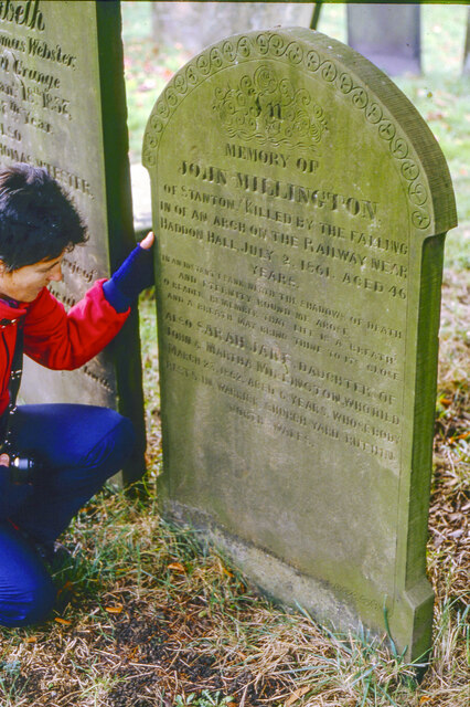
For those interested in history, Baltic Wood holds cultural significance as well. It is believed that the forest has been used by humans for thousands of years, with evidence of ancient settlements and burial mounds. Exploring the area can provide a glimpse into the past and an appreciation for the long-standing connection between people and nature.

Baltic Wood is managed and maintained by local authorities, ensuring that the natural environment remains protected and accessible for future generations to enjoy. Whether seeking a peaceful retreat or an opportunity to immerse oneself in nature, Baltic Wood offers a rich and rewarding experience for all who visit.

If you have any feedback on the listing, please let us know in the comments section below.
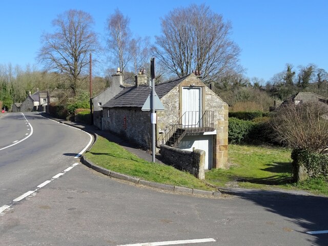
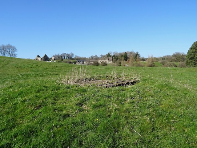
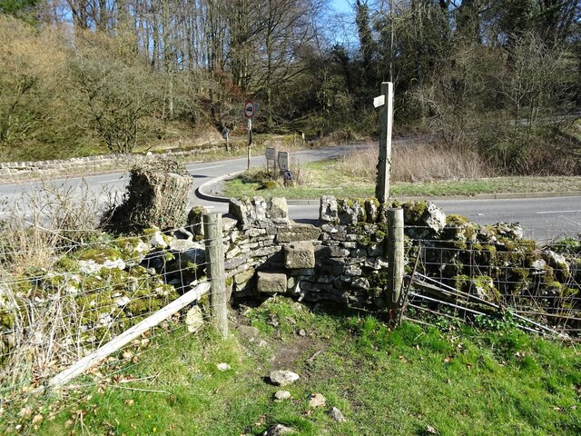
Baltic Wood Images

Images are sourced within 2km of 53.183479/-1.6644836 or Grid Reference SK2265. Thanks to Geograph Open Source API. All images are credited.

Broadmeadow Shaft Adjacent to the cottages here, which were once the offices of the Alport Mining Company, can be seen a large mound which marks the site of the Broadmeadow Shaft on the Alport mines. This company was an amalgamation of various separate mining concerns and operated the very rich lead mines of this area. They were classed as the most heavily watered mines in the country and suffered from inflows of more than 6000 gallons a minute. Consequently, heavy pumping was necessary, chiefly by water pressure engines which used a column of water to power them. The well known Cornish engineer, Richard Trevithick was consulted and he was responsible for the first of many such underground machines within this region. Water to power the engine in this shaft was taken from the River Lathkill and over Alport village in wooden launders and then by a tunnel to the shaft. All the pumped water, along with that used by the engines (of which there were upwards of seven scattered throughout the workings) was drained away by the deep Hillcarr Sough, a tunnel driven from the River Derwent near Darley Dale.
Broadmeadow Shaft
Adjacent to the cottages here, which were once the offices of the Alport Mining Company, can be seen a large mound which marks the site of the Broadmeadow Shaft on the Alport mines. This company was an amalgamation of various separate mining concerns and operated the very rich lead mines of this area. They were classed as the most heavily watered mines in the country and suffered from inflows of more than 6000 gallons a minute. Consequently, heavy pumping was necessary, chiefly by water pressure engines which used a column of water to power them. The well known Cornish engineer, Richard Trevithick was consulted and he was responsible for the first of many such underground machines within this region. Water to power the engine in this shaft was taken from the River Lathkill and over Alport village in wooden launders and then by a tunnel to the shaft. All the pumped water, along with that used by the engines (of which there were upwards of seven scattered throughout the workings) was drained away by the deep Hillcarr Sough, a tunnel driven from the River Derwent near Darley Dale.
Cottages in Stanton in Peak Near the bottom of the long thin village.
Cottages in Stanton in Peak
Near the bottom of the long thin village.
Field at Stanton in Peak Right at the bottom of the village.
Field at Stanton in Peak
Right at the bottom of the village.
Stanton in Peak From the bottom of the village looking up. The spire of Holy Trinity Church is seen but the village continues quite a long way past that.
Stanton in Peak
From the bottom of the village looking up. The spire of Holy Trinity Church is seen but the village continues quite a long way past that.
Stanton in Peak The village pub, the Flying Childers, is straight ahead, and the spire of Holy Trinity Church is behind.
Stanton in Peak
The village pub, the Flying Childers, is straight ahead, and the spire of Holy Trinity Church is behind.
Allotments and cattle at Stanton in Peak Looking down on the valley of the River Wye where Haddon Hall can be seen.
Allotments and cattle at Stanton in Peak
Looking down on the valley of the River Wye where Haddon Hall can be seen.
Grave of John Millington, railway navvy, Youlgreave Churchyard During the construction of the Midland Railway near Haddon Hall in 1861 a tunnel was insisted upon by the Duke of Rutland so that the line could not be seen from the hall. A part of this tunnel collapsed during construction on 2nd July 1861 killing five workers. The grave of one of these can be found in the churchyard. The inscription reads: "In memory of John Millington of Stanton, killed by the falling of an arch on the railway near Haddon Hall, July 2nd 1861 aged 46 years". Reference to his 6 year old daughter is also on the stone whose body rests in Warrick churchyard, Ruthin, North Wales.
Grave of John Millington, railway navvy, Youlgreave Churchyard
During the construction of the Midland Railway near Haddon Hall in 1861 a tunnel was insisted upon by the Duke of Rutland so that the line could not be seen from the hall. A part of this tunnel collapsed during construction on 2nd July 1861 killing five workers. The grave of one of these can be found in the churchyard. The inscription reads: "In memory of John Millington of Stanton, killed by the falling of an arch on the railway near Haddon Hall, July 2nd 1861 aged 46 years". Reference to his 6 year old daughter is also on the stone whose body rests in Warrick churchyard, Ruthin, North Wales.
Conksbury  Bridge  over  River  Lathkill In Lathkill Dale
Conksbury Bridge over River Lathkill
In Lathkill Dale
Footpath  coming  off  minor  road Takes you over fields to Over Haddon
Footpath coming off minor road
Takes you over fields to Over Haddon
Footpath  through  rough  pasture  out  of  Lathkill  Dale
Footpath through rough pasture out of Lathkill Dale
Into  steep  sided  Lathkill  Dale From the field footpath to Over Haddon
Into steep sided Lathkill Dale
From the field footpath to Over Haddon
Footpath  over  fields  to  Over  Haddon
Footpath over fields to Over Haddon
Old barn on the edge of Alport Not yet converted into a luxury residence.
Old barn on the edge of Alport
Not yet converted into a luxury residence.
A herd of deer
A herd of deer
Old lead shaft capped with concrete Harthill Hall is in the background
Old lead shaft capped with concrete
Harthill Hall is in the background
Step stile and fingerpost Off the B5056 at the junction with Birchover Road.
Step stile and fingerpost
Off the B5056 at the junction with Birchover Road.
Children's play area
Lathkill Dale View down to the River Lathkill in Lathkill Dale.  The tower of Youlgreave church can be seen in the distance.
Lathkill Dale
View down to the River Lathkill in Lathkill Dale. The tower of Youlgreave church can be seen in the distance.
Show me another place!

Baltic Wood is located at Grid Ref: SK2265 (Lat: 53.183479, Lng: -1.6644836)

Administrative County: Derbyshire

District: Derbyshire Dales

Police Authority: Derbyshire

What 3 Words

///classic.scope.operation. Near Youlgreave, Derbyshire

Related Wikis

Harthill Hall

Harthill Hall was formerly the Manor House of a great 13th century Estate, and the hall is now a Grade II listed building within the civil parish of Harthill...
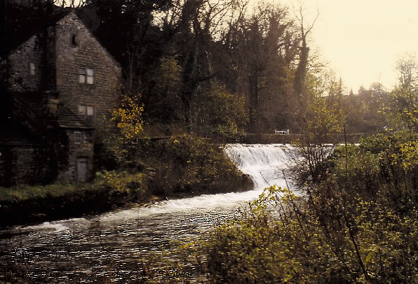
Alport

Alport is a hamlet in the White Peak area of Derbyshire, England. It lies east of Youlgreave, at the confluence of the River Bradford and the River Lathkill...

River Bradford

The River Bradford is a river in the Peak District National Park in Derbyshire. Its source is on Gratton Moor and after passing below Youlgreave it joins...

Nether Haddon

Nether Haddon is a sparsely populated village and civil parish in Derbyshire, England. It is immediately downstream along the River Wye from the small...

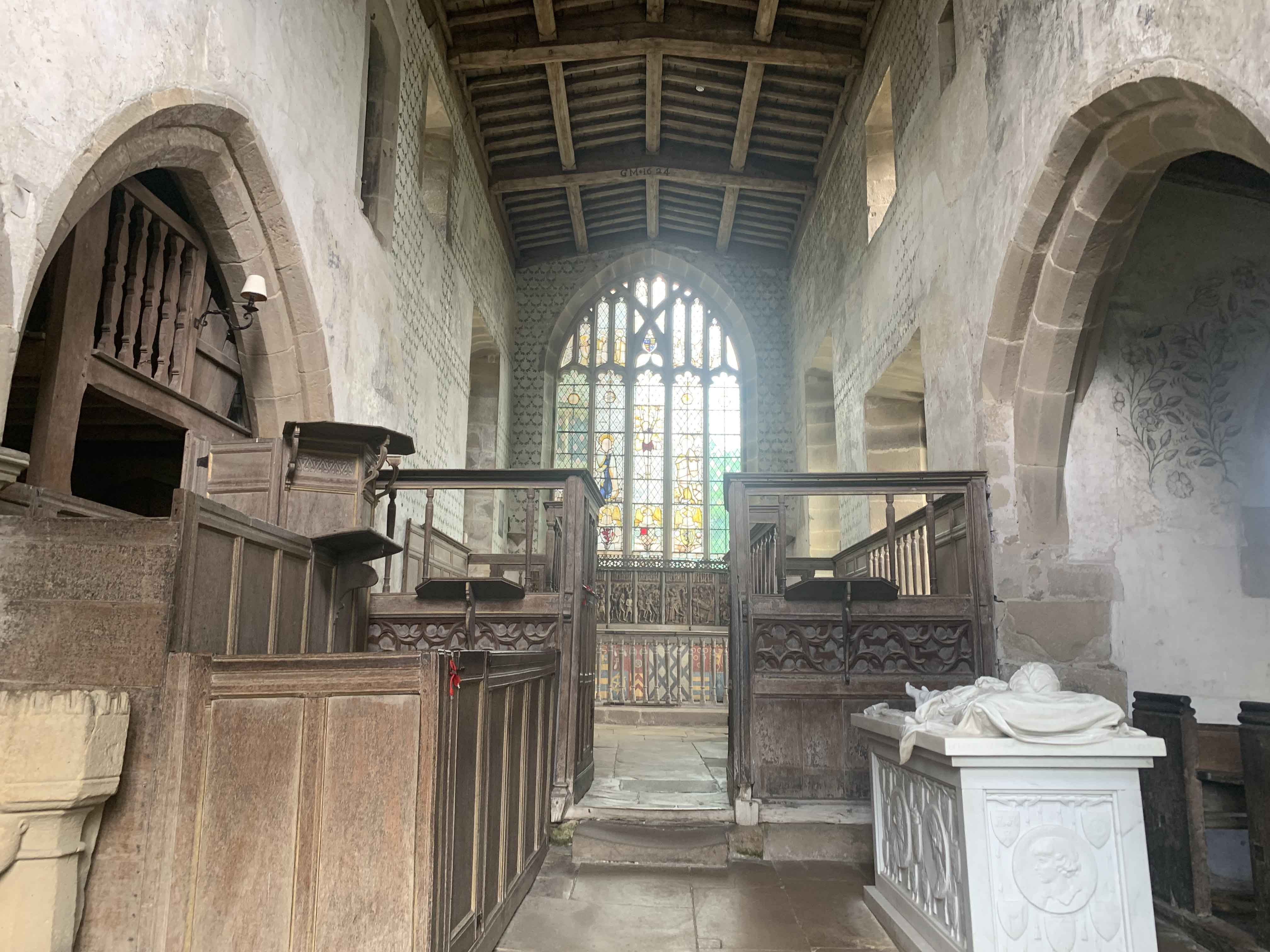
Chapel of St Nicholas, Haddon Hall

The Chapel St John Nicholas, Haddon Hall is a Grade I listed Church of England chapel in Haddon Hall, Derbyshire. The chapel's origins are Norman, with...
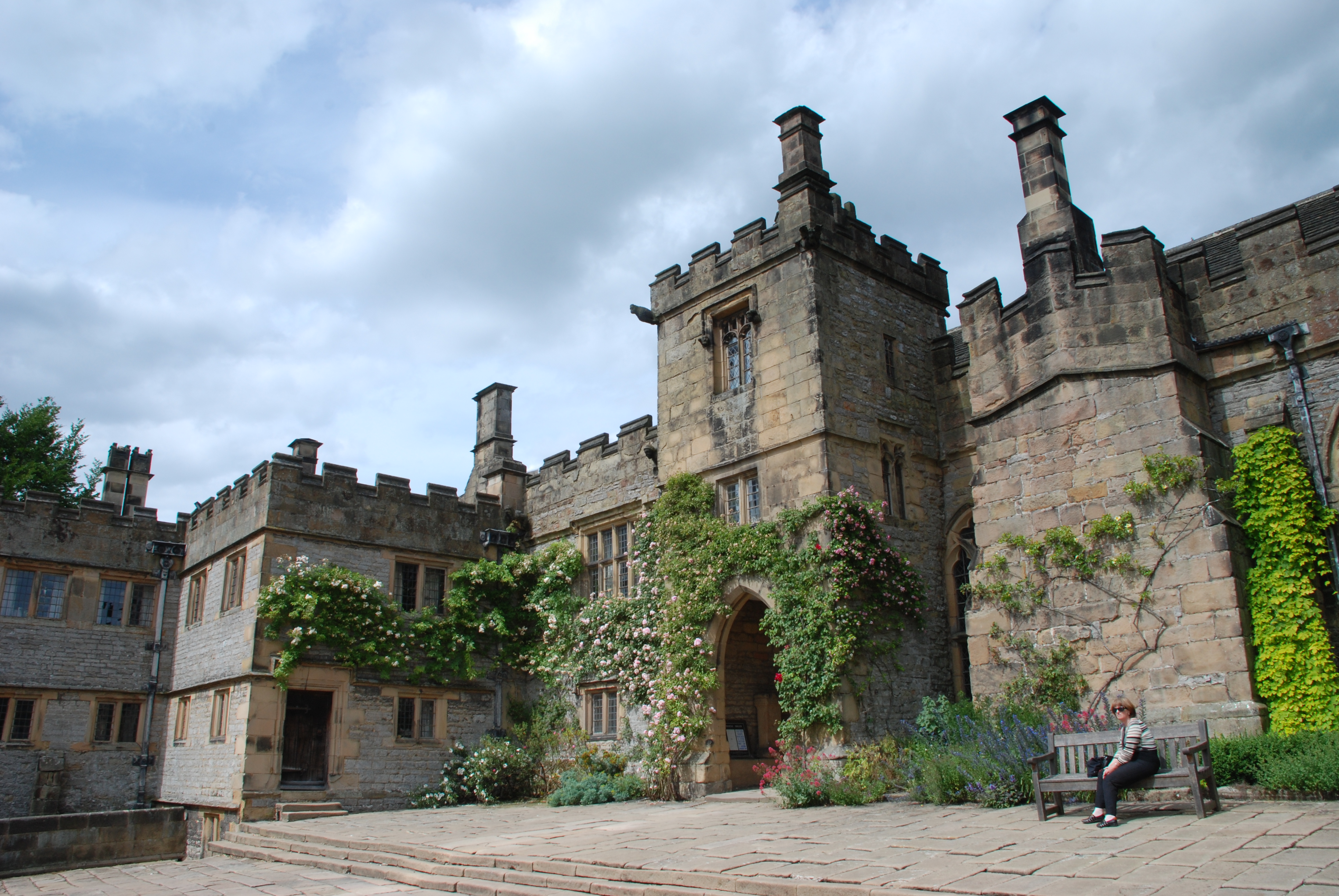
Haddon Hall

Haddon Hall is an English country house on the River Wye near Bakewell, Derbyshire, a former seat of the Dukes of Rutland. It is the home of Lord Edward...

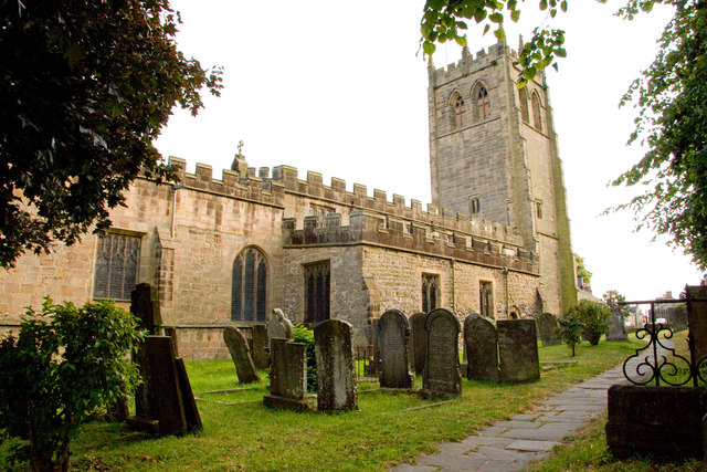
All Saints' Church, Youlgreave

All Saints’ Church, Youlgreave is a Grade I listed parish church in the Church of England in Youlgreave, Derbyshire. == History == The church dates from...
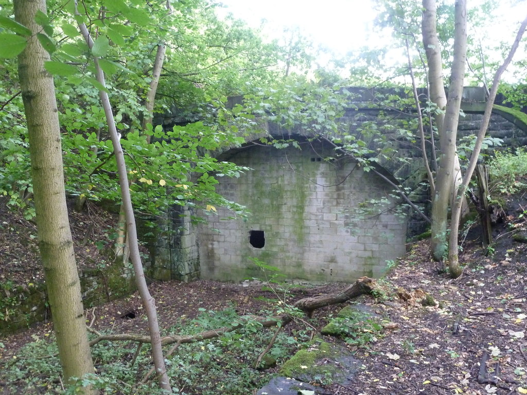
Haddon Tunnel

Haddon Tunnel was built by the Midland Railway in 1863 when extending the Manchester, Buxton, Matlock and Midlands Junction Railway from Rowsley to Buxton...

Nearby Amenities

Located within 500m of 53.183479,-1.6644836
Barrier: stile
Material: stone
Source: survey;gps
Steps: 1
Stile: stepover
Lat/Long: 53.1843052/-1.6613616
Barrier: stile
Steps: 1
Stile: stepover
Lat/Long: 53.1831252/-1.6636172
Barrier: stile
Material: wood
Steps: 1
Stile: stepover
Lat/Long: 53.1819763/-1.6631772
Barrier: stile
Material: stone
Source: survey;gps
Steps: 2
Stile: stepover
Lat/Long: 53.1824587/-1.6628049
Barrier: stile
Material: stone
Source: survey;gps
Steps: 2
Stile: stepover
Lat/Long: 53.184958/-1.6586807
The data included in this document is from www.openstreetmap.org. The data is made available under ODbL.

Have you been to Baltic Wood?

Leave your review of Baltic Wood below (or comments, questions and feedback).