Dud Wood
Wood, Forest in Derbyshire Derbyshire Dales
England
Dud Wood
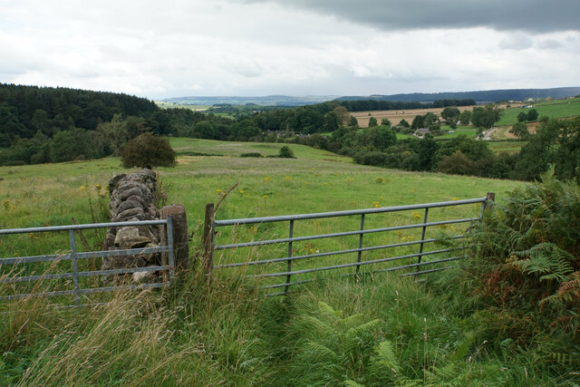
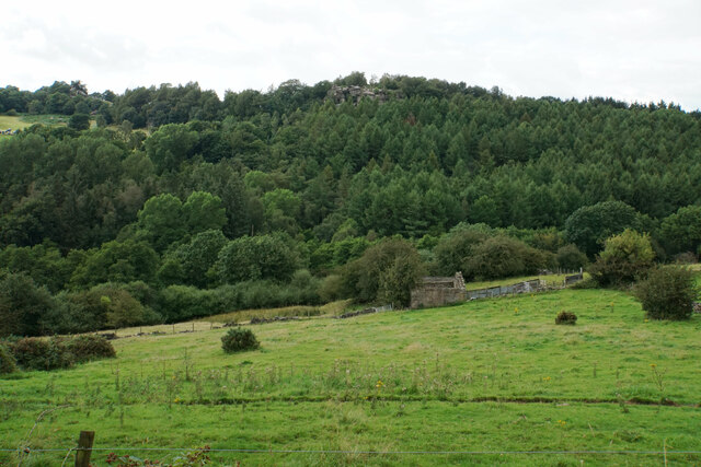
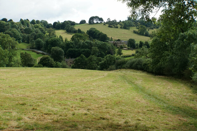
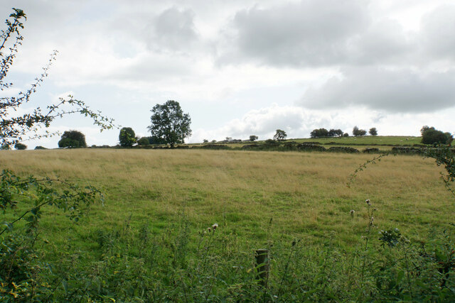
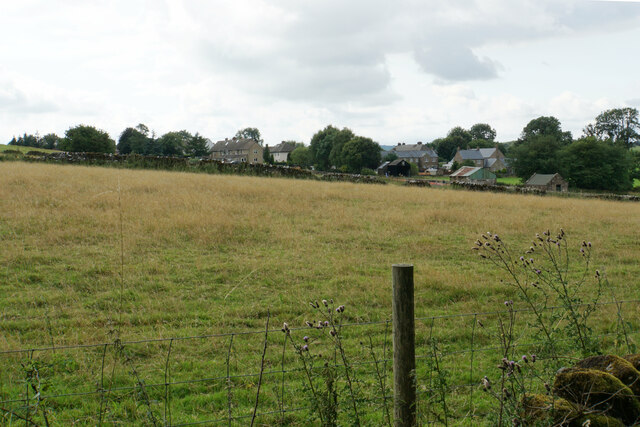
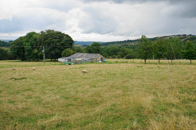
Dud Wood is a picturesque woodland located in Derbyshire, England. Situated within the Peak District National Park, it covers an area of approximately 250 acres and is known for its natural beauty and diverse wildlife.
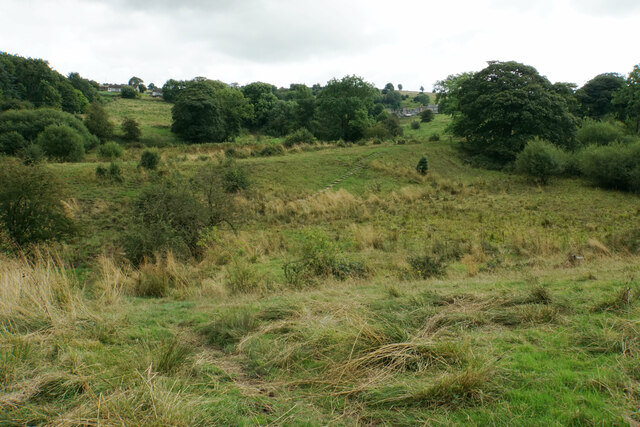
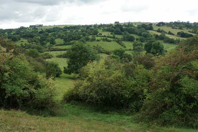
The wood is predominantly composed of native broadleaf trees, including oak, birch, and beech. These towering trees create a dense canopy, providing a habitat for a wide variety of flora and fauna. Bluebells carpet the forest floor in spring, creating a stunning display of vibrant colors.
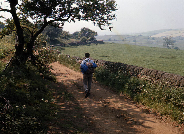
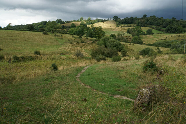
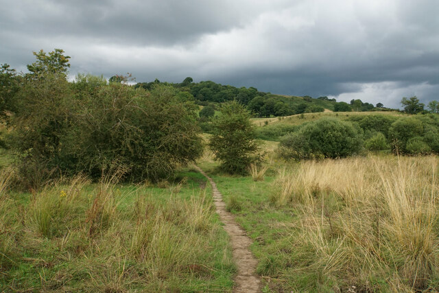
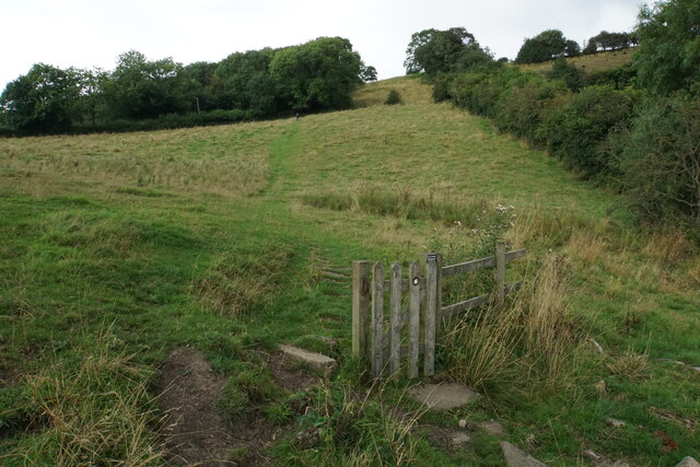
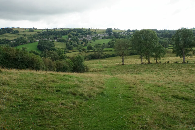
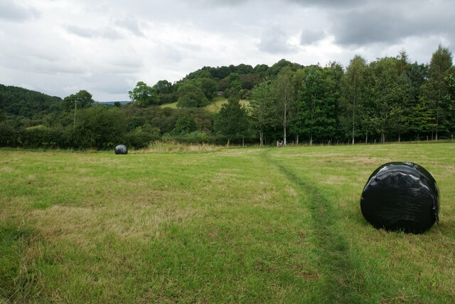
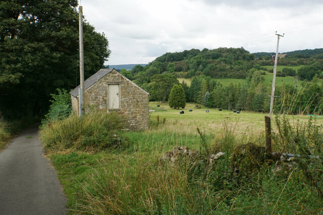
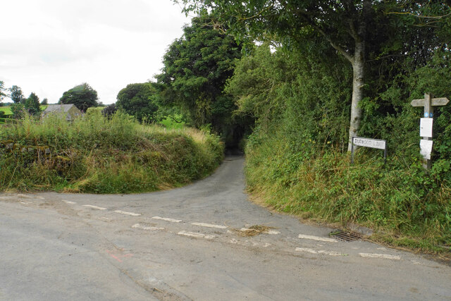
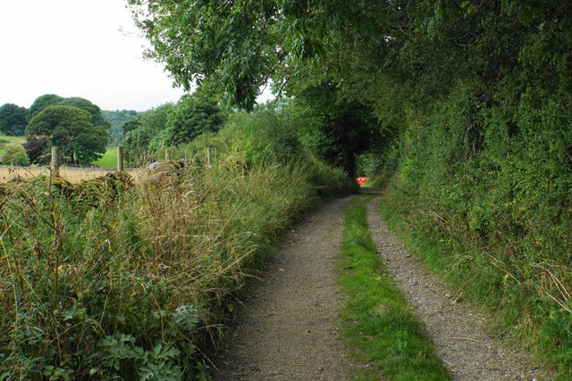
Dud Wood is intersected by a network of well-maintained footpaths, making it a popular destination for walkers and nature enthusiasts. The paths wind through the woodland, allowing visitors to explore its hidden nooks and crannies. There are also several picnic areas dotted throughout the wood, providing the perfect spot to relax and enjoy the surroundings.
The wood is teeming with wildlife, including deer, foxes, and a myriad of bird species. Birdwatchers can spot species such as woodpeckers, tits, and owls, making it a haven for ornithology enthusiasts.
Dud Wood is not only a natural gem but also holds historical significance. It is believed to have been part of the ancient Sherwood Forest and was once a royal hunting ground. Traces of this history can still be found within the wood, with remnants of old deer stands and boundary markers.
Overall, Dud Wood offers a tranquil escape from the hustle and bustle of modern life, providing visitors with a chance to immerse themselves in nature and discover the beauty of Derbyshire's woodlands.
If you have any feedback on the listing, please let us know in the comments section below.
Dud Wood Images
Images are sourced within 2km of 53.153901/-1.6662543 or Grid Reference SK2261. Thanks to Geograph Open Source API. All images are credited.

Dud Wood is located at Grid Ref: SK2261 (Lat: 53.153901, Lng: -1.6662543)
Administrative County: Derbyshire
District: Derbyshire Dales
Police Authority: Derbyshire
What 3 Words
///highs.hiring.universes. Near Youlgreave, Derbyshire
Nearby Locations
Related Wikis
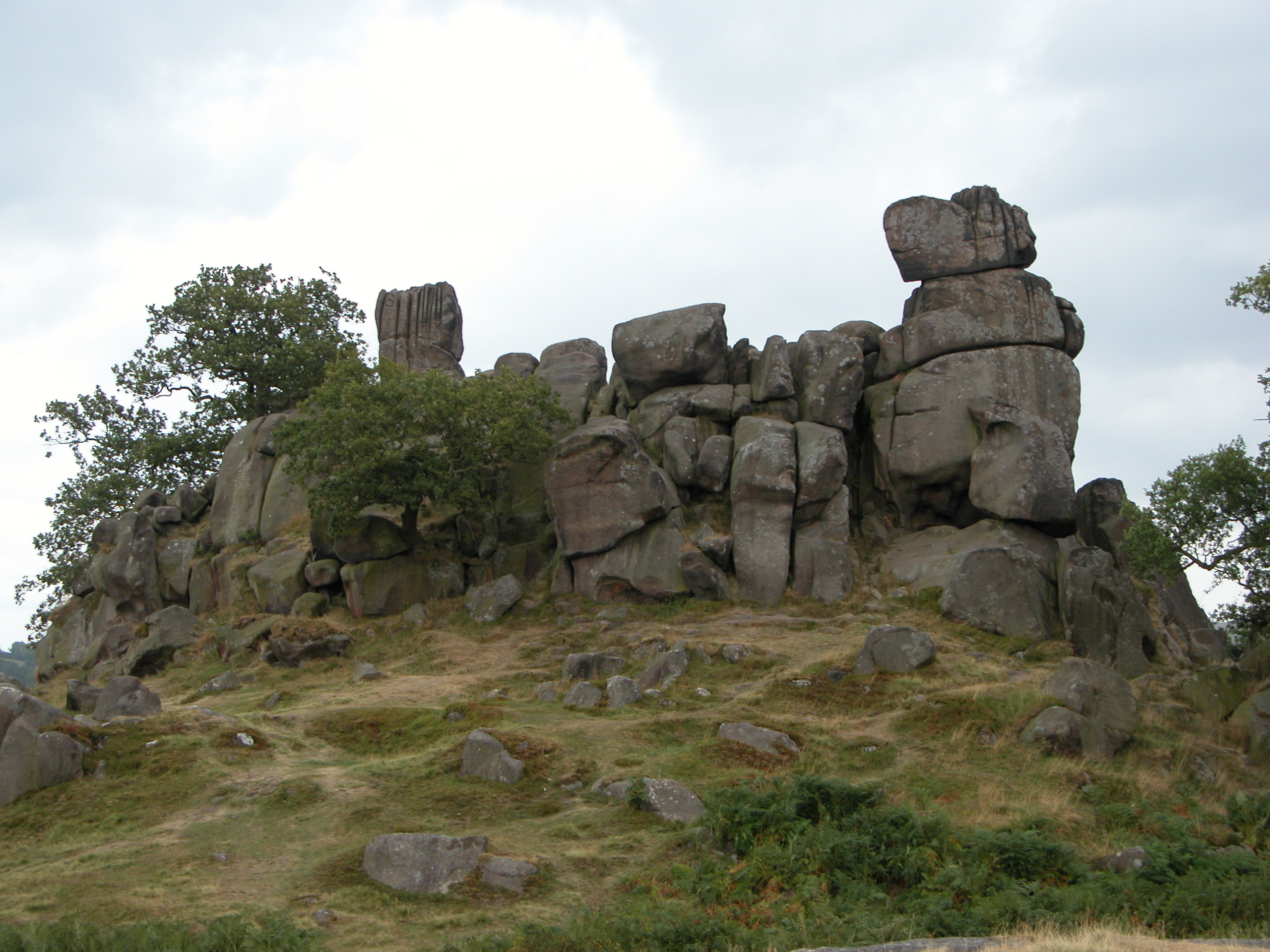
Robin Hood's Stride
Robin Hood's Stride (also known as Mock Beggar's Mansion) is a rock formation on the Limestone Way in Derbyshire close to the village of Elton. The nearest...

Nine Stones Close
Nine Stones Close, also known as the Grey Ladies, is a stone circle on Harthill Moor in Derbyshire in the English East Midlands. It is part of a tradition...

All Saints' Church, Elton
All Saints’ Church, Elton is a Grade II listed Church of England church in Elton, Derbyshire. == History == Elton was originally one of the chapelries...

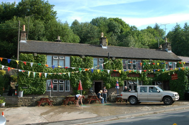
Duke of York Inn, Elton
The Duke of York Inn is a Grade II listed public house at Main Street, Elton, Derbyshire DE4 2BW.It is on the Campaign for Real Ale's National Inventory...

Elton, Derbyshire
Elton is a village and civil parish in the Derbyshire Dales district of Derbyshire, England, and lies within the Peak District. Its nearest towns are Bakewell...
Birchover
Birchover is a village and civil parish in the Peak District National Park in Derbyshire, England, five miles north-west of Matlock. At the 2001 Census...

Derbyshire Dales (UK Parliament constituency)
Derbyshire Dales ( DAR-bee-sheer, -shər) is a constituency that has been represented in the House of Commons of the UK Parliament since 2019 by Sarah...

St Michael's Church, Birchover
St Michael's Church, Birchover, also known as Rowtor Chapel, is a Grade II listed parish church in the Church of England in Birchover, Derbyshire. Located...
Nearby Amenities
Located within 500m of 53.153901,-1.6662543Have you been to Dud Wood?
Leave your review of Dud Wood below (or comments, questions and feedback).