Bilton Wood
Wood, Forest in Northumberland
England
Bilton Wood

Bilton Wood is a picturesque forest located in the county of Northumberland, England. Covering an area of approximately 50 acres, this woodland is a haven for nature lovers and outdoor enthusiasts alike. Situated in the heart of the Northumberland countryside, Bilton Wood offers a tranquil escape from the hustle and bustle of everyday life.
The woodland is primarily composed of oak, beech, and birch trees, creating a diverse and vibrant ecosystem. The thick canopy provides shade in the summer months, while the fallen leaves create a colorful carpet during autumn. The forest floor is also home to a variety of wildflowers, adding splashes of color to the landscape.
Bilton Wood is crisscrossed by a network of walking trails, allowing visitors to explore the forest at their own pace. These well-maintained paths meander through the trees, offering glimpses of local wildlife such as rabbits, deer, and a wide array of bird species. The tranquil atmosphere of the woodland makes it an ideal spot for birdwatching and nature photography.
In addition to its natural beauty, Bilton Wood has a rich history. The area was once part of an ancient hunting ground, and remnants of stone age settlements have been discovered within its boundaries. The wood has also been used for timber production over the years, contributing to the local economy.
Overall, Bilton Wood is a captivating destination for anyone seeking a peaceful retreat in the heart of Northumberland. Its stunning landscapes, diverse wildlife, and historical significance make it a must-visit location for nature enthusiasts and history buffs alike.
If you have any feedback on the listing, please let us know in the comments section below.
Bilton Wood Images
Images are sourced within 2km of 55.399632/-1.648796 or Grid Reference NU2211. Thanks to Geograph Open Source API. All images are credited.


Bilton Wood is located at Grid Ref: NU2211 (Lat: 55.399632, Lng: -1.648796)
Unitary Authority: Northumberland
Police Authority: Northumbria
What 3 Words
///lawn.outcasts.resists. Near Lesbury, Northumberland
Nearby Locations
Related Wikis
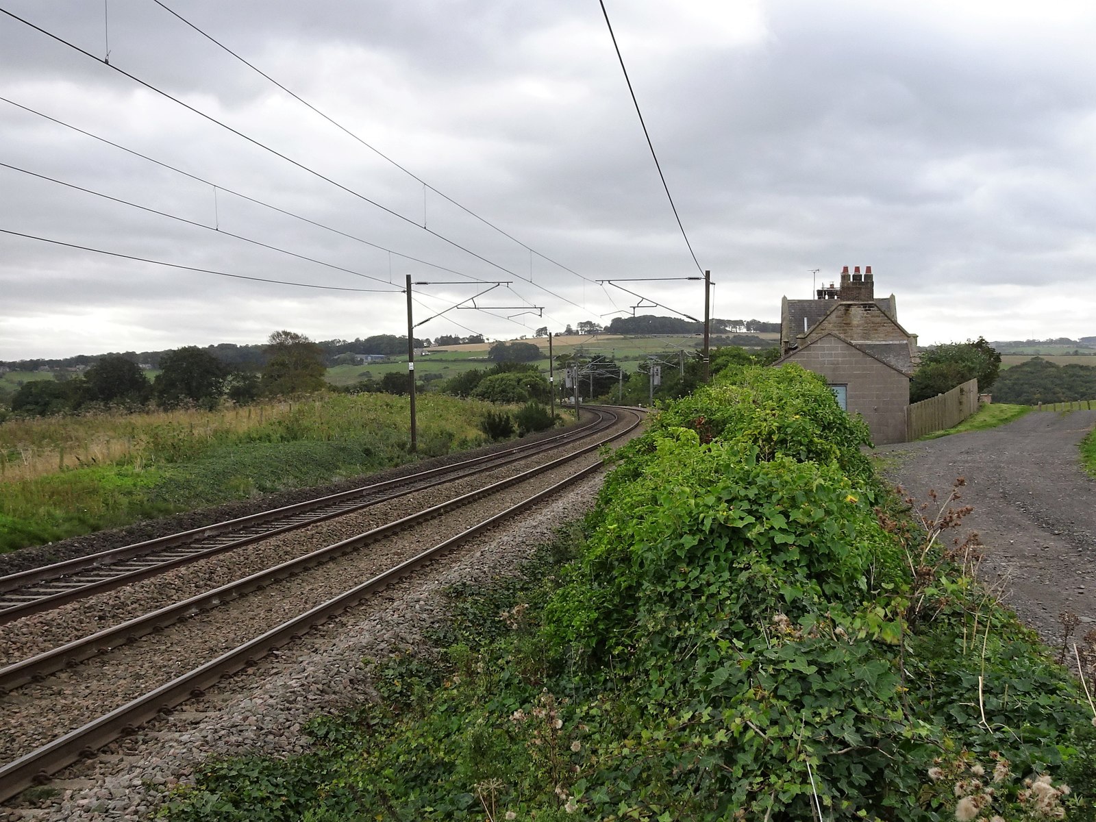
Lesbury railway station
Lesbury railway station served the village of Lesbury, Northumberland, England from 1847 to 1850 on the East Coast Main Line. == History == The station...
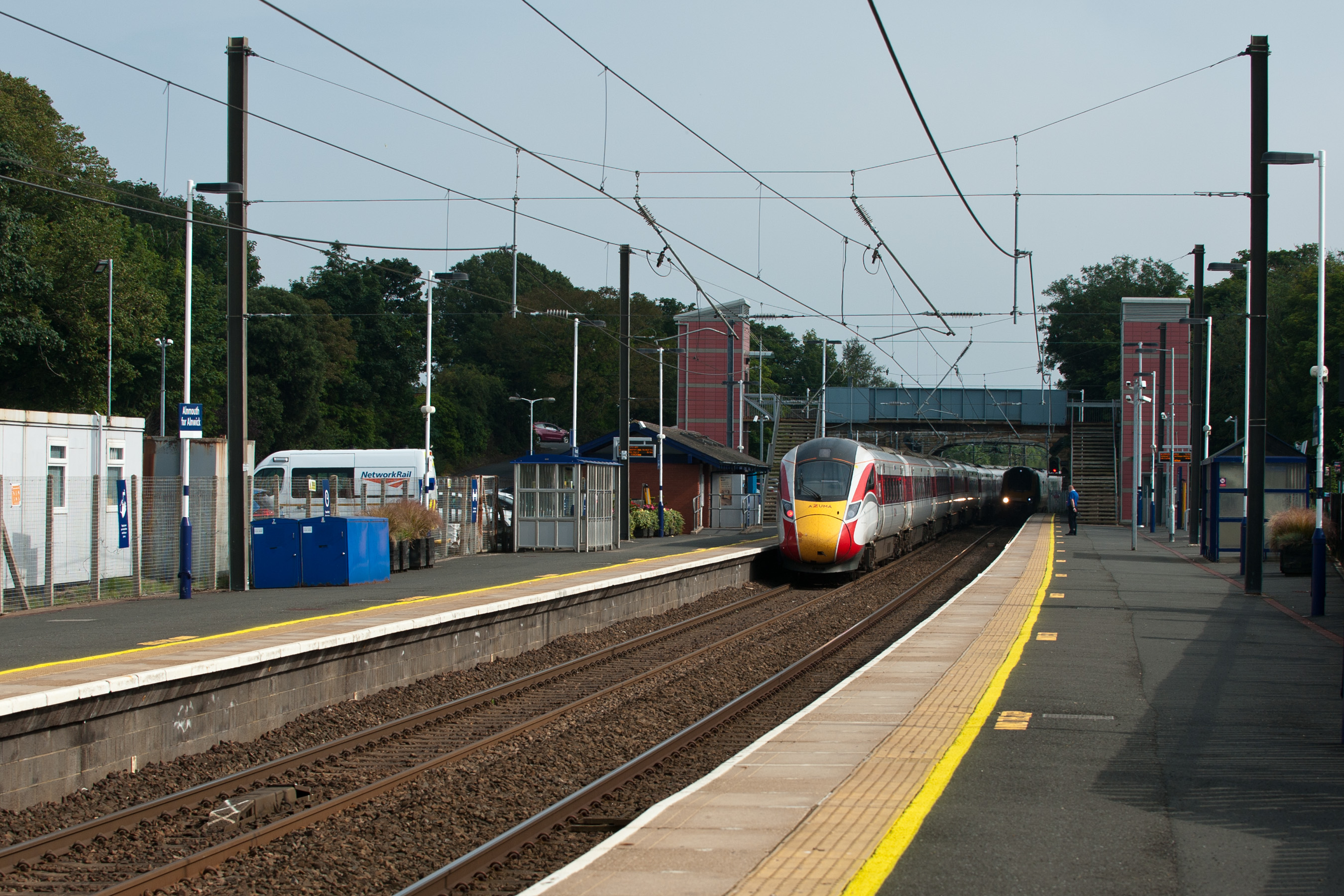
Alnmouth railway station
Alnmouth (also known as Alnmouth for Alnwick) is a railway station on the East Coast Main Line, which runs between London King's Cross and Edinburgh Waverley...
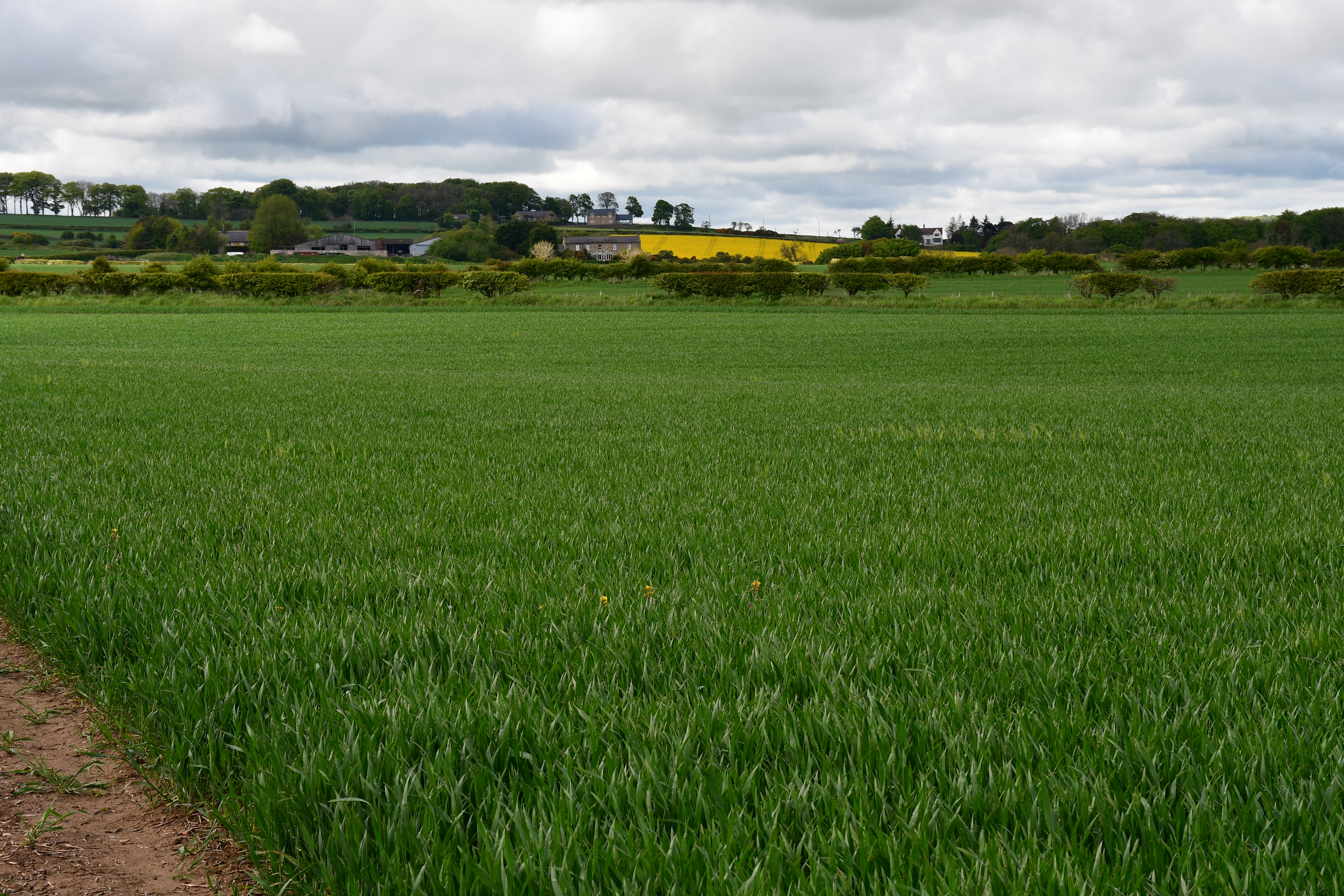
Bilton, Northumberland
Bilton is a hamlet in the civil parish of Lesbury, Northumberland, in England. It is situated near the River Aln, a short distance inland from the North...

Lesbury
Lesbury is a small rural village in Northumberland in the north of England. It is built on the main coastal road 3.5 miles (5.6 km) southeast of Alnwick...
Nearby Amenities
Located within 500m of 55.399632,-1.648796Have you been to Bilton Wood?
Leave your review of Bilton Wood below (or comments, questions and feedback).