Dartford
Settlement in Kent Dartford
England
Dartford
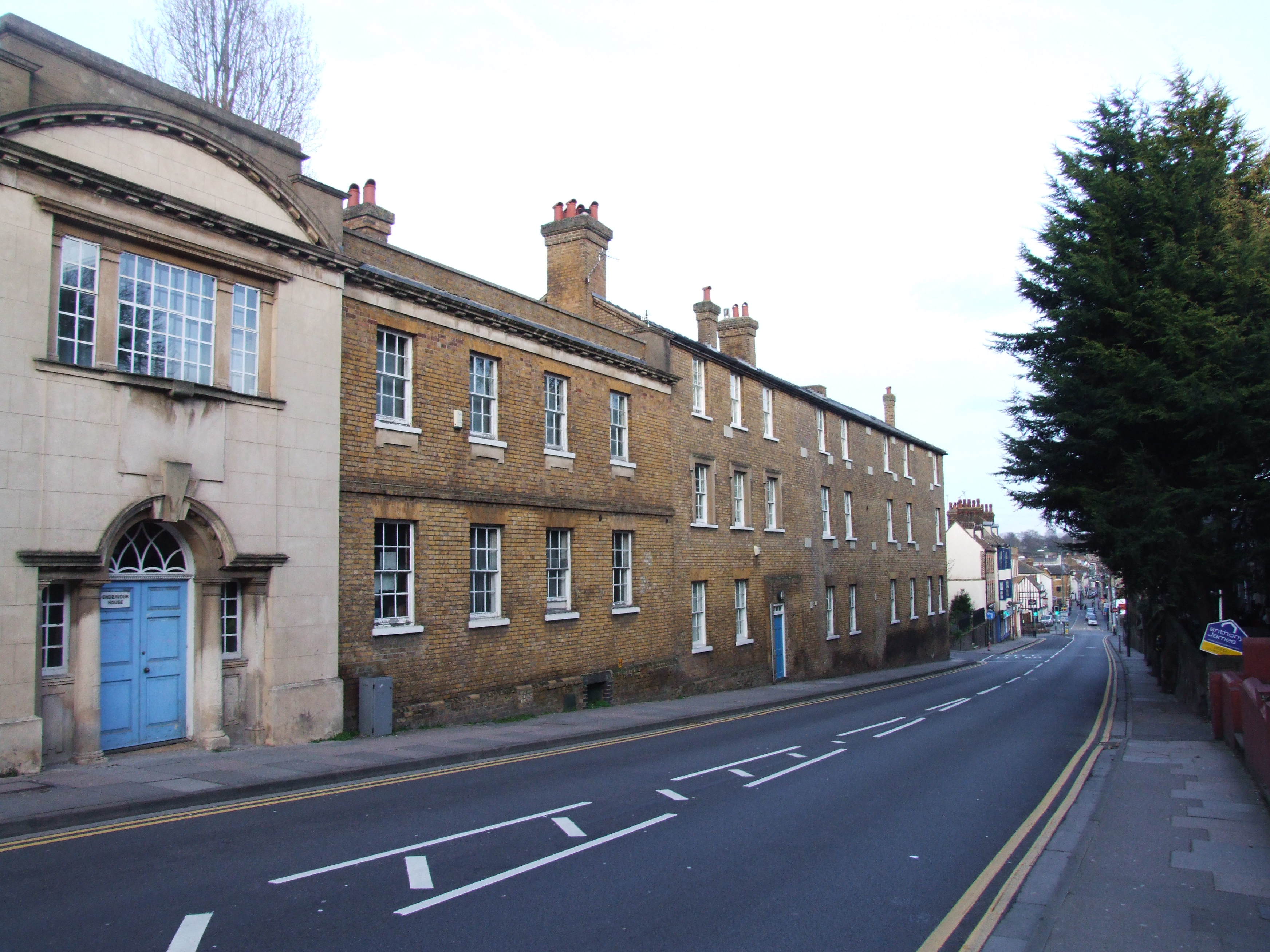
Dartford is a town located in the county of Kent, in southeastern England. Situated on the banks of the River Darent, Dartford has a population of around 100,000 people. The town is well-known for its historical significance and its proximity to London, making it a popular residential area for commuters.
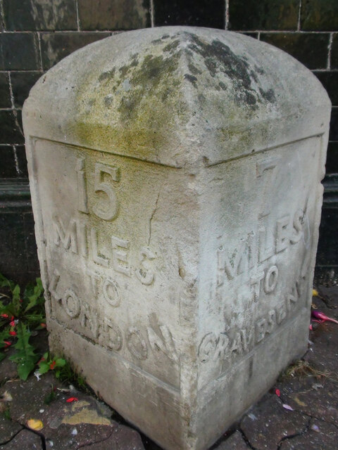
Dartford has a rich history that dates back to Roman times, with evidence of settlements and trade routes found in the area. The town's strategic location along the River Thames also played a crucial role in its development over the centuries. Dartford is famous for being the birthplace of Mick Jagger and Keith Richards, two members of the iconic rock band, The Rolling Stones.
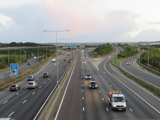
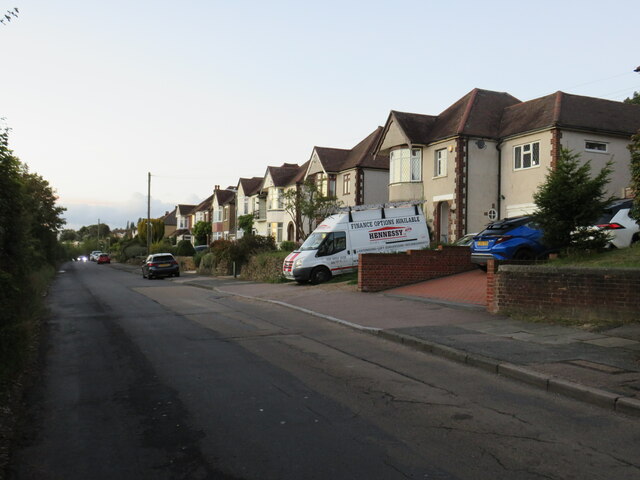
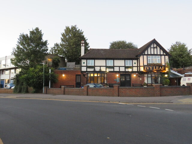
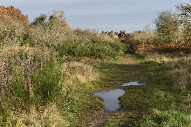
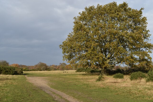
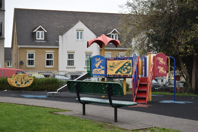
In terms of amenities and facilities, Dartford boasts a thriving town center with a range of shops, restaurants, and entertainment venues. The town is also home to several parks and green spaces, providing residents with ample opportunities for outdoor activities. Notable landmarks in Dartford include the Dartford Crossing, a major river crossing that connects Kent to Essex, and the Dartford Bridge, an impressive architectural structure.
Transportation in Dartford is well-developed, with excellent road and rail links. The town is served by the M25 motorway, providing easy access to London and other parts of the country. Dartford also has a railway station that offers regular services to London and other major cities in the region.
Overall, Dartford is a vibrant and historically significant town in Kent, offering residents a mix of historical charm, modern amenities, and excellent transport connections.
If you have any feedback on the listing, please let us know in the comments section below.
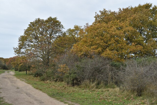
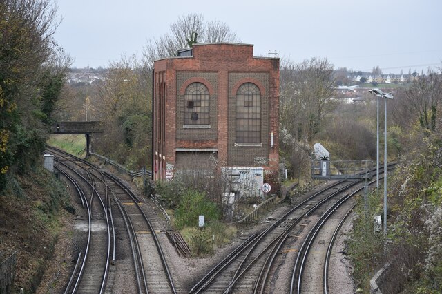
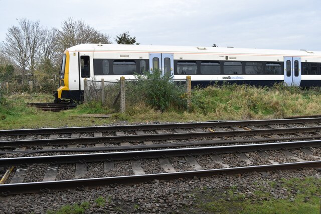
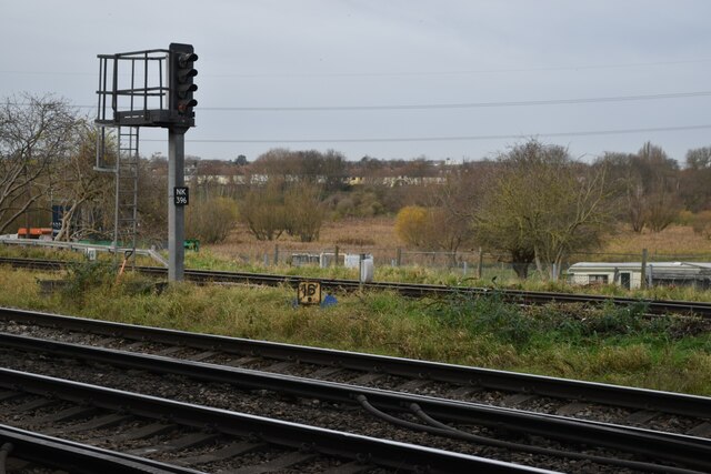
Dartford Images
Images are sourced within 2km of 51.438499/0.214573 or Grid Reference TQ5473. Thanks to Geograph Open Source API. All images are credited.

Dartford is located at Grid Ref: TQ5473 (Lat: 51.438499, Lng: 0.214573)
Administrative County: Kent
District: Dartford
Police Authority: Kent
What 3 Words
///grants.linked.terms. Near Dartford, Kent
Nearby Locations
Related Wikis

Kent Football United F.C.
Kent Football United Football Club was a semi-professional football club based in Dartford, Kent, England. They play at the Glentworth Sports Club. �...
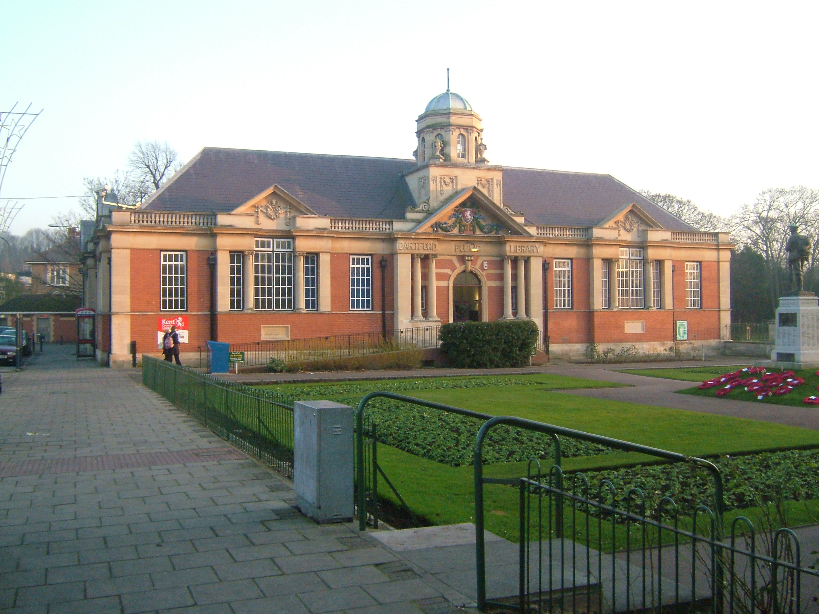
Dartford Library
Dartford Central Library and Museum is a library in the town centre of Dartford, Kent, England. The library was opened on 1 January 1916 by A. W. Smale...
Dartford
Dartford is the principal town in the Borough of Dartford, Kent, England. It is located 18 mi (29 km) south-east of Central London and is situated adjacent...

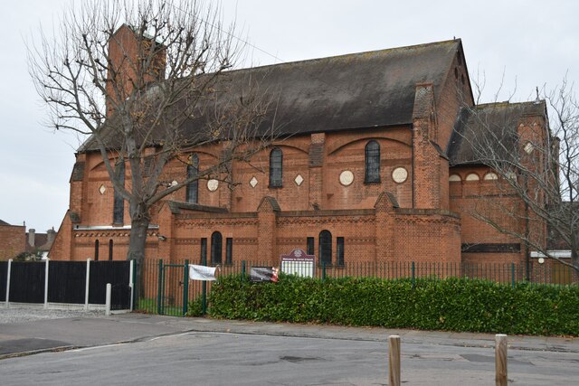
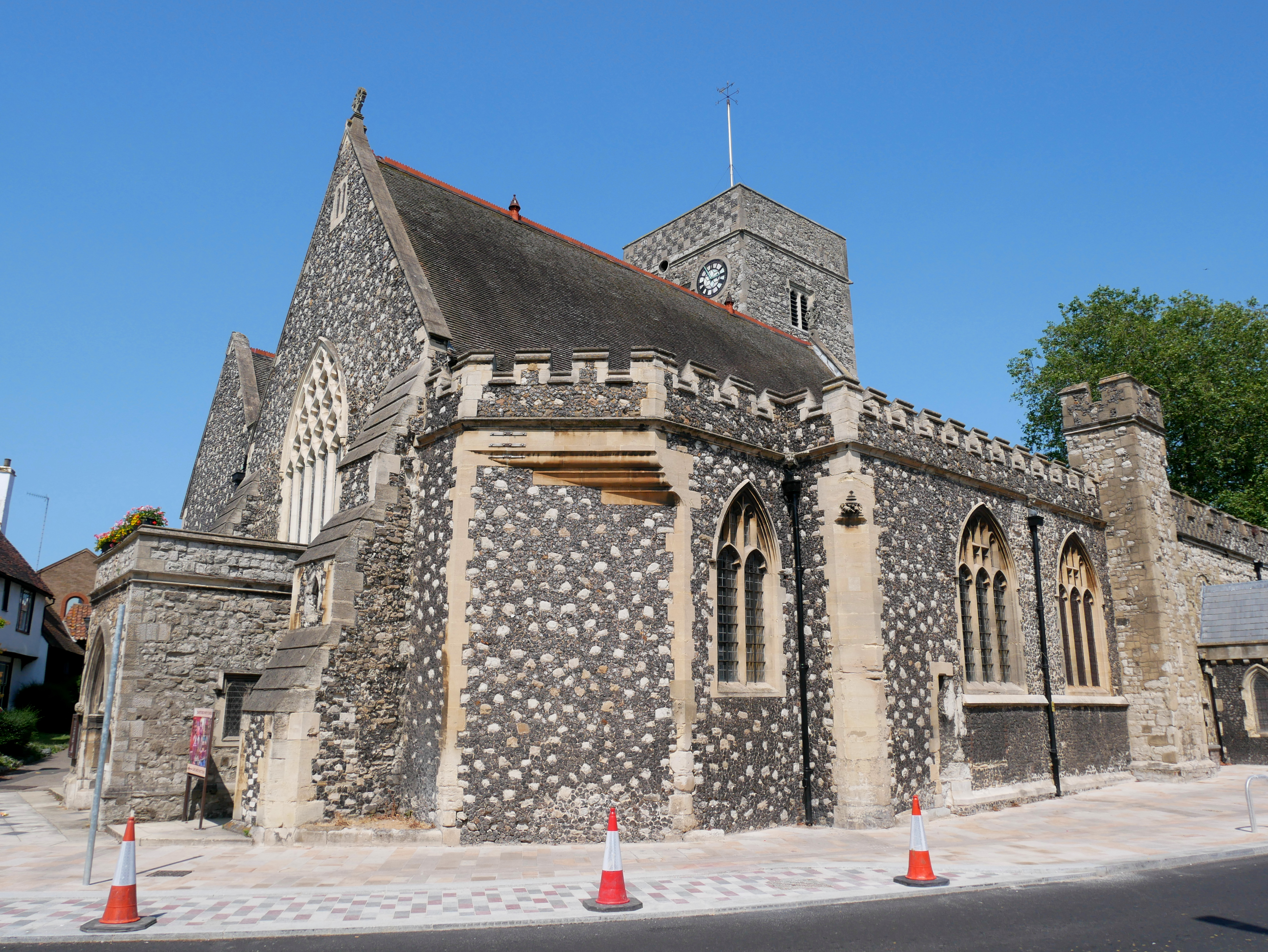
Holy Trinity Church, Dartford
Holy Trinity Church, Dartford, is a parish church affiliated with the Church of England in Dartford, Kent. It is a Grade I listed building dating from...
Dartford Science & Technology College
Dartford Science & Technology College (DSTC) is a non-selective school for girls in Dartford, Kent, England. DSTC has moved to a campus it shares with...
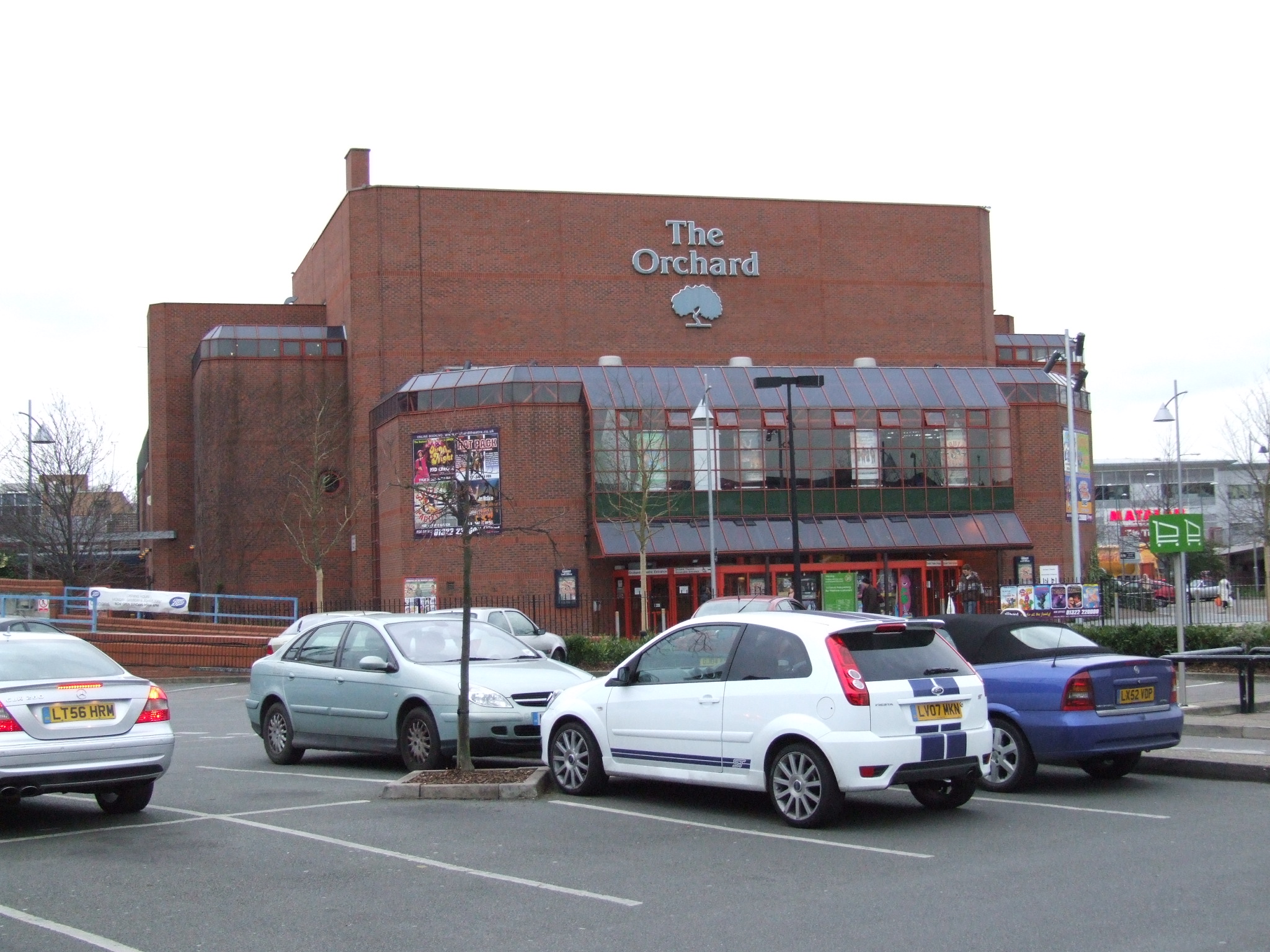
Orchard Theatre, Dartford
The Orchard Theatre is a 1025-seat receiving theatre in the centre of Dartford, Kent. It was built by Dartford Borough Council and opened by The Duke of...
West Hill Hospital
West Hill Hospital was a health facility in West Hill, Dartford, Kent, England. It was managed by Dartford and Gravesham NHS Trust. == History == The facility...

Dartford Grammar School for Girls
Dartford Grammar School for Girls is a grammar school for girls in Dartford, Kent, England. Formerly known as Dartford County School, the school opened...
Nearby Amenities
Located within 500m of 51.438499,0.214573Have you been to Dartford?
Leave your review of Dartford below (or comments, questions and feedback).