West Edmondsley Wood
Wood, Forest in Durham
England
West Edmondsley Wood
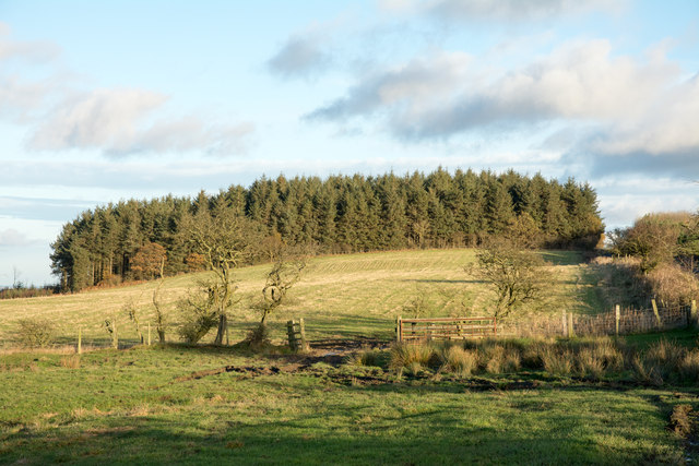
West Edmondsley Wood is a small forest located in the county of Durham, England. Situated near the village of Edmondsley, the wood covers an area of approximately 200 acres. It is part of the larger Edmondsley Hall Estate, which has a history dating back to the 18th century.
The wood is predominantly made up of broadleaf trees, including oak, ash, and beech. These trees provide a dense canopy, creating a tranquil and shaded environment. The forest floor is rich in vegetation, with a variety of wildflowers, ferns, and mosses adding to the natural beauty of the area.
West Edmondsley Wood is not only a haven for nature enthusiasts but also home to a diverse range of wildlife. The wood provides a habitat for many bird species, including woodpeckers, jays, and various songbirds. Small mammals such as squirrels, rabbits, and hedgehogs can also be found within the forest.
The wood offers several walking trails, allowing visitors to explore its natural wonders. These paths meander through the trees, offering glimpses of picturesque views and providing opportunities for nature observation. The forest is a popular destination for hikers, dog walkers, and families looking to enjoy a peaceful day out in nature.
West Edmondsley Wood is an important conservation area, managed by the local authorities to preserve its ecological value. Efforts are made to maintain the woodland's biodiversity and protect its fragile ecosystem. The forest is also actively used for educational purposes, with school groups often visiting to learn about the importance of woodland conservation.
In conclusion, West Edmondsley Wood is a stunning forest in Durham, offering a serene escape from the urban hustle and bustle. With its diverse flora and fauna, picturesque trails, and commitment to conservation, it is a natural gem worth exploring.
If you have any feedback on the listing, please let us know in the comments section below.
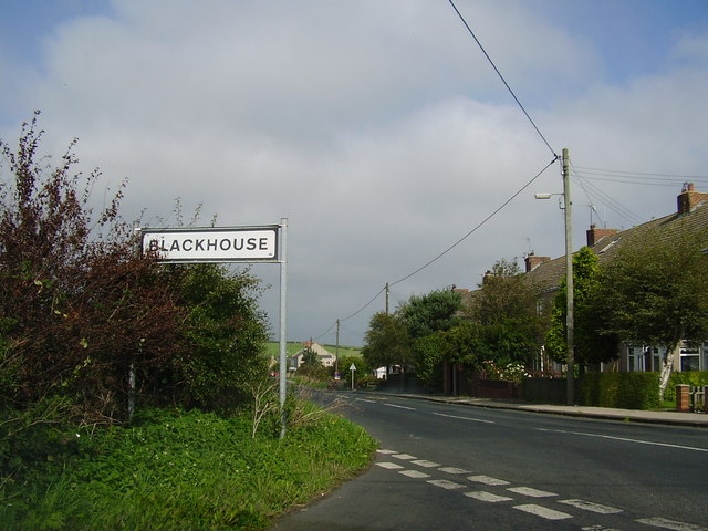
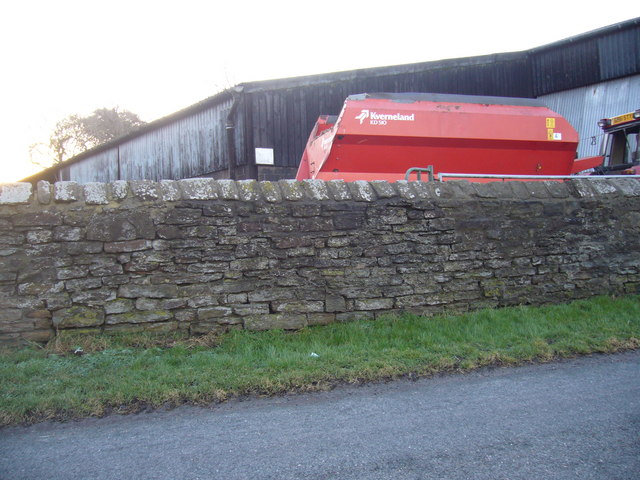
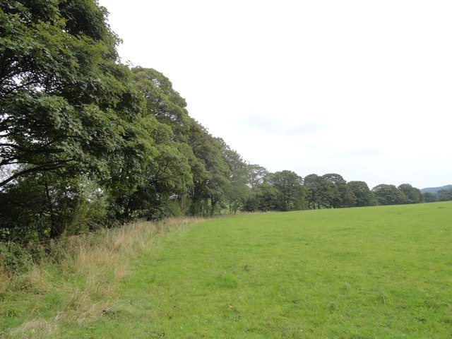
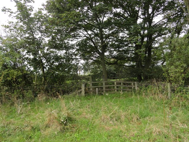
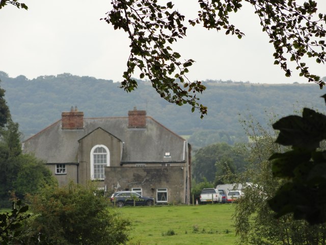
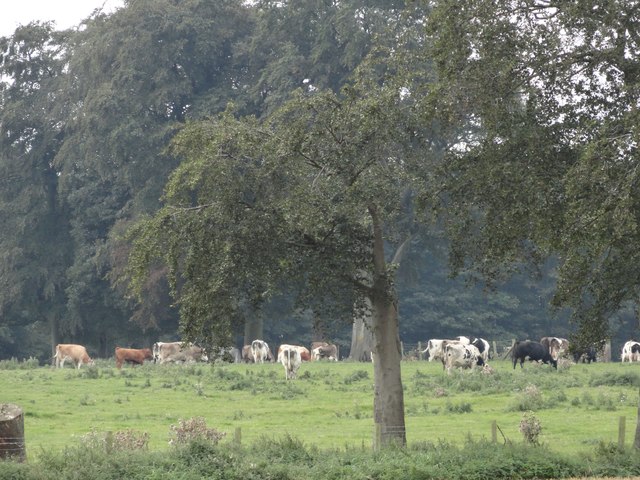
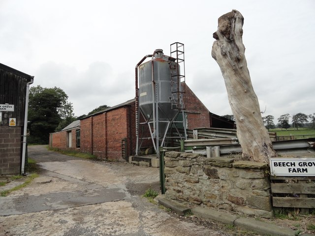
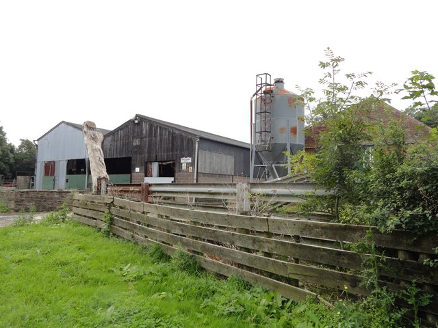
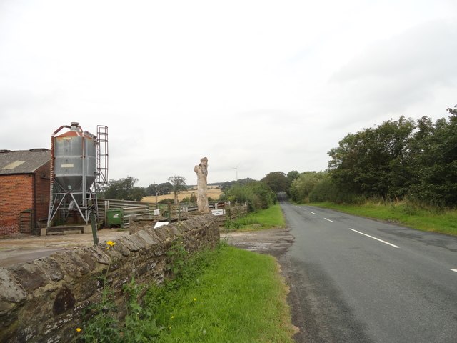
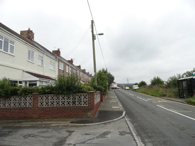
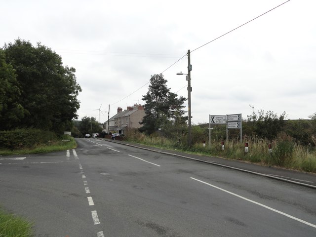
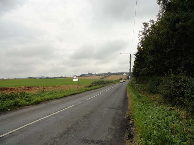
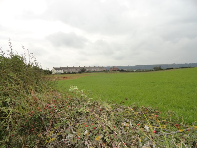
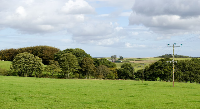
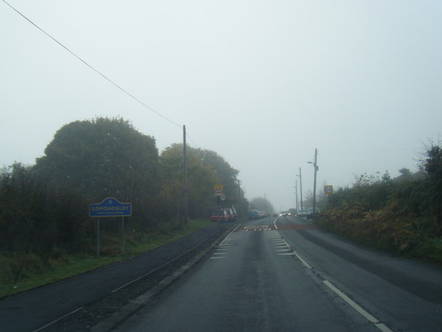
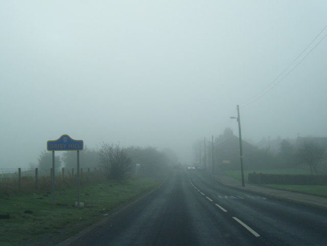
West Edmondsley Wood Images
Images are sourced within 2km of 54.830646/-1.6556632 or Grid Reference NZ2248. Thanks to Geograph Open Source API. All images are credited.
West Edmondsley Wood is located at Grid Ref: NZ2248 (Lat: 54.830646, Lng: -1.6556632)
Unitary Authority: County Durham
Police Authority: Durham
What 3 Words
///sailing.digitally.dented. Near Sacriston, Co. Durham
Nearby Locations
Related Wikis

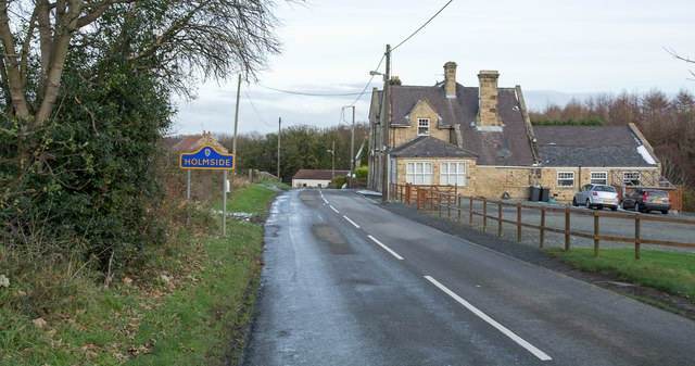
Holmside
Holmside is a village in County Durham, in England. It is situated to the north-west of Sacriston. The village has a 5.5 MW wind farm, Holmside Hall Wind...
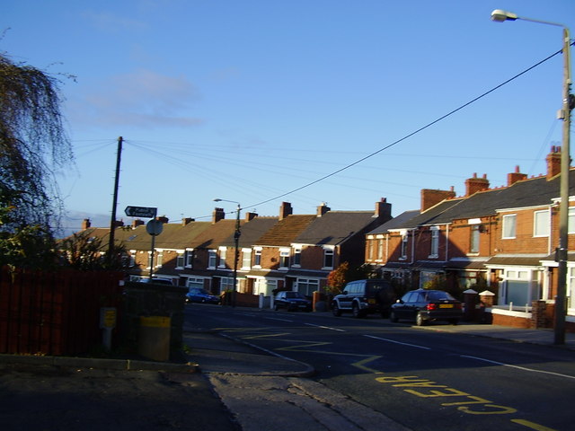
Edmondsley
Edmondsley is a small village in County Durham, England. It is situated a few miles south-west of Chester-le-Street, near the villages of Craghead and...
Holmside Hall
Holmside Hall is an early 19th-century farmhouse and equestrian centre at Holmside, Burnhope, County Durham, England. The farm is built on the site of...

Craghead
Craghead is a village and former civil parish, now in the parish of Stanley, in the County Durham district, in the ceremonial county of Durham, England...
Sacriston
Sacriston is a village and civil parish in County Durham, England, situated 3 miles (4.8 km) north of the city of Durham. Although the area has been populated...

Holmside Hall Wind Farm
Holmside Hall Wind Farm is a wind farm near Stanley, County Durham, England. Owned and operated by E.ON UK, the farm has a nameplate capacity of 5.5MW...
The Middles
The Middles is a village in County Durham, in England. It is situated between Stanley and Craghead. == References ==

Fox & Parrot Wood
Fox & Parrot Wood is a broadleaf woodland in County Durham, England, about 4 miles (6 km) west of Chester-le-Street. It is situated just north of the B6313...
Nearby Amenities
Located within 500m of 54.830646,-1.6556632Have you been to West Edmondsley Wood?
Leave your review of West Edmondsley Wood below (or comments, questions and feedback).